Install
Tayeeglow, Bakool, Somalia Weather
Current conditions
Forecast for this hour (no station report in the last two hours)
Forecast
10-day-
Wednesday
Fog. High 31°.
-
Wednesday Night
Fog. Low 21°.
-
Thursday
Fog. High 30°.
MET Norway forecast updated 16 hrs ago.
Hourly
Hourly forecast- Now22°
- 08:0024°
- 09:0026°
- 10:0028°
- 11:0029°
- 12:0030°
- 13:0030°
- 14:0031°
- 15:0031°
- 16:0030°
- 17:0029°
- 18:0027°
- 19:0025°
- 20:0024°
- 21:0024°
- 22:0023°
- 23:0023°
- Thu00:0023°
- 01:0022°
- 02:0022°
- 03:0021°
- 04:0021°
- 05:0022°
- 06:0022°
Daily forecast
DetailsRadar
Full mapWeather news in Somalia
More weather news-
 Daily weather tracker: Heavy rain alert for southern India; strong winds forecast over Arabian Sea
IMD has issued an orange alert for Tamil Nadu, Puducherry and Karaikal, warning of heavy to very heavy rainfall of up to 204.4mm on October 20 2026. Kerala, Mahe, coastal Andhra Pradesh and the Andaman and Nicobar…
-
 IMD weather forecast for October 20: Heavy rain, thunderstorms likely in Karnataka, Kerala and Andhra Pradesh
The weather department has also forecast thunderstorms and strong winds in several southern states over the coming days. Meanwhile, a well-marked low-pressure area over the southwest Arabian Sea is expected to move…
- Daily weather tracker: Arabian Sea low-pressure system may intensify; Tamil Nadu on orange alert for heavy rain
Heavy rainfall and thunderstorms are expected across southern India, with Tamil Nadu, Puducherry, and Karaikal under an orange alert for intense downpours. A low-pressure system in the Arabian Sea may intensify into a…
-
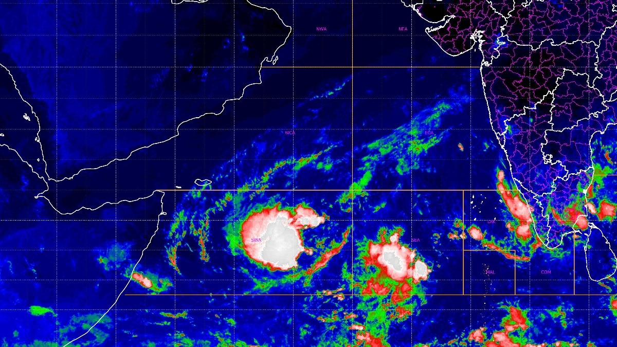 More rain on its way? Satellite spots developing system in Arabian Sea
A weather system over the southwest Arabian Sea is showing signs of intensification, with the India Meteorological Department (IMD) forecasting that it could strengthen into a depression within the next 24 hours. The…
-
 Heavy rainfall threatens port and transport operations in East Africa
Maersk has warned customers of potential port and transport disruptions across East Africa through December 2026, following forecasts of above-average rainfall during the October–December season. In an advisory issued…
- Rain Expected Across Many Kenyan Counties This Week – Here’s What the Weather Service Says
Kenya, October 16, 2026 - Kenya is set for more rain over the next seven days. The Kenya Meteorological Service has released its weekly forecast for 16 to 23 October 2026. Rain is expected in many parts of the country…
-
 Somalia Weekly Weather Forecast - Valid From 15 to 21 October 2026
• Heavy rains fell over Bay, Gedo, Mudug, Hiraan and parts of Somaliland during 6–12 October. Baidoa recorded 146.5 mm in 4 days, Bardheere 115.5 mm, Qansax Dheere 107.6 mm, Sheikh 100 mm and Hargeisa 86 mm in a single…
-
 Calaacule, Togdheer, Somalia Weather Radar
Quick cold snap with storms and snow coming for some in Northeast Simon is lingering; new threat brewing from Trudy in Mexico See it: Early snow blankets the West as Great Falls piles up 16 inches Flooding downpours and…
-
 WFP Eastern and Southern Africa Seasonal Outlook: Eastern and Southern Africa Regional Office (ESARO) - October 2026
World + 19 more • Above-normal rainfall and above-average temperatures are favoured across much of Eastern Africa during October to December 2026. Southern Ethiopia, central and southern Somalia and Kenya show the…
Sun & moon
Forecasts, observations and alerts in the United States come from the National Weather Service (NOAA); radar from NOAA's Multi-Radar Multi-Sensor system; satellite imagery from NASA's Global Imagery Browse Services (GIBS) and NOAA's GOES satellites; the map from the U.S. Geological Survey's National Map; air quality from AirNow (EPA and its partners); hurricane information from the National Hurricane Center; climate normals and records from NOAA's Regional Climate Centers (ACIS). Forecasts outside the United States and the UV index: MET Norway (CC BY 4.0); observations outside the U.S.: airport reports via NOAA's Aviation Weather Center. Place names: GeoNames (CC BY 4.0). Data are copied on a schedule and may lag the sources; for warnings that affect your safety, follow your local National Weather Service office and emergency officials. Weather news is drawn from the 4Search index and reflects what the press published. Terms of use.