Install
Šentilj v Slov. Goricah, Municipality of Šentilj, Slovenia Weather
Current conditions
Observed at Maribor/Rusjan Arpt · 1 hr ago
Forecast
10-day-
Monday
Partly cloudy. High 13°. Precipitation 0.2 mm for the day.
-
Monday Night
Light rain. Low 4°. Precipitation 0.2 mm for the day.
-
Tuesday
Mostly clear. High 13°.
MET Norway forecast updated 21 hrs ago.
Hourly
Hourly forecast- Now13°
- 13:0013°
- 14:0013°
- 15:0012°
- 16:0011°
- 17:008°
- 18:007°
- 19:007°
- 20:006°
- 21:006°
- 22:005°
- 23:005°
- Tue00:004°
- 01:003°
- 02:003°
- 03:003°
- 04:002°
- 05:002°
- 06:002°
- 07:002°
- 08:005°
- 09:007°
- 10:009°
- 11:0011°
Daily forecast
DetailsRadar
Full mapWeather news
More weather news-
 A wild winter is brewing. Here’s what meteorologists want you to know.
Breaking news and analysis on politics, business, world, national news, entertainment and more. In-depth DC, Virginia, Maryland news coverage including traffic, weather, crime, education, restaurant reviews and more…
-
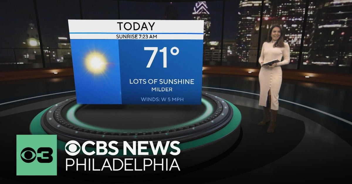 Mild and dry fall weather with clear skies in the Philadelphia region | NEXT Weather
CBS News Bay Area Evening Edition 11pm WBZ This Morning 5am CBS News Detroit 5am CBS News Los Angeles Weekend 11pm CBS News Miami 5am CBS News Philadelphia 5am KDKA-TV Morning News 5am
-
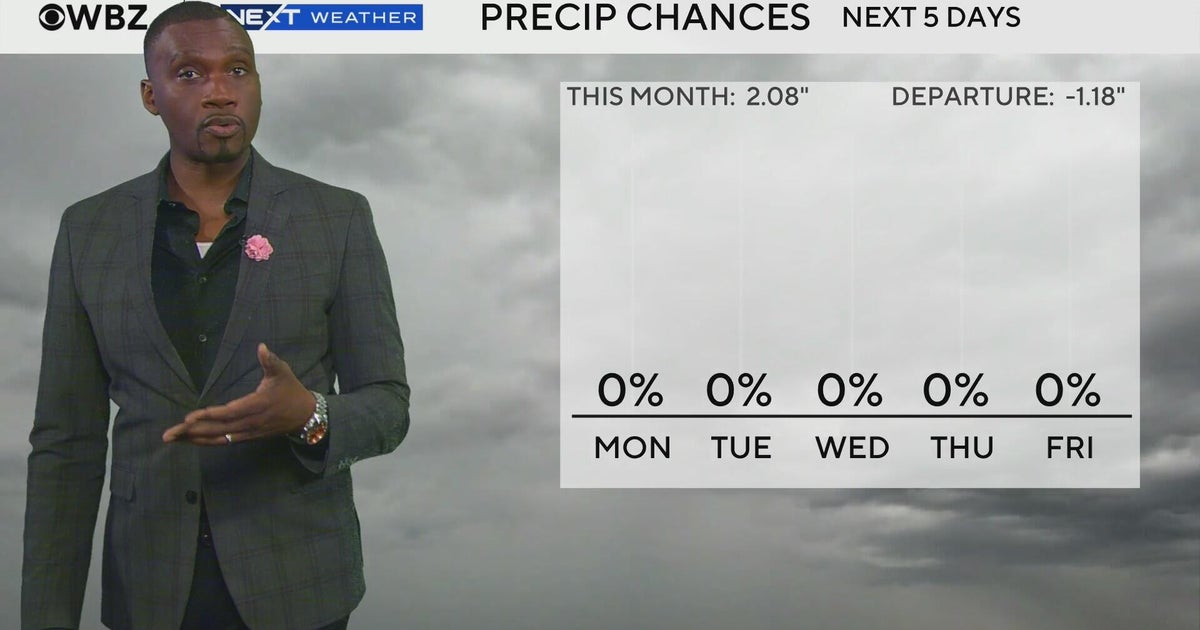 Next Weather: WBZ morning forecast for Oct. 26, 2026
CBS News Bay Area Evening Edition 11pm WBZ This Morning 5am CBS News Detroit 5am CBS News Los Angeles Weekend 11pm CBS News Miami 5am CBS News Philadelphia 5am KDKA-TV Morning News 5am
-
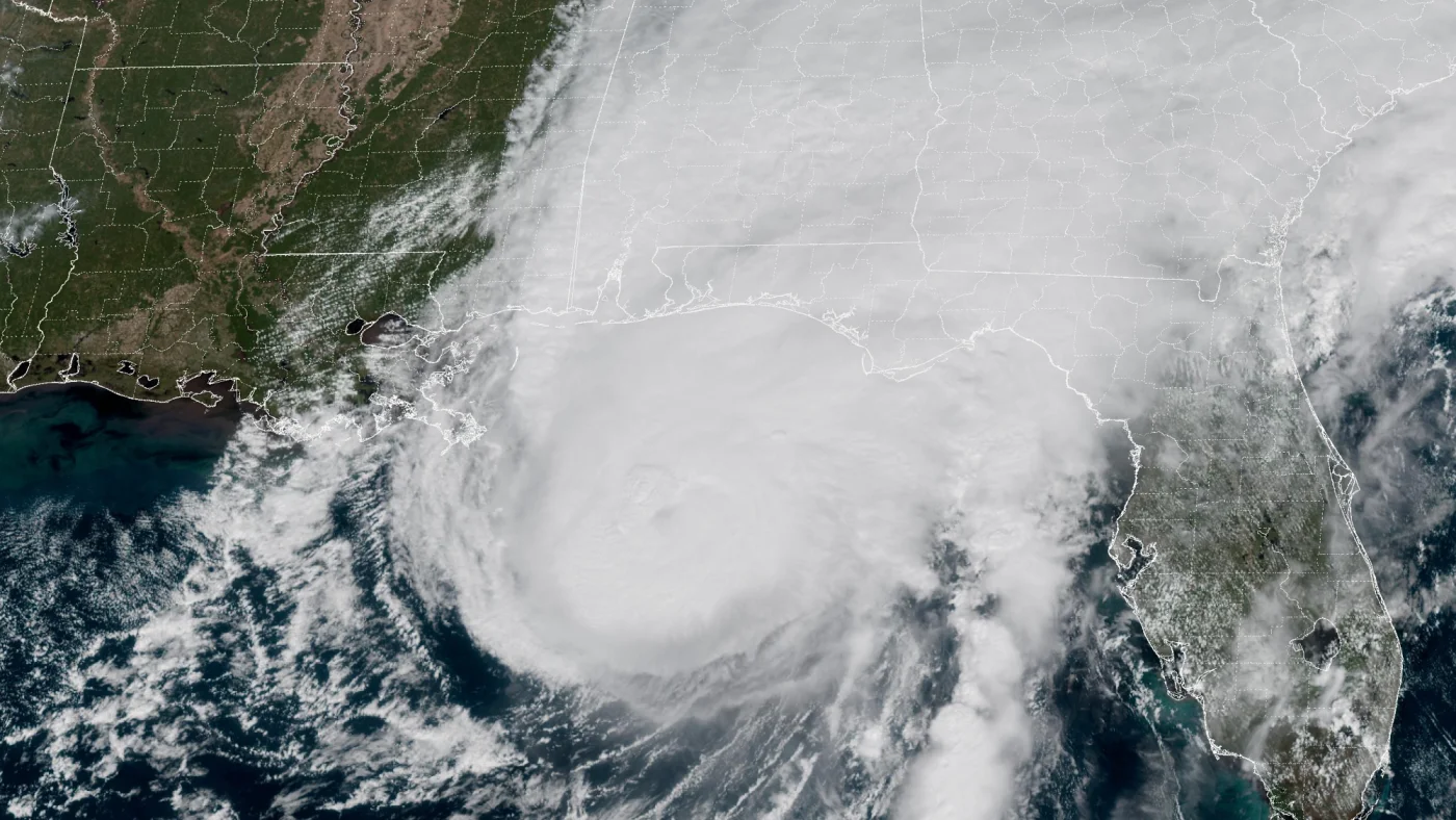 How AI is transforming hurricane forecasts
A satellite image provided by the National Oceanic and Atmospheric Administration (NOAA) shows Hurricane Isaias approaching the Gulf Coast of Alabama and Florida on Friday, Oct. 9 2026. NOAA/NOAA hide caption Hurricane…
-
 Storm Boelo clears but more wind and rain bears down on UK
After a weekend of heavy downpours and severe gales, Storm Boelo is moving away from the UK and the weather has turned calmer. However, this may not last long as another deep area of low pressure is already approaching…
-
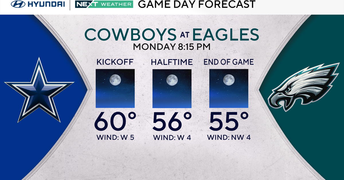 Terrific stretch of October weather continues for Philadelphia Eagles-Dallas Cowboys game Monday
October 25, 2026 / 11:52 PM EDT / CBS Philadelphia It will be a beautiful start to the workweek with plenty of sunshine, light winds and temperatures climbing to around 70 degrees in the Philadelphia region. We're…
-
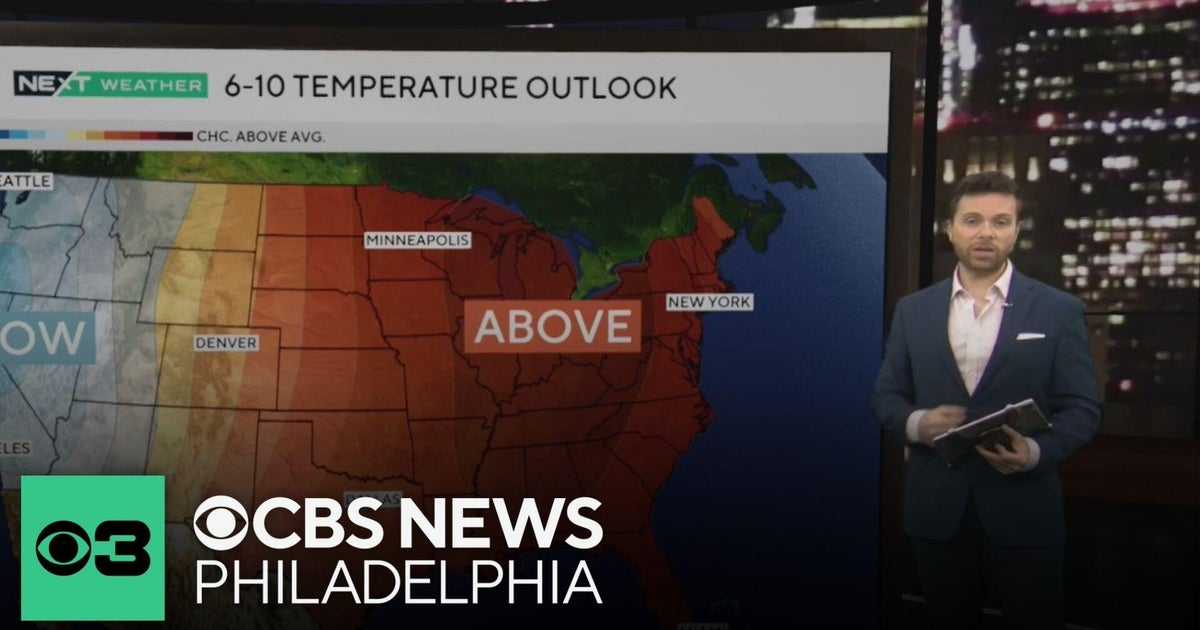 Beautiful stretch of October weather in Philadelphia region
CBS News Philadelphia is a local news organization that is part of CBS News and Stations. Also referred to as KYW-TV and channel 3, CBS News Philadelphia offers local breaking news, weather coverage and investigative…
-
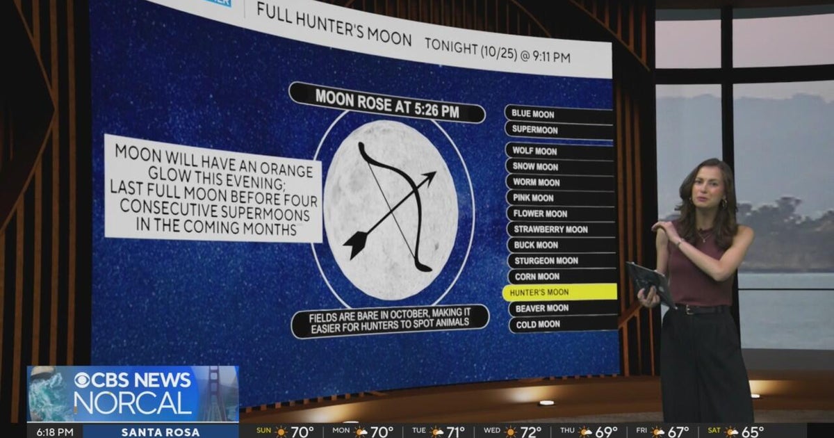 First Alert Weather Sunday evening forecast 10-25-26
CBS News Bay Area Evening Edition Weekend 6pm CBS News Detroit Weekend 6:30pm CBS News Miami 6:30pm CBS Philadelphia at 6:30pm KDKA News Weekend 10pm Your Community Stories From Your Reporters CBS News Texas 5:30pm
-
 Next Weather: WBZ Evening Update for Oct. 25
CBS News Colorado Weekend 5pm CBS News Detroit Weekend 6:30pm CBS News Miami 6:30pm CBS Philadelphia at 6:30pm KDKA News Weekends 6:30pm CBS News Texas 5:30pm
-
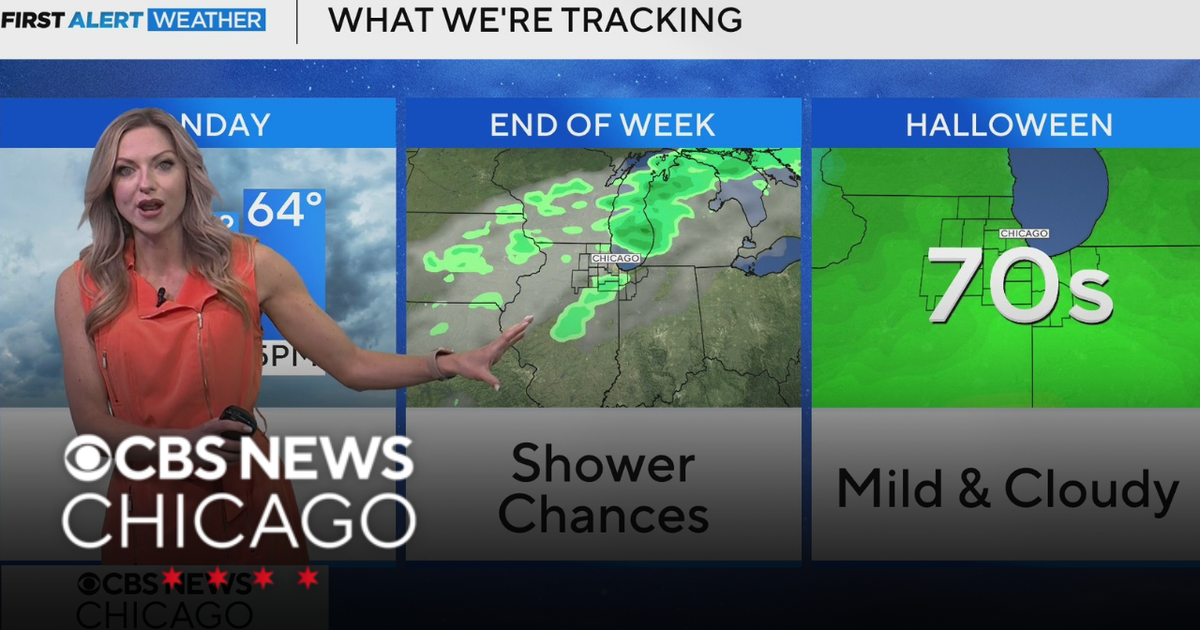 Areas of fog in Chicago Sunday night
CBS News Colorado Weekend 5pm CBS News Detroit Weekend 6:30pm CBS News Miami 6:30pm CBS Philadelphia at 6:30pm KDKA News Weekends 6:30pm CBS News Texas 5:30pm
Sun & moon
Nearby
- Graz 46 km
- Maribor 14 km
- Celje 58 km
- Velenje 55 km
- Ptuj 34 km
- Murska Sobota 40 km
- Voitsberg 55 km
- Weiz 60 km
- Szentgotthárd 56 km
- Leibnitz 14 km
- Deutschlandsberg 36 km
- Seiersberg 40 km
Forecasts, observations and alerts in the United States come from the National Weather Service (NOAA); radar from NOAA's Multi-Radar Multi-Sensor system; satellite imagery from NASA's Global Imagery Browse Services (GIBS) and NOAA's GOES satellites; the map from the U.S. Geological Survey's National Map; air quality from AirNow (EPA and its partners); hurricane information from the National Hurricane Center; climate normals and records from NOAA's Regional Climate Centers (ACIS). Forecasts outside the United States and the UV index: MET Norway (CC BY 4.0); observations outside the U.S.: airport reports via NOAA's Aviation Weather Center. Place names: GeoNames (CC BY 4.0). Data are copied on a schedule and may lag the sources; for warnings that affect your safety, follow your local National Weather Service office and emergency officials. Weather news is drawn from the 4Search index and reflects what the press published. Terms of use. How to use Weather