Install
Yio Chu Kang, Singapore Weather
Current conditions
Observed at Singapore/Seletar Arpt · 1 hr ago
Forecast
10-day-
Monday
Heavy rain. High 30°. Precipitation 3.2 mm for the day.
-
Monday Night
Fog. Low 24°. Precipitation 3.2 mm for the day.
-
Tuesday
Heavy rain. High 30°. Precipitation 8.8 mm for the day.
MET Norway forecast updated 12 hrs ago.
Hourly
Hourly forecast- Now27°1.2
- 11:0028°0.6
- 12:0028°0.4
- 13:0029°0.3
- 14:0030°0.2
- 15:0030°
- 16:0030°
- 17:0028°
- 18:0028°
- 19:0027°
- 20:0026°
- 21:0026°
- 22:0026°
- 23:0026°
- Tue00:0026°
- 01:0025°
- 02:0025°
- 03:0025°
- 04:0025°
- 05:0025°
- 06:0025°
- 07:0024°0.5
- 08:0025°0.4
- 09:0026°
Daily forecast
DetailsRadar
Full mapWeather news in Singapore
More weather news- PM2.5 normal on Sunday morning; haze likely to ease from Monday, Singapore News
Air quality in Singapore improved ahead of Sunday (Oct 25) activities as hourly PM2.5 readings islandwide dropped back into the normal band (0 - 55 µg/m3) by 8am. The northern, central and southern readings were back in…
-
 Showers bring PM2.5 back to normal band in 4 regions; haze outlook likely to improve from Monday, Singapore News
Moderate to heavy thundery showers across several areas of Singapore on Saturday (Oct 24) afternoon helped improve haze conditions, with hourly PM2.5 falling into the normal band (0 to 55µg/m3) in four regions. At 5pm…
- Thundery showers expected over many areas of Singapore on Oct 24 afternoon, Singapore News
Heavy rain is expected over many parts of Singapore on Saturday (Oct 24) afternoon. In a weather warning issued at 12.56pm, the Meteorological Service Singapore said that moderate to heavy thundery showers with gusty…
-
 Hazy start to the weekend as PSI reaches unhealthy levels in Singapore; thundery showers expected later, Singapore News
Residents in Singapore woke up to deteriorating air quality on Saturday morning (Oct 24), with haze conditions worsening overnight. As at 10am, the hourly PM2.5 readings were in the elevated range islandwide, with the…
-
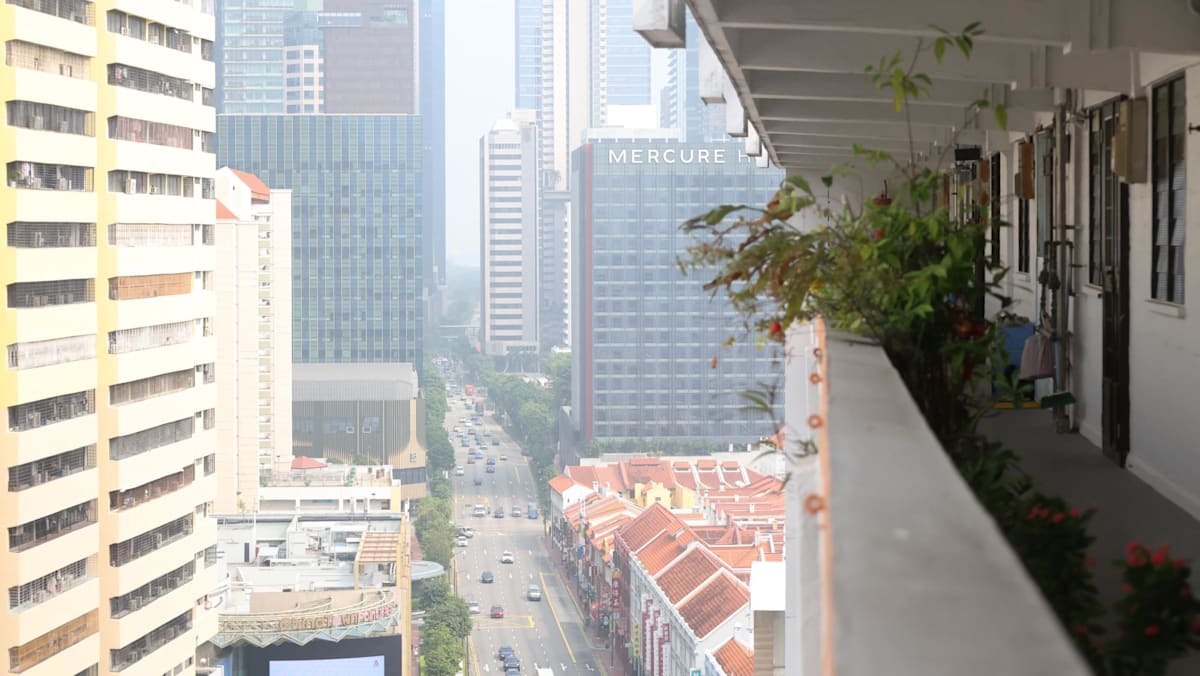 Haze worsens overnight as air quality turns unhealthy across Singapore
Showers are forecast over Singapore and the surrounding region on Saturday, said NEA, although smoke haze could continue to be transported from Sumatra. SINGAPORE: Air quality worsened overnight, with the 24-hour…
-
 Singapore haze: Air quality in west and central hits unhealthy range as PM2.5 readings rise islandwide
SINGAPORE: Air quality in western and central Singapore entered the unhealthy range on Friday (Oct 23), as hourly PM2.5 readings rose across the island. The 24-hour Pollutant Standards Index (PSI) in the west reached…
- PM2.5 elevated islandwide, smoke haze may affect Singapore again on Saturday, Singapore News
If you are looking forward to outdoor activities over the weekend, after seeing better PM2.5 and PSI levels across Singapore on Friday (Oct 23) morning, you may have to adjust your plans. The Republic's "oxygen pass"…
-
 BBC Audio | What in the World | Five ways El Niño is affecting weather around the world
El Niño has been strengthening for several months now and is already having a significant impact on global weather patterns. Countries including Indonesia, India and the United States have been experiencing droughts…
- Haze eases in Singapore as residents wake up to improved air quality
Published Oct 23, 2026, 06:16 AM Updated Oct 23, 2026, 10:22 AM SINGAPORE - Residents in all areas across the island woke up to air quality in the good to moderate range early on Oct 23. At 6am, the PM2.5 readings – a…
- Smoke haze may affect Singapore till Saturday, condition expected to improve on Sunday: NEA, Singapore News
Air quality in Singapore improved from 3pm on Thursday (Oct 22), with islandwide 24-hour Pollutant Standards Index (PSI) in the moderate range, while hourly PM2.5 were in the normal band in all five regions. Thursday…
Sun & moon
Nearby
- Singapore 11 km
- Batam 33 km
- Johor Bahru 13 km
- Pelentong 15 km
- Iskandar Puteri 25 km
- Pasir Gudang 10 km
- Mukim Pulai 26 km
- Kampung Larkin Lama 17 km
- Kampung Kangkar Teberau 19 km
- Ulu Bedok 11 km
- Bedok New Town 12 km
- Sengkang New Town 5 km
Forecasts, observations and alerts in the United States come from the National Weather Service (NOAA); radar from NOAA's Multi-Radar Multi-Sensor system; satellite imagery from NASA's Global Imagery Browse Services (GIBS) and NOAA's GOES satellites; the map from the U.S. Geological Survey's National Map; air quality from AirNow (EPA and its partners); hurricane information from the National Hurricane Center; climate normals and records from NOAA's Regional Climate Centers (ACIS). Forecasts outside the United States and the UV index: MET Norway (CC BY 4.0); observations outside the U.S.: airport reports via NOAA's Aviation Weather Center. Place names: GeoNames (CC BY 4.0). Data are copied on a schedule and may lag the sources; for warnings that affect your safety, follow your local National Weather Service office and emergency officials. Weather news is drawn from the 4Search index and reflects what the press published. Terms of use. How to use Weather