Install
Bukit Timah, Singapore Weather
Current conditions
Forecast for this hour (no station report in the last two hours)
Forecast
10-day-
Thursday
Heavy rain. High 32°. Precipitation 4.5 mm for the day.
-
Thursday Night
Heavy showers. Low 24°. Precipitation 4.5 mm for the day.
-
Friday
Fog. High 34°.
MET Norway forecast updated 1 day ago.
Hourly
Hourly forecast- Now24°
- 06:0024°
- 07:0024°
- 08:0025°
- 09:0027°
- 10:0029°
- 11:0031°
- 12:0032°1.2
- 13:0029°1.1
- 14:0030°
- 15:0031°0.2
- 16:0030°
- 17:0030°
- 18:0030°
- 19:0028°0.2
- 20:0027°0.2
- 21:0026°
- 22:0026°
- 23:0026°
- Fri00:0026°
- 01:0025°
- 02:0025°
- 03:0025°
- 04:0025°
Daily forecast
DetailsRadar
Full mapWeather news near Bukit Timah
More weather news-
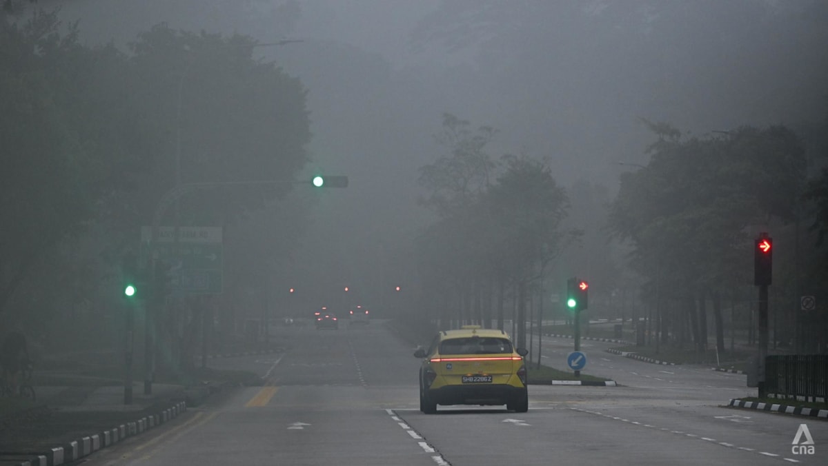 Air quality in Singapore mostly unhealthy; PM2.5 elevated in three regions
SINGAPORE: Air quality in Singapore was mostly unhealthy at 7am on Monday (Oct 19), with the 24-hour Pollutant Standard Index (PSI) ranging from 90 at a moderate level in the north to 136 at an unhealthy level in the…
- Haze in Singapore: Air quality improves but most regions remain in unhealthy band
Published Oct 19, 2026, 06:15 AM Updated Oct 19, 2026, 07:40 AM SINGAPORE - The haze situation improved overnight on Oct 19, with the 24-hour PSI readings falling across the board, although in four of the five regions…
-
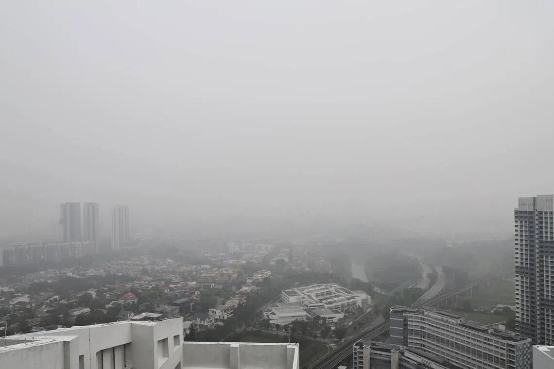 Haze in Singapore: PSI hits new high in west; air quality remains unhealthy across other regions
SINGAPORE (The Straits Times/ANN): The air quality across the island remained poor on Oct 18, with the 24-hour PSI hitting a new season high of 230 at 10am in the west. At 10am, the PSI readings for the rest of the…
-
 Singapore air quality improves as winds shift, but haze persists
NST Online What To Read Next
-
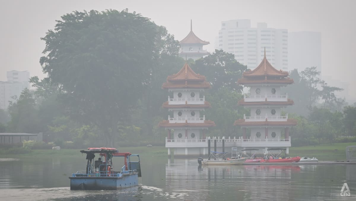 Singapore haze: Air quality remains very unhealthy in west, unhealthy in other regions
At 10am, the 24-hour PSI in the west hit 230 – a new high for the country this year. SINGAPORE: Air quality in western Singapore remained very unhealthy on Sunday (Oct 18), with the 24-hour Pollutant Standards Index…
-
 Rare 'normal' PM2.5 in 3 regions on Oct 18; PSI at season-high 230 in western Singapore, Singapore News
Singapore calculates its PSI based on six pollutant particulate matter — PM10 and PM2.5, sulphur dioxide, nitrogen dioxide, ozone and carbon monoxide. With one-hour PM2.5 concentration readings in the high and very high…
- Haze in Singapore: Runners train in malls, families head for indoor playgrounds
Fitness enthusiasts spent their Saturday morning running laps through Marina Square with X-Run Singapore. Published Oct 18, 2026, 01:45 PM Updated Oct 18, 2026, 02:49 PM SINGAPORE – As the worst haze since 2015…
-
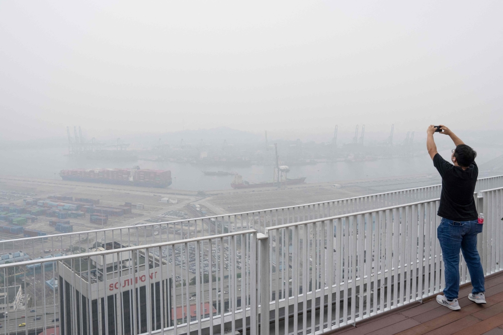 Singapore’s west records season-high PSI of 230 as haze enters 14th day
SINGAPORE, Oct 18 — Singapore’s western region recorded a season-high Pollutant Standards Index (PSI) reading of 230 at 10am today, as the island endured its 14th consecutive day of unhealthy air quality. The Straits…
- Haze in S’pore: PSI hits new high in west; air quality remains unhealthy across other regions
Published Oct 18, 2026, 07:20 AM Updated Oct 18, 2026, 12:31 PM SINGAPORE – The air quality across the island remained poor on Oct 18, with the 24-hour PSI in the west hitting a season high of 230 at 10am before dipping…
-
 Singapore haze keeps air quality unhealthy across island, with PM2.5 levels high in most regions
SINGAPORE; Hazy conditions persisted into the afternoon of Oct 17, even as the 24-hour Pollutant Standards Index (PSI) in central Singapore dipped back into the “unhealthy” band after remaining in the “very unhealthy”…
Sun & moon
Nearby
- Singapore 8 km
- Batam 33 km
- Johor Bahru 16 km
- Pelentong 22 km
- Iskandar Puteri 20 km
- Pasir Gudang 20 km
- Mukim Pulai 27 km
- Kampung Larkin Lama 20 km
- Kampung Kangkar Teberau 23 km
- Ulu Bedok 16 km
- Bedok New Town 17 km
- Sengkang New Town 14 km
Forecasts, observations and alerts in the United States come from the National Weather Service (NOAA); radar from NOAA's Multi-Radar Multi-Sensor system; satellite imagery from NASA's Global Imagery Browse Services (GIBS) and NOAA's GOES satellites; the map from the U.S. Geological Survey's National Map; air quality from AirNow (EPA and its partners); hurricane information from the National Hurricane Center; climate normals and records from NOAA's Regional Climate Centers (ACIS). Forecasts outside the United States and the UV index: MET Norway (CC BY 4.0); observations outside the U.S.: airport reports via NOAA's Aviation Weather Center. Place names: GeoNames (CC BY 4.0). Data are copied on a schedule and may lag the sources; for warnings that affect your safety, follow your local National Weather Service office and emergency officials. Weather news is drawn from the 4Search index and reflects what the press published. Terms of use.