Install
Ed, Västra Götaland, Sweden Weather
Current conditions
Forecast for this hour (no station report in the last two hours)
Forecast
10-day-
Wednesday
Heavy rain. High 11°. Precipitation 14.5 mm for the day.
-
Wednesday Night
Heavy rain. Low 7°. Precipitation 14.5 mm for the day.
-
Thursday
Heavy rain. High 11°. Precipitation 11.1 mm for the day.
MET Norway forecast updated 14 hrs ago.
Hourly
Hourly forecast- Now10°27%
- 14:0011°
- 15:0011°
- 16:0011°
- 17:0011°18%
- 18:0011°34%
- 19:0010°67%
- 20:0010°88%
- 21:0010°90%
- 22:0010°82%
- 23:0010°70%
- Thu00:0010°64%
- 01:0011°60%
- 02:0010°51%
- 03:0010°44%
- 04:0010°43%
- 05:0011°47%
- 06:0010°44%
- 07:0010°51%
- 08:0010°68%
- 09:0010°80%
- 10:0011°92%
- 11:0011°95%
- 12:0011°98%
10-day forecast
DetailsRadar
Full mapWeather news near Ed
More weather news-
 Another nor'easter could soon be dumping on the Jersey Shore
Just a few weeks after the Jersey Shore was hammered by a nor'easter, another coastal storm is on the way to mid-Atlantic states this week, including parts of coastal South Jersey, bringing gusty winds, beach erosion…
-
 Temperatures plunge below freezing in many areas tonight; Freeze Warning in effect
Temperatures will plunge below freezing in many areas tonight, leading to a Freeze Warning for the entire area. Many locations will wake up with temperatures in the 20s to start the day. Sunshine will get us back up…
-
 Pennsylvania weather: Cold, cloudy, breezy in upper 40s
Alert!: Freeze watch Saturday night through Sunday morning (WBRE/WYOU) — Skies will clear and winds will diminish Saturday night with high pressure moving overhead. The clear sky and light winds will allow for cooling…
-
 Strong cold front to bring major changes into the weekend
by Meteorologist Ed Russo The severe risk today is at threat level 2 out of 5. Again, the main risk from any stronger storm will be brief, damaging wind gusts approaching 60 mph. Saturday will be much cooler and windy…
-
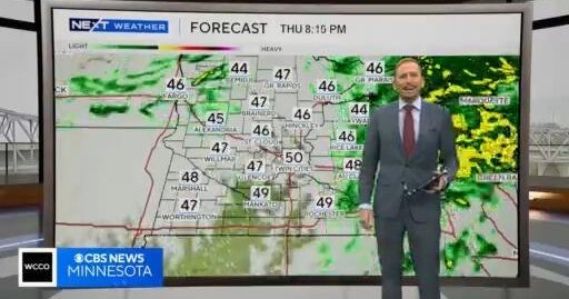 NEXT Weather: Noon report for Minnesota on Oct. 15, 2026
CBS News NEXT Weather: Noon report for Minnesota on Oct. 15, 2026 Minnesota company focuses on creating opportunity for farmers in Philippines WCCO’s Shayla Reaves, husband Leonard Searcy compete as American Heart…
-
 “There will never be less than two pilots in a Delta cockpit,” CEO Ed Bastian says
CBS News “There will never be less than two pilots in a Delta cockpit,” CEO Ed Bastian says St. Paul City Council approves study to examine impact of driverless vehicles Despite high prices for travel, there’s still…
-
 More winter rain, more potholes, road crews warn
Ed Bradford says increasingly extreme weather is creating new challenges for road maintenance teams Gritting crews have warned that increasingly extreme weather is making it harder to keep roads in good condition, as…
-
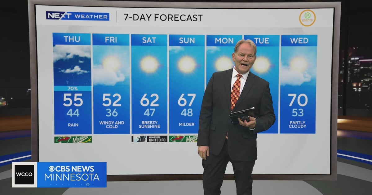 NEXT Weather: 10 p.m. report for Minnesota on Oct. 14, 2026
CBS News NEXT Weather: 10 p.m. report for Minnesota on Oct. 14, 2026 Event brings dance floors to unexpected spaces across Minneapolis NEXT Weather: 6 p.m. report for Minnesota on Oct. 14, 2026 Florists hand out free…
-
 Florists hand out free flowers at Mall of America
CBS News Florists hand out free flowers at Mall of America NEXT Weather: 6 p.m. report for Minnesota on Oct. 14, 2026 What makes this new Minnesota community so unique Federal government takes over Red Lake Nation child…
-
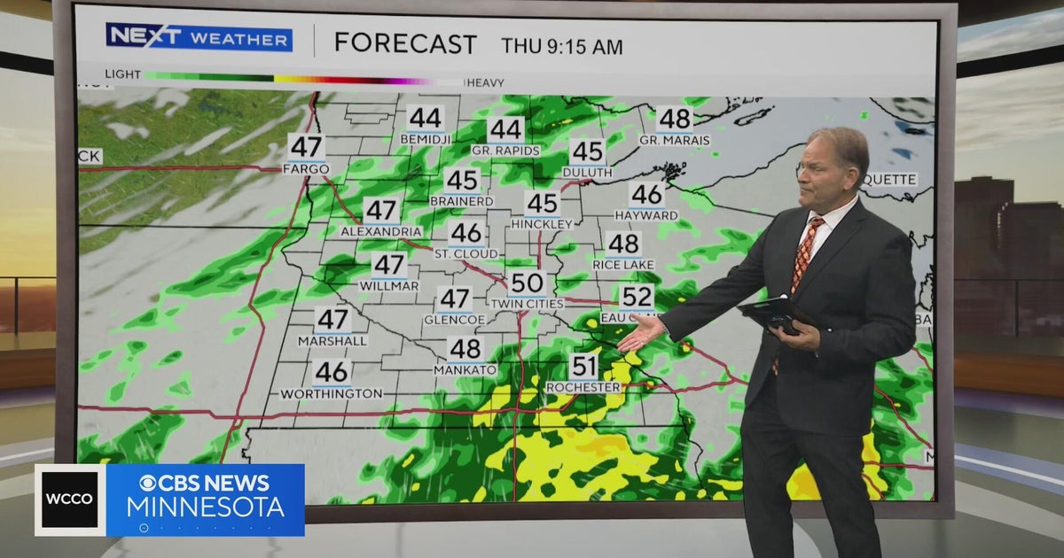 NEXT Weather: 6 p.m. report for Minnesota on Oct. 14, 2026
CBS News NEXT Weather: 6 p.m. report for Minnesota on Oct. 14, 2026 St. Paul City Council approves study to examine impact of driverless vehicles Despite high prices for travel, there’s still plenty of demand Feds seize…
Forecasts, observations and alerts in the United States come from the National Weather Service (NOAA); radar from NOAA's Multi-Radar Multi-Sensor system; satellite imagery from NASA's Global Imagery Browse Services (GIBS) and NOAA's GOES satellites; the map from the U.S. Geological Survey's National Map; air quality from AirNow (EPA and its partners); hurricane information from the National Hurricane Center; climate normals and records from NOAA's Regional Climate Centers (ACIS). Forecasts outside the United States and the UV index: MET Norway (CC BY 4.0); observations outside the U.S.: airport reports via NOAA's Aviation Weather Center. Place names: GeoNames (CC BY 4.0). Data are copied on a schedule and may lag the sources; for warnings that affect your safety, follow your local National Weather Service office and emergency officials. Weather news is drawn from the 4Search index and reflects what the press published. Terms of use.