Install
Glacis, Seychelles Weather
Current conditions
Forecast for this hour (no station report in the last two hours)
Forecast
10-day-
Wednesday
Light rain. High 29°. Precipitation 1.5 mm for the day.
-
Wednesday Night
Rain. Low 27°. Precipitation 1.5 mm for the day.
-
Thursday
Cloudy. High 28°. Precipitation 1.3 mm for the day.
MET Norway forecast updated 6 hrs ago.
Hourly
Hourly forecast- Now27°0.3
- 19:0028°
- 20:0029°
- 21:0028°
- 22:0028°0.2
- 23:0028°0.5
- Thu00:0028°1.2
- 01:0027°
- 02:0027°
- 03:0027°
- 04:0028°
- 05:0028°
- 06:0028°
- 07:0028°
- 08:0028°
- 09:0028°
- 10:0028°
- 11:0028°
- 12:0028°
- 13:0028°
- 14:0028°
- 15:0028°
- 16:0028°
- 17:0028°
Daily forecast
DetailsRadar
Full mapWeather news
More weather news-
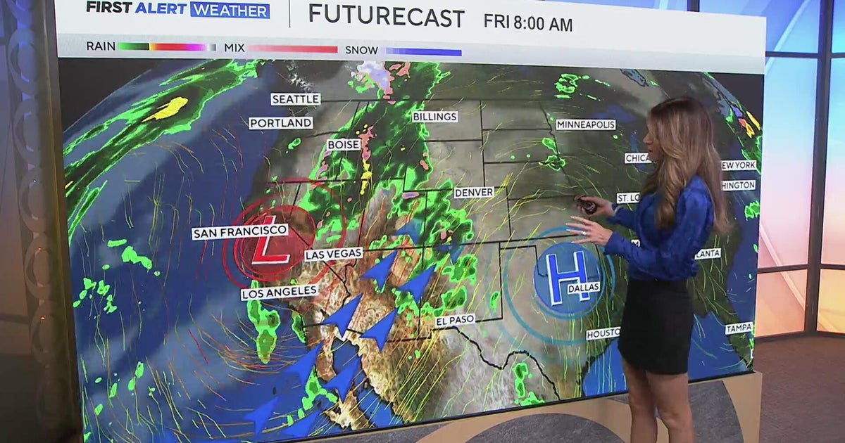 Southwest Colorado braces for heavy rain while dry and warm weather continue for Denver
CBS News Southwest Colorado braces for heavy rain while dry and warm weather continue for Denver I-25 expansion project in Northern Colorado nears completion Ugandan priest released from ICE custody after more than a…
-
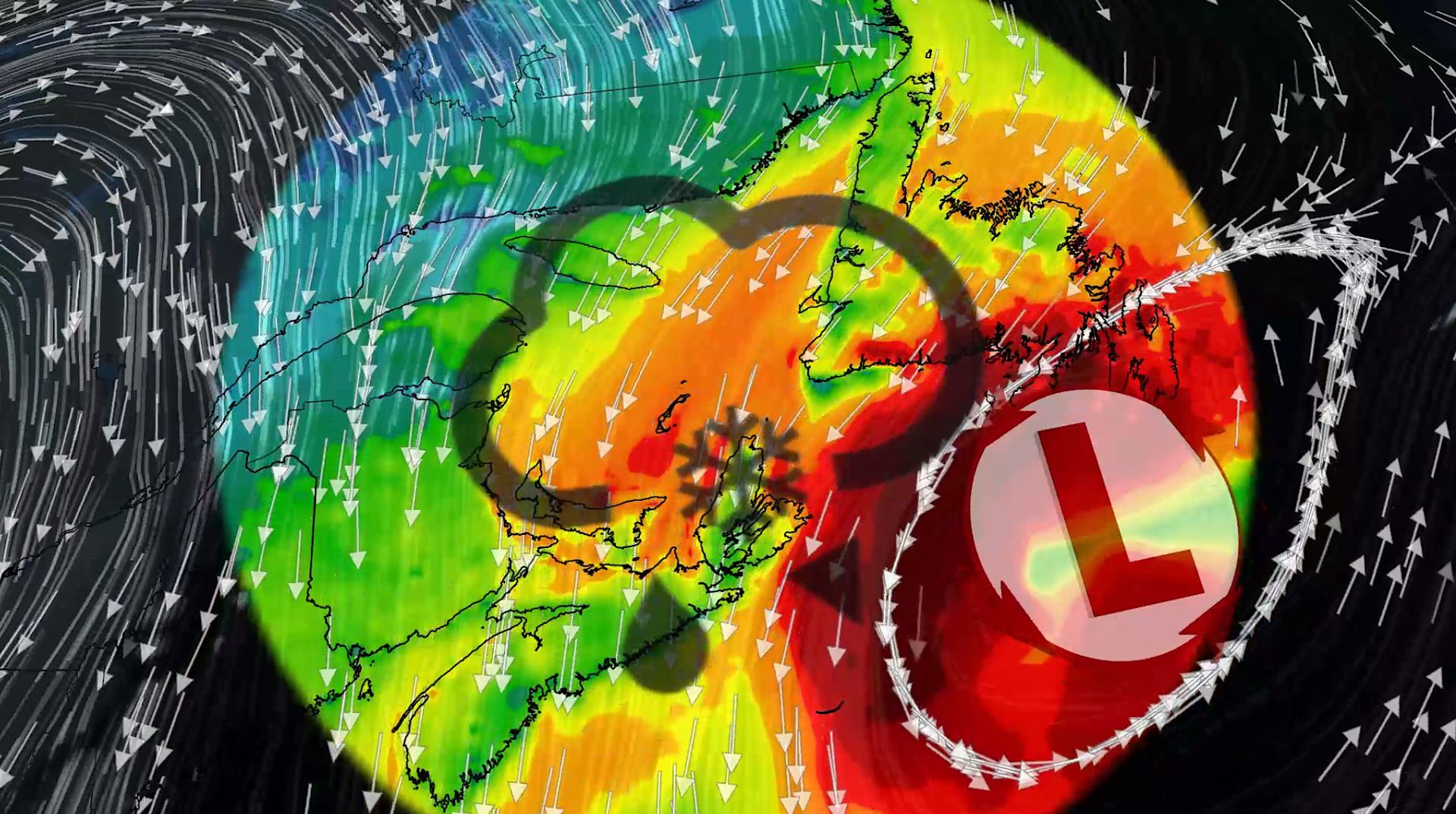 100+ km/h winds and snow: Nor'easter to clip Atlantic Canada this week
A comprehensive look at the developing nor'easter this week, including its potential for significant wind, rainfall, and possibly some snow for parts of Atlantic Canada Atlantic Canada may be in for a rough middle of…
-
 Summerlike warmth continues Wednesday in the Twin Cities
Updated on: October 21, 2026 / 6:50 AM CDT / CBS Minnesota After a chilly start in some parts, Wednesday will be sunny and mild in the Twin Cities with highs near 70 degrees. Summerlike warmth continues Thursday and…
-
 Irish weather warning ahead of Storm Austen
Weather warnings have been issued across the Republic of Ireland ahead of the arrival of Storm Austen from the Atlantic on Thursday. The storm is forecast to track to the south coast on Thursday evening into Friday…
-
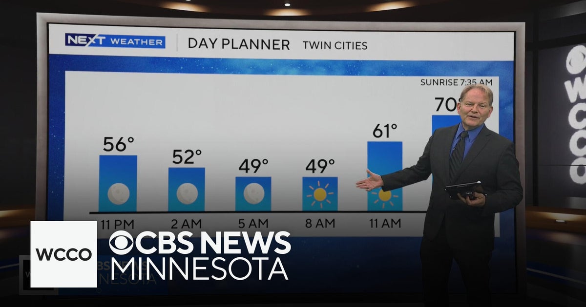 No rain in sight for Minnesota, but several days in the 70s on the way
WBZ This Morning 6am CBS News Chicago 5am CBS News Detroit 6am CBS News Miami 6am CBS News New York This Morning CBS News Philadelphia 6am KDKA-TV Morning News 6am CBS News Texas 5am
-
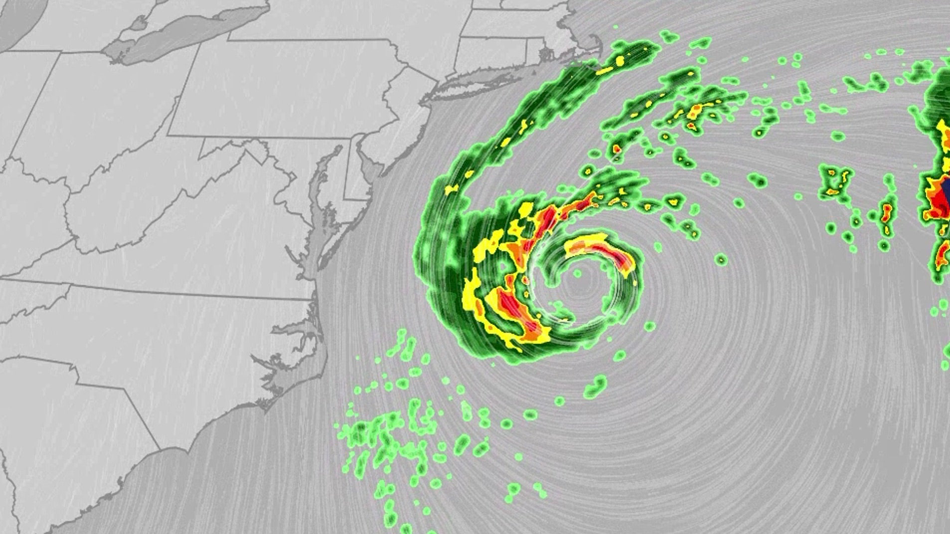 Nor'easter lashes coast from Carolinas to Northeast
An October nor'easter is still hugging the Atlantic coast, where it will bring high surf, rip currents, coastal flooding and winds to parts of the East Coast for several more days. The National Hurricane Center is…
-
 Boat owners urged to prepare for Storm Austen
Boat owners in Guernsey have been advised to ensure their vessels are safe ahead of stormy weather Boat owners have been told to ensure their vessels are ready for the winter with stormy conditions forecast. Guernsey…
-
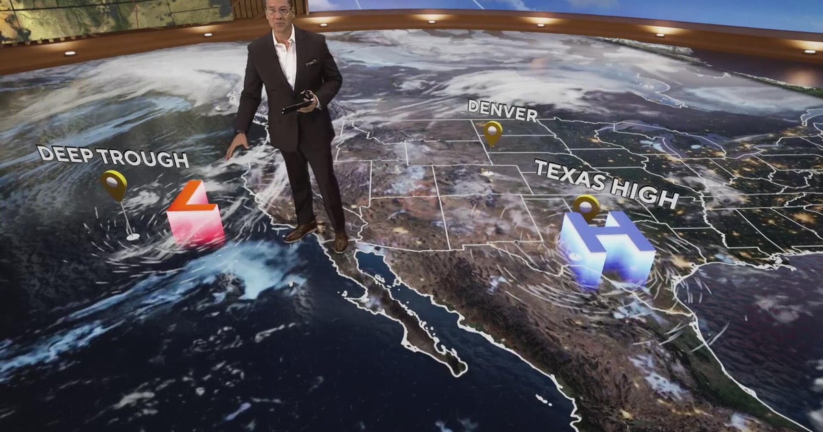 More clouds for Front Range with flooding rains heading to southwest Colorado
CBS News More clouds for Front Range with flooding rains heading to southwest Colorado MS misdiagnoses raise concerns, Colorado doctors warn of unnecessary treatment risks College bound Coloradans get ready for state…
-
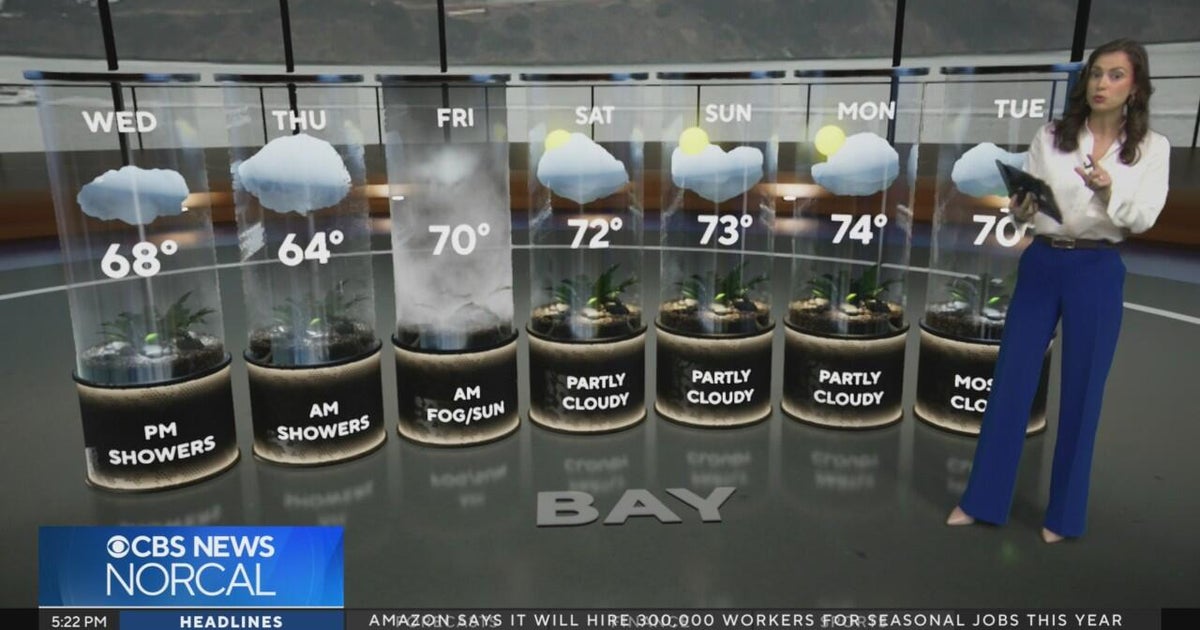 Tuesday evening First Alert weather forecast - 10/20/26
CBS News Tuesday evening First Alert weather forecast - 10/20/26 Becerra, Hilton campaign for California governor in Bay Area 2 weeks out from Election Day Oakland considers raising nuisance property fines to $10,000 a…
-
 Slow-moving system could bring days of heavy rain and flooding to the Bahamas and Florida
A slow-moving system is developing near the Southwest Atlantic, bringing days of rain to Florida. Some areas could see 3 to 5 inches. A Level 1 out of 4 flash flood risk has been issued for Friday, while a Level 2 out…
Sun & moon
Nearby
- Victoria 5 km
- Cascade 12 km
- Perseverance 4 km
- Baie Sainte Anne 45 km
- Baie Lazare 20 km
- Anse aux Pins 15 km
- Grand'Anse 42 km
- English River 5 km
- Anse Boileau 16 km
- Bel Ombre 5 km
- Beau Vallon 5 km
- Grand'Anse 11 km
Forecasts, observations and alerts in the United States come from the National Weather Service (NOAA); radar from NOAA's Multi-Radar Multi-Sensor system; satellite imagery from NASA's Global Imagery Browse Services (GIBS) and NOAA's GOES satellites; the map from the U.S. Geological Survey's National Map; air quality from AirNow (EPA and its partners); hurricane information from the National Hurricane Center; climate normals and records from NOAA's Regional Climate Centers (ACIS). Forecasts outside the United States and the UV index: MET Norway (CC BY 4.0); observations outside the U.S.: airport reports via NOAA's Aviation Weather Center. Place names: GeoNames (CC BY 4.0). Data are copied on a schedule and may lag the sources; for warnings that affect your safety, follow your local National Weather Service office and emergency officials. Weather news is drawn from the 4Search index and reflects what the press published. Terms of use.