Install
Sakakah, Al Jawf Region, Saudi Arabia Weather
Current conditions
Forecast for this hour (no station report in the last two hours)
Forecast
10-day-
Friday
Partly cloudy. High 30°. Precipitation 0.3 mm for the day.
-
Friday Night
Rain. Low 21°. Precipitation 0.3 mm for the day.
-
Saturday
Cloudy. High 28°. Precipitation 0.9 mm for the day.
MET Norway forecast updated 13 hrs ago.
Hourly
Hourly forecast- Now29°
- 18:0027°
- 19:0026°
- 20:0025°
- 21:0025°
- 22:0025°
- 23:0024°0.3
- Sat00:0023°0.9
- 01:0021°
- 02:0020°
- 03:0020°
- 04:0021°
- 05:0020°
- 06:0020°
- 07:0019°
- 08:0021°
- 09:0022°
- 10:0024°
- 11:0025°
- 12:0027°
- 13:0027°
- 14:0028°
- 15:0027°
- 16:0027°
Daily forecast
DetailsRadar
Full mapWeather news in Saudi Arabia
More weather news-
 Subtropical storm bringing rain and wind to parts of Atlantic Canada
Posted Oct 22, 2026 03:24:09 PM. Subtropical Storm Josephine is expected to bring heavy rain and wind to parts of Nova Scotia and Newfoundland Thursday and Friday. Environment Canada has issued yellow rainfall warnings…
-
 NCM Predicts Thunderstorms Across Several Regions Of Saudi Arabia Until October 28th
Why Do Kids Go Trick-Or-Treating On Halloween? The… Exclusive: We Unpacked IKEA India’s Food Playbook &… If Your Idea Of Goa Is Sun, Sand… Al Baleed Culinary Festival Returns To Al Baleed… Halloween 2026: 5 Cities…
- Low-pressure area likely to form over Bay of Bengal on Oct 23
Weather may remain mainly dry across the country, with temporary partly cloudy skies Copyright: Any unauthorized use or reproduction of The Daily Star content for commercial purposes Prepare our children for the world…
-
 Tropical Storm Vance has formed in the Pacific Ocean
| WWJ Newsradio 950 Condition: Post with Page_List Ask your smart speaker to Detroit All Local from WWJ Newsradio Tesla's Q3 profit drops as it prepares for possible merger with Musk's other public company, SpaceX US…
-
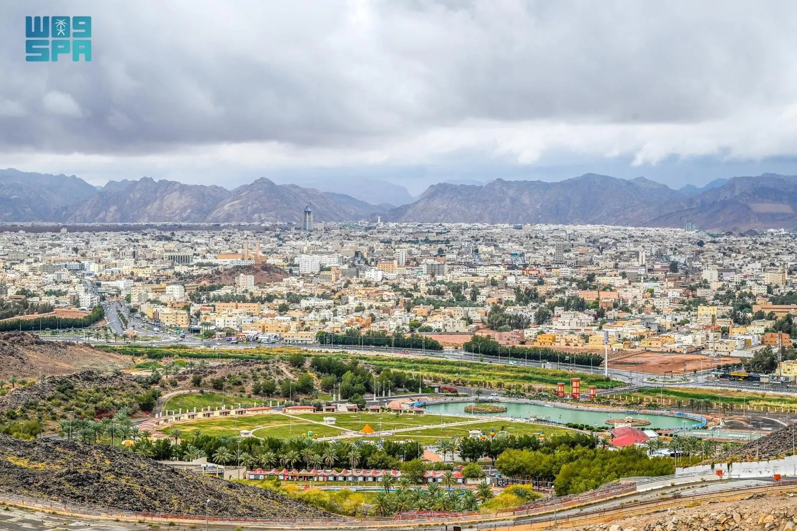 November is Kingdom’s second-wettest month
RIYADH: Saudi Arabia receives an average of 13.29 mm of rainfall in November, making it the Kingdom’s second-wettest month, according to historic data from the National Center for Meteorology. The center’s records from…
-
 Watch: Hail hits UAE, waterfalls formed in mountains during consecutive rainy days
Wed, Oct 21, 2026 | Jumada al-Awwal 9, 1448 | Fajr 05:02|DXB 31.9°C Some parts of the UAE were hit with heavy rains and hail on Wednesday, October 21, as the country goes through a period of continuous wet weather…
-
 Super Typhoon Champi spares Taiwan direct hit, brings heavy rain to Japan and Philippines
Wed, Oct 21, 2026 | Jumada al-Awwal 9, 1448 | Fajr 05:02|DXB 31.8°C Super Typhoon Champi, the most powerful storm so far this year, with peak winds of 296 kph (the equivalent of a Category 5 storm) on Wednesday morning…
- UAE weather tomorrow: Rains expected to continue; dusty winds to blow
Wed, Oct 21, 2026 | Jumada al-Awwal 9, 1448 | Fajr 05:02|DXB 30.1°C The rainy spell is set to continue across the UAE with weather on Wednesday, October 21, expected to be fair to partly cloudy, according to a forecast…
- NCM forecasts widespread rain, heavy thunderstorms across Saudi Arabia through October 28
JEDDAH — Moderate to heavy rainfall and thunderstorms are forecast to affect several regions across Saudi Arabia from Monday, October 19, through Wednesday, October 28, with rainfall of varying intensity expected across…
-
 Sunny, dry fall weather sticks around as rain holds off
Our weather pattern looks pretty tranquil and pleasant for quite some time. High pressure will remain in control through the end of the week and into the weekend with plenty of sunshine, dry conditions and no major…
Sun & moon
Nearby
- Şuwayr 24 km
Forecasts, observations and alerts in the United States come from the National Weather Service (NOAA); radar from NOAA's Multi-Radar Multi-Sensor system; satellite imagery from NASA's Global Imagery Browse Services (GIBS) and NOAA's GOES satellites; the map from the U.S. Geological Survey's National Map; air quality from AirNow (EPA and its partners); hurricane information from the National Hurricane Center; climate normals and records from NOAA's Regional Climate Centers (ACIS). Forecasts outside the United States and the UV index: MET Norway (CC BY 4.0); observations outside the U.S.: airport reports via NOAA's Aviation Weather Center. Place names: GeoNames (CC BY 4.0). Data are copied on a schedule and may lag the sources; for warnings that affect your safety, follow your local National Weather Service office and emergency officials. Weather news is drawn from the 4Search index and reflects what the press published. Terms of use.