Install
Ngetkib, Airai, Palau Weather
Current conditions
Forecast for this hour (no station report in the last two hours)
Forecast
10-day-
Friday
Heavy showers. High 87°. Precipitation 0.11 in for the day.
-
Friday Night
Cloudy. Low 79°. Precipitation 0.11 in for the day.
-
Saturday
Heavy showers. High 86°. Precipitation 0.23 in for the day.
MET Norway forecast updated 1 day ago.
Hourly
Hourly forecast- Now84°0.02
- 4 PM83°0.02
- 5 PM81°<0.01
- 6 PM80°
- 7 PM80°
- 8 PM80°
- 9 PM80°
- 10 PM80°
- 11 PM80°
- Sat12 AM79°
- 1 AM79°
- 2 AM79°
- 3 AM79°
- 4 AM79°
- 5 AM78°
- 6 AM78°
- 7 AM81°<0.01
- 8 AM82°0.01
- 9 AM84°<0.01
- 10 AM85°0.02
- 11 AM86°0.02
- 12 PM86°0.03
- 1 PM85°0.04
- 2 PM85°0.02
Daily forecast
DetailsRadar
Full mapWeather news
More weather news-
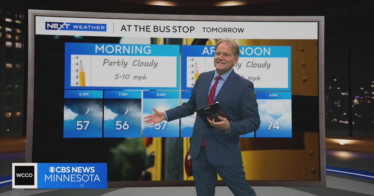 Minnesota sees chances for rain and more seasonable temps soon | Next Weather 10 p.m. Oct. 22, 2026
CBS News Minnesota is a local news organization that is part of CBS News and Stations. Also referred to as WCCO-TV and channel 4, CBS News Minnesota offers local breaking news, weather coverage and investigative…
-
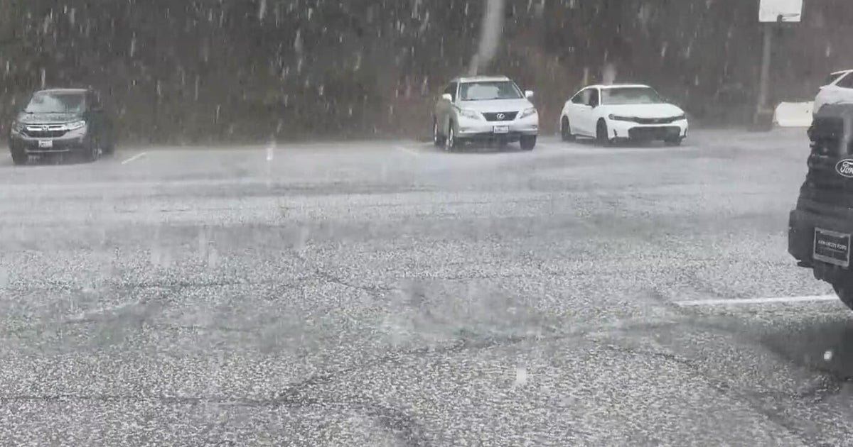 Inland Empire extreme weather for the day included hail in Crestline
October 22, 2026 / 6:05 PM PDT / CBS LA Severe weather, including hail and heavy rain, impacted the Inland Empire, prompting emergency response efforts on Thursday. Intermittent hail, rain, lightning, and wind hit the…
-
 Amber warning in place as Storm Austen hits parts of UK
An amber weather warning has come into force in parts of the UK as Storm Austen brings a swathe of powerful winds and heavy rain on Friday. South West England is forecast to be worst hit by the storm which the Met…
-
 Vermont ski mountains prepare to open as winter weather looms
A ski resort in Colorado unveils preserved snow from last season to provide a rare opportunity for thousands, skiing in October. Chris Miller, the sustainability senior VP at Aspen One, joins FOX Weather to talk about…
-
 Heavy rain warning as Storm Austen sweeps across Scotland
Scotland is braced for a wet and windy weekend as two named storms hit in two days. Storm Austen is the first to sweep across the country, with the Met Office issuing a a yellow warning for rain, external in central and…
-
 Storm Austen to batter Wales coast with 70mph winds
Travel disruption and power cuts are expected when Storm Austen hits Wales. The Met Office said the storm, the first named one of the autumn, will bring a spell of strong winds up to 70mph (112km/h) overnight on…
-
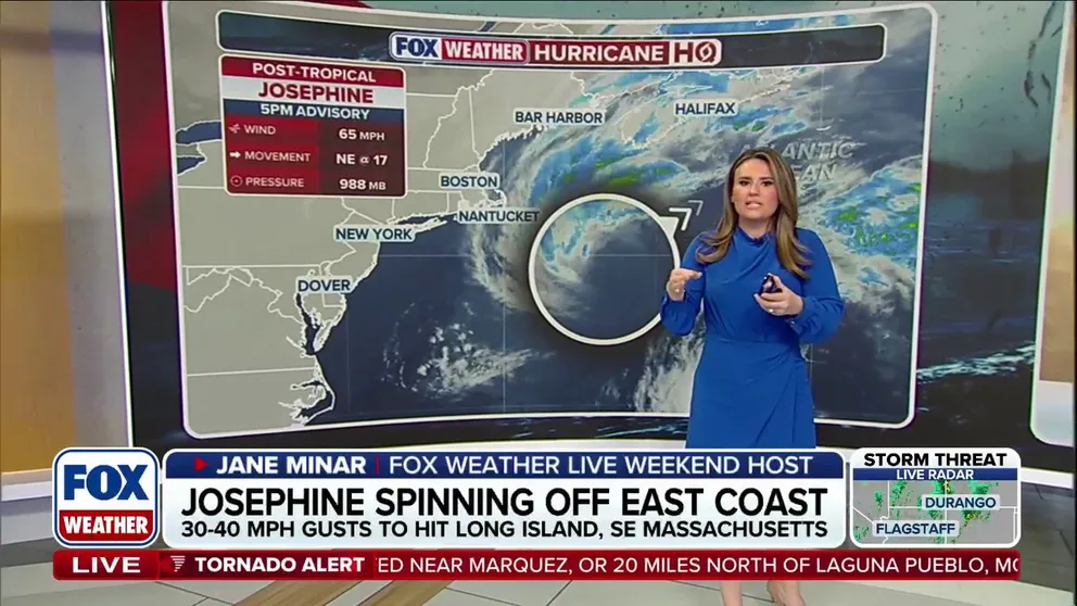 Josephine turns post-tropical as storm races away from the East Coast
FOX Weather Josephine turns post-tropical as storm races away from the East Coast Post-Tropical Cyclone Josephine pulls away from the East Coast while bringing strong winds, coastal flooding, dangerous surf and…
-
 The spooky secret hiding inside Pacific Northwest Glaciers | CNN
Glacier ice worms look like monsters from a horror movie. But they could reveal clues to how life survives in extremes — if they survive human-made warming. An astronaut aboard SpaceX Dragon and a videographer beside a…
-
 First Alert Weather: Mild afternoons before weekend local nor’easter
Here's what the First Alert Weather Team said you can expect in the forecast: This evening will be dry and clear. Tomorrow morning, temperatures will drop to the lower to mid-50s around Jacksonville and upper 60s along…
-
 Flooding rain, severe thunderstorms shift to interior West into Friday
A storm responsible for areas of rain and thunderstorms and severe weather through midweek over the Southwest will focus its efforts farther inland over the western United States into Friday. Published Oct 20, 2026…
Sun & moon
Nearby
- Koror 5 km
- Koror Town 5 km
Forecasts, observations and alerts in the United States come from the National Weather Service (NOAA); radar from NOAA's Multi-Radar Multi-Sensor system; satellite imagery from NASA's Global Imagery Browse Services (GIBS) and NOAA's GOES satellites; the map from the U.S. Geological Survey's National Map; air quality from AirNow (EPA and its partners); hurricane information from the National Hurricane Center; climate normals and records from NOAA's Regional Climate Centers (ACIS). Forecasts outside the United States and the UV index: MET Norway (CC BY 4.0); observations outside the U.S.: airport reports via NOAA's Aviation Weather Center. Place names: GeoNames (CC BY 4.0). Data are copied on a schedule and may lag the sources; for warnings that affect your safety, follow your local National Weather Service office and emergency officials. Weather news is drawn from the 4Search index and reflects what the press published. Terms of use.