Install
Ar Rām wa Ḑāḩiyat al Barīd, West Bank, Palestine Weather
Current conditions
Observed at Tel Aviv/Ben Gurion Arpt · 21 min ago
Forecast
10-day-
Monday Night
Fog. Low 18°.
-
Tuesday
Heavy rain. High 24°. Precipitation 3.4 mm for the day.
-
Tuesday Night
Fog. Low 17°. Precipitation 3.4 mm for the day.
MET Norway forecast updated 54 min ago.
Hourly
Hourly forecast- Now19°
- 21:0018°
- 22:0018°
- 23:0018°
- Tue00:0018°
- 01:0017°
- 02:0018°
- 03:0017°
- 04:0017°
- 05:0017°
- 06:0017°
- 07:0017°
- 08:0020°
- 09:0022°0.2
- 10:0023°0.2
- 11:0024°
- 12:0024°0.7
- 13:0021°0.6
- 14:0021°1.1
- 15:0019°0.6
- 16:0018°
- 17:0018°
- 18:0017°
- 19:0017°
10-day forecast
DetailsRadar
Full mapWeather news near Ar Rām wa Ḑāḩiyat al Barīd
More weather news-
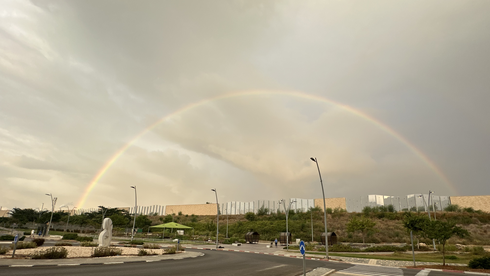 Weather forecast: Rain possible Wednesday, warmer than usual on Thursday
No significant change in the weather is expected Tuesday, with localized rain possible along the coastal plain Wednesday; Warming will be felt later this week, with the weekend already set to be hotter than usual The…
-
 Forecast: Rain gives way to cooler weather, with temperatures set to rise later this week
Temperatures are expected to fall slightly today, while light drizzle may continue along the coastal plain; little change is forecast for Tuesday, but the cooler spell will be short-lived, with temperatures set to rise…
- Cyprus expects up to 70% more rainfall in October–December — Cyprus Mail
In Cyprus, rainfall in October–December could be 20–70% higher than usual, depending on the area of the island. The clearest signal of increased rainfall is expected in October, Cyprus Mail reports, citing Department of…
-
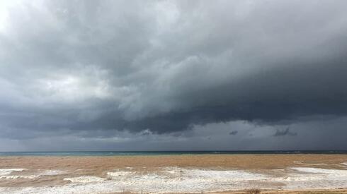 Forecast: Rain continues across Israel as temperatures remain below average
Ynetnews The weather on Sunday will be partly to mostly cloudy, with light, scattered rain expected in northern Israel and along the coastal plain Temperatures will remain below seasonal averages, particularly in…
-
 Kingdom to see mild weather through Monday
Jordan, 18 Other Countries Condemn Colombia’s Opening of Embassy in Jerusalem Amman, Oct. 16 (Petra)-- The Kingdom is expected to experience mild weather across most regions on Friday, while conditions will remain…
-
 Israel's weather takes a wild turn: Stormy weekend ahead
Israel's weather is set to change dramatically, with haze, strong winds, and falling temperatures. Rain and thunderstorms are expected to peak on Friday and continue into Shabbat. On Thursday, skies will be partly…
Sun & moon
Nearby
- Jerusalem 9 km
- Tel Aviv 50 km
- Rishon LeTsiyyon 44 km
- Petaẖ Tiqva 42 km
- Bnei Brak 46 km
- H̱olon 47 km
- Ramat Gan 48 km
- Hebron 38 km
- Reẖovot 40 km
- Nablus 41 km
- Bat Yam 49 km
- Bet Shemesh 26 km
Forecasts, observations and alerts in the United States come from the National Weather Service (NOAA); radar from NOAA's Multi-Radar Multi-Sensor system; satellite imagery from NASA's Global Imagery Browse Services (GIBS) and NOAA's GOES satellites; the map from the U.S. Geological Survey's National Map; air quality from AirNow (EPA and its partners); hurricane information from the National Hurricane Center; climate normals and records from NOAA's Regional Climate Centers (ACIS). Forecasts outside the United States and the UV index: MET Norway (CC BY 4.0); observations outside the U.S.: airport reports via NOAA's Aviation Weather Center. Place names: GeoNames (CC BY 4.0). Data are copied on a schedule and may lag the sources; for warnings that affect your safety, follow your local National Weather Service office and emergency officials. Weather news is drawn from the 4Search index and reflects what the press published. Terms of use. How to use Weather