Install
Santa Isabel, Puerto Rico Weather
Current conditions
Observed at Ponce, Mercedita Airport · 1 hr ago
Forecast
10-day-
Thursday Night
Scattered rain showers before midnight, then a chance of showers and thunderstorms. Mostly cloudy, with a low around 77. East wind 1 to 7 mph. Chance of precipitation is 60%.
-
Friday
Scattered rain showers. Partly sunny, with a high near 90. East wind 6 to 15 mph, with gusts as high as 26 mph. Chance of precipitation is 50%.
-
Friday Night
Scattered rain showers. Mostly cloudy, with a low around 77. East wind 7 to 12 mph. Chance of precipitation is 40%.
National Weather Service forecast updated 3 days ago.
Hourly
Hourly forecast- Now77°60%
- 5 AM77°60%
- 6 AM79°50%
- 7 AM82°50%
- 8 AM84°50%
- 9 AM86°50%
- 10 AM88°50%
- 11 AM89°50%
- 12 PM90°30%
- 1 PM90°30%
- 2 PM90°30%
- 3 PM89°30%
- 4 PM86°30%
- 5 PM84°30%
- 6 PM82°40%
- 7 PM82°40%
- 8 PM81°40%
- 9 PM80°40%
- 10 PM80°40%
- 11 PM79°40%
- Sat12 AM79°40%
- 1 AM78°40%
- 2 AM78°40%
- 3 AM78°40%
10-day forecast
Details- TueOct 20Scattered Rain Showers then Mostly Sunny30%76°90°
- WedOct 21Scattered Rain Showers60%76°90°
- ThuOct 22Chance Showers And Thunderstorms60%77°90°
- TodayOct 23Scattered Rain Showers50%77°90°
- SatOct 24Scattered Rain Showers40%77°90°
- SunOct 25Scattered Rain Showers40%76°90°
- MonOct 26Scattered Rain Showers40%76°90°
- TueOct 27Rain0.08 in71°90°
- WedOct 28Light showers0.07 in73°93°
- ThuOct 29Showers0.08 in73°92°
Days after the National Weather Service's seven are MET Norway's outlook, a computer model with no forecaster's review.
Radar
Full mapWeather news
More weather news-
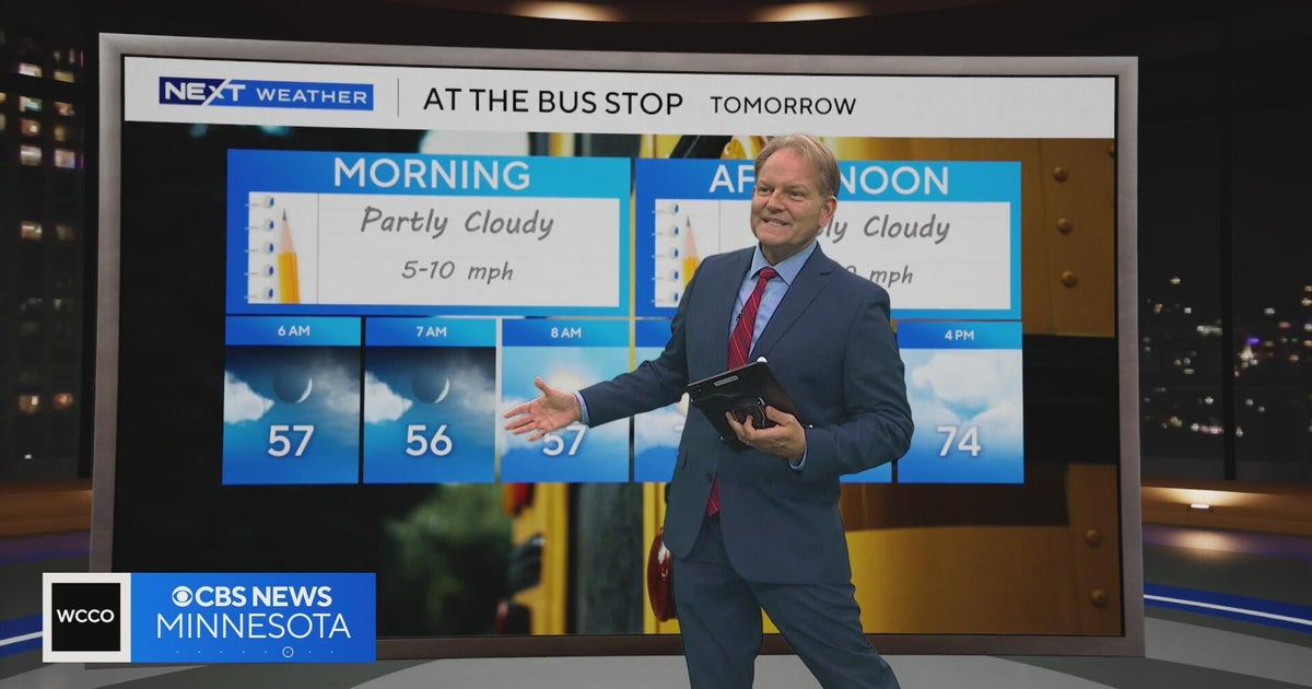 Minnesota sees chances for rain and more seasonable temps soon | Next Weather 10 p.m. Oct. 22, 2026
CBS News Minnesota is a local news organization that is part of CBS News and Stations. Also referred to as WCCO-TV and channel 4, CBS News Minnesota offers local breaking news, weather coverage and investigative…
-
 Slaughden Quay
Tides for Slaughden Quay, East of England - BBC Weather BBC Right now, the tide in Slaughden Quay is Tide tables for the next 7 days For more information, please see FAQs. © Crown copyright and database right
-
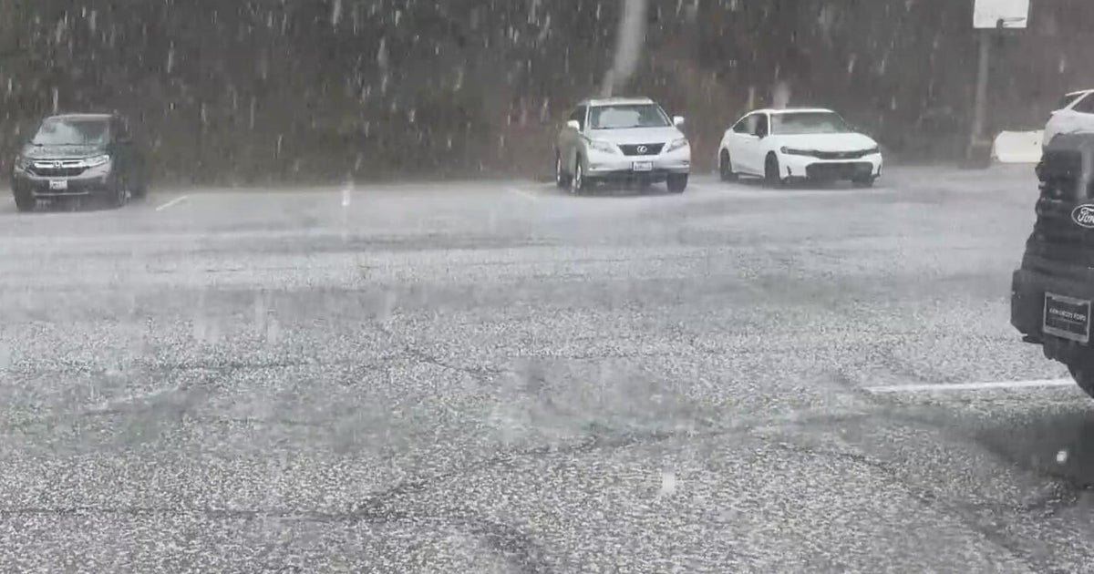 Inland Empire extreme weather for the day included hail in Crestline
October 22, 2026 / 6:05 PM PDT / CBS LA Severe weather, including hail and heavy rain, impacted the Inland Empire, prompting emergency response efforts on Thursday. Intermittent hail, rain, lightning, and wind hit the…
-
 Amber warning in place as Storm Austen hits parts of UK
An amber weather warning has come into force in parts of the UK as Storm Austen brings a swathe of powerful winds and heavy rain on Friday. South West England is forecast to be worst hit by the storm which the Met…
-
 Vermont ski mountains prepare to open as winter weather looms
A ski resort in Colorado unveils preserved snow from last season to provide a rare opportunity for thousands, skiing in October. Chris Miller, the sustainability senior VP at Aspen One, joins FOX Weather to talk about…
-
 Heavy rain warning as Storm Austen sweeps across Scotland
Scotland is braced for a wet and windy weekend as two named storms hit in two days. Storm Austen is the first to sweep across the country, with the Met Office issuing a a yellow warning for rain, external in central and…
-
 Storm Austen to batter Wales coast with 70mph winds
Travel disruption and power cuts are expected when Storm Austen hits Wales. The Met Office said the storm, the first named one of the autumn, will bring a spell of strong winds up to 70mph (112km/h) overnight on…
-
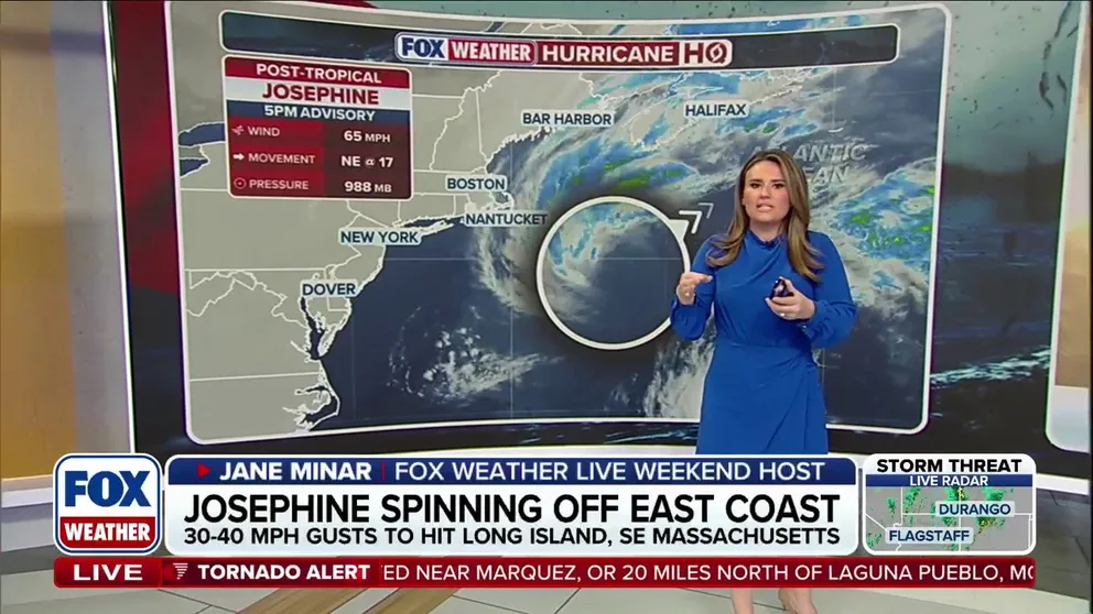 Josephine turns post-tropical as storm races away from the East Coast
FOX Weather Josephine turns post-tropical as storm races away from the East Coast Post-Tropical Cyclone Josephine pulls away from the East Coast while bringing strong winds, coastal flooding, dangerous surf and…
-
 The spooky secret hiding inside Pacific Northwest Glaciers | CNN
Glacier ice worms look like monsters from a horror movie. But they could reveal clues to how life survives in extremes — if they survive human-made warming. An astronaut aboard SpaceX Dragon and a videographer beside a…
-
 First Alert Weather: Mild afternoons before weekend local nor’easter
Here's what the First Alert Weather Team said you can expect in the forecast: This evening will be dry and clear. Tomorrow morning, temperatures will drop to the lower to mid-50s around Jacksonville and upper 60s along…
Air quality
Air quality is satisfactory, and air pollution poses little or no risk.
Catano, PR reporting area · 2 hrs ago. Data from AirNow (EPA and its state, local and tribal partners); preliminary and subject to change.
Sun & moon
Almanac
MonthlyPonce 4 E, records since 1898. Normals 1991–2020. Data from NOAA's Regional Climate Centers (ACIS).
Nearby
Forecasters' discussion
From the National Weather Service office in SJU, issued 14 hrs ago
Key Messages
Issued at 158 PM AST Thu Oct 22 2026
- Seasonal to above-normal tropical moisture, combined with a southeasterly flow, will maintain a wetter pattern from this afternoon through Saturday. Heavy downpours may cause urban and small-stream flooding, rapid rises in river levels, and isolated flash flooding.
- This afternoon, the interior, north-central, and northwestern portions of Puerto Rico have the greatest potential for rainfall. Tonight, showers and thunderstorms are likely across the Caribbean waters and Mona Passage, with some activity potentially moving into southern and western Puerto Rico overnight.
- A northerly swell is expected to arrive late tonight into Friday, resulting in a high risk of rip currents along north- facing beaches beginning tomorrow and potentially continuing into early next week.
- Warm and humid conditions will persist, particularly during periods of sunshine. Heat impacts may become more pronounced early next week, especially along the coasts, in low-lying areas, interior valleys, and urban areas.
Aviation
(18Z TAFS) Issued at 158 PM AST Thu Oct 22 2026
Mainly VFR conds expected across PR and USVI terminals thru the evening, with ISOLD SHRA, resulting in VCSH mainly at TJBQ/TJSJ. Increasing moisture will favor more frequent SHRA/TSRA mainly across TJPS aft 23/03Z, with PROB30 TSRA and MVFR/IFR conds thru 23/14Z. Sfc winds mainly S-SE at 5-10 kt, bcmg L/V overnight, then 10-12 kt with higher gusts and sea-breeze variations.
Marine
Issued at 158 PM AST Thu Oct 22 2026
Light to gentle southeasterly winds will become east to southeast and increase from gentle to locally fresh Friday into the weekend as the pressure gradient tightens. A north-northwesterly swell is expected to arrive late tonight into early Friday, followed by additional pulses through the weekend. Seas will build to 5 to 6 feet across portions of the Atlantic waters and Mona Passage. Small craft operators should exercise caution. More frequent showers and thunderstorms, including nighttime activity, will bring lightning, gusty winds, reduced visibility, and locally higher seas.
Beach Forecast
Issued at 158 PM AST Thu Oct 22 2026
A northwesterly swell is expected to arrive late tonight into Friday, bringing back a high risk of rip currents along north- facing beaches of Puerto Rico, Culebra, and northern U.S. Virgin Islands. Hazardous swimming and beach conditions with breaking waves of around 6 to 7 feet are forecast. Additional swell pulses will likely maintain the high risk through the weekend and into early next week. Beachgoers are strongly urged to avoid entering the water at beaches under a high rip current risk. Heed all beach signs and instructions from lifeguards and local authorities. Also, shower and thunderstorm activity will bring lightning and gusty winds to coastal areas. If thunderstorms approach, leave the beach immediately and seek shelter.
Forecasts, observations and alerts in the United States come from the National Weather Service (NOAA); radar from NOAA's Multi-Radar Multi-Sensor system; satellite imagery from NASA's Global Imagery Browse Services (GIBS) and NOAA's GOES satellites; the map from the U.S. Geological Survey's National Map; air quality from AirNow (EPA and its partners); hurricane information from the National Hurricane Center; climate normals and records from NOAA's Regional Climate Centers (ACIS). Forecasts outside the United States and the UV index: MET Norway (CC BY 4.0); observations outside the U.S.: airport reports via NOAA's Aviation Weather Center. Place names: GeoNames (CC BY 4.0). Data are copied on a schedule and may lag the sources; for warnings that affect your safety, follow your local National Weather Service office and emergency officials. Weather news is drawn from the 4Search index and reflects what the press published. Terms of use.