Install
San Antonio, Puerto Rico Weather
Current conditions
Forecast for this hour (no station report in the last two hours)
Forecast
10-day-
Sunday Night
Isolated rain showers. Partly cloudy, with a low around 73. East southeast wind around 3 mph.
-
Monday
A chance of showers and thunderstorms after noon. Mostly sunny, with a high near 89. Northeast wind around 5 mph. Chance of precipitation is 70%.
-
Monday Night
Isolated rain showers. Partly cloudy, with a low around 73.
National Weather Service forecast updated 3 days ago.
Hourly
Hourly forecast- Now79°20%
- 8 PM78°20%
- 9 PM77°20%
- 10 PM76°20%
- 11 PM76°20%
- Mon12 AM75°20%
- 1 AM75°20%
- 2 AM74°20%
- 3 AM74°20%
- 4 AM73°20%
- 5 AM73°20%
- 6 AM76°
- 7 AM79°
- 8 AM82°
- 9 AM84°
- 10 AM86°
- 11 AM88°
- 12 PM89°70%
- 1 PM89°70%
- 2 PM89°70%
- 3 PM88°70%
- 4 PM84°70%
- 5 PM81°70%
- 6 PM80°20%
10-day forecast
Details- ThuOct 22Showers And Thunderstorms100%73°89°
- FriOct 23Showers And Thunderstorms100%74°89°
- SatOct 24Showers And Thunderstorms90%74°89°
- TodayOct 25Chance Showers And Thunderstorms70%73°89°
- MonOct 26Mostly Sunny then Chance Showers And Thunderstorms70%73°89°
- TueOct 27Scattered Rain Showers40%72°89°
- WedOct 28Isolated Rain Showers20%73°89°
- ThuOct 29Mostly sunny0.03 in76°84°
- FriOct 30Light showers0.04 in76°84°
- SatOct 31Light showers0.19 in76°84°
Days after the National Weather Service's seven are MET Norway's outlook, a computer model with no forecaster's review.
Radar
Full mapWeather news near San Antonio
More weather news- San Antonio Weather Swings From Crisp Mornings To Summer Heat
The National Weather Service's Austin/San Antonio office says Tuesday will be sunny and warmer, with a high near 84, and the rest of the workweek keeps climbing. That marks a modest update from Hoodline's earlier…
-
 NWS: Here's when Central Texas will finally cool down for the year
A cold front hit Texas last weekend, bringing a boon for those San Antonio temperatures that make fall feel more like summer part two. But when can residents in South Central Texas expect for the weather to actually…
-
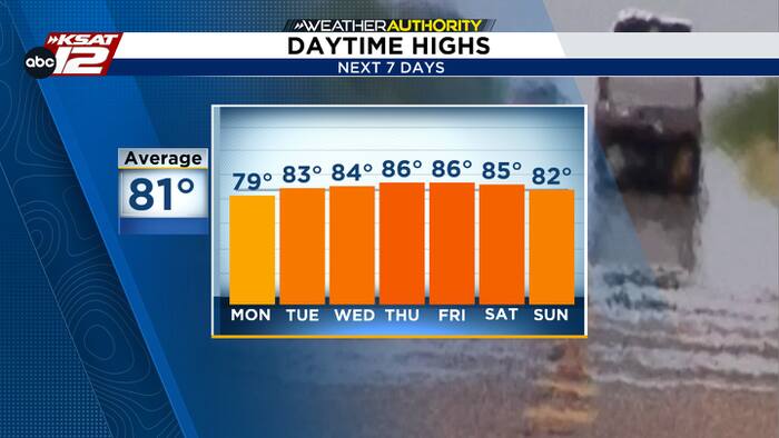 Cool mornings, warm afternoons
The latest in news, weather and sports for San Antonio and Central and South Texas. Justin Horne, KSAT Weather Authority Meteorologist Air Force identifies service member who died after fall during UTSA pregame ceremony…
-
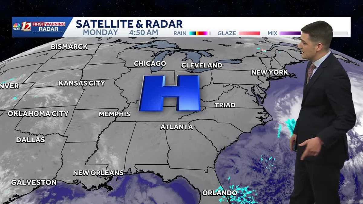 Cold Monday morning sets the stage for a beautiful, sunny stretch of weather
Meteorologist Dylan Hudler has your Monday forecast Cold Monday morning sets the stage for a beautiful, sunny stretch of weather Meteorologist Dylan Hudler has your Monday forecast Cold mornings will lead to seasonable…
-
 Old Farmer's Almanac predicts warm Thanksgiving, rain chances for South Texas
If you were hoping to pull out the cute winter boots and Fall-inspired sweaters this Thanksgiving holiday, you may be disappointed. The Old Farmer's Almanac has released its long-range forecast for Thanksgiving 2026…
-
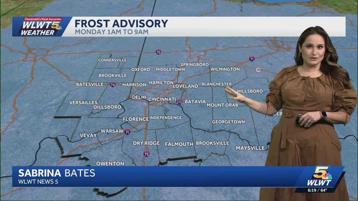 Fall weather sticking around Cincinnati
WLWT Fall weather sticking around Cincinnati Meteorologist Sabrina Bates says that the fall weather is sticking around Greater Cincinnati this week. Lifestyle influencer shares new details on 4-year-old son's death…
-
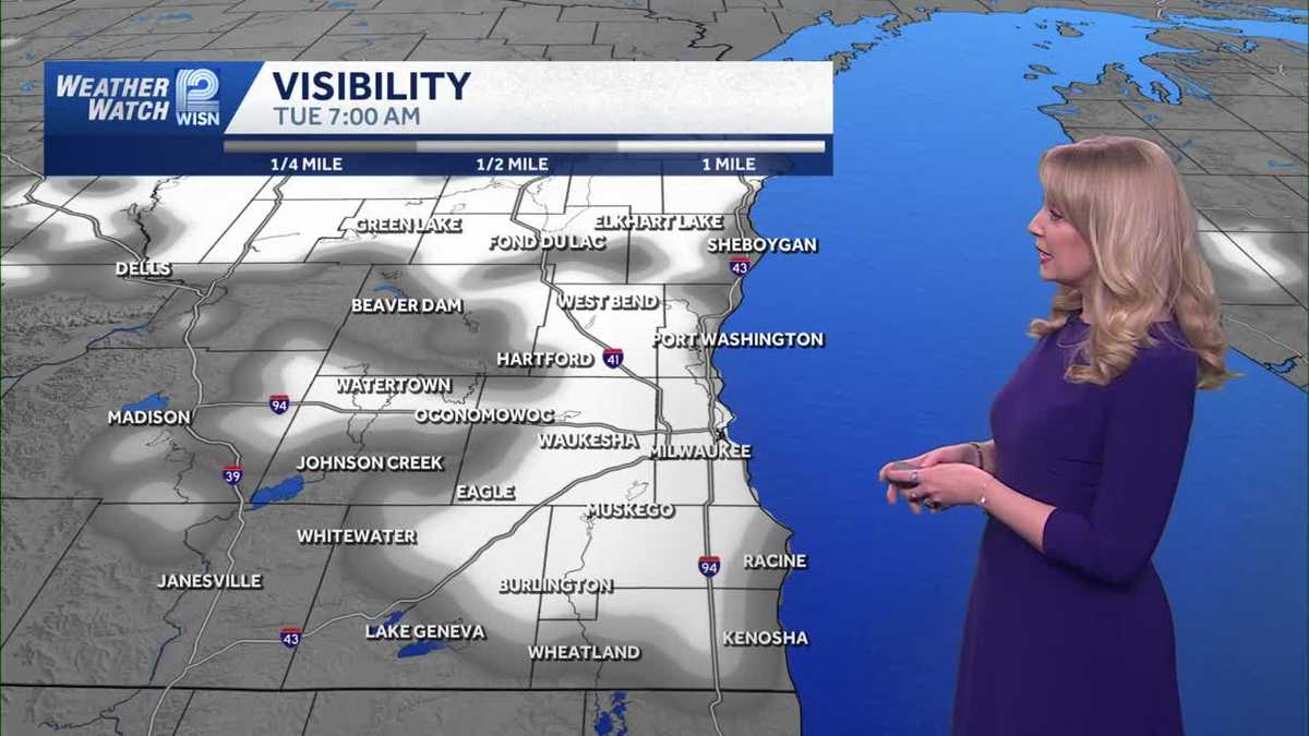 Mostly sunny and mild Monday in SE Wisconsin
WISN Mostly sunny and mild Monday in SE Wisconsin Overnight temperatures will be chilly with lows in the upper 30s to mid 40s. Monday will be mostly sunny with highs in the mid 60s. Lifestyle influencer shares new…
-
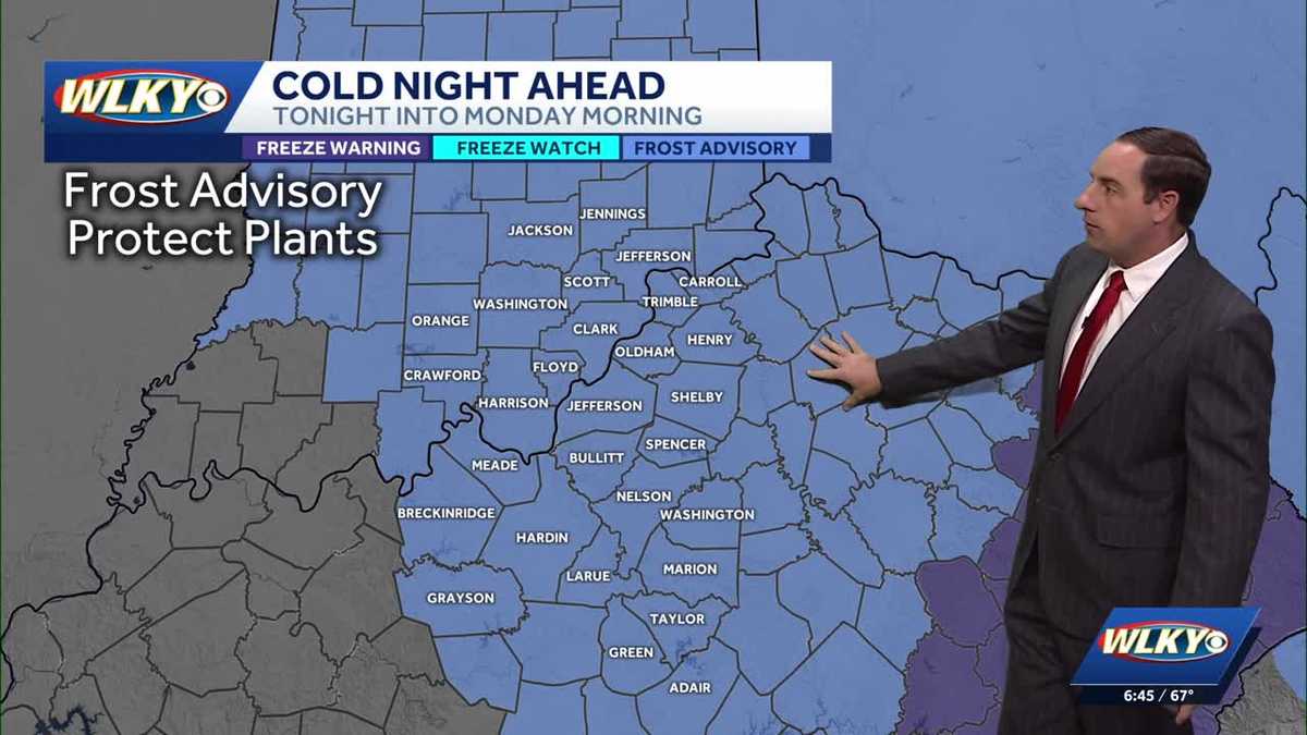 Another frost advisory tonight into Monday morning
WLKY Another frost advisory tonight into Monday morning WLKY meteorologist Eric Zernich's Sunday evening forecast Lifestyle influencer shares new details on 4-year-old son's death Nellis Air Force Base: Service member…
-
 Mild and warm next week.
KTEN Here is your Sunday evening forecast from Meteorologist Parker Schroeder. - âYou Can See Everythingâ becomes one of the biggest documentary releases in decades - Brenham ISD Board to discuss bond program…
-
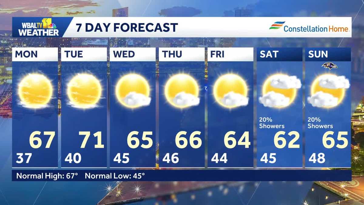 Nice weather for the start of the work week
WBAL-TV Nice weather for the start of the work week Good idea to cover or bring in any plants that are sensitive to the cold again tonight. Frost is possible in areas away from the water and the city. The weather will…
Sun & moon
Almanac
MonthlyColoso, records since 1899. Normals 1991–2020. Data from NOAA's Regional Climate Centers (ACIS).
Nearby
- Arecibo 40 km
- Mayagüez 33 km
- Barceloneta 59 km
- Yauco 57 km
- Aguadilla 9 km
- Isabela 8 km
- San Germán 46 km
- Hormigueros 39 km
- San Sebastián 21 km
- Cabo Rojo 45 km
- Utuado 49 km
- Sabana Grande 48 km
Forecasters' discussion
From the National Weather Service office in SJU, issued 5 hrs ago
Key Messages
Issued at 155 PM AST Sun Oct 25 2026
- A Heat Advisory remains in effect until 5 PM AST this afternoon for Puerto Rico and the U.S. Virgin Islands. Hot and humid conditions will increase the risk of heat-related illnesses, especially across urban and low-lying areas or with prolonged outdoor activity.
- Life-threatening rip currents will impact exposed northern, northwestern, and eastern beaches of Puerto Rico and Culebra, where a High Rip Current Risk remains in effect through Tuesday afternoon. A moderate rip current risk persists for Vieques and the U.S. Virgin Islands.
- Relatively drier conditions will persist across Puerto Rico and the U.S. Virgin Islands over the next few days. However, pockets of low- level moisture will produce passing showers, primarily over southern and southeastern Puerto Rico during the afternoon and overnight hours.
Aviation
(18Z TAFS) Issued at 155 PM AST Sun Oct 25 2026
Mainly VFR conditions thru the forecast period. Afternoon shallow convection may produce brief MVFR conditions and mountain obs across TJBQ. Additional VCSH & SHRA will affect southern and eastern terminals tonight into early Monday. SE winds around 10 to 15 kt will prevail, with sea breeze variations and gusts up to 20 kt, becoming 10 kt or less overnight.
Marine
Issued at 155 PM AST Sun Oct 25 2026
Surface high pressure across the central Atlantic will maintain moderate to locally fresh southeasterly winds across the region through at least Tuesday. Choppy seas will persist across the Atlantic waters and the Mona Passage through the next few days. A long-period northerly swell will spread across the Atlantic waters and local passages by Monday, building seas up to around 7 feet and maintaining hazardous marine conditions through at least Tuesday.
Beach Forecast
Issued at 155 PM AST Sun Oct 25 2026
A combination of a subsiding northerly swell and additional long-period northerly swell pulses will generate life-threatening rip currents along north-facing beaches of Puerto Rico and Culebra through mid-week. Consequently, a High Rip Current Risk remains in effect for the northern, western, and eastern beaches of Puerto Rico and Culebra through at least Tuesday night. Beachgoers are strongly urged to stay out of the water in these areas. Always heed posted alerts, flags, and instructions from lifeguards and local officials.
Forecasts, observations and alerts in the United States come from the National Weather Service (NOAA); radar from NOAA's Multi-Radar Multi-Sensor system; satellite imagery from NASA's Global Imagery Browse Services (GIBS) and NOAA's GOES satellites; the map from the U.S. Geological Survey's National Map; air quality from AirNow (EPA and its partners); hurricane information from the National Hurricane Center; climate normals and records from NOAA's Regional Climate Centers (ACIS). Forecasts outside the United States and the UV index: MET Norway (CC BY 4.0); observations outside the U.S.: airport reports via NOAA's Aviation Weather Center. Place names: GeoNames (CC BY 4.0). Data are copied on a schedule and may lag the sources; for warnings that affect your safety, follow your local National Weather Service office and emergency officials. Weather news is drawn from the 4Search index and reflects what the press published. Terms of use. How to use Weather