Install
Palomas, Puerto Rico Weather
Current conditions
Observed at Aquadilla, Rafael Hernandez Airport · 47 min ago
Forecast
10-day-
Today
Isolated rain showers. Mostly sunny. High near 92, with temperatures falling to around 83 in the afternoon. Southeast wind 6 to 10 mph.
-
Tonight
Scattered rain showers between 9pm and 3am. Partly cloudy, with a low around 74. East wind around 6 mph. Chance of precipitation is 30%.
-
Wednesday
Isolated rain showers between 9am and 3pm. Mostly sunny. High near 92, with temperatures falling to around 84 in the afternoon. East southeast wind 6 to 12 mph. Chance of precipitation is 20%.
National Weather Service forecast updated 3 hrs ago.
Hourly
Hourly forecast- Now91°0.01
- 1 PM92°0.01
- 2 PM92°0.01
- 3 PM90°10%
- 4 PM86°10%
- 5 PM83°10%
- 6 PM81°0.01
- 7 PM80°0.01
- 8 PM79°0.01
- 9 PM79°30%
- 10 PM78°30%
- 11 PM77°30%
- Wed12 AM77°10%
- 1 AM76°10%
- 2 AM75°10%
- 3 AM75°
- 4 AM74°
- 5 AM74°
- 6 AM77°
- 7 AM81°
- 8 AM84°
- 9 AM87°20%
- 10 AM89°20%
- 11 AM91°20%
10-day forecast
Details- TodayOct 20Isolated Rain Showers30%74°92°
- WedOct 21Isolated Rain Showers60%75°92°
- ThuOct 22Chance Showers And Thunderstorms60%75°92°
- FriOct 23Scattered Rain Showers30%76°92°
- SatOct 24Scattered Rain Showers40%75°92°
- SunOct 25Scattered Rain Showers40%74°92°
- MonOct 26Scattered Showers And Thunderstorms50%74°92°
- TueOct 27Rain0.13 in72°87°
- WedOct 28Showers0.10 in73°88°
- ThuOct 29Light showers0.02 in71°89°
Days after the National Weather Service's seven are MET Norway's outlook, a computer model with no forecaster's review.
Radar
Full mapWeather news near Palomas
More weather news-
 Powerful Pacific Storms Amid 'Super' El Niño
O’NEILL: From PRX and the Jennifer and Ted Stanley Studios at the University of Massachusetts Boston, this is Living on Earth. I’m Aynsley O’Neill. BELTRAN: And I’m Paloma Beltran. The above graphic shows global weather…
-
 Minnesota weather stays unusually warm, with highs 15 to 20 degrees above normal | Oct. 20, 2026
CBS News Minnesota weather stays unusually warm, with highs 15 to 20 degrees above normal | Oct. 20, 2026 Preview: Golf 101 at Park 365 in Roseville Twin Cities man, 18, accused in MOA terror plot, and more headlines…
-
 Tuesday morning First Alert weather forecast with Jessica Burch - 10/20/26
CBS News Bay Area is a local news organization that is part of CBS News and Stations. Also referred to as KPIX-TV and channel 5, CBS News Bay Area offers local breaking news, weather coverage and investigative…
-
 Powerful nor’easter churning up the East Coast
A powerful nor’easter is churning up the East Coast and is on track to bring several days of heavy rain, flooding and strong winds. The storm is expected to stay far enough offshore that the heaviest rain will likely…
-
 Great weather in North Texas this week
CBS News Baltimore 8am CBS News Boston 8am CBS News Chicago 7am CBS News Colorado This Morning 6am CBS News Los Angeles Mornings 5am CBS News Miami 8am CBS News New York 8am CBS News Texas 7am
-
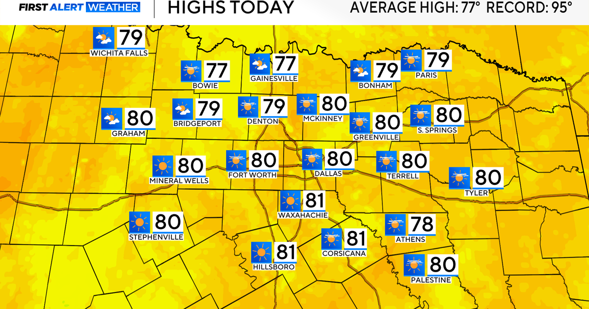 Temperatures climb into 80s as rain chances remain slim across North Texas
Updated on: October 20, 2026 / 7:28 AM CDT / CBS Texas It's another crisp fall morning, Tuesday, with temperatures in the 40s and 50s across North Texas. Have the light jacket handy and grab your sunglasses for the…
-
 More sunny, mild late October weather in Minnesota | Oct. 20, 2026
CBS News Baltimore 8am CBS News Boston 8am CBS News Chicago 7am CBS News Colorado This Morning 6am CBS News Los Angeles Mornings 5am CBS News Miami 8am CBS News New York 8am CBS News Texas 7am
-
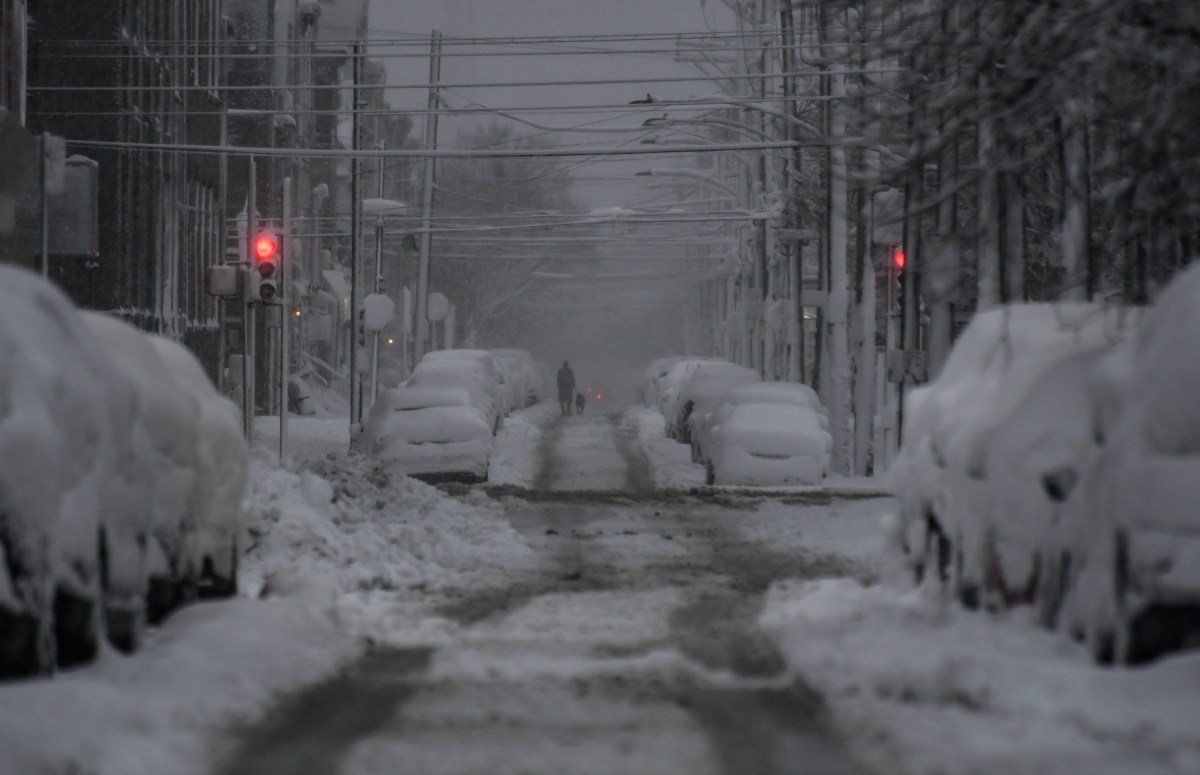 How US Winter Snow Forecasts Compare as El Niño Strengthens
Oct 20, 2026 at 08:00 AM EDT Winter snow forecasts are painting a mixed picture across the United States, as forecasters expect a strengthening El Niño to influence the upcoming season. While AccuWeather expects…
-
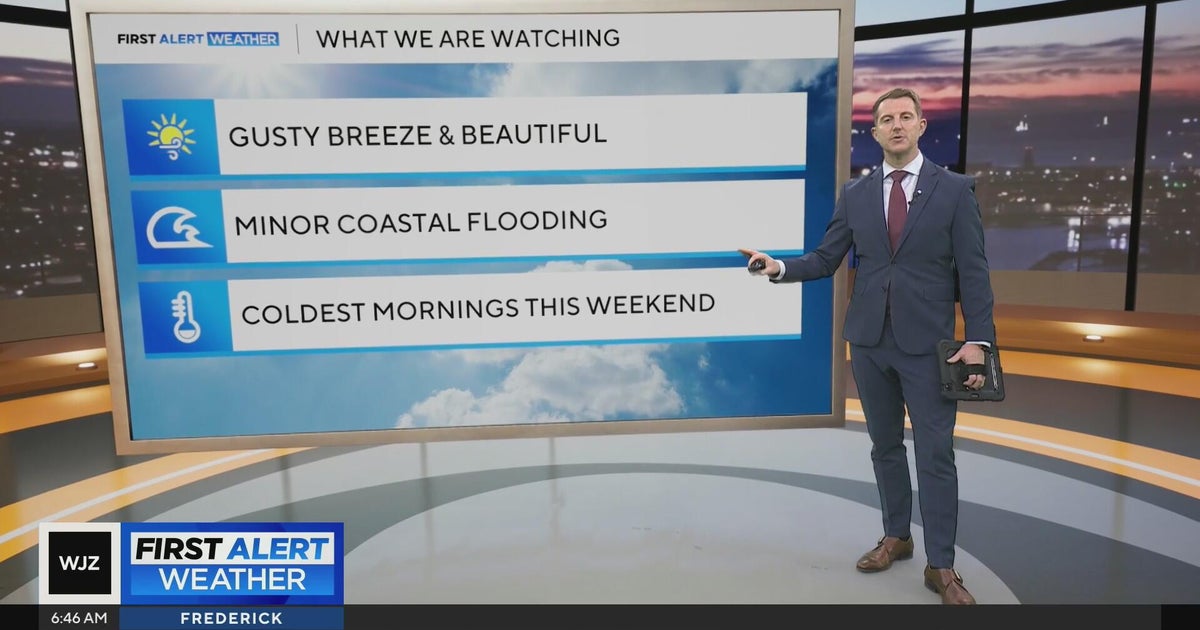 Beautiful stretch of weather in Maryland this week
CBS News Beautiful stretch of weather in Maryland this week Baltimore police investigate reported shooting along Belair Road Cool, nice, breezy weather continues in Maryland 1 killed in triple shooting near NW Baltimore…
-
 Strong winds could damage trees and disrupt travel
Storm Goretti brought trees down across the island earlier this year Forecasters have warned that severe weather this week could bring tree branches down and disrupt travel. Jersey Met, external has forecast that winds…
Sun & moon
Nearby
- Ponce 26 km
- Arecibo 54 km
- Mayagüez 35 km
- Yauco 3 km
- Aguadilla 55 km
- Isabela 56 km
- San Germán 20 km
- Coamo 55 km
- Hormigueros 30 km
- San Sebastián 38 km
- Cabo Rojo 30 km
- Utuado 33 km
Forecasters' discussion
From the National Weather Service office in SJU, issued 10 hrs ago
Key Messages
Issued at 145 AM AST Tue Oct 20 2026
* Dangerous surf, hazardous seas, and life-threatening rip currents will affect the Atlantic waters, exposed passages, and north-facing beaches of Puerto Rico, Culebra, and the northern U.S. Virgin Islands through Wednesday, with conditions gradually improving thereafter.
* Afternoon thunderstorms may produce lightning, locally heavy rainfall, and urban or small-stream flooding across northern Puerto Rico today. Activity should decrease Wednesday before a surge of tropical moisture brings more widespread showers and renewed flooding concerns Thursday into the weekend.
* Wednesday will likely be the warmest day of the period, with heat primarily affecting individuals extremely sensitive to heat, especially those outdoors without effective cooling or adequate hydration.
Aviation
(06Z TAFS) Issued at 145 AM AST Tue Oct 20 2026
Passing SHRA may produce brief MVFR cigs/vsbys across USVI terminals and TJSJ through 20/13-14Z. Aftn SHRA/TSRA may bring MVFR/IFR conds to TJSJ after 20/15-16Z and TJBQ after 20/16-17Z, mainly due to reduced vsbys in heavier SHRA/TSRA and locally low cigs. VCTS also possible near TJPS and USVI terminals, with activity diminishing after 20/22Z. Sfc winds light/VRB overnight, becoming ESE-SE at 5-10 kt after 20/13Z, with sea breeze variations and locally gusty winds near TSRA.
Marine
Issued at 145 AM AST Tue Oct 20 2026
A weak pressure gradient between a frontal boundary over the western Atlantic and high pressure to the east will maintain gentle to moderate east to southeast winds through midweek. Despite the relatively light winds, a significant long-period north-northwesterly swell is expected to peak today before becoming more northerly Wednesday. Seas near 6 feet across the Atlantic waters and exposed passages will warrant caution for small craft operators, with conditions gradually improving as the swell subsides. Meanwhile, increasing tropical moisture Thursday into the weekend may favor more widespread showers and thunderstorms, potentially bringing lightning, locally gusty winds, and reduced visibility over the waters.
Beach Forecast
Issued at 145 AM AST Tue Oct 20 2026
A significant long-period north-northwesterly swell is expected to peak today, with breaking waves of 8 to 12 feet possible along exposed northern and northwestern beaches of Puerto Rico, from Rincon to Fajardo. A High Surf Advisory remains in effect through 6 PM AST this evening, with dangerous swimming conditions and possible localized beach and dune erosion. High tide around 3 to 4 PM AST, reaching approximately 1.5 feet along northern Puerto Rico, Vieques, and Culebra, may enhance wave runup and localized beach erosion along exposed shorelines. Large waves may also wash over exposed rocks and jetties.
A High Rip Current Risk will continue through Wednesday afternoon along these beaches and the north-facing beaches of Culebra. The risk is also expected to increase to high along the north-facing beaches of St. Thomas, St. John, and adjacent islands beginning this evening through Wednesday afternoon. Although surf heights should gradually decrease Wednesday as the swell becomes more northerly and subsides, life-threatening rip currents will remain a concern.
Beachgoers should remain out of the water at affected beaches and away from exposed rocks and jetties. Improving surf conditions later in the week may be accompanied by increasing showers and thunderstorms, potentially bringing lightning and gusty winds to coastal areas. Seek shelter in a substantial building or enclosed vehicle when thunder is heard. For additional information, refer to the latest Coastal Hazard Message (CFWSJU).
Forecasts, observations and alerts in the United States come from the National Weather Service (NOAA); radar from NOAA's Multi-Radar Multi-Sensor system; satellite imagery from NASA's Global Imagery Browse Services (GIBS) and NOAA's GOES satellites; the map from the U.S. Geological Survey's National Map; air quality from AirNow (EPA and its partners); hurricane information from the National Hurricane Center; climate normals and records from NOAA's Regional Climate Centers (ACIS). Forecasts outside the United States and the UV index: MET Norway (CC BY 4.0); observations outside the U.S.: airport reports via NOAA's Aviation Weather Center. Place names: GeoNames (CC BY 4.0). Data are copied on a schedule and may lag the sources; for warnings that affect your safety, follow your local National Weather Service office and emergency officials. Weather news is drawn from the 4Search index and reflects what the press published. Terms of use.