Install
Tigbaw, Bicol Region, Philippines Weather
Current conditions
Forecast for this hour (no station report in the last two hours)
Forecast
10-day-
Friday
Heavy rain. High 30°. Precipitation 17.3 mm for the day.
-
Friday Night
Heavy rain. Low 27°. Precipitation 17.3 mm for the day.
-
Saturday
Heavy rain. High 29°. Precipitation 29.0 mm for the day.
MET Norway forecast updated 1 day ago.
Hourly
Hourly forecast- Now29°
- 01:0028°
- 02:0028°0.4
- 03:0028°0.8
- 04:0028°0.3
- 05:0028°0.2
- 06:0029°0.2
- 07:0029°0.7
- 08:0029°
- 09:0029°0.5
- 10:0029°0.2
- 11:0030°0.7
- 12:0030°0.6
- 13:0029°4.9
- 14:0027°0.6
- 15:0028°0.2
- 16:0028°2.8
- 17:0028°0.9
- 18:0028°0.5
- 19:0028°0.7
- 20:0029°
- 21:0029°1.1
- 22:0028°0.5
- 23:0029°0.3
Daily forecast
DetailsRadar
Full mapWeather news in Philippines
More weather news-
 Super Typhoon Champi spares Taiwan direct hit, brings heavy rain to Japan and Philippines
Wed, Oct 21, 2026 | Jumada al-Awwal 9, 1448 | Fajr 05:02|DXB 31.8°C Super Typhoon Champi, the most powerful storm so far this year, with peak winds of 296 kph (the equivalent of a Category 5 storm) on Wednesday morning…
- Super Typhoon Champi becomes the strongest tropical cyclone of 2026, Signal No. 2 remains over Batanes, Philippines
Satellite image of Super Typhoon Champi at 12:10 UTC on October 21, 2026. Credit: JMA/Himawari-9, RAMMB/CIRA, The Watchers The Philippine Atmospheric, Geophysical and Astronomical Services Administration (PAGASA)…
-
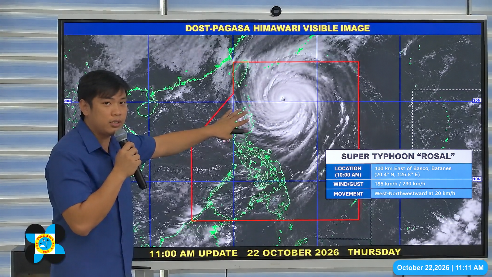 World’s Strongest Storm of 2026: Super Typhoon Rosal Targets Batanes With 184 mph Winds
Super Typhoon Rosal — known internationally as Champi — was bearing down on the Philippines' northernmost islands on Wednesday after achieving the highest wind speeds of any tropical cyclone on Earth in 2026, making it…
-
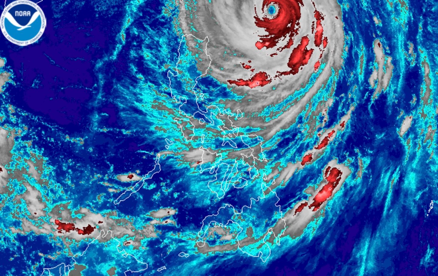 Intense rain possible in Batanes even as Super Typhoon Rosal weakens further
ROSAL. Satellite image of Super Typhoon Rosal (Champi) as of October 22, 2026, 4 am. MANILA, Philippines – Super Typhoon Rosal (Champi) weakened further while moving east of Batanes before dawn on Thursday, October 22…
-
 See Super Typhoon Champi’s giant eye as it swirls across the Pacific
The Washington Post At one point Wednesday, the eye was wider than the state of Rhode Island. Super Typhoon Champi is a pageant of power, a Category 5-equivalent beast that as of Wednesday morning Eastern was swirling…
-
 2 areas under signal No. 2 as super typhoon Rosal moves northwestward | ABS-CBN News
Two areas are now under wind signal No. 2 as Super Typhoon Rosal (international name: Champi) continues to move northwestward while over the sea east of extreme northern Luzon. 2 areas under signal No. 2 as super…
-
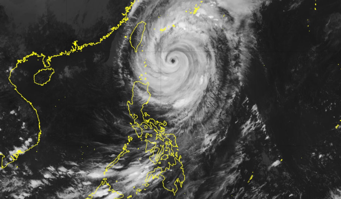 Rosal downgraded to typhoon east of Batanes
ROSAL. Satellite image of Typhoon Rosal (Champi) as of October 22, 2026, 4 pm. MANILA, Philippines – Rosal (Champi) weakened from a super typhoon into a typhoon on Thursday afternoon, October 22, but rainfall and wind…
- Dumaguete City Weather
Weather forecast and conditions for Dumaguete City, Negros Oriental, Philippines The Weather Channel Dumaguete City, Negros Oriental, Philippines Dumaguete City Daily Forecast
-
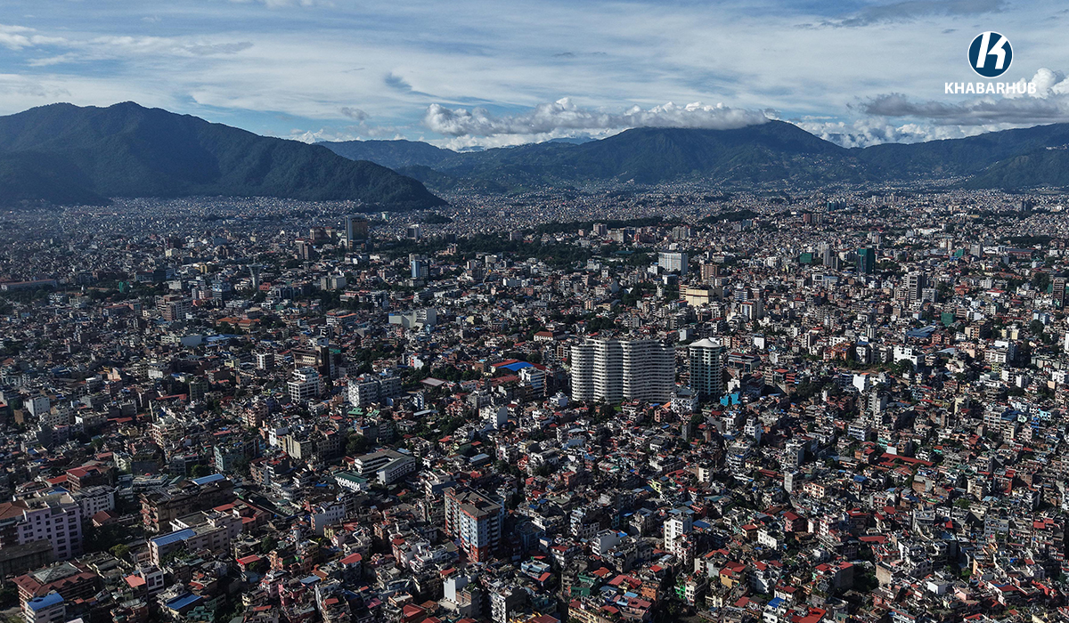 Kathmandu Valley’s minimum temperature drops to 13.5°C
KATHMANDU: Kathmandu Valley’s initial minimum temperature fell to 13.5 degrees Celsius on Thursday morning, down from 14.2 degrees Celsius recorded at the same time a day earlier, according to the Weather Forecasting…
-
 IMD update: Very heavy rain alert for TN, Puducherry extended to 4 more days
Wednesday’s low-pressure area over the south-west Bay of Bengal, off the Tamil Nadu coast, edged closer to land, with its western flank brushing the coast early on Thursday. The system is helping anchor the north-east…
Sun & moon
Nearby
Forecasts, observations and alerts in the United States come from the National Weather Service (NOAA); radar from NOAA's Multi-Radar Multi-Sensor system; satellite imagery from NASA's Global Imagery Browse Services (GIBS) and NOAA's GOES satellites; the map from the U.S. Geological Survey's National Map; air quality from AirNow (EPA and its partners); hurricane information from the National Hurricane Center; climate normals and records from NOAA's Regional Climate Centers (ACIS). Forecasts outside the United States and the UV index: MET Norway (CC BY 4.0); observations outside the U.S.: airport reports via NOAA's Aviation Weather Center. Place names: GeoNames (CC BY 4.0). Data are copied on a schedule and may lag the sources; for warnings that affect your safety, follow your local National Weather Service office and emergency officials. Weather news is drawn from the 4Search index and reflects what the press published. Terms of use.