Install
Tairan Camp, Autonomous Region in Muslim Mindanao, Philippines Weather
Current conditions
Forecast for this hour (no station report in the last two hours)
Forecast
10-day-
Saturday
Light showers. High 29°. Precipitation 0.4 mm for the day.
-
Saturday Night
Cloudy. Low 28°. Precipitation 0.4 mm for the day.
-
Sunday
Heavy rain. High 30°. Precipitation 4.1 mm for the day.
MET Norway forecast updated 12 hrs ago.
Hourly
Hourly forecast- Now28°
- 23:0028°
- Sun00:0028°
- 01:0028°
- 02:0027°
- 03:0027°
- 04:0027°
- 05:0027°
- 06:0027°
- 07:0028°0.2
- 08:0028°0.4
- 09:0028°
- 10:0029°
- 11:0030°
- 12:0029°0.2
- 13:0028°0.5
- 14:0028°1.0
- 15:0026°1.3
- 16:0027°0.5
- 17:0027°
- 18:0028°
- 19:0028°
- 20:0028°
- 21:0028°
10-day forecast
Details- TodayOct 24Light showers28°29°
- SunOct 25Heavy rain4.1 mm26°30°
- MonOct 26Heavy showers5.9 mm27°30°
- TueOct 27Heavy showers20.0 mm25°29°
- WedOct 28Heavy rain8.4 mm26°29°
- ThuOct 29Showers2.3 mm26°30°
- FriOct 30Rain4.4 mm26°29°
- SatOct 31Showers6.6 mm26°29°
- SunNov 1Light showers0.6 mm26°28°
- MonNov 2Showers3.0 mm26°29°
Radar
Full mapWeather news near Tairan Camp
More weather news-
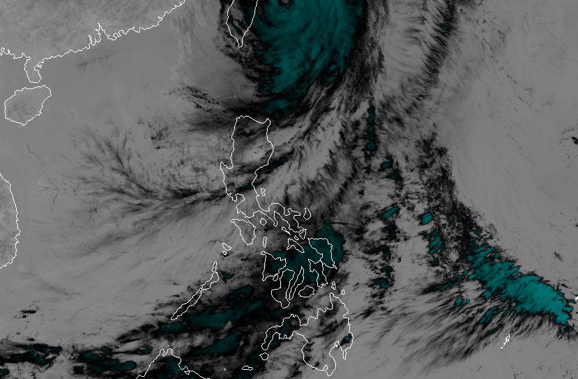 Rain eases in Batanes as Typhoon Rosal starts moving away
ROSAL. Satellite image of Typhoon Rosal (Champi) as of October 23, 2026, 4 pm. MANILA, Philippines – Typhoon Rosal (Champi) is now less likely to bring significant rainfall to Batanes, the weather bureau said on Friday…
- Zamboanga City suspends classes as heat index reaches danger level
Republic of the Philippines ZAMBOANGA CITY – The city government suspended classes in public and private schools on Thursday due to the extreme heat index. City Administrator Percival Ramos issued the order at the…
-
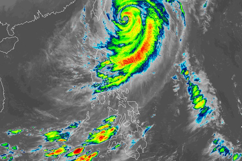 Typhoon Rosal still bringing moderate to heavy rain to Batanes
ROSAL. Satellite image of Typhoon Rosal (Champi) as of October 23, 2026, 4 am. MANILA, Philippines – Typhoon Rosal (Champi) continued to affect Batanes and other parts of Northern Luzon on Friday, October 23, even…
- Rosal maintains strength, exits PAR by Saturday — PAGASA
Typhoon Rosal maintains its strength while moving in the northwest direction over the sea east northeast of Batanes and may exit the Philippine Area of Responsibility (PAR) by early Saturday morning, according to the…
-
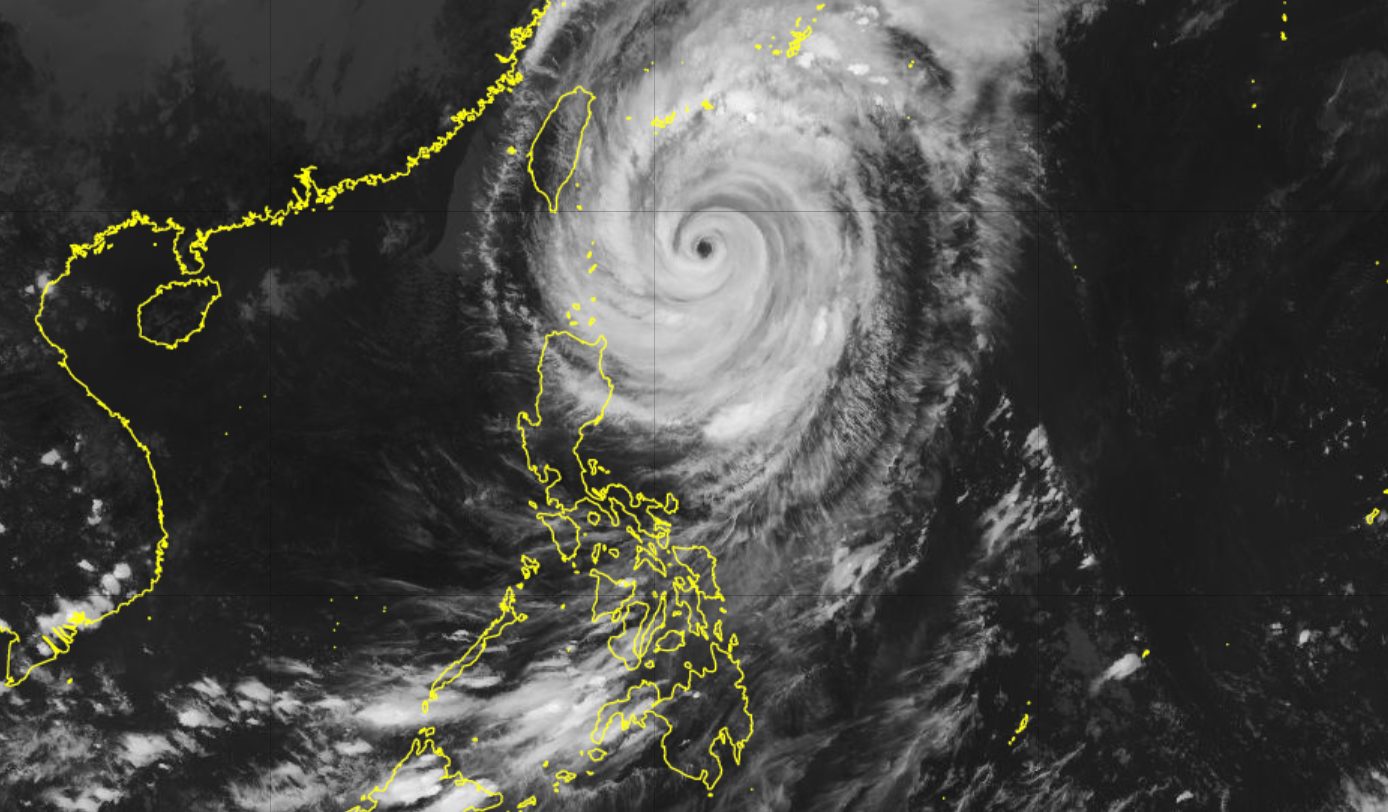 Rosal downgraded to typhoon east of Batanes
ROSAL. Satellite image of Typhoon Rosal (Champi) as of October 22, 2026, 4 pm. MANILA, Philippines – Rosal (Champi) weakened from a super typhoon into a typhoon on Thursday afternoon, October 22, but rainfall and wind…
-
 Rosal weakens into typhoon; to exit PAR Friday or Saturday
MANILA – Tropical cyclone Rosal has weakened into a typhoon, the weather bureau said Thursday afternoon. The cyclone packs maximum sustained winds of 165 kilometer per hour (kph) near the center and gustiness of up to…
-
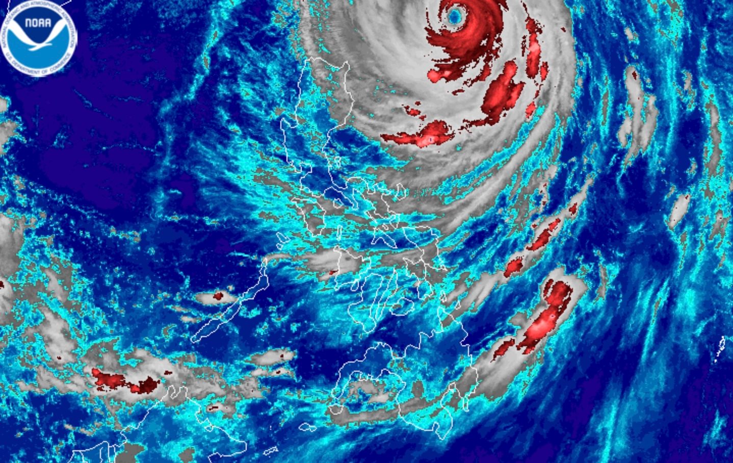 Intense rain possible in Batanes even as Super Typhoon Rosal weakens further
ROSAL. Satellite image of Super Typhoon Rosal (Champi) as of October 22, 2026, 4 am. MANILA, Philippines – Super Typhoon Rosal (Champi) weakened further while moving east of Batanes before dawn on Thursday, October 22…
-
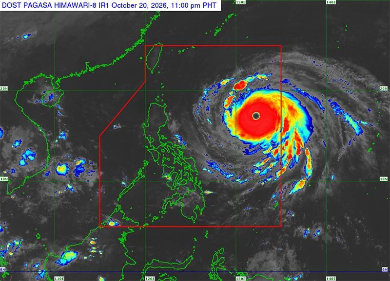 Super Typhoon Rosal enters PAR
It entered PAR at 10:40 a.m. yesterday and was given the local name Rosal. Based on the latest weather satellite at 4 p.m. yesterday, Rosal was located at 1,270 kilometers east of Central Luzon. It was packing winds of…
-
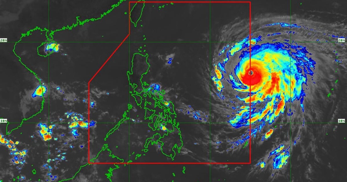 What you need to know about Super Typhoon Rosal
Super Typhoon Rosal (international name Champi) has entered the country's area of responsibility at 10:40 a.m. on Oct. 20, according to the Philippine Atmospheric, Geophysical and Astronomical Services Administration…
-
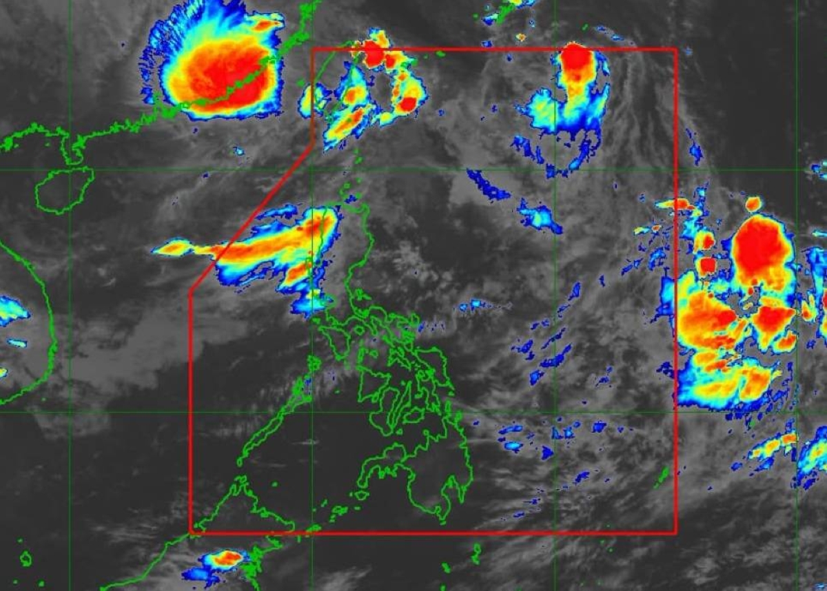 'Champi' now a super typhoon
MANILA, Philippines — "Champi" has turned into a super typhoon, said the Philippine Atmospheric, Geophysical and Astronomical Services Administration (Pagasa). "The typhoon with the international name Champi intensified…
Sun & moon
Nearby
- Zamboanga 40 km
- City of Isabela 16 km
- Recodo 37 km
- Maluso 12 km
- Al-Barka 41 km
- Labuan 52 km
- Mercedes 49 km
- Manicahan 58 km
- Tuburan 48 km
- Taluksangay 52 km
- Lamitan City 32 km
- Culianan 51 km
Forecasts, observations and alerts in the United States come from the National Weather Service (NOAA); radar from NOAA's Multi-Radar Multi-Sensor system; satellite imagery from NASA's Global Imagery Browse Services (GIBS) and NOAA's GOES satellites; the map from the U.S. Geological Survey's National Map; air quality from AirNow (EPA and its partners); hurricane information from the National Hurricane Center; climate normals and records from NOAA's Regional Climate Centers (ACIS). Forecasts outside the United States and the UV index: MET Norway (CC BY 4.0); observations outside the U.S.: airport reports via NOAA's Aviation Weather Center. Place names: GeoNames (CC BY 4.0). Data are copied on a schedule and may lag the sources; for warnings that affect your safety, follow your local National Weather Service office and emergency officials. Weather news is drawn from the 4Search index and reflects what the press published. Terms of use.