Install
Santa Barbara, Western Visayas, Philippines Weather
Current conditions
Forecast for this hour (no station report in the last two hours)
Forecast
10-day-
Monday
Heavy rain. High 31°. Precipitation 2.6 mm for the day.
-
Monday Night
Fog. Low 24°. Precipitation 2.6 mm for the day.
-
Tuesday
Rain. High 31°. Precipitation 2.8 mm for the day.
MET Norway forecast updated 1 day ago.
Hourly
Hourly forecast- Now24°
- 07:0025°
- 08:0028°
- 09:0029°0.2
- 10:0030°0.2
- 11:0031°
- 12:0031°0.3
- 13:0030°1.7
- 14:0028°0.2
- 15:0029°
- 16:0029°
- 17:0028°
- 18:0027°
- 19:0027°
- 20:0026°
- 21:0026°
- 22:0026°
- 23:0025°
- Tue00:0025°
- 01:0025°
- 02:0025°
- 03:0025°
- 04:0025°
- 05:0025°
Daily forecast
DetailsRadar
Full mapWeather news near Santa Barbara
More weather news-
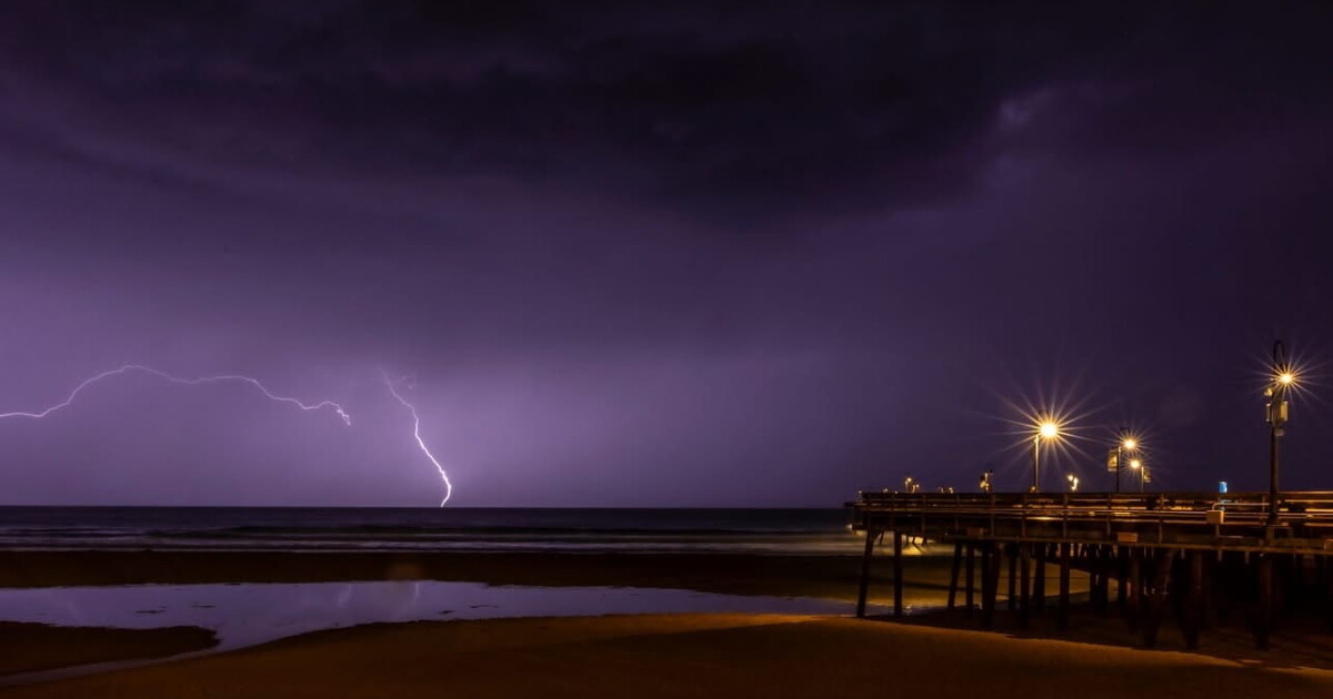 Scattered showers and downpours tonight, dry and warmer conditions this weekend
Here is your Central Coast weather update for San Luis Obispo and Santa Barbara counties from Meteorologist Jim Castillo Synoptic Setup: A classic cut-off upper-level low-pressure system, detached from the main jet…
-
 Rain clouds swept the Modesto area. Here’s how much rain fell and what’s next
After several days of rain, gusty winds and cooler temperatures, skies have finally cleared over the Modesto area. The storms brought measurable rainfall across California. As of late Thursday morning, radar estimates…
- Rain clouds swept through Merced area. Here’s how much rain fell and what’s next
After several days of rain, gusty winds and cooler temperatures, skies have finally cleared over the Merced area. The storms brought measurable rainfall across California. As of late Thursday morning, radar estimates…
-
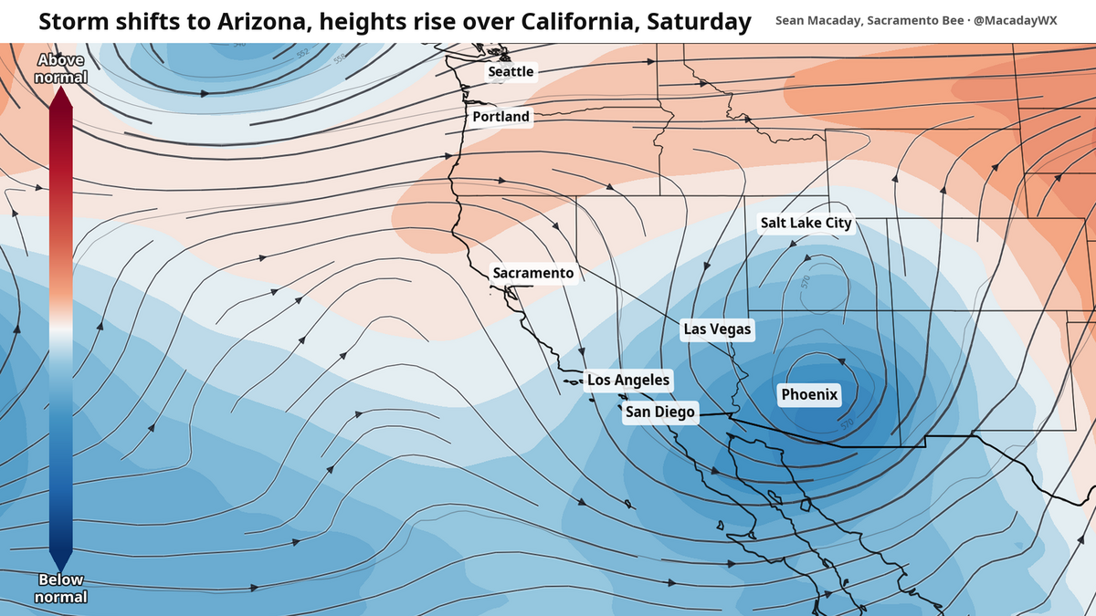 Rain to take welcome weekend break in Sacramento. Here’s how long it could last
After two days of on-and-off showers that Central California has not seen months, the rain is coming to a close as of Friday morning. Precipitation was intense across the state. As of late Thursday morning…
-
 Southern California weather — Fall Storm Brings Thunderstorms and Flood Advisories
A recent Southern California weather system driven by an autumn storm is continuing to bring thunderstorms, lightning, and heavy rain to the region. With localized downpours expected, authorities have issued strict…
-
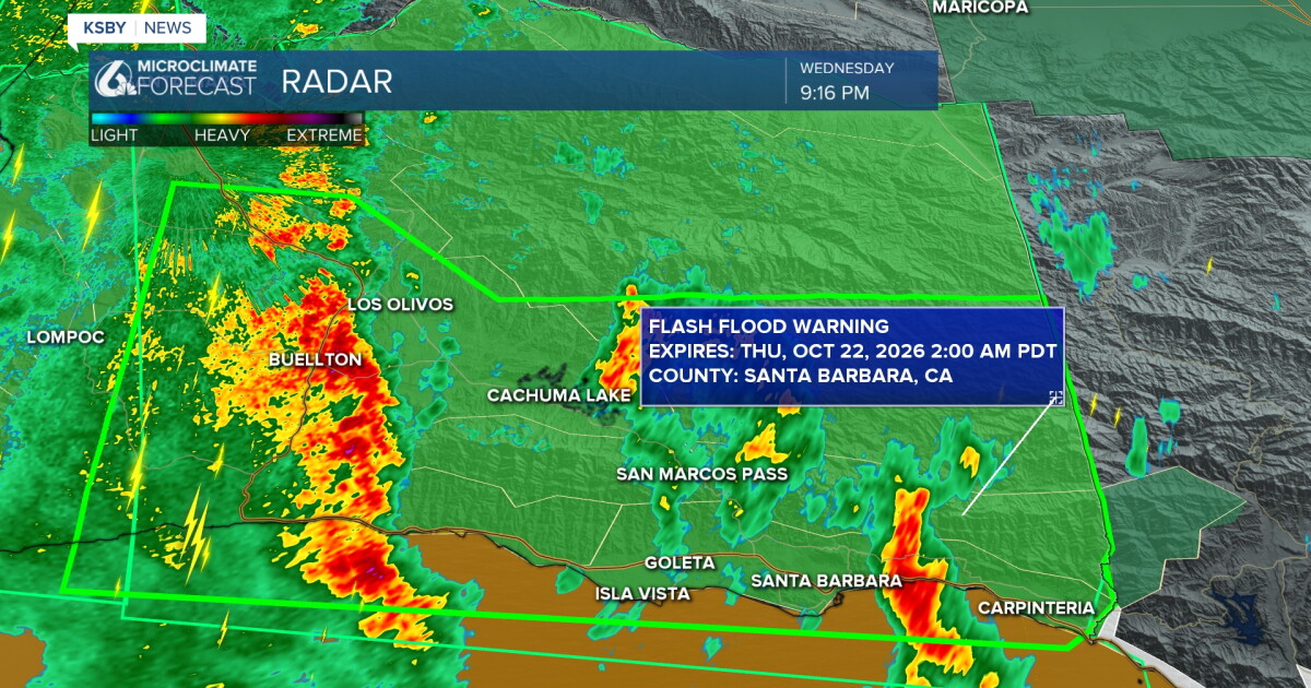 Waves of rain tonight, with the potential for heavy thunderstorms
Here's your Central Coast weather update from Meteorologist Jim Castillo for San Luis Obispo & Santa Barbara counties: More RAINFALL TOTALS for San Luis Obispo and Santa Barbara County Waves of showers & and the…
- UPDATE: Severe thunderstorm warning previously issued will expire at 8:45 p.m.
Sacramento Bee The creation of this content included the use of AI based on templates created, reviewed and edited by journalists in the newsroom. Read more on our AI policy here. The warning was issued for Santa…
-
 Weather Report: First Big Storm Of The Season Hits South Pasadena Tonight, Then Santa Ana Sunshine Takes Over For The Weekend
Cozy rainy night ahead Wednesday Night, October 21 • Showers and possibly a thunderstorm • Chance of rain: 90 percent • New rainfall: a quarter to half an inch possible • High near 67 • Wind turning from southeast to…
-
 Autumn Storm Arrives in Southland
Rain swept across most of the Southland Wednesday as a strong autumn storm moved over the area, promising to bring sometimes-heavy rain expected to last through at least Thursday, along with the possibility of…
-
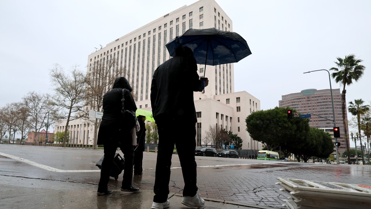 SoCal faces risks of downpours as October storm moves in
A strong autumn storm is expected to bring sometimes-heavy rain through at least Thursday. Amber Frias reports for the NBC4 News at 3 p.m. on Wednesday, Oct. 21, 2026. Rain swept across most of Southern California…
Sun & moon
Nearby
- Iloilo 14 km
- Bacolod City 49 km
- Mansilingan 53 km
- Bago City 46 km
- Talisay 48 km
- Victorias 59 km
- Binonga 49 km
- Enrique B. Magalona 49 km
- Passi 34 km
- Pulupandan 45 km
- Taloc 48 km
- Pacol 52 km
Forecasts, observations and alerts in the United States come from the National Weather Service (NOAA); radar from NOAA's Multi-Radar Multi-Sensor system; satellite imagery from NASA's Global Imagery Browse Services (GIBS) and NOAA's GOES satellites; the map from the U.S. Geological Survey's National Map; air quality from AirNow (EPA and its partners); hurricane information from the National Hurricane Center; climate normals and records from NOAA's Regional Climate Centers (ACIS). Forecasts outside the United States and the UV index: MET Norway (CC BY 4.0); observations outside the U.S.: airport reports via NOAA's Aviation Weather Center. Place names: GeoNames (CC BY 4.0). Data are copied on a schedule and may lag the sources; for warnings that affect your safety, follow your local National Weather Service office and emergency officials. Weather news is drawn from the 4Search index and reflects what the press published. Terms of use. How to use Weather