Install
Samal, Davao Region, Philippines Weather
Current conditions
Forecast for this hour (no station report in the last two hours)
Forecast
10-day-
Wednesday
Cloudy. High 33°. Precipitation 1.2 mm for the day.
-
Wednesday Night
Rain. Low 25°. Precipitation 1.2 mm for the day.
-
Thursday
Rain. High 32°. Precipitation 1.4 mm for the day.
MET Norway forecast updated 7 hrs ago.
Hourly
Hourly forecast- Now26°
- 05:0025°
- 06:0026°
- 07:0027°
- 08:0029°
- 09:0030°
- 10:0030°
- 11:0031°
- 12:0032°
- 13:0033°
- 14:0032°
- 15:0030°
- 16:0030°
- 17:0029°
- 18:0028°
- 19:0028°0.2
- 20:0027°0.2
- 21:0026°0.8
- 22:0026°
- 23:0026°
- Thu00:0026°
- 01:0026°
- 02:0026°
- 03:0025°
Daily forecast
DetailsRadar
Full mapWeather news near Samal
More weather news-
 Five ways El Niño is affecting the weather around the world
El Niño has been strengthening for several months now and is already having a significant impact on global weather patterns. Countries including Indonesia, India and the United States have been experiencing droughts…
-
 A bomb cyclone and atmospheric river are developing in the Pacific. What does that mean for the West Coast?
Updated on: November 20, 2024 / 7:13 AM EST / CBS News The Northwest is bracing for a strong storm system that began moving onshore early Wednesday, bringing strong winds, heavy rain and mountain snow. Over 7 million…
-
 Sunny streak to continue in mid-October Vancouver forecast
October may not be famous as a sunny month in Vancouver, but this year the sunshine is expected to continue. Some high cloud will pass overhead on Monday, says Environment Canada meteorologist Chloe Katsademas, but…
-
 Rains To Continue Over Coastal AP, Rayalaseema
Visakhapatnam: Rains will continue over coastal Andhra Pradesh and Rayalaseema till Wednesday, October 21, IMD Amaravati said in its bulletin on Monday. As per the report, the upper air cyclonic circulation over…
-
 Cool weather and rain on tap for San Diego County this week
A north Pacific storm that’s drawing moisture from distant Tropical Storm Trudy will spread across San Diego County late Tuesday night and drop a half-inch or more of precipitation through Friday, the National Weather…
-
 Slow-moving nor'easter to spread gusty winds, coastal flooding to Northeast this week
A slow-moving storm traveling northward along the East Coast this week will pack strong winds and some rain around its core. As the center of the storm gradually migrates from off the coast of the Carolinas on Monday to…
-
 Sunshine takes over the Tri-State with a long stretch of dry weather
CINCINNATI (WXIX) - The Tri-State is settling into an extended stretch of beautiful October weather, with comfortable afternoons, chilly nights and plenty of sunshine. Rain chances are nearly ... CINCINNATI (WXIX) - The…
- Tropical development possible off the east coast
The National Hurricane Center has now added a tropical wrinkle to the strong non-tropical coastal low / nor’easter we’ve been tracking off the East Coast. This is the same system driving our nor’easter impacts through…
- Dallas Forecast: Sunny Days Warm Into the 80s as Regional Drought Persists
Dallas starts the week with a forecast for sunny, dry weather and a high near 77 degrees on Monday, Oct. 19. The National Weather Service forecast calls for a low around 55 Monday night, then highs near 81 Tuesday, 84…
-
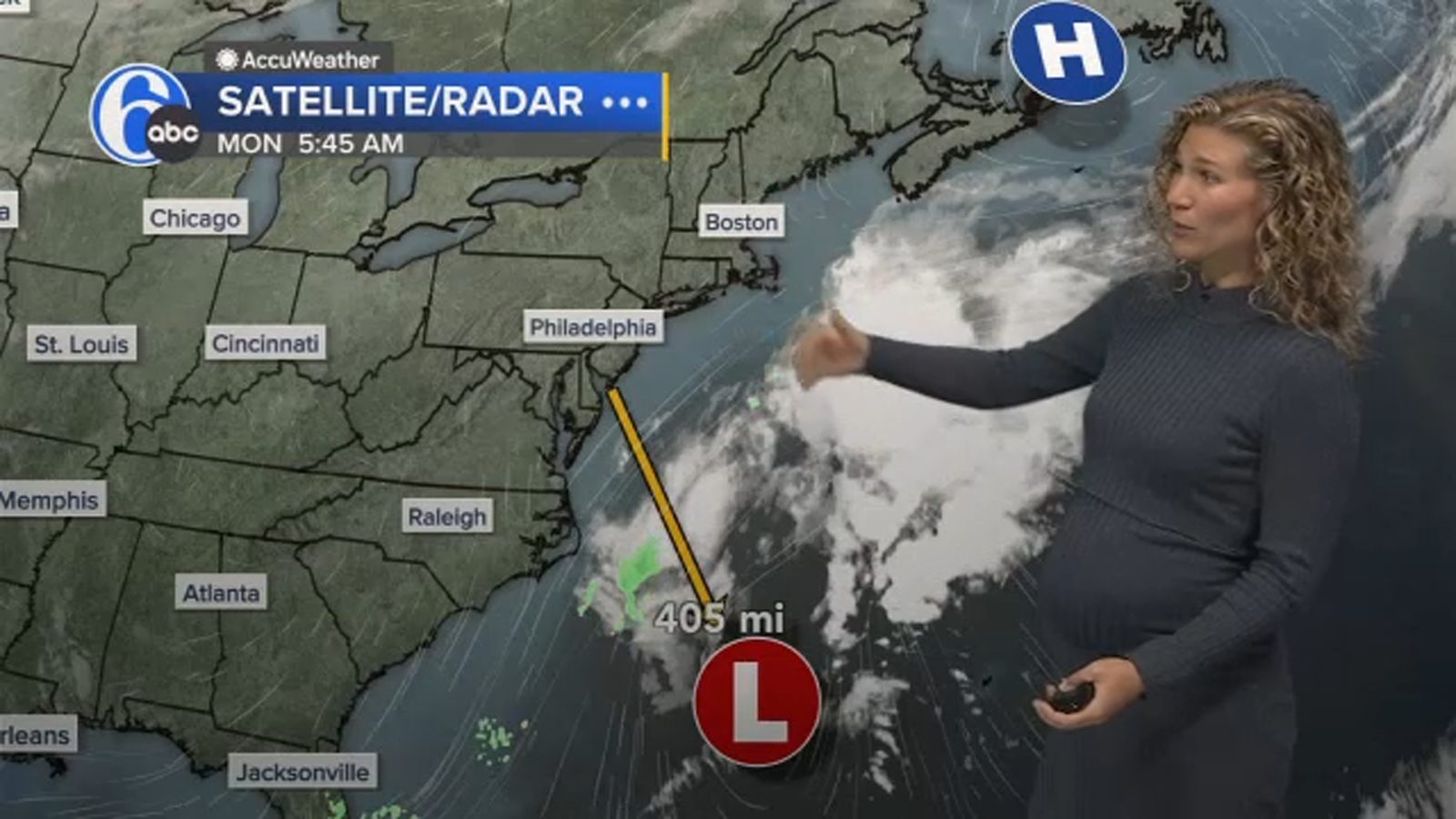 Nor'easter this week: Brewing coastal storm to stir up days of trouble for Mid-Atlantic
Strong winds, pounding seas and coastal flood threats were near-constant companions over the weekend for parts of North Carolina up through the Chesapeake Bay area as a nor'easter that's expected to linger well into…
Sun & moon
Nearby
- Davao 11 km
- Magugpo Poblacion 43 km
- Panabo 26 km
- Digos 53 km
- Mati 58 km
- Maco 36 km
- Lupon 39 km
- New Corella 58 km
- San Mariano 57 km
- Cabayangan 37 km
- New Visayas 51 km
- Guihing Proper 59 km
Forecasts, observations and alerts in the United States come from the National Weather Service (NOAA); radar from NOAA's Multi-Radar Multi-Sensor system; satellite imagery from NASA's Global Imagery Browse Services (GIBS) and NOAA's GOES satellites; the map from the U.S. Geological Survey's National Map; air quality from AirNow (EPA and its partners); hurricane information from the National Hurricane Center; climate normals and records from NOAA's Regional Climate Centers (ACIS). Forecasts outside the United States and the UV index: MET Norway (CC BY 4.0); observations outside the U.S.: airport reports via NOAA's Aviation Weather Center. Place names: GeoNames (CC BY 4.0). Data are copied on a schedule and may lag the sources; for warnings that affect your safety, follow your local National Weather Service office and emergency officials. Weather news is drawn from the 4Search index and reflects what the press published. Terms of use.