Install
Quezon, Mimaropa, Philippines Weather
Current conditions
Forecast for this hour (no station report in the last two hours)
Forecast
10-day-
Friday
Heavy showers. High 29°. Precipitation 5.3 mm for the day.
-
Friday Night
Rain. Low 23°. Precipitation 5.3 mm for the day.
-
Saturday
Heavy rain. High 28°. Precipitation 20.4 mm for the day.
MET Norway forecast updated 2 days ago.
Daily forecast
DetailsRadar
Full mapWeather news near Quezon
More weather news-
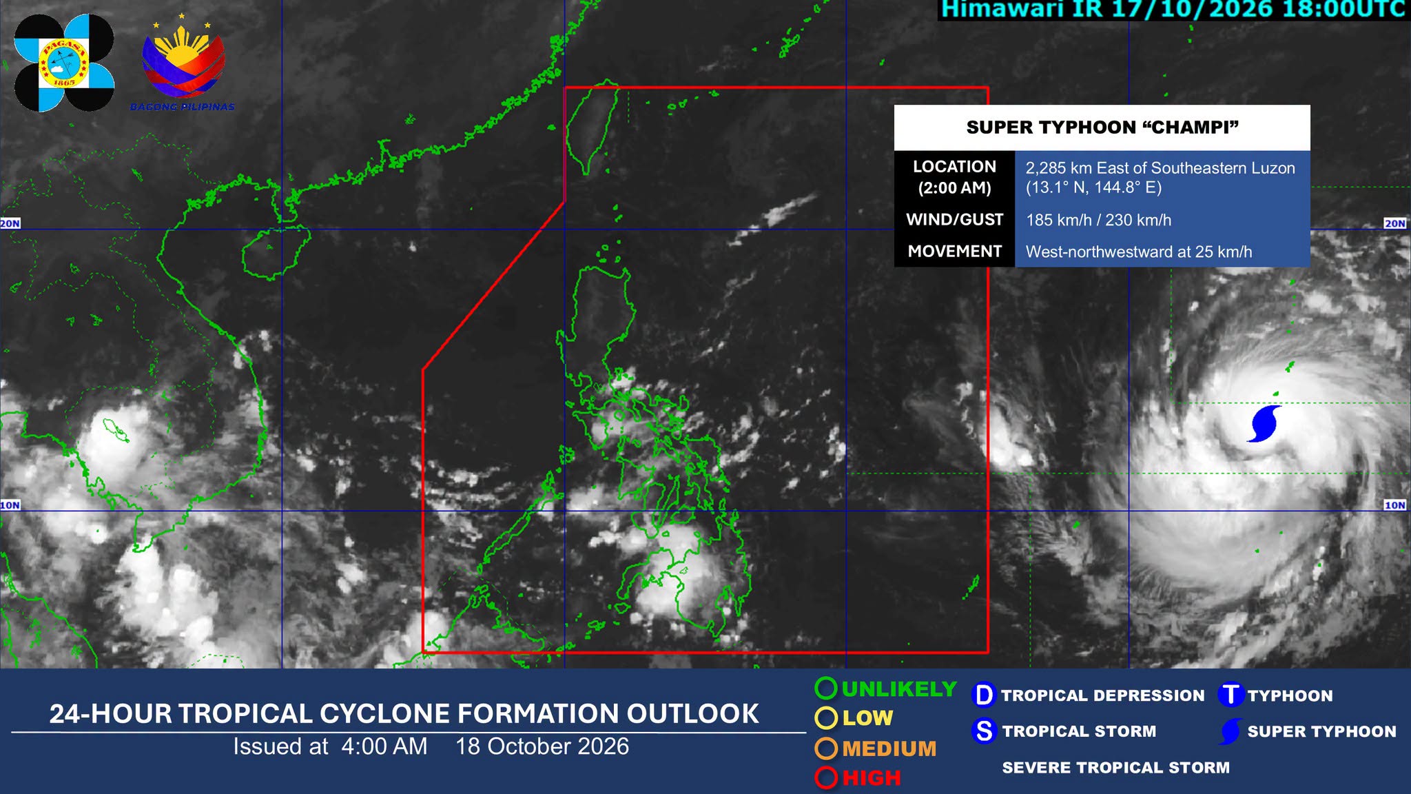 ITCZ to bring rains over parts of Mindanao, Palawan
The Intertropical Convergence Zone (ITCZ) will bring cloudy skies with scattered rains and thunderstorms over parts of Mindanao and Palawan on Sunday, the Philippine Atmospheric, Geophysical and Astronomical Services…
-
 ITCZ, easterlies to bring rains; Super Typhoon Champi nearing PAR
MANILA – The intertropical convergence zone (ITCZ) and easterlies will bring rain showers and thunderstorms to parts of the country on Sunday, while Super Typhoon Champi is expected to enter the Philippine Area of…
-
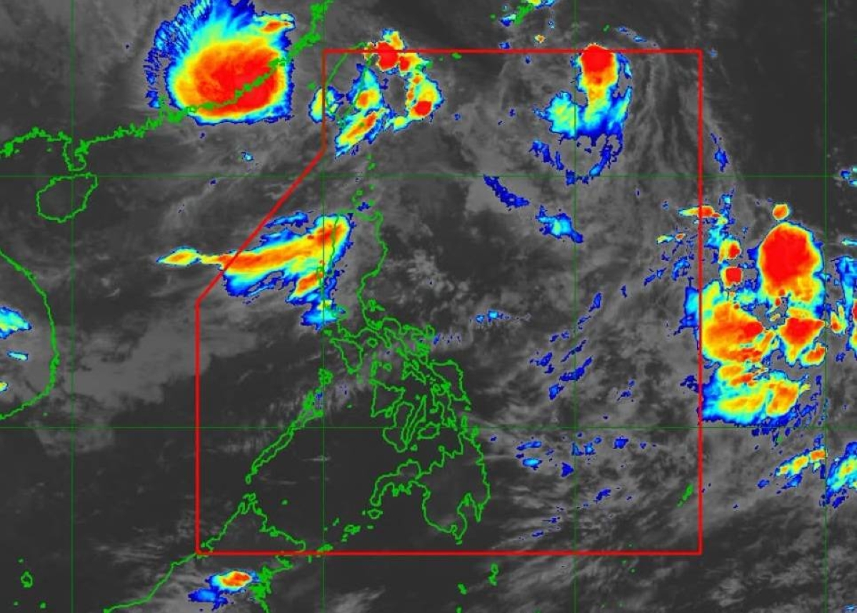 Approaching typhoon to bring rains to parts of PH starting Monday — Pagasa
MANILA, Philippines — Typhoon Champi, currently outside the Philippine Area of Responsibility (PAR), may bring scattered rains and thunderstorms to eastern Visayas and Mindanao starting Monday, October 19, according to…
-
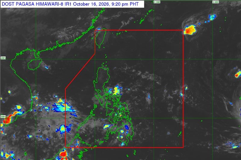 Super typhoon may enter PAR next week
MANILA, Philippines — A potential super typhoon is expected to enter the Philippine area of responsibility (PAR) next week, the Philippine Atmospheric, Geophysical and Astronomical Services Administration said…
-
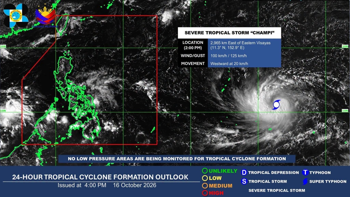 Severe tropical storm may enter PAR next week, to bring rains in Visayas, Mindanao — Pagasa
MANILA, Philippines — A severe tropical storm may enter the Philippine Area of Responsibility (PAR) on Tuesday next week while its trough could bring rains to parts of the Visayas and Mindanao as early as Monday, the…
- ITCZ, easterlies to bring rain over PHL
The Intertropical Convergence Zone (ITCZ) and easterlies are expected to bring rain across the country, posing risks of flooding and landslides, according to the Philippine Atmospheric, Geophysical and Astronomical…
-
 CALABARZON, MIMAROPA face 2027 drought threat
Several provinces in CALABARZON and MIMAROPA could face meteorological drought by January 2027 as below-normal rainfall conditions are expected to spread across the country, according to the latest six-month outlook of…
-
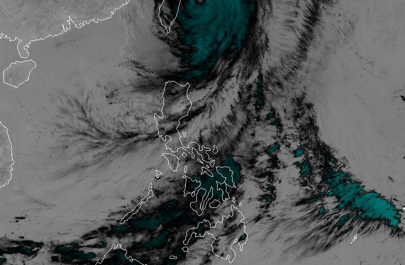 Rain eases in Batanes as Typhoon Rosal starts moving away
ROSAL. Satellite image of Typhoon Rosal (Champi) as of October 23, 2026, 4 pm. MANILA, Philippines – Typhoon Rosal (Champi) is now less likely to bring significant rainfall to Batanes, the weather bureau said on Friday…
-
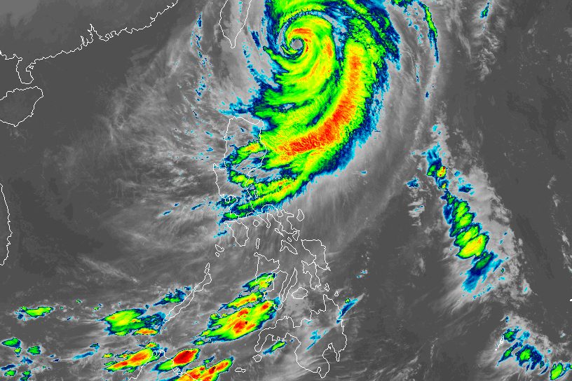 Typhoon Rosal still bringing moderate to heavy rain to Batanes
ROSAL. Satellite image of Typhoon Rosal (Champi) as of October 23, 2026, 4 am. MANILA, Philippines – Typhoon Rosal (Champi) continued to affect Batanes and other parts of Northern Luzon on Friday, October 23, even…
-
 'Rosal' weakens further, likely to be downgraded to tropical storm by Saturday | ABS-CBN News
'Rosal' weakens further, likely to be downgraded to tropical storm by Saturday ABS-CBN 'Rosal' weakens further, likely to be downgraded to tropical storm by Saturday Your go-to source for the latest news, entertainment…
Sun & moon
Nearby
- Brookes Point 56 km
- Narra 41 km
- Magsaysay 55 km
- Panacan 41 km
- Panitian 17 km
- Pañgobilian 52 km
- Eraan 41 km
- Ipilan 46 km
- Calatugas 23 km
- Tabon 4 km
- Isugod 15 km
- Barong Barong 46 km
Forecasts, observations and alerts in the United States come from the National Weather Service (NOAA); radar from NOAA's Multi-Radar Multi-Sensor system; satellite imagery from NASA's Global Imagery Browse Services (GIBS) and NOAA's GOES satellites; the map from the U.S. Geological Survey's National Map; air quality from AirNow (EPA and its partners); hurricane information from the National Hurricane Center; climate normals and records from NOAA's Regional Climate Centers (ACIS). Forecasts outside the United States and the UV index: MET Norway (CC BY 4.0); observations outside the U.S.: airport reports via NOAA's Aviation Weather Center. Place names: GeoNames (CC BY 4.0). Data are copied on a schedule and may lag the sources; for warnings that affect your safety, follow your local National Weather Service office and emergency officials. Weather news is drawn from the 4Search index and reflects what the press published. Terms of use.