Install
Punta, Mimaropa, Philippines Weather
Current conditions
Forecast for this hour (no station report in the last two hours)
Forecast
10-day-
Wednesday
Partly cloudy. High 30°.
-
Wednesday Night
Partly cloudy. Low 28°.
-
Thursday
Rain. High 29°. Precipitation 3.5 mm for the day.
MET Norway forecast updated 1 hr ago.
Hourly
Hourly forecast- Now29°
- 16:0029°
- 17:0029°
- 18:0029°
- 19:0029°
- 20:0029°
- 21:0029°
- 22:0028°
- 23:0028°
- Thu00:0028°
- 01:0028°
- 02:0027°0.2
- 03:0027°
- 04:0027°0.5
- 05:0026°0.6
- 06:0026°0.2
- 07:0026°0.2
- 08:0027°
- 09:0027°
- 10:0028°
- 11:0028°
- 12:0029°
- 13:0029°0.3
- 14:0029°
10-day forecast
Details- TodayOct 21Partly cloudy28°30°
- ThuOct 22Rain3.5 mm26°29°
- FriOct 23Light showers0.9 mm26°30°
- SatOct 24Cloudy1.2 mm26°30°
- SunOct 25Heavy rain14.5 mm25°27°
- MonOct 26Mostly sunny1.8 mm25°30°
- TueOct 27Showers10.3 mm25°30°
- WedOct 28Partly cloudy1.7 mm25°30°
- ThuOct 29Light showers5.1 mm24°30°
- FriOct 30Showers4.6 mm24°30°
Radar
Full mapWeather news near Punta
More weather news-
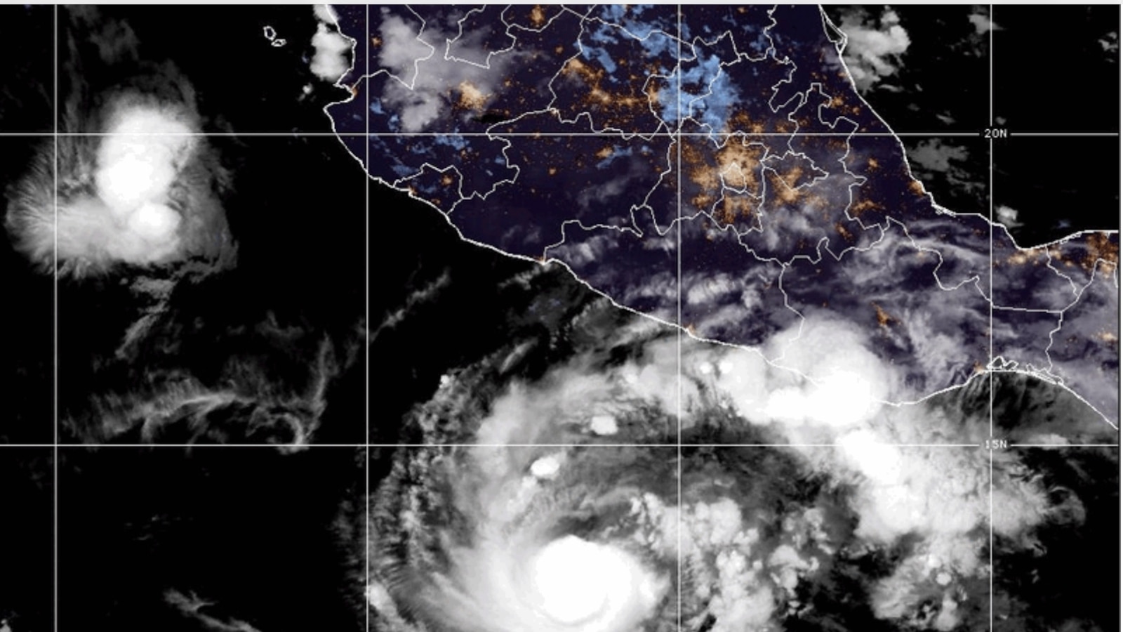 Hurricane Trudy brings heavy rain and strong winds to Mexico’s Pacific coast
Hurricane Trudy brings heavy rain and strong winds to Mexico’s southwestern and west-central Pacific coast, according to the U.S. National Hurricane Center MIAMI -- Hurricane Trudy lashed parts of Mexico’s Pacific coast…
- Hurricane Trudy batters Mexico’s Pacific coast with heavy rain and strong winds
Hurricane Trudy brings heavy rain and strong winds to Mexico’s southwestern and west-central Pacific coast Heavy rain and strong winds hit portions of Mexico’s southwestern and west-central Pacific coast early on…
-
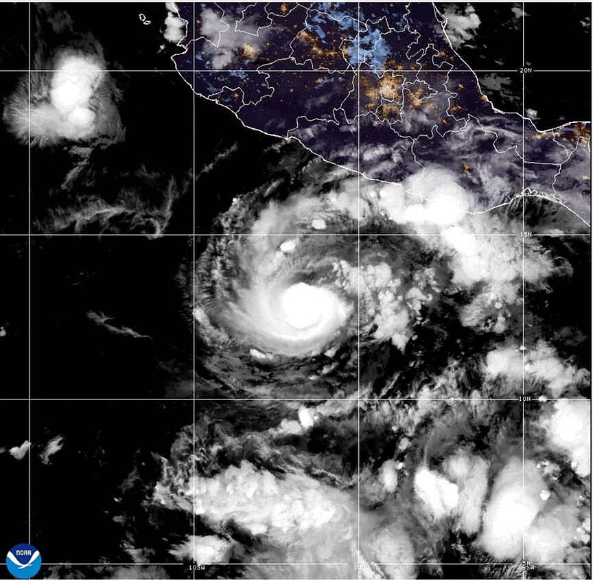 Hurricane Trudy strengthens to a Category 3 storm off Mexico’s Pacific coast
Early Friday, Trudy was about 240 miles (385 kilometers) southwest of Acapulco, Mexico, and about 335 miles (535 kilometers) south-southeast of Manzanillo, Mexico, with maximum sustained winds of 120 mph (195 kph) while…
-
 Hurricane Watch Reaches Cabo Corrientes as Trudy Bears Down on the Same Mexican Coast Simon Soaked Days Ago
Mexico extended a Hurricane Watch north to Cabo Corrientes on Thursday night as Hurricane Trudy strengthened to 105 mph (165 km/h) winds off the country's southwestern coast. In its 9 p.m. CST advisory on Oct. 15, the…
-
 Canada updates travel advisories for Mexico, U.S. and other popular destinations
Published October 16, 2026 at 1:47 pm Canada has updated travel advisories for Mexico, the United States and other popular travel destinations. Fall weather is beginning to set in, which may prompt some Canadians to…
- Hurricane Trudy strengthens to Category 3 near Mexico — The Rio Times
Hurricane Trudy in the Pacific Ocean near Mexico strengthened to Category 3 on the Saffir–Simpson scale on the morning of October 16, 2026. Its sustained winds reached 195 km/h. As The Rio Times reports, the U.S…
- Hurricane Trudy Strengthens Into Category 3 Off Mexico’s Pacific Coast
Published 16 Oct 2026, 11:27 UTC Trudy intensified to Category 3 with winds near 195 km/h off Mexico’s Pacific coast. About 400 km southwest of Acapulco, it approached the southwestern Mexican coast. New York Post was…
-
 Hurricane Trudy becomes major Category 3 storm near Mexico's Pacific Coast
The Times of India Hurricane Trudy intensified into a major Category 3 storm, with forecasters warning that it was moving towards southwestern and west-central parts of Mexicoâs Pacific coastline.Early Friday, Trudy…
- Track major Category 3 Hurricane Trudy as it approaches
Trudy is now a major hurricane and is forecast to approach the southwestern and west-central coast of Mexico this weekend, according to the National Hurricane Center. As of 4 a.m. ET on Friday, Oct. 16, the center of…
-
 Wind signal no. 1 up in 4 provinces as super typhoon Rosal enters PAR | ABS-CBN News
Wind signal no. 1 up in 4 provinces as super typhoon Rosal enters PAR ABS-CBN Wind signal no. 1 up in 4 provinces as super typhoon Rosal enters PAR Your go-to source for the latest news, entertainment highlights…
Sun & moon
Nearby
- Pandan 56 km
- Romblon 46 km
- Balabag 32 km
- Gibong 42 km
- Odiongan 18 km
- Manoc-Manoc 34 km
- Concepcion 19 km
- San Agustin 38 km
- Caticlan 35 km
- Looc 3 km
- Agcogon 21 km
- Pato-o 22 km
Forecasts, observations and alerts in the United States come from the National Weather Service (NOAA); radar from NOAA's Multi-Radar Multi-Sensor system; satellite imagery from NASA's Global Imagery Browse Services (GIBS) and NOAA's GOES satellites; the map from the U.S. Geological Survey's National Map; air quality from AirNow (EPA and its partners); hurricane information from the National Hurricane Center; climate normals and records from NOAA's Regional Climate Centers (ACIS). Forecasts outside the United States and the UV index: MET Norway (CC BY 4.0); observations outside the U.S.: airport reports via NOAA's Aviation Weather Center. Place names: GeoNames (CC BY 4.0). Data are copied on a schedule and may lag the sources; for warnings that affect your safety, follow your local National Weather Service office and emergency officials. Weather news is drawn from the 4Search index and reflects what the press published. Terms of use.