Install
Pulong Santa Cruz, Calabarzon, Philippines Weather
Current conditions
Forecast for this hour (no station report in the last two hours)
Forecast
10-day-
Monday
Light showers. High 31°. Precipitation 1.0 mm for the day.
-
Monday Night
Light showers. Low 25°. Precipitation 1.0 mm for the day.
-
Tuesday
Light showers. High 30°. Precipitation 3.4 mm for the day.
MET Norway forecast updated 15 hrs ago.
Hourly
Hourly forecast- Now29°
- 12:0030°
- 13:0030°
- 14:0031°
- 15:0030°0.6
- 16:0029°
- 17:0030°0.2
- 18:0029°
- 19:0029°
- 20:0029°
- 21:0028°
- 22:0028°
- 23:0028°
- Tue00:0028°
- 01:0027°
- 02:0027°
- 03:0027°
- 04:0027°
- 05:0027°
- 06:0027°
- 07:0027°
- 08:0028°
- 09:0028°
- 10:0029°
Daily forecast
DetailsRadar
Full mapWeather news near Pulong Santa Cruz
More weather news-
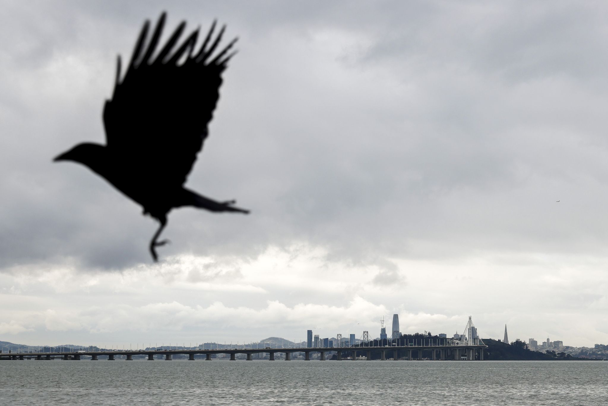 Bay Area weather: Rain showers expected midweek as fall-like temperatures return
Rain clouds loom over San Francisco as seen from the Emeryville waterfront last December. Rain and cooler temperatures are forecast this week after the recent heat and sunshine. Cooler temperatures and rain showers are…
-
 High winds could result in damage across the Gulf Coast Friday and Saturday
Video above: WKRG Weather: Cold Front Brings Windy and Cooler Weekend Weather MOBILE, Ala. (WKRG) — The WKRG News 5 First Alert Storm Team is warning residents across south Mississippi, Alabama, and Northwest Florida of…
- Friday, Oct. 16, 2026: Showers, windy, temps in the 80s
KRGV Friday, Oct. 16, 2026: Showers, windy, temps in the 80s You can also follow our KRGV First Warn 5 Weather team on Facebook and Twitter. - SpaceX launches raise home damage questions for Cameron County residents…
-
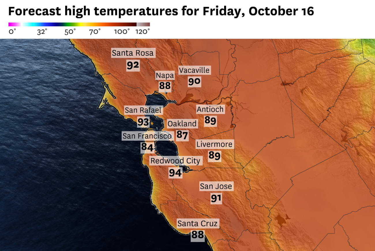 San Francisco could see its last stretch of 80-degree weather before Bay Area resets next week
Friday will be the last day of widespread hot temperatures. San Francisco could experience a final burst of 80-degree weather before a dramatic change brings much cooler temperatures to the Bay Area. The brief two day…
-
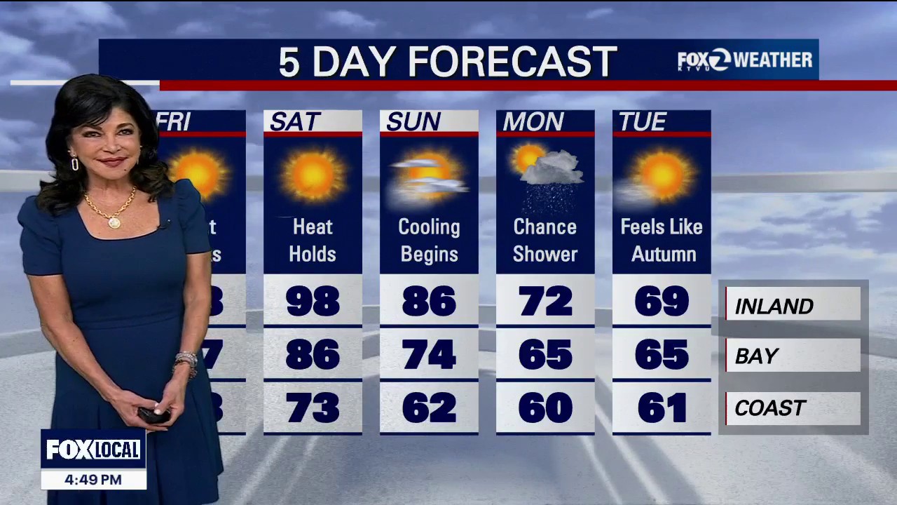 Red Flag Warning for parts of the Bay Area
Red Flag Warning: An official Red Flag Warning is active from 10:00 PM tonight through 11:00 AM Friday across the North Bay Interior Mountains. Diablo Winds: A classic weather setup is unleashing a dangerous Diablo Wind…
-
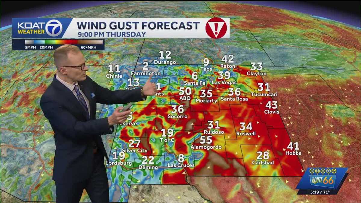 Dangerous wind and freezing temperatures
koat Dangerous east canyon winds target the east side of the Albuquerque metro tonight into early Friday Wind gusts could reach from 50 to 60 mph Thursday night in the Albuquerque metro, which could cause areas of…
-
 High wind warning and freeze alert issued for New Mexico Thursday night
ALBUQUERQUE, N.M. – A strong cold front will bring a significant east wind event across New Mexico, with potentially damaging gusts and the coldest air of the season so far. The front is pushing south and west across…
-
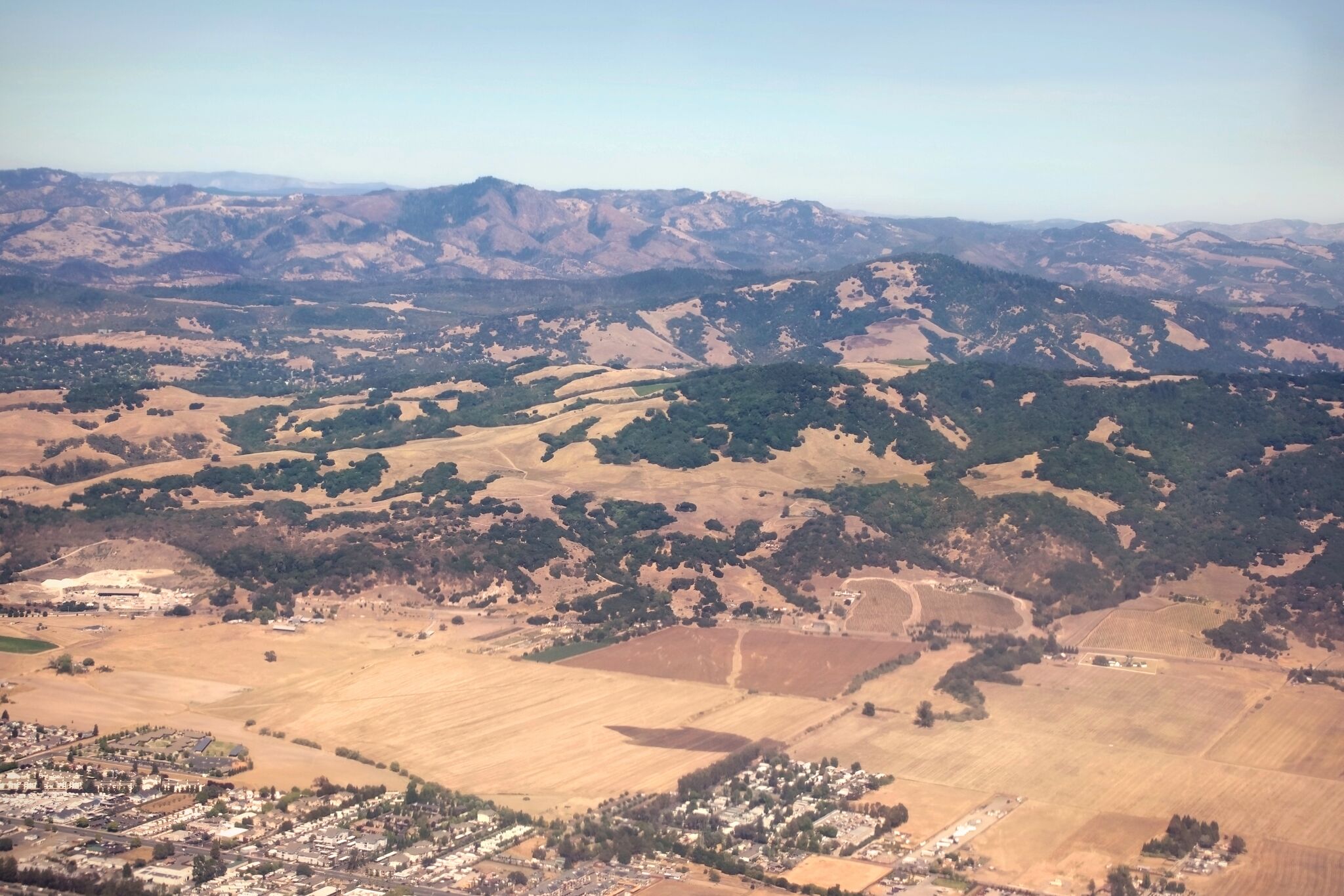 Red flag warning issued for North Bay over risk of 'rapid fire spread'
A view of Sonoma County near Santa Rosa and Taylor Mountain. Diablo winds are forecast for the region. The National Weather Service has issued a red flag warning for parts of the Bay Area as hot, dry winds gusting up to…
- Tropical development off Florida next week uncertain. Cold front coming
The tropics continue to remain quiet, but opinions differ on whether that will last through the month. The National Hurricane Center said early Oct. 15 no tropical cyclone activity is expected over the next seven days…
-
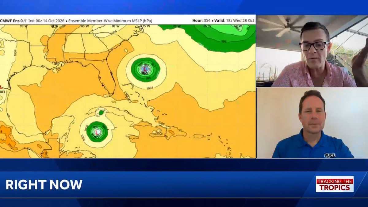 Tropics: No immediate threat in wake of deadly Isaias, but hurricane season isn’t over
Tracking the Tropics airs each week. Download the WJCL app for updates on the tropics: Apple, Google Play WJCL's Chief Meteorologist Jeremy Nelson, in Savannah, is teaming up with WESH Meteorologist Eric Burris, in…
Sun & moon
Nearby
- Quezon City 42 km
- Caloocan 43 km
- Manila 38 km
- Taguig 28 km
- Antipolo 40 km
- Pasig City 35 km
- Valenzuela 49 km
- Paranaque City 24 km
- Las Piñas 22 km
- Calamba 12 km
- Muntinlupa 13 km
- Makati City 31 km
Forecasts, observations and alerts in the United States come from the National Weather Service (NOAA); radar from NOAA's Multi-Radar Multi-Sensor system; satellite imagery from NASA's Global Imagery Browse Services (GIBS) and NOAA's GOES satellites; the map from the U.S. Geological Survey's National Map; air quality from AirNow (EPA and its partners); hurricane information from the National Hurricane Center; climate normals and records from NOAA's Regional Climate Centers (ACIS). Forecasts outside the United States and the UV index: MET Norway (CC BY 4.0); observations outside the U.S.: airport reports via NOAA's Aviation Weather Center. Place names: GeoNames (CC BY 4.0). Data are copied on a schedule and may lag the sources; for warnings that affect your safety, follow your local National Weather Service office and emergency officials. Weather news is drawn from the 4Search index and reflects what the press published. Terms of use. How to use Weather