Install
Jordan, Western Visayas, Philippines Weather
Current conditions
Forecast for this hour (no station report in the last two hours)
Forecast
10-day-
Thursday
Rain. High 29°. Precipitation 3.9 mm for the day.
-
Thursday Night
Rain. Low 25°. Precipitation 3.9 mm for the day.
-
Friday
Heavy rain. High 28°. Precipitation 16.6 mm for the day.
MET Norway forecast updated 20 hrs ago.
Hourly
Hourly forecast- Now26°
- 06:0026°0.2
- 07:0026°
- 08:0028°0.2
- 09:0029°0.5
- 10:0029°0.5
- 11:0028°0.3
- 12:0029°
- 13:0029°
- 14:0029°
- 15:0028°
- 16:0027°
- 17:0027°
- 18:0026°
- 19:0026°
- 20:0025°0.3
- 21:0025°0.6
- 22:0025°0.5
- 23:0025°0.2
- Fri00:0025°
- 01:0025°0.2
- 02:0025°0.2
- 03:0025°0.3
- 04:0025°0.2
Daily forecast
DetailsRadar
Full mapWeather news near Jordan
More weather news-
 Mild Weather Expected Through Tuesday
Jordan will experience mild weather on Sunday across most areas, while conditions will be moderate in the Jordan Valley, the Dead Sea and Aqaba. Low-level clouds are expected to appear, with a slight chance of light…
-
 Mild Autumn Weather Sunday, Chance of Light Rain in North
PM: Aqaba port system operates at high efficiency Amman, Oct. 18 (Petra) -- Mild autumn weather will prevail across most of Jordan on Sunday, with a slight chance of light rain in northern areas and morning fog expected…
-
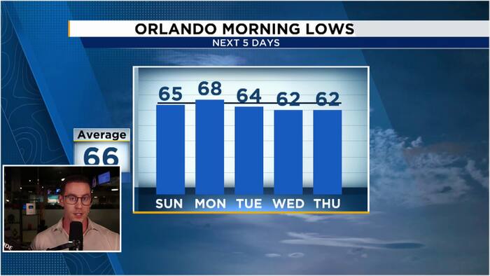 Windy & Cooler Sunday as 60s return to Central Florida
WKMG Jordan Patrick, Certified Meteorologist Windy & Cooler Sunday as 60s return to Central Florida Hundreds honor Brevard County Agent Kevin Morris after fatal I-95 crash Injuries avoided as truck hits school bus in…
-
 Washington-Kyiv Rift Deepens as Zelensky Feels “Betrayed”
Jordan News Washington-Kyiv Rift Deepens as Zelensky Feels “Betrayed”
-
 Mild Autumn Weather Expected Across Kingdom With Light Showers In North
AMMAN, Oct. 17 (Petra) – Daytime temperatures on Saturday will remain below seasonal averages for this time of year, bringing mild and partly cloudy conditions across northern and central Jordan, according to the Jordan…
- Mild autumn weather expected across most regions on Saturday
Daytime temperatures on Saturday will remain below seasonal averages for this time of year, bringing mild and partly cloudy conditions across northern and central Jordan, according to the Jordan Meteorological…
-
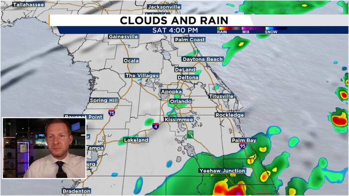 Windy weekend ahead as cold front arrives Saturday morning
WKMG Jordan Patrick, Certified Meteorologist Alligator attacks adult at Winter Garden park Windy weekend ahead as cold front arrives Saturday morning Driver seriously hurt after out-of-control golf cart crashes in…
-
 Smugglers' Notch Road to close for the weekend as winter weather approaches
With temperatures expected to drop below freezing this weekend, VTrans is taking precautions by closing a stretch of Route 108 between Stowe and Cambridge. The road is known for its steep grades and narrow turns, which…
-
 Weather Service Forecasts Rain Showers Friday and Saturday
Jordan News Weather Service Forecasts Rain Showers Friday and Saturday
-
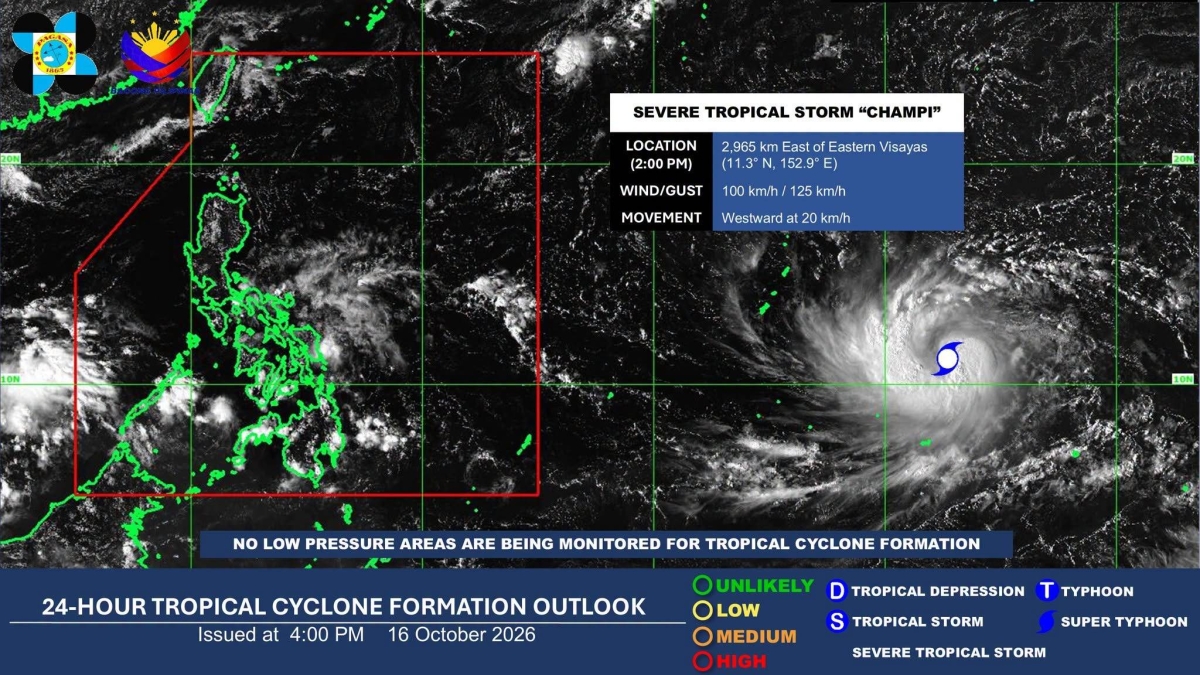 Severe tropical storm may enter PAR next week, to bring rains in Visayas, Mindanao — Pagasa
MANILA, Philippines — A severe tropical storm may enter the Philippine Area of Responsibility (PAR) on Tuesday next week while its trough could bring rains to parts of the Visayas and Mindanao as early as Monday, the…
Sun & moon
Nearby
- Iloilo 6 km
- Bacolod City 39 km
- Mansilingan 42 km
- Bago City 29 km
- Talisay 41 km
- Victorias 58 km
- Binonga 44 km
- La Carlota 44 km
- Enrique B. Magalona 48 km
- Passi 50 km
- Hinigaran 51 km
- Binalbagan 59 km
Forecasts, observations and alerts in the United States come from the National Weather Service (NOAA); radar from NOAA's Multi-Radar Multi-Sensor system; satellite imagery from NASA's Global Imagery Browse Services (GIBS) and NOAA's GOES satellites; the map from the U.S. Geological Survey's National Map; air quality from AirNow (EPA and its partners); hurricane information from the National Hurricane Center; climate normals and records from NOAA's Regional Climate Centers (ACIS). Forecasts outside the United States and the UV index: MET Norway (CC BY 4.0); observations outside the U.S.: airport reports via NOAA's Aviation Weather Center. Place names: GeoNames (CC BY 4.0). Data are copied on a schedule and may lag the sources; for warnings that affect your safety, follow your local National Weather Service office and emergency officials. Weather news is drawn from the 4Search index and reflects what the press published. Terms of use.