Install
Apalit, Central Luzon, Philippines Weather
Current conditions
Forecast for this hour (no station report in the last two hours)
Forecast
10-day-
Tuesday Night
Showers. Low 27°. Precipitation 0.4 mm for the day.
-
Wednesday
Light showers. High 33°. Precipitation 0.8 mm for the day.
-
Wednesday Night
Partly cloudy. Low 25°. Precipitation 0.8 mm for the day.
MET Norway forecast updated 3 hrs ago.
Hourly
Hourly forecast- Now27°
- 23:0027°
- Wed00:0026°
- 01:0026°
- 02:0026°
- 03:0026°
- 04:0026°
- 05:0025°
- 06:0025°
- 07:0026°
- 08:0028°
- 09:0030°
- 10:0031°
- 11:0032°
- 12:0033°
- 13:0033°
- 14:0033°0.3
- 15:0032°0.4
- 16:0030°
- 17:0030°
- 18:0029°
- 19:0028°
- 20:0028°
- 21:0027°
10-day forecast
DetailsRadar
Full mapWeather news near Apalit
More weather news-
 Santa Ana winds to intensify across Los Angeles County
LOS ANGELES — Powerful Santa Ana winds were expected to reach their peak Friday across Los Angeles County, with forecasters warning of mountain gusts potentially reaching 90 mph, temperatures approaching 100 degrees and…
- Santa Ana Winds Anticipated to Reach 90MPH
Powerful Santa Ana winds were expected to reach their peak Friday across Los Angeles County, with forecasters warning of mountain gusts potentially reaching 90 mph, temperatures approaching 100 degrees and an elevated…
- Wind advisory for Southern California until Saturday afternoon
On Friday at 11:03 a.m. a wind advisory was released by the NWS Los Angeles/Oxnard CA in effect until Saturday at 2 p.m. The advisory is for Santa Clarita Valley, Central Ventura County Valleys, Eastern Santa Monica…
- Santa Ana Winds to Intensify Across LACo
Powerful Santa Ana winds are expected to reach their peak Friday across Los Angeles County, with forecasters warning of mountain gusts potentially reaching 90 mph, temperatures approaching 100 degrees and an elevated…
-
 Red Flag Warnings in Effect as Santa Ana Winds Sweep LA County
Powerful Santa Ana winds blasted much of the Southland Thursday, with wind speeds exceeding expectations and combining with low humidity to create critical wildfire conditions that forecasters say will continue through…
-
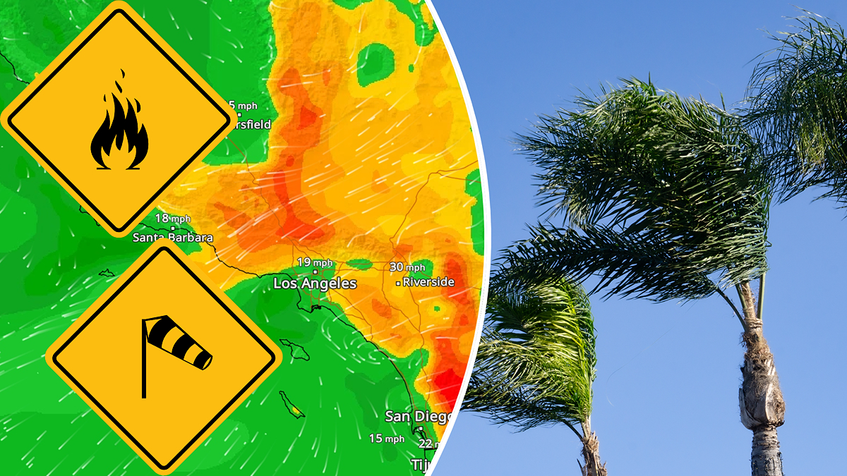 Santa Ana winds start up
Santa Ana wind season is underway in Southern California, and the first event of the season is bringing a potent fire threat to the region. The WindRadar is lighting up over Southern California as the first Santa Ana…
- Red Flag Warnings to Take Effect as Santa Ana Winds Sweep LA County
Powerful Santa Ana winds and rising temperatures will combine with low humidity Thursday to create critical wildfire conditions across much of Los Angeles County, with forecasters warning of potentially damaging gusts…
- Damaging Winds, High Fire Danger Forecast for Southland
Powerful Santa Ana winds and rising temperatures will combine with low humidity starting Thursday to create critical wildfire conditions across much of Los Angeles County, with forecasters warning of potentially…
-
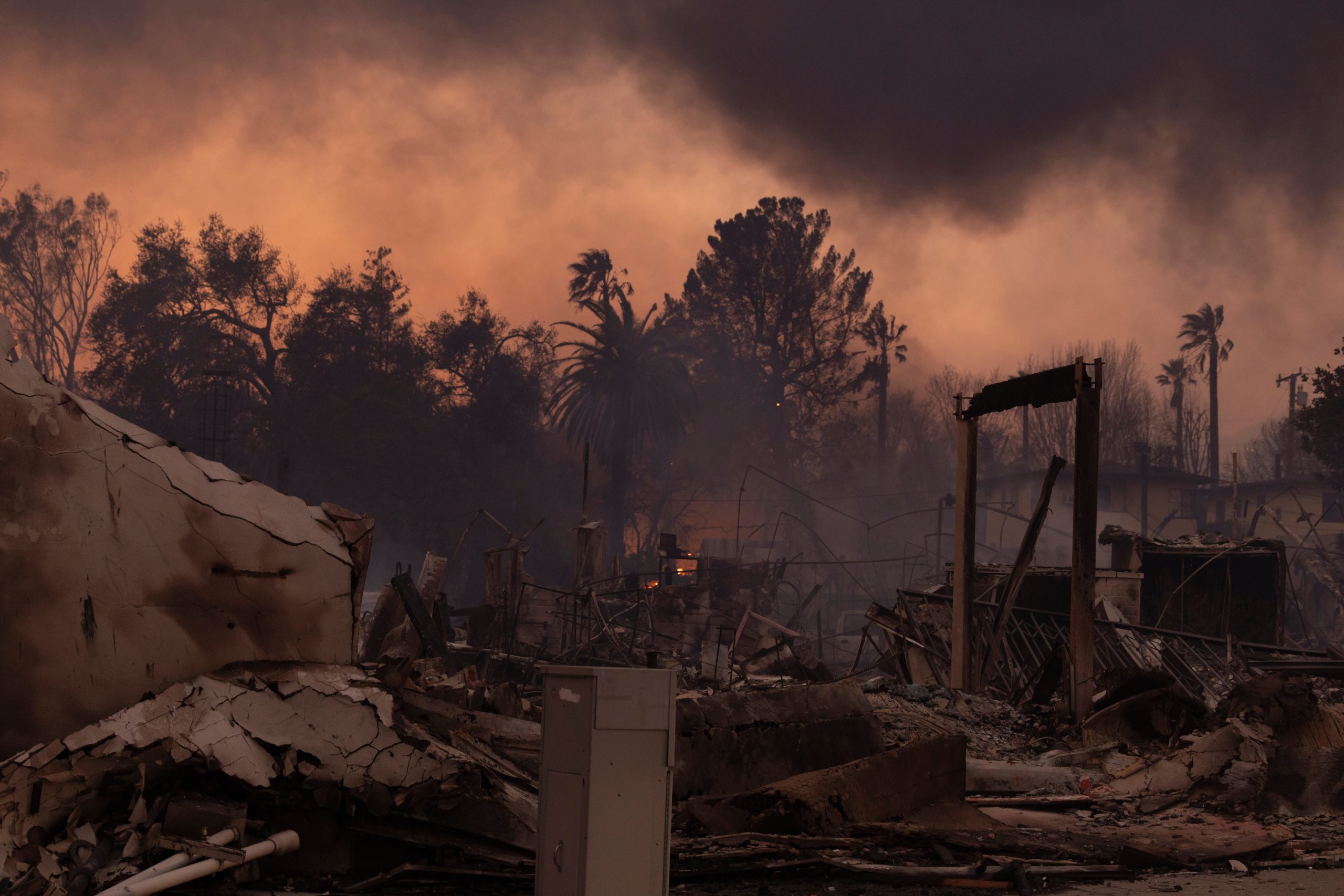 Southland Braces for High Temps, Intense Wind and Potential Wildfires
Temperatures will be on the rise Wednesday ahead of an anticipated Santa Ana wind event set to peak Thursday and Friday that forecasters said will combine with low humidity to create critical wildfire conditions across…
-
 Damaging Winds, High Fire Danger Forecast for SoCal
Temperatures will be on the rise Wednesday ahead of an anticipated Santa Ana wind event set to peak Thursday and Friday that forecasters said will combine with low humidity to create critical wildfire conditions across…
Sun & moon
Nearby
- Quezon City 45 km
- Caloocan 40 km
- Manila 45 km
- Taguig 58 km
- Antipolo 53 km
- Pasig City 51 km
- Valenzuela 35 km
- Paranaque City 59 km
- Makati City 53 km
- Angeles City 30 km
- Marikina City 50 km
- Mandaluyong City 50 km
Forecasts, observations and alerts in the United States come from the National Weather Service (NOAA); radar from NOAA's Multi-Radar Multi-Sensor system; satellite imagery from NASA's Global Imagery Browse Services (GIBS) and NOAA's GOES satellites; the map from the U.S. Geological Survey's National Map; air quality from AirNow (EPA and its partners); hurricane information from the National Hurricane Center; climate normals and records from NOAA's Regional Climate Centers (ACIS). Forecasts outside the United States and the UV index: MET Norway (CC BY 4.0); observations outside the U.S.: airport reports via NOAA's Aviation Weather Center. Place names: GeoNames (CC BY 4.0). Data are copied on a schedule and may lag the sources; for warnings that affect your safety, follow your local National Weather Service office and emergency officials. Weather news is drawn from the 4Search index and reflects what the press published. Terms of use.