Install
San Juan Bautista, Herrera Province, Panama Weather
Current conditions
Forecast for this hour (no station report in the last two hours)
Forecast
10-day-
Tuesday
Showers. High 30°. Precipitation 0.8 mm for the day.
-
Tuesday Night
Cloudy. Low 25°. Precipitation 0.8 mm for the day.
-
Wednesday
Partly cloudy. High 31°.
MET Norway forecast updated 2 hrs ago.
Hourly
Hourly forecast- Now25°
- 07:0025°
- 08:0026°
- 09:0028°
- 10:0029°
- 11:0029°
- 12:0029°
- 13:0030°
- 14:0030°0.4
- 15:0029°0.3
- 16:0029°
- 17:0028°
- 18:0027°
- 19:0026°
- 20:0026°
- 21:0026°
- 22:0026°
- 23:0026°
- Wed00:0026°
- 01:0026°
- 02:0026°
- 03:0026°
- 04:0026°
- 05:0027°
Daily forecast
DetailsRadar
Full mapWeather news in Panama
More weather news-
 FIRST ALERT | Above average temperatures throughout the week
PANAMA CITY, Fla. (WJHG/WECP) - A stunning Sunday with a little bit of a breeze out of the north keeping things from feeling too warm. We’ll continue to have a pretty gusty Sunday evening with these winds lasting until…
-
 FIRST ALERT | In for another perfect Florida Fall Day, but watch for these risks
WJHG FIRST ALERT | In for another perfect Florida Fall Day, but watch for these risks PANAMA CITY, Fla. (WJHG/WECP) - Low humidity and gusty winds still pose a fire risk continued throughout the weekend. Small Craft…
-
 FIRST ALERT | Sunny skies continue through the weekend with plenty of time to soak up these fall conditions
Stunning day will lead to a cool night from 47°-52°, warmer by the coast. Bring that jacket or windbreaker for any late evening or early morning excursions, but be prepared to get warm in the afternoon as highs will be…
-
 More sunshine and fall feels ahead for the weekend
Tune in each weekday morning to NewsChannel 7 Today for your latest on news, weather, and sports. PANAMA CITY, Fla. (WJHG/WECP) - Good Wednesday afternoon everyone! Find a something to do outdoors today and this weekend…
-
 UN Warns El Niño May Be Off the Charts
—What. The UN weather agency says Pacific waters could reach 3.8°C above average from November 2026 to January 2027. —Why it matters. That would go beyond the scales the agency has used to track El Niño for four…
-
 After a year of unusual weather in Chicago, should you brace for winter?
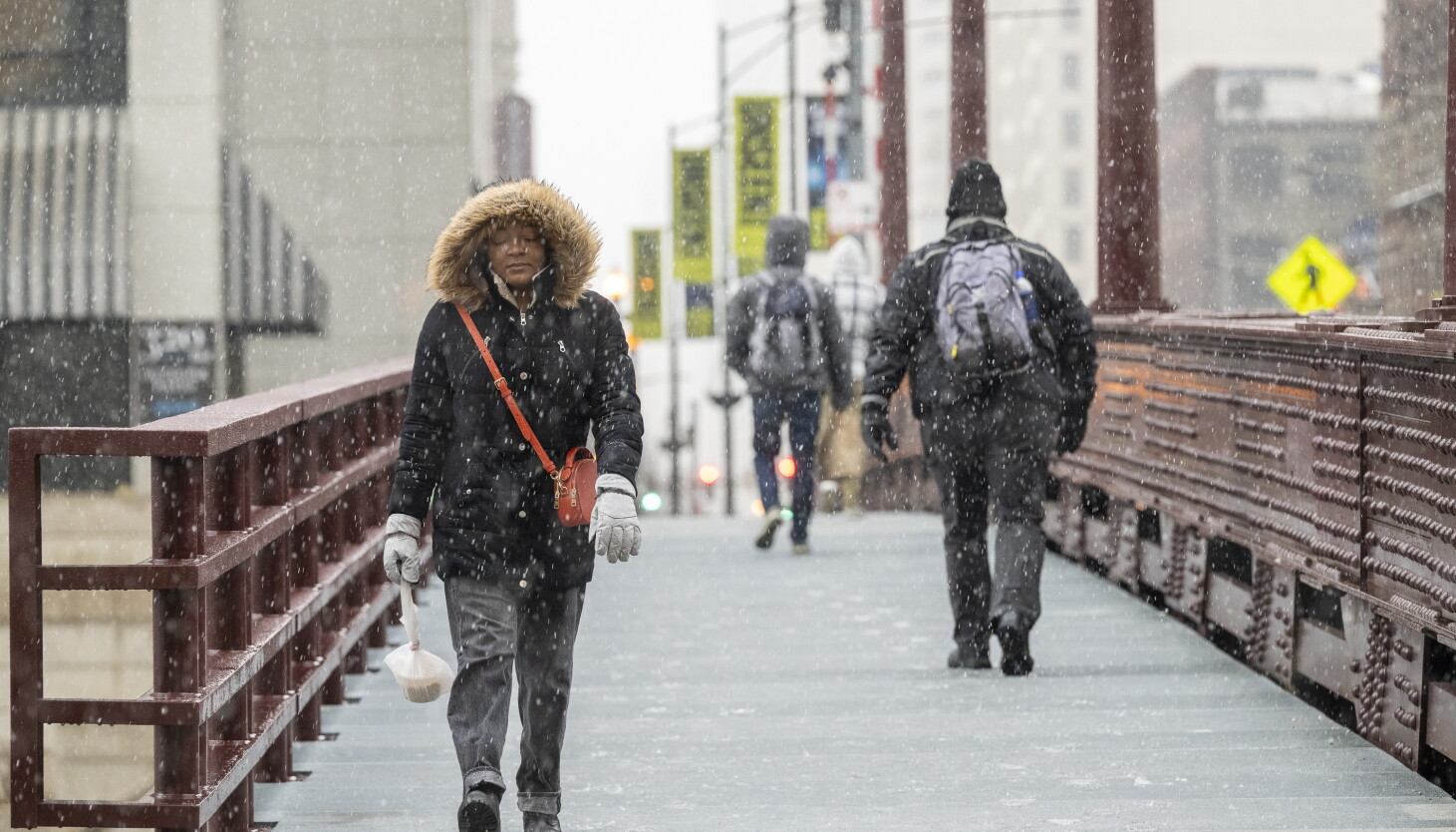
A group of people cross the Dearborn Street Bridge as snow falls in the Chicago area. It’s been a year marked by heavy rain, a record number of tornadoes and heatwaves. Then in mid-October, temperatures hit 88 degrees…
-
 FIRST ALERT| A bit of a breezy weekend ahead
After chilly start, a gorgeous afternoon is in store. Afternoon highs warm up to the upper 70s, with winds out of the northeast at 5 to 10 mph. So, expect gorgeous feels if you head outdoors for any outdoor plans…
-
 FIRST ALERT| Gorgeous weather continues after a chilly start
The stretch of gorgeous weather continues today, with a chilly start, followed by a warm afternoon. Afternoon highs near 80s degrees, with sunny skies overhead. PANAMA CITY, Fla. (WJHG/WECP) - TODAY: The stretch of…
-
 FIRST ALERT | Gorgeous October weather continues to dominate our forecast
Tune in to NewsChannel 7 at 6 p.m. for the latest in local news, weather, and sports. PANAMA CITY, Fla. (WJHG/WECP) - Good Wednesday evening everyone! TOMORROW: Thursday looks absolutely stunning with full sunshine…
-
 Sunny & more seasonal afternoons ahead
WJHG PANAMA CITY, Fla. (WJHG/WECP) - Good Wednesday afternoon everyone! It’s another beautiful day with highs even warming up a bit closer to seasonal average this afternoon. Not much has changed in the thinking for the…
Sun & moon
Nearby
- Pocrí 35 km
- Monagrillo 3 km
- Llano Bonito 1 km
- Chitré 1 km
- Las Tablas 27 km
- Aguadulce 34 km
- La Arena 5 km
- Antón 51 km
- Los Santos 3 km
- Río Hato 54 km
- Natá 43 km
- Ocú 40 km
Forecasts, observations and alerts in the United States come from the National Weather Service (NOAA); radar from NOAA's Multi-Radar Multi-Sensor system; satellite imagery from NASA's Global Imagery Browse Services (GIBS) and NOAA's GOES satellites; the map from the U.S. Geological Survey's National Map; air quality from AirNow (EPA and its partners); hurricane information from the National Hurricane Center; climate normals and records from NOAA's Regional Climate Centers (ACIS). Forecasts outside the United States and the UV index: MET Norway (CC BY 4.0); observations outside the U.S.: airport reports via NOAA's Aviation Weather Center. Place names: GeoNames (CC BY 4.0). Data are copied on a schedule and may lag the sources; for warnings that affect your safety, follow your local National Weather Service office and emergency officials. Weather news is drawn from the 4Search index and reflects what the press published. Terms of use. How to use Weather