Install
Victoria, Bay of Plenty, New Zealand Weather
Current conditions
Forecast for this hour (no station report in the last two hours)
Forecast
10-day-
Saturday
Fog. High 19°.
-
Saturday Night
Partly cloudy. Low 11°.
-
Sunday
Fog. High 18°.
MET Norway forecast updated 15 hrs ago.
Hourly
Hourly forecast- Now18°
- 18:0018°
- 19:0017°
- 20:0015°
- 21:0013°
- 22:0012°
- 23:0012°
- Sun00:0011°
- 01:0011°
- 02:0011°
- 03:0011°
- 04:0011°
- 05:0011°
- 06:0010°
- 07:0011°
- 08:0012°
- 09:0013°
- 10:0014°
- 11:0015°
- 12:0016°
- 13:0017°
- 14:0018°
- 15:0018°
- 16:0018°
Daily forecast
DetailsRadar
Full mapWeather news near Victoria
More weather news-
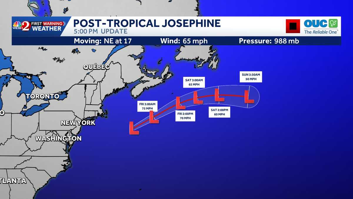 Tracking Subtropical Storm Josephine: Maps, spaghetti models
The National Hurricane Center is monitoring Post-tropical Storm Josephine in the Atlantic. >> Bookmark this page for the latest maps and models. RESOURCES | HURRICANE SEASON SPECIAL | WESH LONG-RANGE FORECAST | WHAT TO…
-
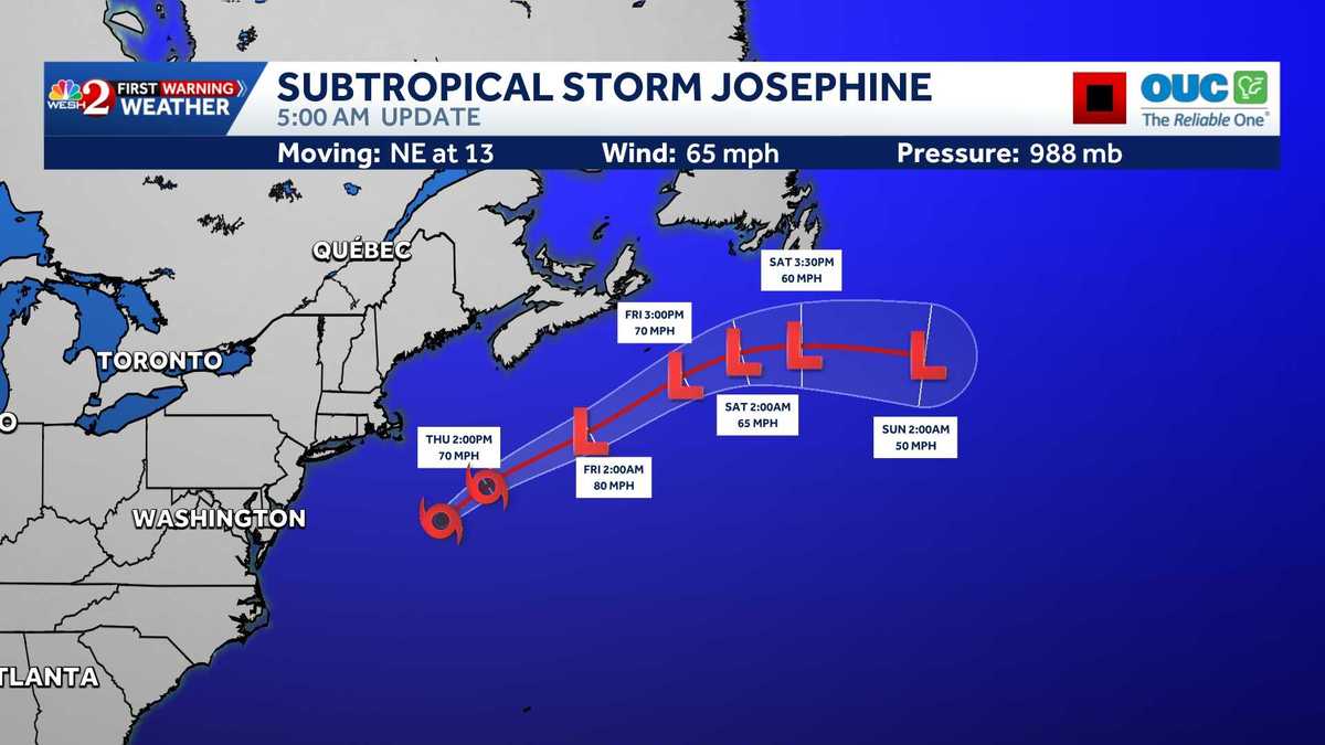 Subtropical Storm Josephine expected to become powerful extratropical cyclone, NHC says
Subtropical Storm Josephine is moving northeastward away from the United States and is expected to strengthen into a powerful extratropical cyclone, according to the National Hurricane Center. As of 11 a.m., Josephine…
-
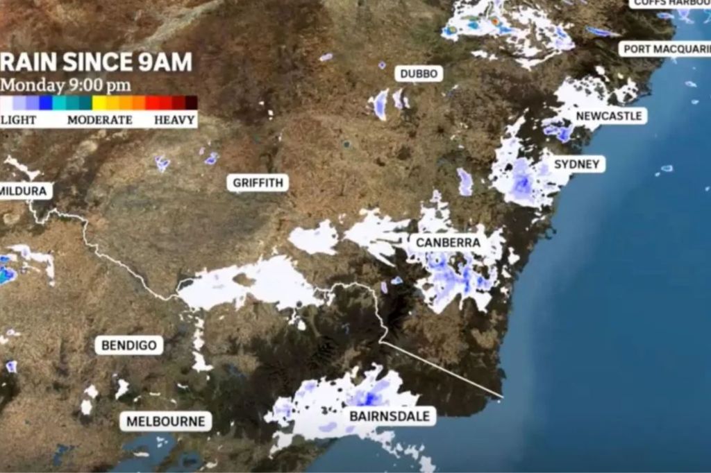 Mass moth migration bamboozles BOM weather radars
Weather bureau radars have detected an unusual weather pattern on Australia’s east coast this month — millions of moths. Swarms of bogong moths migrating south have bamboozled weather detectors, appearing on radar loops…
-
 Wet, Stormy Weather to Continue, National Forecast Says
Now for Victoria, it is going to be a warm day, but it will be humid with northerly winds that will freshen throughout the day. It'll be a mostly sunny morning, but then some cloud will start to bubble up during the…
- National weather forecast: Wet and stormy weather continues
Now for Victoria, it is going to be a warm day, but it will be humid with northerly winds that will freshen throughout the day. It’ll be a mostly sunny morning, but then some cloud will start to bubble up during the…
-
 Vancouver Island sees extremely dry October, 3% of usual rainfall in Victoria
Vancouver Island has seen an extremely dry start to October, which is historically one of the wettest months of the year. Many major communities on the Island are seeing just a fraction of their typical precipitation…
-
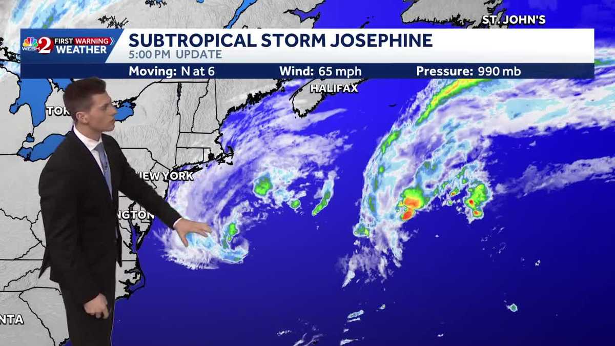 System in Atlantic upgraded to Subtropical Storm Josephine
A low-pressure system off the U.S. East Coast has been upgraded to Subtropical Storm Josephine, according to the National Hurricane Center. The system is located about 265 miles south of Nantucket, Massachusetts, and is…
-
 Aussies confused after enormous swarm of moths shows up as rain on radar
The recent swarm of moths over the NSW Central Coast is believed to have caused rain radars to show non-existent rain clouds. Residents around Sydney may have been confused over the last few weeks when they checked…
-
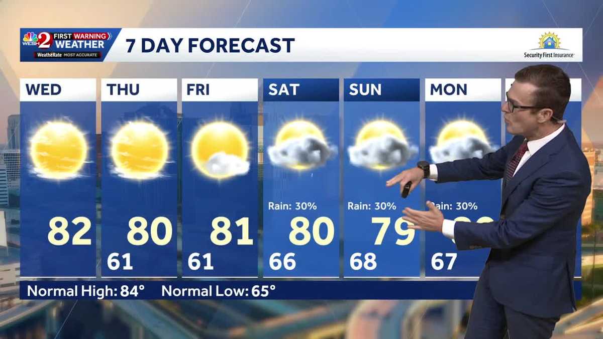 Cool this morning, mostly clear skies ahead for Central Florida
Central Florida is starting off nice and cool, with mostly clear skies expected today. High temperatures will remain around 80 degrees through the weekend, while morning lows stay in the lower 60s over the next few…
-
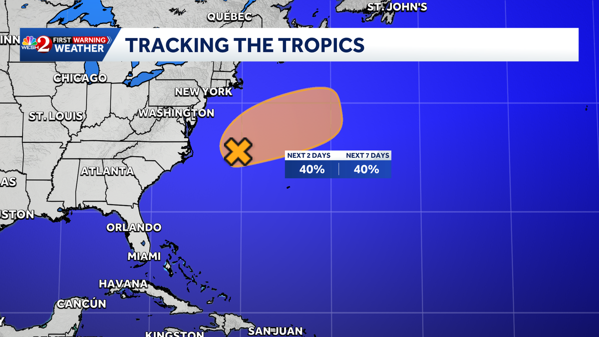 Invest 93-L has 40% chance of subtropical development in Atlantic, NHC says
A low-pressure system off the U.S. East Coast could briefly develop subtropical characteristics over the next few days, according to the National Hurricane Center. The system, designated Invest 93-L, is located a few…
Sun & moon
Nearby
Forecasts, observations and alerts in the United States come from the National Weather Service (NOAA); radar from NOAA's Multi-Radar Multi-Sensor system; satellite imagery from NASA's Global Imagery Browse Services (GIBS) and NOAA's GOES satellites; the map from the U.S. Geological Survey's National Map; air quality from AirNow (EPA and its partners); hurricane information from the National Hurricane Center; climate normals and records from NOAA's Regional Climate Centers (ACIS). Forecasts outside the United States and the UV index: MET Norway (CC BY 4.0); observations outside the U.S.: airport reports via NOAA's Aviation Weather Center. Place names: GeoNames (CC BY 4.0). Data are copied on a schedule and may lag the sources; for warnings that affect your safety, follow your local National Weather Service office and emergency officials. Weather news is drawn from the 4Search index and reflects what the press published. Terms of use.