Install
Nagarkot, Bagmati Province, Nepal Weather
Current conditions
Forecast for this hour (no station report in the last two hours)
Forecast
10-day-
Saturday
Mostly sunny. High 20°.
-
Saturday Night
Mostly clear. Low 8°.
-
Sunday
Light showers. High 20°. Precipitation 0.6 mm for the day.
MET Norway forecast updated 23 hrs ago.
Hourly
Hourly forecast- Now9°
- 04:459°
- 05:458°
- 06:459°
- 07:4512°
- 08:4514°
- 09:4516°
- 10:4518°
- 11:4519°
- 12:4520°
- 13:4520°
- 14:4520°
- 15:4519°
- 16:4517°
- 17:4515°
- 18:4514°
- 19:4512°
- 20:4511°
- 21:4511°
- 22:4511°
- 23:4511°
- Sun00:4511°
- 01:4511°
- 02:4510°
Daily forecast
DetailsRadar
Full mapWeather news near Nagarkot
More weather news-
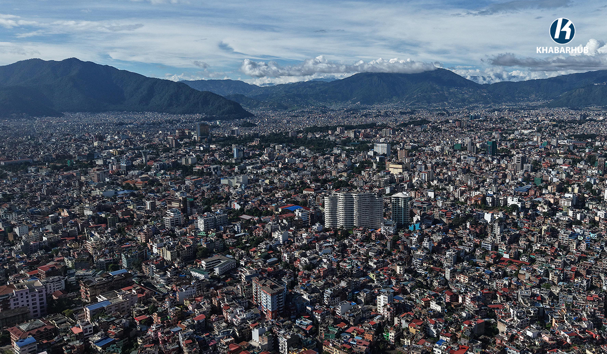 Kathmandu Valley’s minimum temperature drops to 13.5°C
KATHMANDU: Kathmandu Valley’s initial minimum temperature fell to 13.5 degrees Celsius on Thursday morning, down from 14.2 degrees Celsius recorded at the same time a day earlier, according to the Weather Forecasting…
-
 Weather in hills and mountains to remain partly cloudy; Terai mostly clear
KATHMANDU, Oct. 22: Nepal is currently experiencing post-monsoon weather, with some influence from westerly winds. According to the latest report from the Meteorological Forecasting Division, the hilly and mountainous…
-
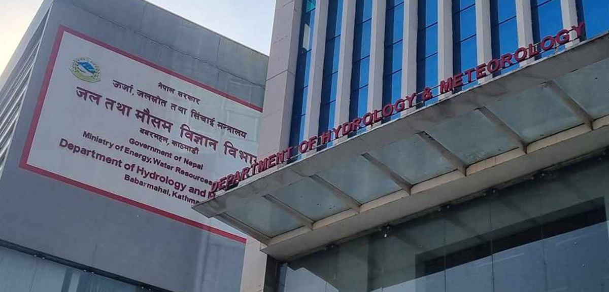 Nepal sees post-monsoon weather, mountain snowfall likely
According to the latest bulletin issued by the Weather Forecasting Division, the hilly and mountainous regions are experiencing partly cloudy conditions, while most parts of the Terai are expected to remain generally…
-
 Western Wind Affects Nepal, Partial Cloudiness Expected
Kathmandu. Currently, there is a partial influence of the westerly wind in the country, the Department of Hydrology and Meteorology, Meteorological Forecasting Division has informed.Currently, there is partial…
- Western Wind Affects Parts of Nepal, Light Rain/Snow Possible
Kathmandu. The Meteorological Forecasting Division has stated that the western wind is currently having a partial effect in the country. Due to its influence, there is partial cloudiness in the hilly and mountainous…
-
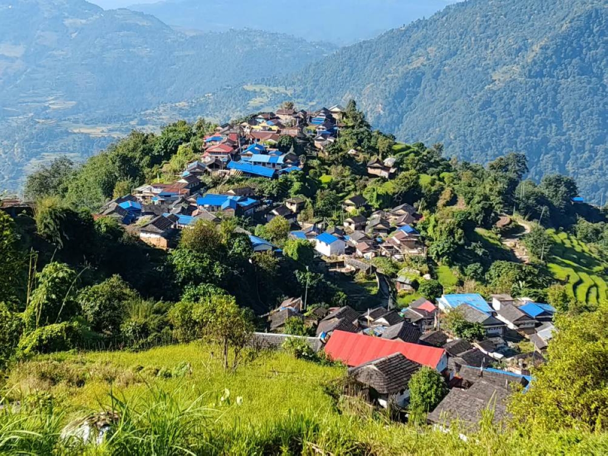 Rain, thunderstorms possible in Himalayan and hilly regions on Monday
Light rain and snowfall accompanied by thunder and lightning are possible at isolated places in Nepal's Himalayan region and the hilly areas of Koshi, Bagmati and Gandaki provinces on Monday, according to the…
- Weather Forecast: Partial Cloudiness in Himalayan and Hilly Regions
Kathmandu. Currently, there is a partial influence of westerly winds in Nepal.Due to its effect, there has been partial cloudiness in the Himalayan and hilly regions of the country, the Department of Hydrology and…
-
 Partial cloud cover and light rain expected in several provinces today
Desh Sanchar– Breaking News, headlines, multimedia, opinion, politics, business, education, travel, Nepal news & more at deshsanchar.com. Partial cloud cover and light rain expected in several provinces today Kathmandu…
-
 Weather Forecast: Partial Cloudiness in Himalayas and Hills, Clear in Terai
Kathmandu. Currently, there is a partial influence of westerly winds in the country. According to the Meteorological Forecasting Division, due to this influence, there is partial cloudiness in the Himalayan and hilly…
- Dashain weather to remain mostly clear, rainfall likely in hills
KATHMANDU, Oct 17: Most parts of Nepal are expected to enjoy favorable weather during Dashain, offering relief to people traveling home and celebrating the festival. However, some hilly and mountainous areas could see…
Sun & moon
Nearby
- Kathmandu 20 km
- Pātan 21 km
- Hetauda 58 km
- Madhyapur Thimi 14 km
- Banepā 9 km
- Chautārā 20 km
- Panauti 15 km
- Ki̇̄rtipur 24 km
- Chari̇̄koṭ 53 km
- Panauti̇̄ 15 km
- Dhulikhel 11 km
- Chapali̇̄ Bhaḍrakāli̇̄ 16 km
Forecasts, observations and alerts in the United States come from the National Weather Service (NOAA); radar from NOAA's Multi-Radar Multi-Sensor system; satellite imagery from NASA's Global Imagery Browse Services (GIBS) and NOAA's GOES satellites; the map from the U.S. Geological Survey's National Map; air quality from AirNow (EPA and its partners); hurricane information from the National Hurricane Center; climate normals and records from NOAA's Regional Climate Centers (ACIS). Forecasts outside the United States and the UV index: MET Norway (CC BY 4.0); observations outside the U.S.: airport reports via NOAA's Aviation Weather Center. Place names: GeoNames (CC BY 4.0). Data are copied on a schedule and may lag the sources; for warnings that affect your safety, follow your local National Weather Service office and emergency officials. Weather news is drawn from the 4Search index and reflects what the press published. Terms of use.