Install
Sintok, Kedah, Malaysia Weather
Current conditions
Forecast for this hour (no station report in the last two hours)
Forecast
10-day-
Thursday
Heavy rain. High 30°. Precipitation 8.7 mm for the day.
-
Thursday Night
Light rain. Low 23°. Precipitation 8.7 mm for the day.
-
Friday
Heavy rain. High 29°. Precipitation 11.8 mm for the day.
MET Norway forecast updated 1 day ago.
Hourly
Hourly forecast- Now26°0.2
- 18:0026°0.2
- 19:0026°
- 20:0025°
- 21:0025°
- 22:0025°
- 23:0025°
- Fri00:0025°
- 01:0025°
- 02:0024°
- 03:0024°
- 04:0024°
- 05:0024°
- 06:0024°
- 07:0024°
- 08:0025°
- 09:0026°
- 10:0027°
- 11:0029°
- 12:0029°0.9
- 13:0028°1.1
Daily forecast
DetailsRadar
Full mapWeather news in Malaysia
More weather news-
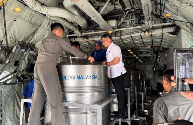 Haze: Cloud seeding carried out in Johor on two areas
JOHOR BARU: Cloud seeding operations in Johor on Tuesday (Oct 20) focused specifically on two key areas: the stretch between Yong Peng (Batu Pahat) and Machap (Kluang), as well as the area from Mersing to Kota Tinggi…
-
 Haze clouds outlook
KLSE Screener PETALING JAYA: The worsening haze is expected to weigh on businesses across several sectors, particularly agriculture and tourism, although economists believe its impact on Malaysia’s overall economic…
-
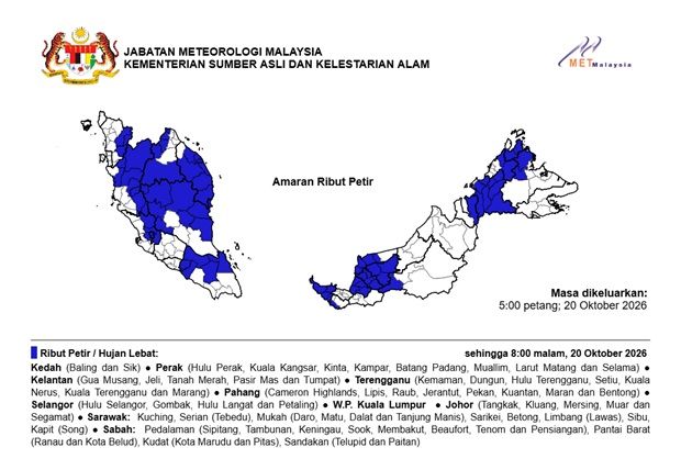 MetMalaysia: Thunderstorms, severe weather expected in nine states and KL until 8pm on Oct 20
The Star MetMalaysia: Thunderstorms, severe weather expected in nine states and KL until 8pm on Oct 20 PETALING JAYA: Thunderstorms and heavy rains are expected in several states in the country until 8pm on Tuesday (Oct…
-
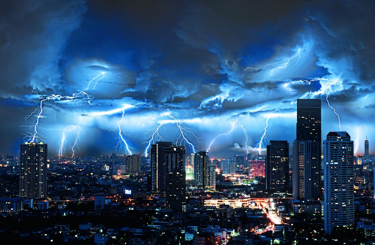 Thunderstorms and heavy rain forecast for 13 states, KL and Putrajaya until 5pm
PETALING JAYA: The Malaysian Meteorological Department (MetMalaysia) has issued a warning of thunderstorms, heavy rain and strong winds across 13 states and two Federal Territories, effective until 5pm on Saturday (Oct…
-
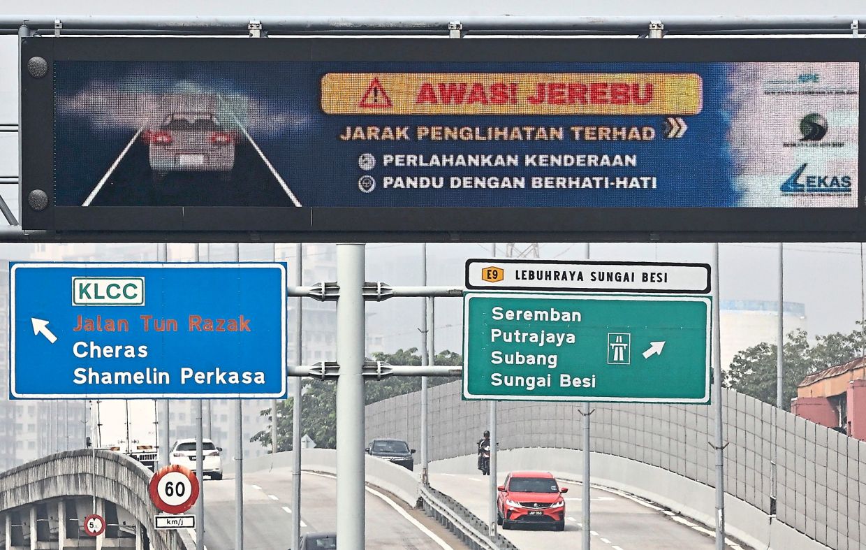 Alert Level 3 in parts of South-East Asia
PETALING JAYA: The Asean Specialised Meteorological Centre (ASMC) has issued Alert Level 3 for southern South-East Asia, signalling a high risk of severe transboundary haze as dry weather and widespread hotspots…
- ASEAN Meteorological Centre activates highest alert level over haze — Asharq Al-Awsat
The ASEAN Specialized Meteorological Centre has activated a level-three alert for the southern part of the region due to thick smoke from fires in Indonesia. The haze is disrupting daily life in several Southeast Asian…
-
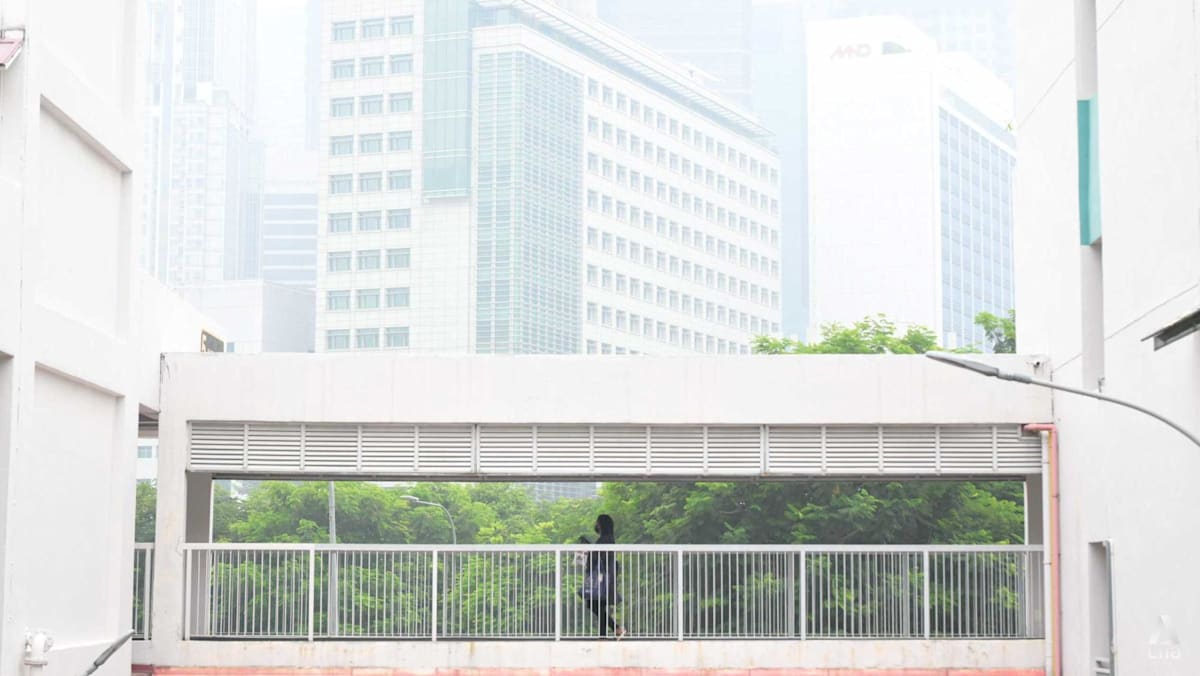 Singapore haze: PM2.5 readings climb into high band in four regions
SINGAPORE: One-hour PM2.5 levels climbed into the high band in four regions of Singapore on Saturday (Oct 17), even as the overall haze situation appeared to have eased from Friday's highs. At 4pm, the 1-hour PM2.5…
- Signs point to intense El Nino in Asia-Pacific region
The temperature of a key Pacific Ocean region used to monitor El Nino conditions reached an all-time high in September, underscoring the exceptional intensity of the current weather pattern. Experts in the Asia-Pacific…
-
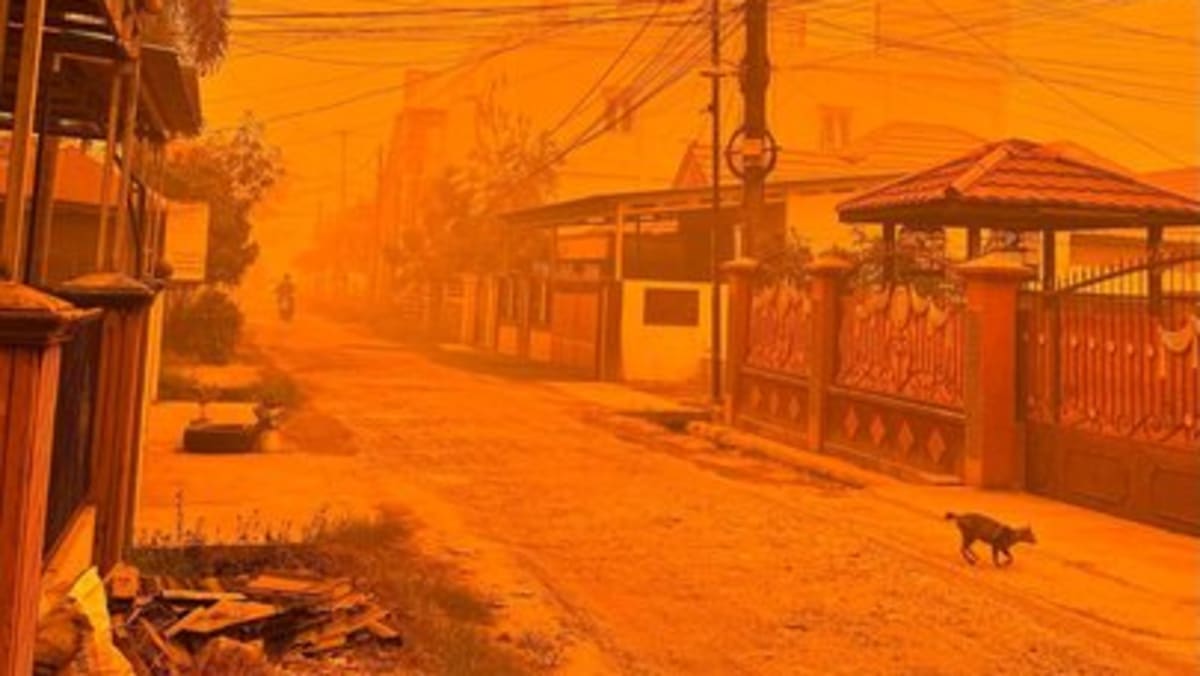 Orange skies as PM2.5 exceeds 3,000 in Central Kalimantan on Oct 14
PM2.5 levels soared as high as 3,340 in Palangkaraya, the capital of Indonesia's Central Kalimantan province, at 1pm on Wednesday (Oct 14), as thick orange haze continued to blanket the region. Forest fires have…
-
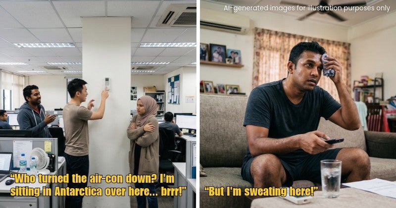 Always Fighting Over the Air-Con Temperature at Home or Work? Here’s Why
Every Malaysian office seems to have two types of people: the one wrapped in a jacket like they’re holidaying in Genting Highlands, and the one complaining that the air-con isn’t cold enough. “Eh, can make the air-con…
Sun & moon
Nearby
- Alor Setar 40 km
- Pendang 50 km
- Kangar 36 km
- Jitra 22 km
- Sadao 24 km
- Kampung Alor Mengkudu 42 km
- Satun 54 km
- Tokai 48 km
- Kampung Hutan Arau 27 km
- Pokok Sena 30 km
- Kuala Kedah 45 km
- Changloon 10 km
Forecasts, observations and alerts in the United States come from the National Weather Service (NOAA); radar from NOAA's Multi-Radar Multi-Sensor system; satellite imagery from NASA's Global Imagery Browse Services (GIBS) and NOAA's GOES satellites; the map from the U.S. Geological Survey's National Map; air quality from AirNow (EPA and its partners); hurricane information from the National Hurricane Center; climate normals and records from NOAA's Regional Climate Centers (ACIS). Forecasts outside the United States and the UV index: MET Norway (CC BY 4.0); observations outside the U.S.: airport reports via NOAA's Aviation Weather Center. Place names: GeoNames (CC BY 4.0). Data are copied on a schedule and may lag the sources; for warnings that affect your safety, follow your local National Weather Service office and emergency officials. Weather news is drawn from the 4Search index and reflects what the press published. Terms of use.