Install
Labis, Johor, Malaysia Weather
Current conditions
Forecast for this hour (no station report in the last two hours)
Forecast
10-day-
Sunday
Heavy rain. High 30°. Precipitation 19.7 mm for the day.
-
Sunday Night
Heavy rain. Low 24°. Precipitation 19.7 mm for the day.
-
Monday
Heavy rain. High 27°. Precipitation 9.4 mm for the day.
MET Norway forecast updated 1 day ago.
Hourly
Hourly forecast- Now24°
- 04:0024°
- 05:0024°
- 06:0024°0.2
- 07:0024°0.2
- 08:0024°
- 09:0025°
- 10:0027°
- 11:0028°0.2
- 12:0030°0.6
- 13:0030°5.9
- 14:0025°5.2
- 15:0025°1.6
- 16:0026°0.3
- 17:0026°1.8
- 18:0025°1.2
- 19:0025°0.6
- 20:0025°0.2
- 21:0025°0.3
- 22:0024°0.6
- 23:0024°0.8
- Mon00:0024°1.1
- 01:0023°1.1
- 02:0023°0.6
Daily forecast
DetailsRadar
Full mapWeather news near Labis
More weather news- El Niño Storm | National City, CA
El Niño is a climate pattern associated with warmer-than-average ocean temperatures in the central and eastern tropical Pacific Ocean. These conditions can influence weather patterns and may contribute to periods of…
-
 Kedah, Penang, Perak, Melaka, Johor and Sarawak put on thunderstorm alert, Malaysia News
KUALA LUMPUR — The Malaysian Meteorological Department (MetMalaysia) has sounded a midday thunderstorm advisory for multiple states across Peninsular Malaysia and Sarawak, warning of torrential rain, lightning, and…
-
 Singapore haze: Air quality in west and central hits unhealthy range as PM2.5 readings rise islandwide
SINGAPORE: Air quality in western and central Singapore entered the unhealthy range on Friday (Oct 23), as hourly PM2.5 readings rose across the island. The 24-hour Pollutant Standards Index (PSI) in the west reached…
-
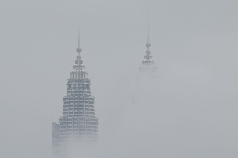 Thunderstorms to lash Klang Valley, Penang, and six other states tonight
KUALA LUMPUR, Oct 22 — The Malaysian Meteorological Department (MetMalaysia) has issued a severe thunderstorm warning, forecasting heavy rain and strong winds across several states and federal territories until 9 pm…
-
 Haze: Cloud seeding carried out in Johor on two areas
JOHOR BARU: Cloud seeding operations in Johor on Tuesday (Oct 20) focused specifically on two key areas: the stretch between Yong Peng (Batu Pahat) and Machap (Kluang), as well as the area from Mersing to Kota Tinggi…
-
 Haze clouds outlook
KLSE Screener PETALING JAYA: The worsening haze is expected to weigh on businesses across several sectors, particularly agriculture and tourism, although economists believe its impact on Malaysia’s overall economic…
-
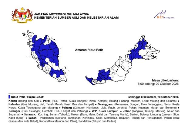 MetMalaysia: Thunderstorms, severe weather expected in nine states and KL until 8pm on Oct 20
The Star MetMalaysia: Thunderstorms, severe weather expected in nine states and KL until 8pm on Oct 20 PETALING JAYA: Thunderstorms and heavy rains are expected in several states in the country until 8pm on Tuesday (Oct…
Sun & moon
Nearby
- Kluang 51 km
- Batu Pahat 60 km
- Pagoh 38 km
- Parit Sulung 48 km
- Segamat 27 km
- Bukit Gambir 45 km
- Tangkak 54 km
- Gerisek 40 km
- Taman Pelangi 38 km
- Bakri 56 km
- Gemas 51 km
- Yong Peng 42 km
Forecasts, observations and alerts in the United States come from the National Weather Service (NOAA); radar from NOAA's Multi-Radar Multi-Sensor system; satellite imagery from NASA's Global Imagery Browse Services (GIBS) and NOAA's GOES satellites; the map from the U.S. Geological Survey's National Map; air quality from AirNow (EPA and its partners); hurricane information from the National Hurricane Center; climate normals and records from NOAA's Regional Climate Centers (ACIS). Forecasts outside the United States and the UV index: MET Norway (CC BY 4.0); observations outside the U.S.: airport reports via NOAA's Aviation Weather Center. Place names: GeoNames (CC BY 4.0). Data are copied on a schedule and may lag the sources; for warnings that affect your safety, follow your local National Weather Service office and emergency officials. Weather news is drawn from the 4Search index and reflects what the press published. Terms of use.