Install
Señor, Quintana Roo, Mexico Weather
Current conditions
Forecast for this hour (no station report in the last two hours)
Forecast
10-day-
Wednesday
Heavy rain. High 30°. Precipitation 2.9 mm for the day.
-
Wednesday Night
Light showers. Low 23°. Precipitation 2.9 mm for the day.
-
Thursday
Light showers. High 30°. Precipitation 0.7 mm for the day.
MET Norway forecast updated 15 hrs ago.
Hourly
Hourly forecast- Now26°
- 10:0028°
- 11:0029°
- 12:0030°
- 13:0030°1.1
- 14:0027°0.9
- 15:0027°0.4
- 16:0027°
- 17:0027°0.2
- 18:0026°
- 19:0025°
- 20:0024°
- 21:0024°
- 22:0024°
- 23:0023°
- Thu00:0023°
- 01:0023°
- 02:0022°
- 03:0022°
- 04:0022°
- 05:0022°
- 06:0022°
- 07:0022°
- 08:0024°
Daily forecast
DetailsRadar
Full mapWeather news near Señor
More weather news-
 Spotty showers possible through tonight, warming through the week
WIBW Spotty showers possible through tonight, warming through the week Ted Ensley: 46 years behind home plate for charitable Hogball WIBW wins KAB Station of the Year, several other awards President Trump shows support…
-
 Beautiful fall weather continues on Tuesday, with a cool start to the day
WPXI Beautiful fall weather continues on Tuesday, with a cool start to the day PITTSBURGH â Picture-perfect fall weather continues with crisp, cool nights and warmer, sun-filled days. Temperatures will swing more than…
-
 Sunshine again Tuesday
KTEN Here's your Monday night forecast from Chief Meteorologist Mandy Bailey. - Sherman has their backs against the wall in the second-to-last district game - Trump uses antisemitic term âShylockâ while defending…
-
 Quakertown food pantry, police association to give out free turkeys at Memorial Park
WFMZ.com (1 of 7) Upper Bucks County: Frost Advisory from MON 1:00 AM EDT until MON 9:00 AM EDT (2 of 7) Western Montgomery County: Frost Advisory from MON 1:00 AM EDT until MON 9:00 AM EDT (3 of 7) Lower Bucks County…
-
 Above average temperatures for much of the work week before rain chances return next weekend
www.knopnews2.com Friday Through The Weekend: Temperatures stay in the upper 70’s to low 80’s Friday afternoon. Strong winds around 20 to 30 mph are expected with gusts up to 40 mph are possible. A cold front is…
-
 Warmer and dry weather expected as we head into next week
Dry and warmer weather expected into the new week. Rain chances return next weekend. HASTINGS, Neb. (KSNB) - Good evening! After some early morning frost and freeze temperatures warmed back into the low to mid 60’s…
-
 First Alert: Get ready for a chilly and windy end to the work week
Another day of near record heat here in the Mid-South, but change is coming. A cold front will usher in the coldest air of the season as the work week comes to a close. We’ll go from well above average temperatures to…
-
 Cold Front Alert: A weekend cold front will bring cool and breezy conditions to Central Florida.
WKMG Cold Front Alert: A weekend cold front will bring cool and breezy conditions to Central Florida. Ex-US Sen. Mel Martinez, a Republican, endorses Democrat Bale Dalton in House District 7 race MICHELLE PARKER CASE…
-
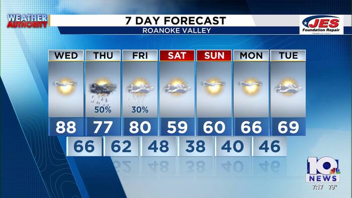 Southwest, Central Virginia Weather | 7 p.m. - Oct. 13, 2026
WSLS Southwest, Central Virginia Weather | 7 p.m. - Oct. 13, 2026 Here's a look at your forecast! Sen. Warner presents $1 million check to help turn former school building into community center U.S. Sen. Mark Warner…
-
 Heavy rain could bring flash flooding to New Mexico, southwest Colorado through Friday
KRQE A strong storm system will bring widespread rain to New Mexico and southwest Colorado starting Wednesday, with several inches of rain possible in some areas through Friday Heavy rainfall could lead to flash…
Sun & moon
Nearby
- Felipe Carrillo Puerto 31 km
- Tihosuco 46 km
- Chunhuhub 56 km
- Tepich 46 km
- Saban 47 km
Forecasts, observations and alerts in the United States come from the National Weather Service (NOAA); radar from NOAA's Multi-Radar Multi-Sensor system; satellite imagery from NASA's Global Imagery Browse Services (GIBS) and NOAA's GOES satellites; the map from the U.S. Geological Survey's National Map; air quality from AirNow (EPA and its partners); hurricane information from the National Hurricane Center; climate normals and records from NOAA's Regional Climate Centers (ACIS). Forecasts outside the United States and the UV index: MET Norway (CC BY 4.0); observations outside the U.S.: airport reports via NOAA's Aviation Weather Center. Place names: GeoNames (CC BY 4.0). Data are copied on a schedule and may lag the sources; for warnings that affect your safety, follow your local National Weather Service office and emergency officials. Weather news is drawn from the 4Search index and reflects what the press published. Terms of use.