Install
Hidalgo, Nuevo León, Mexico Weather
Current conditions
Forecast for this hour (no station report in the last two hours)
Forecast
10-day-
Sunday
Heavy rain. High 22°. Precipitation 15.1 mm for the day.
-
Sunday Night
Rain. Low 19°. Precipitation 15.1 mm for the day.
-
Monday
Rain. High 23°. Precipitation 7.1 mm for the day.
MET Norway forecast updated 4 days ago.
Daily forecast
DetailsRadar
Full mapWeather news near Hidalgo
More weather news-
 Rain and low temperatures ranging from 0 to 5 degrees in Mexico City this weekend: these will be the most affected areas
After several sunny days, the cold will return to Mexico City this weekend—here’s the full forecast Take precautions because we’ll have low temperatures this weekend! According to the Mexico City weather forecast, we’ll…
-
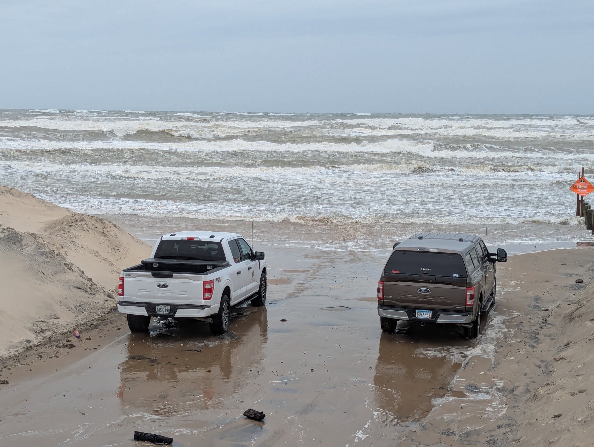 Powerful cold front puts Texas coast on alert for dangerous surf
High surf conditions caused waves to up to the road at Boca Chica Beach in December 2025, prompting Cameron County officials to temporarily close that and other county-owned beach accesses. A strong cold front is…
-
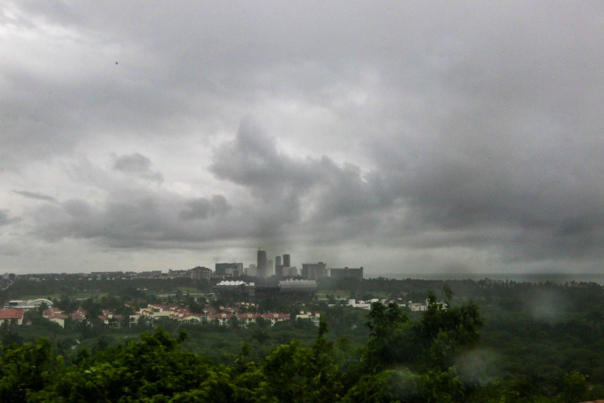 Hurricane Trudy and a cold front are approaching Mexico: they will bring rain, low temperatures, and strong winds
This weekend, heavy rain and strong winds are expected across much of the country, along with low temperatures: authorities are urging the public to exercise extreme caution Hurricane Trudy is approaching Mexico, and…
-
 ABC-7 First Alert Continues: Strong Backdoor Cold Front Brings Very Strong Winds, Sharp Temperature Drop to the Borderland
A powerful cold front is moving into the Borderland tonight, bringing a dramatic shift in winds, much colder temperatures and the potential for blowing dust across parts of the region. The cold front is expected to…
- Wednesday, Oct. 14, 2026: Isolated showers with highs in the 90s
Download our free KRGV FIRST WARN 5 Weather app for the latest updates right on your phone. Wednesday, Oct. 14, 2026: Isolated showers with highs in the 90s You can also follow our KRGV First Warn 5 Weather team on…
-
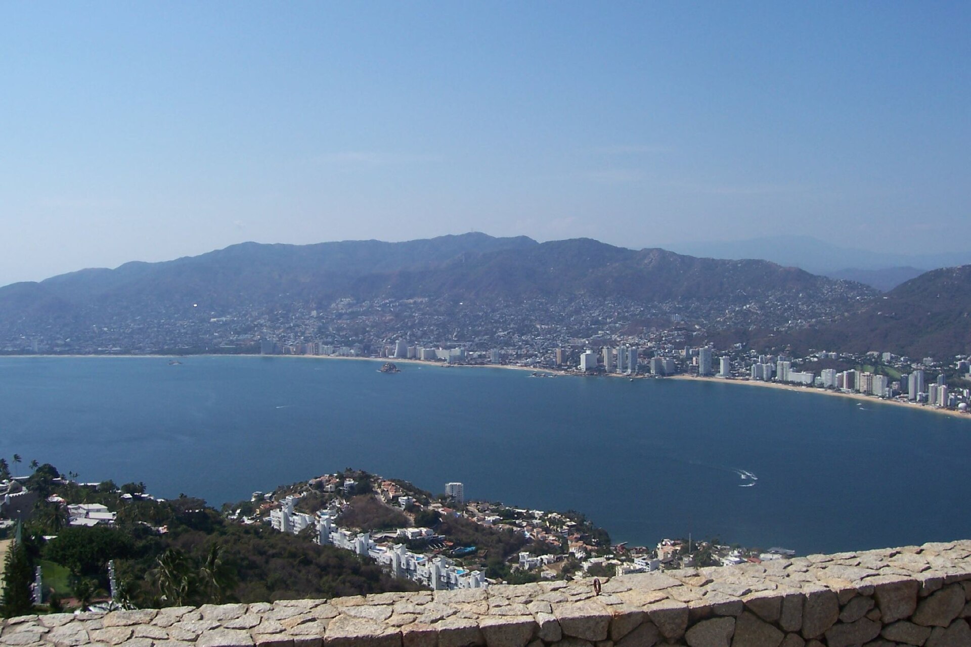 Category 2 Hurricane Vance Churns Off Mexico
Hurricane Vance, a Category 2 storm in the Pacific Ocean, was about 365 miles (590 km) south-southwest of Acapulco, Mexico, at 3 am Mexico time on Saturday 24 October 2026, the US National Hurricane Center said. No…
-
 Severe storms threaten central New Mexico through weekend
Central New Mexico can expect some intense, scattered thunderstorms starting Friday night and lasting throughout the weekend. Storms in the late afternoon and early evening Friday could become "strong to severe," with…
-
 Vance could be a major Category 3 hurricane Friday as it nears Mexico
Vance has become a hurricane off the coast of Mexico MIAMI — Vance became a hurricane Friday and the National Hurricane Center said it would strengthen rapidly as it nears Mexico’s Pacific Coast. Vance was a Category 1…
-
 Vance Intensifies Rapidly and Could Become a Major Category 3 Hurricane Off Mexico’s Pacific Coast
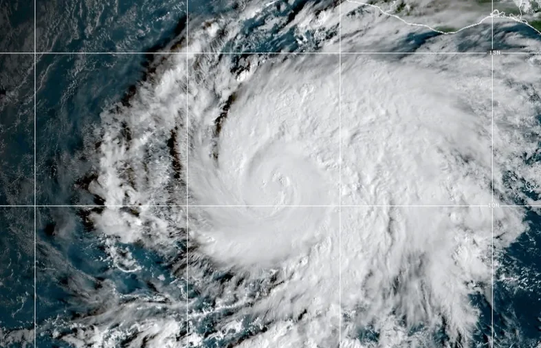
MIAMI—Hurricane Vance rapidly strengthened into a Category 2 storm Friday as it neared Mexico’s Pacific Coast, the National Hurricane Center said. Vance had maximum sustained winds of 105 mph (170 kph) as it churned…
-
 With Hurricane Off Mexico Sharing Name With Vice President JD Vance, the Social Media Memes Fly
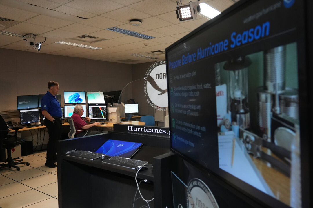
As Vice President JD Vance travels the U.S. supporting Republican candidates in next month’s election, another Vance is on a whirlwind tour off Mexico’s Pacific Coast. The storm named Vance that strengthened into a…
Sun & moon
Nearby
- Monterrey 35 km
- Guadalupe 38 km
- Ciudad Apodaca 34 km
- Ciudad General Escobedo 24 km
- San Nicolás de los Garza 30 km
- Ciudad Benito Juárez 51 km
- Santa Catarina 33 km
- San Pedro Garza García 35 km
- García 23 km
- Jardines de la Silla 46 km
- Fraccionamiento Real Palmas 30 km
- Parque Industrial Ciudad Mitras 20 km
Forecasts, observations and alerts in the United States come from the National Weather Service (NOAA); radar from NOAA's Multi-Radar Multi-Sensor system; satellite imagery from NASA's Global Imagery Browse Services (GIBS) and NOAA's GOES satellites; the map from the U.S. Geological Survey's National Map; air quality from AirNow (EPA and its partners); hurricane information from the National Hurricane Center; climate normals and records from NOAA's Regional Climate Centers (ACIS). Forecasts outside the United States and the UV index: MET Norway (CC BY 4.0); observations outside the U.S.: airport reports via NOAA's Aviation Weather Center. Place names: GeoNames (CC BY 4.0). Data are copied on a schedule and may lag the sources; for warnings that affect your safety, follow your local National Weather Service office and emergency officials. Weather news is drawn from the 4Search index and reflects what the press published. Terms of use.