Install
Ayotzintepec, Oaxaca, Mexico Weather
Current conditions
Forecast for this hour (no station report in the last two hours)
Forecast
10-day-
Friday
Light showers. High 29°. Precipitation 0.3 mm for the day.
-
Friday Night
Light rain. Low 19°. Precipitation 0.3 mm for the day.
-
Saturday
Rain. High 29°. Precipitation 3.5 mm for the day.
MET Norway forecast updated 1 day ago.
Hourly
Hourly forecast- Now19°
- 05:0020°
- 06:0020°
- 07:0020°
- 08:0022°
- 09:0024°
- 10:0026°
- 11:0027°
- 12:0028°
- 13:0029°
- 14:0029°
- 15:0028°
- 16:0027°
- 17:0026°
- 18:0024°
- 19:0023°
- 20:0022°
- 21:0022°
- 22:0022°
- 23:0022°
Daily forecast
DetailsRadar
Full mapWeather news in Mexico
More weather news-
 Vance becomes a hurricane as it churns off the coast of Mexico
This satellite image from the National Oceanic and Atmospheric Administration shows Tropical Storm Vance strengthening in the Pacific Ocean on Wednesday, Oct. 21, 2026. - Football playoff match-ups announced for…
-
 Vance to become 11th major eastern Pacific hurricane this season. Will it turn toward Mexico?
Vance is forecast to rapidly strengthen into a major hurricane, with a dangerous landfall in Mexico possible as one scenario. A separate storm in the tropical Pacific could bring rain to Hawaii in late October…
-
 Tornado watch and flood threat in western New Mexico Thursday night
ALBUQUERQUE, N.M. – A tornado watch and flood watch cover western New Mexico as strong storms threaten damaging winds, large hail, torrential rain and a possible tornado. A strong Pacific storm system moved into…
- Tracking severe weather in New Mexico
Severe weather is moving through New Mexico prompting a tornado watch for western New Mexico and a severe thunderstorm watch for Albuquerque. 5:13 pm - Evacuations have been suggested for areas along the San Juan River…
-
 Flood watches issued as Arizona storms spill into New Mexico
Storms that brought heavy rain, egg-sized hail and tornadoes to Arizona on Wednesday struck western New Mexico by the afternoon, generating flood watches set to remain in effect through Friday. Forecasters told the…
-
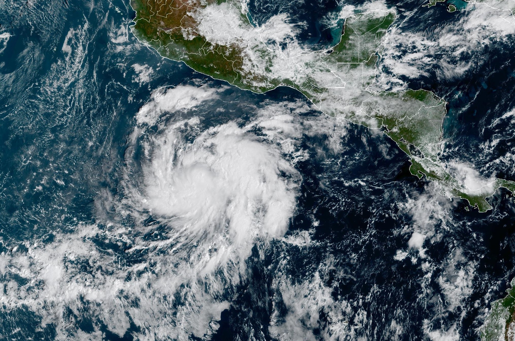 Tropical Storm Vance forms near Mexico. Will it affect Texas?
From there, some weather models show that moisture from Vance could move into parts of South Texas, bringing enhanced rain chances to places like the Rio Grande Valley, San Antonio, and Corpus Christi. Exactly when…
- Severe Thunderstorm Watch issued for Albuquerque and central New Mexico
CURRENT CONDITIONS | CURRENT WATCHES AND WARNINGS | LIVE RADAR | UPLOAD YOUR WEATHER PHOTOS | TURN ON WEATHER NOTIFICATIONS The National Weather Service has issued a severe thunderstorm watch for Bernalillo, Los Alamos…
-
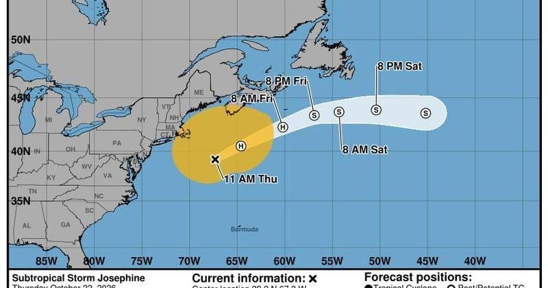 Storm Josephine spins out in Atlantic, Tropical Storm Vance heads to Mexico
The forecast track of Subtropical Storm Josephine shows it heading out into the North Atlantic Ocean as an extratropical storm over the next few days. Tropical Storm Vance is forecast to strengthen into a hurricane and…
- Tropical Storm Vance Expected To Become Major Hurricane Near Mexico
700WLW Tropical Storm Vance is forecast to intensify rapidly and could become a major hurricane as it approaches the southwestern coast of Mexico next week. As of Thursday (October 22), Vance was located about 500 miles…
- Tornado watch issued for parts of western New Mexico
A tornado watch has been issued for parts of western New Mexico through Thursday evening. The tornado watch includes San Juan, Catron, Cibola, Grant, Hidalgo and McKinley Counties. The cities of Farmington, Crownpoint…
Sun & moon
Nearby
- Tuxtepec 46 km
- Loma Bonita 55 km
- Playa Vicente 38 km
- San Lucas Ojitlán 51 km
- San Juan Bautista Valle Nacional 22 km
- San Felipe Usila 48 km
- Gabino Barreda 56 km
- Otatitlán 57 km
- San José Chiltepec 31 km
- San Bartolo 47 km
- Benemérito Juárez 52 km
- Lindavista 60 km
Forecasts, observations and alerts in the United States come from the National Weather Service (NOAA); radar from NOAA's Multi-Radar Multi-Sensor system; satellite imagery from NASA's Global Imagery Browse Services (GIBS) and NOAA's GOES satellites; the map from the U.S. Geological Survey's National Map; air quality from AirNow (EPA and its partners); hurricane information from the National Hurricane Center; climate normals and records from NOAA's Regional Climate Centers (ACIS). Forecasts outside the United States and the UV index: MET Norway (CC BY 4.0); observations outside the U.S.: airport reports via NOAA's Aviation Weather Center. Place names: GeoNames (CC BY 4.0). Data are copied on a schedule and may lag the sources; for warnings that affect your safety, follow your local National Weather Service office and emergency officials. Weather news is drawn from the 4Search index and reflects what the press published. Terms of use.