Install
Diré, Tombouctou, Mali Weather
Current conditions
Forecast for this hour (no station report in the last two hours)
Forecast
10-day-
Tuesday
Partly cloudy. High 41°.
-
Tuesday Night
Mostly clear. Low 32°.
-
Wednesday
Partly cloudy. High 40°.
MET Norway forecast updated 9 hrs ago.
Hourly
Hourly forecast- Now36°
- 20:0035°
- 21:0034°
- 22:0033°
- 23:0032°
- Wed00:0032°
- 01:0031°
- 02:0030°
- 03:0029°
- 04:0029°
- 05:0028°
- 06:0027°
- 07:0028°
- 08:0031°
- 09:0034°
- 10:0036°
- 11:0038°
- 12:0039°
- 13:0040°
- 14:0040°
- 15:0040°
- 16:0040°
- 17:0039°
- 18:0037°
Daily forecast
DetailsRadar
Full mapWeather news near Diré
More weather news-
 First Alert: A week of dry and warmer than average weather
High pressure is parked over the Ohio Valley keeping the Mid-South dry as the work week begins and will lead to warmer temperatures due to the dry conditions. The Action News 5 coverage area is in dire need of rain and…
-
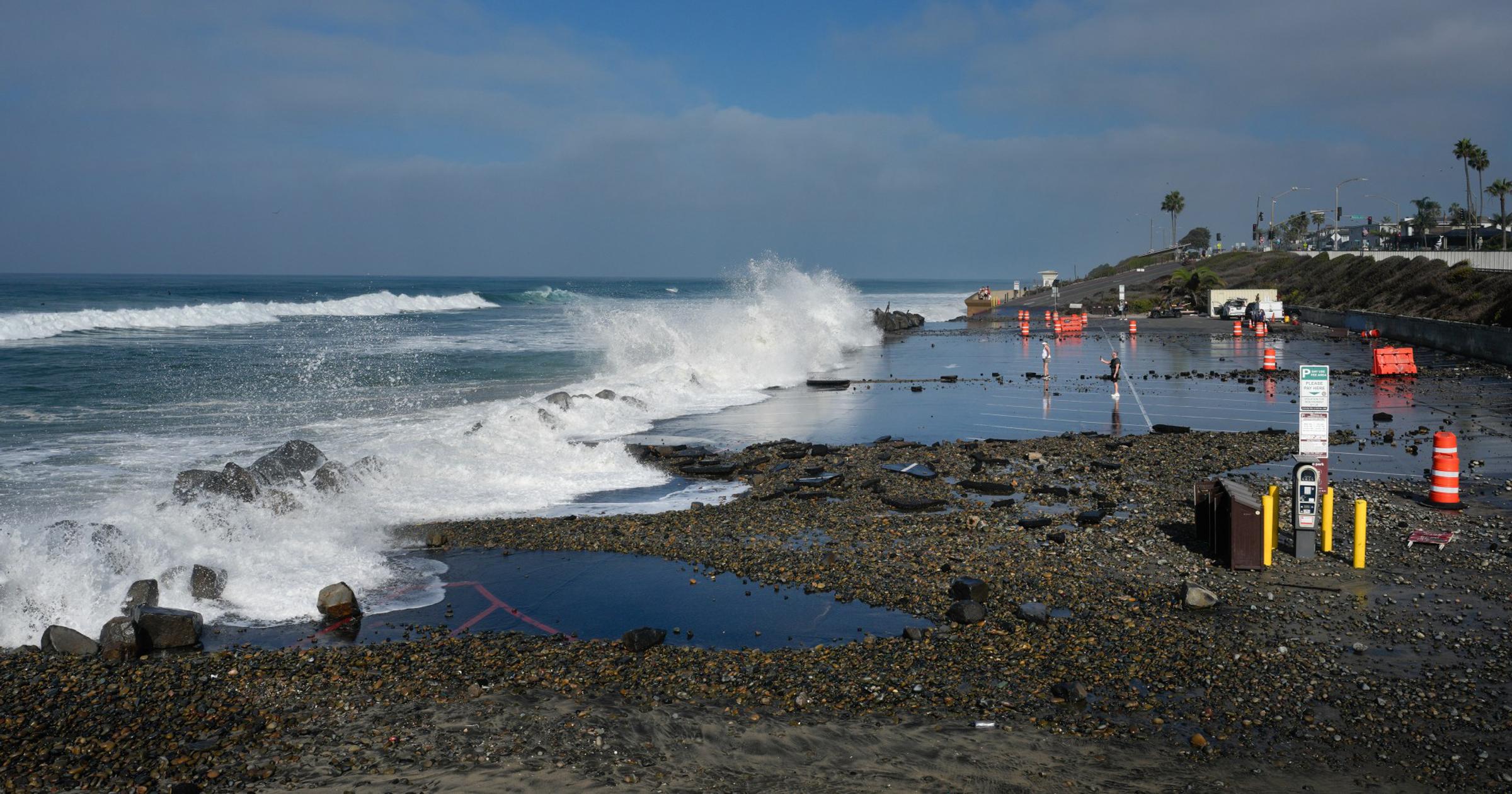 What can we expect from El Niño? Scientists say brace for the worst.
SAN DIEGO — Climatologists, oceanographers and meteorologists gathered at Scripps Institution of Oceanography in La Jolla this month, just steps from the Pacific Ocean, to discuss what the region can expect from…
- Storm chasers, get ready: The first severe weather outbreak of 2018 begins Tuesday
The weather in the Plains states has been anything but normal lately. Oklahoma -- a state synonymous with tornadoes -- didn't have a single twisters through April 30, a new record. Instead, states from Texas north to…
- Snowpacks in the West as High as 15,300% of Median — Making Sense of the West’s Wild Early-Season Numbers
It doesn’t take a background in snow hydrology to figure out this trend cannot be extrapolated for the season. Tracking snowfall based on long-term median values this early in the season is not the best way to go about…
-
 Global Weather Hazards Summary, October 15, 2026 – October 21, 2026
Global Overview: El Niño continues to strengthen. Long-term abnormal dryness and abnormal heat persist across areas of Africa, northern Central Asia, Central America, Hispaniola, and northern South America. Africa…
Sun & moon
Nearby
- Goundam 34 km
Forecasts, observations and alerts in the United States come from the National Weather Service (NOAA); radar from NOAA's Multi-Radar Multi-Sensor system; satellite imagery from NASA's Global Imagery Browse Services (GIBS) and NOAA's GOES satellites; the map from the U.S. Geological Survey's National Map; air quality from AirNow (EPA and its partners); hurricane information from the National Hurricane Center; climate normals and records from NOAA's Regional Climate Centers (ACIS). Forecasts outside the United States and the UV index: MET Norway (CC BY 4.0); observations outside the U.S.: airport reports via NOAA's Aviation Weather Center. Place names: GeoNames (CC BY 4.0). Data are copied on a schedule and may lag the sources; for warnings that affect your safety, follow your local National Weather Service office and emergency officials. Weather news is drawn from the 4Search index and reflects what the press published. Terms of use.