Install
Bi’r al Ghanam, Az Zawiyah, Libya Weather
Current conditions
Forecast for this hour (no station report in the last two hours)
Forecast
10-day-
Sunday
Cloudy. High 25°. Precipitation 0.9 mm for the day.
-
Sunday Night
Showers. Low 17°. Precipitation 0.9 mm for the day.
-
Monday
Light showers. High 24°. Precipitation 7.5 mm for the day.
MET Norway forecast updated 1 day ago.
Hourly
Hourly forecast- Now17°
- 06:0017°
- 07:0017°
- 08:0017°
- 09:0019°
- 10:0021°
- 11:0022°
- 12:0023°
- 13:0024°
- 14:0025°
- 15:0024°
- 16:0024°
- 17:0023°
- 18:0021°
- 19:0020°
- 20:0020°
- 21:0019°
- 22:0019°
- 23:0018°
- Mon00:0018°
- 01:0018°
- 02:0018°
- 03:0018°
- 04:0017°
Daily forecast
DetailsRadar
Full mapWeather news in Libya
More weather news-
 Locust Watch: Seasonal precipitation predictions in the Desert Locust summer/winter breeding areas (November 2026–April 2027) (21 October 2026)
Extremely strong El Niño conditions and a more positive Indian Ocean Dipole (IOD) favour we er conditions in eastern Africa, although the spring signal in Northwest Africa requires further confirmation. Dry conditions…
-
 Rain and Storms to Sweep Across Greece Thursday
Athens is turning to international law and diplomatic pressure after Eastern Libya backed the disputed maritime pact, as Israel, Egypt and the EU reject the move and Greece weighs its next steps in the Eastern…
-
 Rain and Storms to Sweep Into Greece as Winds Strengthen
Eastern Libya’s ratification of the disputed 2019 maritime agreement with Turkey is shifting the balance in the Eastern Mediterranean, highlighting Ankara’s growing influence in Benghazi and raising questions over…
-
 Weather Of The World: October 18
A view of the Garonne River at a historically low level due to a lack of rainfall, successive summer heat waves and the prefecture's low-water management policy in Toulouse, in southwestern France, on Oct. 14, 2026…
-
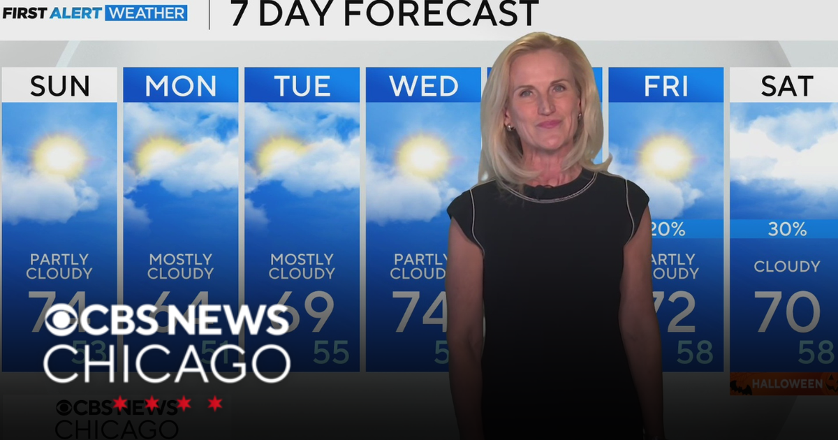 Scattered clouds for Saturday night in Chicago
CBS News Bay Area Evening Edition Weekend 5pm CBS News Philadelphia 7:30pm KDKA News at 7 CBS13 News Weekend 5pm CBS News Texas Saturday 5pm
-
 First Alert Weather: Sun and clouds Saturday in New York - 10/24/26
CBS News - The 5:33 | Legacy of the LIRR Massacre - On The Dot with David Schechter: Wildfires & Climate Change First Alert Weather: Sun and clouds Saturday in New York - 10/24/26 First Alert Weather: Near normal temps…
-
 Storm Boelo: Travel disrupted and events cancelled as UK hit by wind and rain
Fresh deluge of wet weather comes after Storm Austen brought strong winds to many regions on Friday Amber weather warnings have come into force as the worst of Storm Boelo could be set to hit parts of the UK. Storm…
-
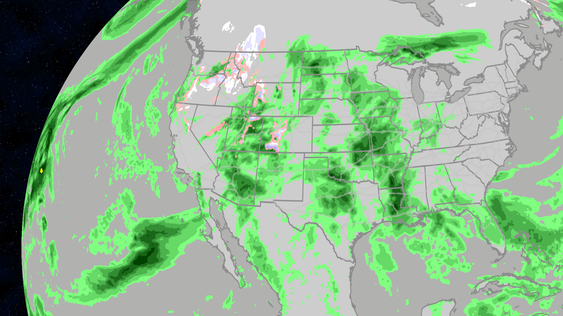 Halloween 2026 forecast: Who will see rain or snow?
The Weather Channel Halloween forecast: Will your weather impact your costume choices? Halloween is just a week away, and the weather may want you to change your costume. Much of the East may be clear and warm enough to…
-
 New maps reveal who could see more snow during this year’s super El Niño
This year’s potentially record-setting El Niño is expected to shape winter weather and snowfall across the US. A new CNN Weather analysis shows how snowfall has changed during El Niño winters, offering clues as to what…
-
 Storm Boelo brings disruption with the full force still to come
Lough Melvin in County Fermanagh being battered by Storm Boelo on Saturday Storm Boelo has brought gusts of more that 70mph (113kph) to the east coast of Northern Ireland on Saturday, with conditions due to worsen later…
Sun & moon
Nearby
- Az Zāwīyah 52 km
- Zawiya 51 km
- Al Ajaylat 53 km
- Şabrātah 54 km
- Al Ḩurshah 52 km
- Şurmān 50 km
- Al ‘Azīzīyah 49 km
- Gharyan 45 km
- Zintan 51 km
- Al Aşābi‘ah 42 km
- Az Zahrā’ 50 km
- Yafran 28 km
Forecasts, observations and alerts in the United States come from the National Weather Service (NOAA); radar from NOAA's Multi-Radar Multi-Sensor system; satellite imagery from NASA's Global Imagery Browse Services (GIBS) and NOAA's GOES satellites; the map from the U.S. Geological Survey's National Map; air quality from AirNow (EPA and its partners); hurricane information from the National Hurricane Center; climate normals and records from NOAA's Regional Climate Centers (ACIS). Forecasts outside the United States and the UV index: MET Norway (CC BY 4.0); observations outside the U.S.: airport reports via NOAA's Aviation Weather Center. Place names: GeoNames (CC BY 4.0). Data are copied on a schedule and may lag the sources; for warnings that affect your safety, follow your local National Weather Service office and emergency officials. Weather news is drawn from the 4Search index and reflects what the press published. Terms of use.