Install
Wahl, Redange, Luxembourg Weather
Current conditions
Observed at Luxembourg/Findel Arpt · 15 min ago
Forecast
10-day-
Friday
Heavy rain. High 10°. Precipitation 7.7 mm for the day.
-
Friday Night
Heavy rain. Low 7°. Precipitation 7.7 mm for the day.
-
Saturday
Rain. High 10°. Precipitation 17.4 mm for the day.
MET Norway forecast updated 2 hrs ago.
Hourly
Hourly forecast- Now7°0.4
- 07:007°0.5
- 08:007°0.4
- 09:007°0.2
- 10:008°0.2
- 11:009°0.4
- 12:0010°1.5
- 13:009°0.4
- 14:009°
- 15:009°0.4
- 16:0010°0.6
- 17:009°0.7
- 18:008°1.2
- 19:008°0.2
- 20:007°
- 21:008°
- 22:008°
- 23:007°0.5
- Sat00:006°1.6
- 01:005°1.6
- 02:005°1.7
- 03:005°1.5
- 04:005°0.4
- 05:005°
Daily forecast
DetailsRadar
Full mapWeather news near Wahl
More weather news-
 Chicago weather: Unseasonably warm temperatures stick around all week
Emily Wahls has your weather update! CHICAGO - It was another day with above normal temperatures and plenty of sunshine. Monday's high temperatures soared into the upper 60s to near 70 degrees. Tonight will be mostly…
-
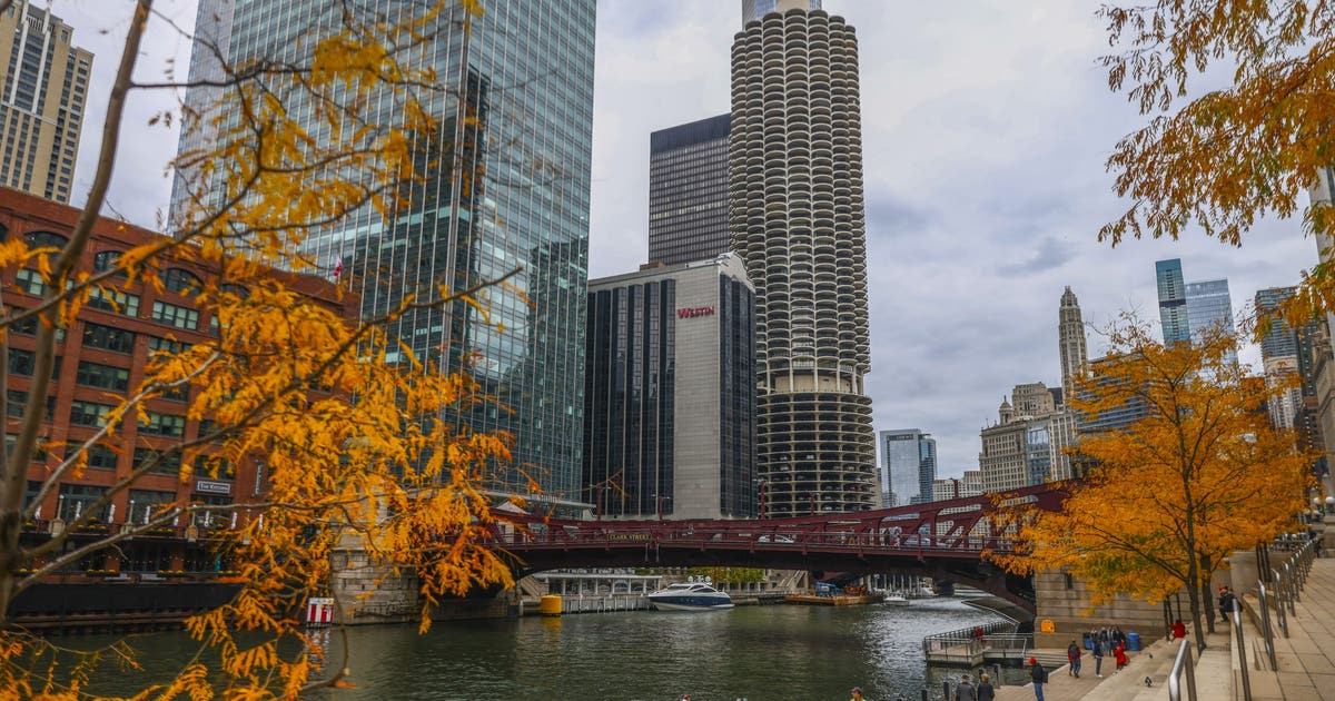 Chicago area weather: Frost Advisory as temps fall into the 30s tonight
CHICAGO - A nice weekend is underway with sunny skies and cool, fall-like temperatures. Today’s high temperatures will be in the upper 50s. Chicago’s average high temperature for October 17th is 62 degrees, so we’re a…
- Weather & Traffic: Thursday, 22 October: A bit unpleasant
Brace yourself for some powerful winds coming to the Grand Duchy. Today isn't the worst one yet, with the moderately strong gusts (up to 55 km/h) hitting mostly in the afternoon, but it should get stronger in the…
-
 Weather & Traffic: Tuesday 20 October: clouding over
A perfectly ordinary October day awaits, with clouded skies and the potential of rain later on. A perfectly ordinary October day awaits, with clouded skies and the potential of rain later on While most of the day will…
- Weather Today
Weather Forecast and Conditions for Lorentzweiler, 7380, Mersch, Luxembourg - The Weather Channel | Weather.com The Weather Channel Lorentzweiler, 7380, Mersch, Luxembourg
- Weather & Traffic: Sunday, 18 October: Sun's out of office... Grey skies and rain on the menu
The sun has taken the day off, with clouds set to dominate the skies throughout the day. The sun has taken the day off, with clouds set to dominate the skies throughout the day Expect mostly overcast conditions, with…
-
 Weather & Traffic: Saturday, 17 October: Cloudy patch ahead
Rain is a possibility today. Predictions point to a short period of slight rain between Friday and Saturday, so we might not even know it was there. Still, it's better to be prepared and grab your trusty umbrella. We…
-
 Fog over Luxembourg (15 Oct 2026)
RTL Today Fog over Luxembourg (15 Oct 2026)
-
 Weather & Traffic: Friday, 16 October: Can't see the forest for the mist
Surprised you could even find your phone to read this article, with all that morning fog around you. (if you're reading this in the afternoon, when things are supposed to have cleared up, then the joke's on me!) We…
Sun & moon
Nearby
- Trier 53 km
- Luxembourg 30 km
- Thionville 56 km
- Esch-sur-Alzette 38 km
- Arlon 18 km
- Konz 50 km
- Dudelange 42 km
- Marche-en-Famenne 59 km
- Yutz 57 km
- Hayange 58 km
- Aubange 31 km
- Longwy 37 km
Forecasts, observations and alerts in the United States come from the National Weather Service (NOAA); radar from NOAA's Multi-Radar Multi-Sensor system; satellite imagery from NASA's Global Imagery Browse Services (GIBS) and NOAA's GOES satellites; the map from the U.S. Geological Survey's National Map; air quality from AirNow (EPA and its partners); hurricane information from the National Hurricane Center; climate normals and records from NOAA's Regional Climate Centers (ACIS). Forecasts outside the United States and the UV index: MET Norway (CC BY 4.0); observations outside the U.S.: airport reports via NOAA's Aviation Weather Center. Place names: GeoNames (CC BY 4.0). Data are copied on a schedule and may lag the sources; for warnings that affect your safety, follow your local National Weather Service office and emergency officials. Weather news is drawn from the 4Search index and reflects what the press published. Terms of use.