Install
Vakarai, Eastern Province, Sri Lanka Weather
Current conditions
Forecast for this hour (no station report in the last two hours)
Forecast
10-day-
Saturday
Heavy showers. High 32°. Precipitation 2.4 mm for the day.
-
Saturday Night
Cloudy. Low 25°. Precipitation 2.4 mm for the day.
-
Sunday
Heavy rain. High 30°. Precipitation 7.1 mm for the day.
MET Norway forecast updated 23 hrs ago.
Hourly
Hourly forecast- Now25°
- 05:3025°
- 06:3025°
- 07:3026°
- 08:3027°
- 09:3028°
- 10:3030°
- 11:3031°
- 12:3032°
- 13:3031°0.5
- 14:3030°1.3
- 15:3027°0.5
- 16:3027°
- 17:3027°
- 18:3027°
- 19:3026°
- 20:3026°
- 21:3026°
- 22:3026°
- 23:3025°
- Sun00:3025°
- 01:3025°
- 02:3025°
- 03:3025°
Daily forecast
DetailsRadar
Full mapWeather news in Sri Lanka
More weather news-
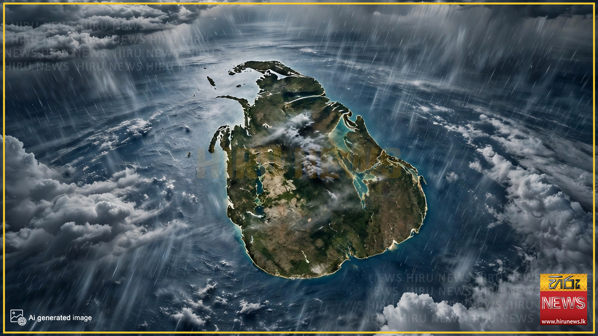 Sri Lanka to face over 100mm of rainfall today
Hiru News Sri Lanka to face over 100mm of rainfall today Thursday, 22 October 2026 - 8:07 A low-pressure area developed from the lower atmospheric disturbance near Sri Lanka, according to a statement issued by the…
-
 Low-pressure area : Above 100 mm of rain expected in some parts of Sri Lanka - Newswire
The low level atmospheric disturbance near Sri Lanka has developed into a low-pressure area, according to the Department of Meteorology. As such, under the influence of this system, an enhancement of rainfall is…
-
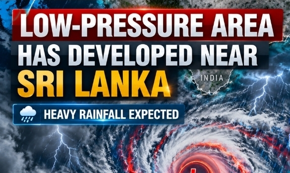 Low-pressure area has developed near Sri Lanka: Warning from Met Department - Newswire
The Department of Meteorology has warned of increased rainfall across Sri Lanka after a low-level atmospheric disturbance near the island developed into a low-pressure area. According to the weather forecast issued at 4…
-
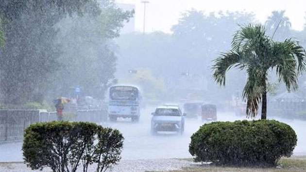 Heavy showers above 100mm expected in several provinces
Thu, 22 Oct 2026 Today's Paper Colombo, Oct. 22 (Daily Mirror) - Heavy showers exceeding 100mm are likely in several provinces and districts tomorrow as the influence of a low-pressure system near Sri Lanka is expected…
-
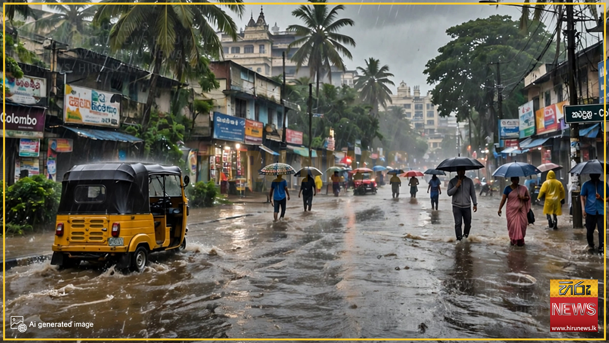 Low-Pressure Area May Develop Near Sri Lanka Within 24 Hours
The Department of Meteorology has issued a statement saying that the atmospheric disturbance currently prevailing in the lower atmosphere near Sri Lanka has the potential to develop into a low-pressure area within the…
-
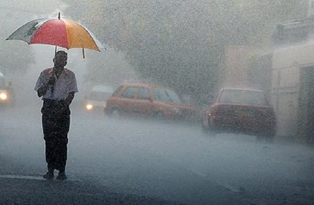 Rain threat not over yet: Fresh warning as low-pressure system moves away
The Department of Meteorology has warned of heavy rainfall exceeding 100 mm in several parts of Sri Lanka on Friday (October 23), despite the low-pressure system moving westward away from the island. According to the…
- Heavy showers above 100 mm are likely at some places in the Western, Sabaragamuwa, Southern and North-western provinces
MJ and Herath throw weight behind cricket reforms Quarter-finals to be replayed Crystal Palace urged to retire bald eagle mascot Bangladesh and Nepal to host Women’s Under-19 T20 World Cup from January 21 to February 6…
- Weather Warning Issued as Torrential Rain Targets Western Province
COLOMBO (News 1st); Sri Lanka is expected to experience another day of severe weather conditions, with the Department of Meteorology warning that rainfall exceeding 100 millimetres is likely in several parts of the…
-
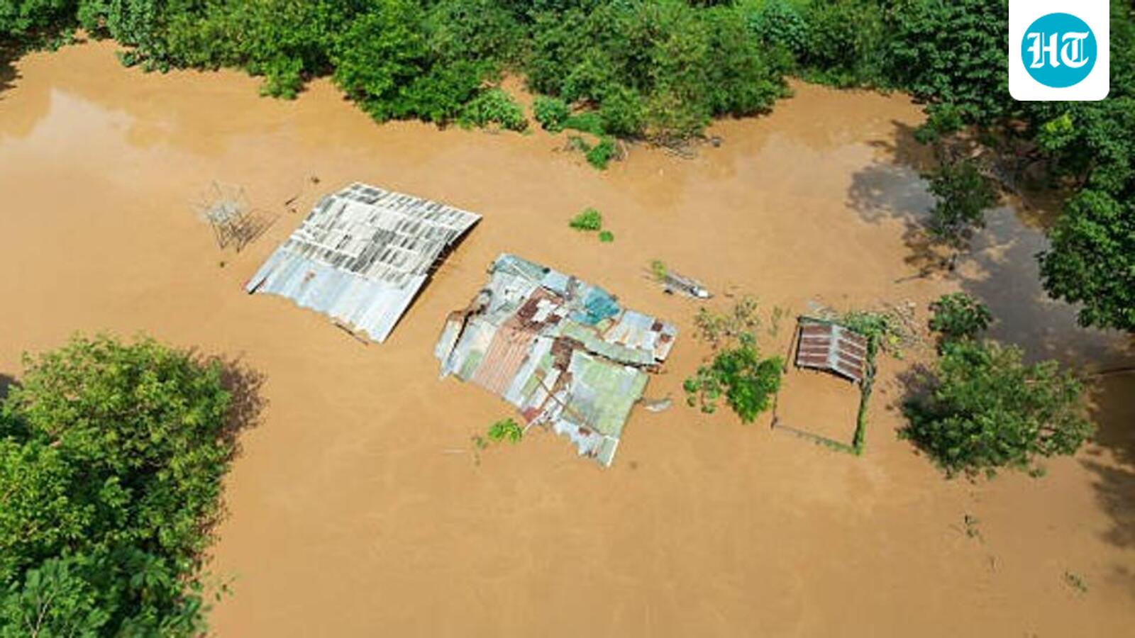 El Nino could be unprecedented, may rise to 3.8°C above average between Nov-Jan: WMO
WMO declares an El Niño when the sea surface temperature anomaly in the tropical Pacific is 0.5°C and higher. The outlook, shared late on Wednesday, said a very strong El Niño disrupts normal temperature and rainfall…
-
 Showers above 100mm expected in several provinces
රංජන්ගේ මැම්බර් | 2026.10.09 රංජන්ගේ මැම්බර් | 2026.10.06 රංජන්ගේ මැම්බර් | 2026.10.01 රංජන්ගේ මැම්බර් | 2026.09.27 රංජන්ගේ මැම්බර් | 2026.09.26 Actor Imran Khan told to leave India for protesting in Mumbai ACPOSL…
Sun & moon
Nearby
- Trincomalee 54 km
- Batticaloa 55 km
- Eravur Town 44 km
- Polonnaruwa 52 km
Forecasts, observations and alerts in the United States come from the National Weather Service (NOAA); radar from NOAA's Multi-Radar Multi-Sensor system; satellite imagery from NASA's Global Imagery Browse Services (GIBS) and NOAA's GOES satellites; the map from the U.S. Geological Survey's National Map; air quality from AirNow (EPA and its partners); hurricane information from the National Hurricane Center; climate normals and records from NOAA's Regional Climate Centers (ACIS). Forecasts outside the United States and the UV index: MET Norway (CC BY 4.0); observations outside the U.S.: airport reports via NOAA's Aviation Weather Center. Place names: GeoNames (CC BY 4.0). Data are copied on a schedule and may lag the sources; for warnings that affect your safety, follow your local National Weather Service office and emergency officials. Weather news is drawn from the 4Search index and reflects what the press published. Terms of use.