Install
Ambalantota, Southern Province, Sri Lanka Weather
Current conditions
Forecast for this hour (no station report in the last two hours)
Forecast
10-day-
Monday
Heavy rain. High 28°. Precipitation 17.2 mm for the day.
-
Monday Night
Heavy rain. Low 23°. Precipitation 17.2 mm for the day.
-
Tuesday
Heavy rain. High 28°. Precipitation 10.4 mm for the day.
MET Norway forecast updated 5 hrs ago.
Hourly
Hourly forecast- Now24°0.4
- 01:3024°0.3
- 02:3024°
- 03:3024°
- 04:3024°
- 05:3024°
- 06:3024°0.2
- 07:3025°0.4
- 08:3026°0.8
- 09:3026°0.5
- 10:3027°1.5
- 11:3026°0.4
- 12:3028°2.2
- 13:3026°1.9
- 14:3026°1.9
- 15:3026°0.8
- 16:3025°0.6
- 17:3025°0.3
- 18:3024°
- 19:3024°1.2
- 20:3024°1.7
- 21:3024°1.1
- 22:3023°0.4
- 23:3024°0.5
Daily forecast
DetailsRadar
Full mapWeather news in Sri Lanka
More weather news-
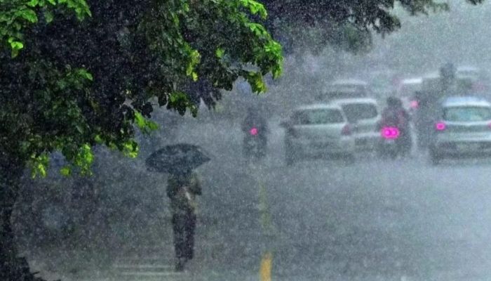 Heavy rain warning issued for several provinces and districts
The Natural Hazards Early Warning Centre has issued an advisory for heavy rain across several parts of Sri Lanka, warning that rainfall exceeding 100 mm is likely in some areas. The advisory, issued at 5.30 a.m. on…
-
 Gorgeous fall weather in NC, Oct. 24 update
A dry weekend with slightly below normal morning lows and highs is on tap for the rest of the weekend. The Piedmont Triad becomes less gusty late Sunday as wind speeds begin to relax. Highs area milder to start the week…
- heavy showers above 100 mm are likely in the Western, Sabaragamuwa, Southern, North-western and Northern provinces and in Kandy, Nuwara-Eliya and Anuradhapura districts
Sri Lanka turn a lost cause into a statement Dharmapala shine at All Island Schools Games Athletics Championship Nabi, Rashid and quicks lead Afghanistan to tri-series title Record number of entries for Arjan Perera…
- New Bay of Bengal system likely to intensify into cyclone
Sri Lanka turn a lost cause into a statement Dharmapala shine at All Island Schools Games Athletics Championship Nabi, Rashid and quicks lead Afghanistan to tri-series title Record number of entries for Arjan Perera…
-
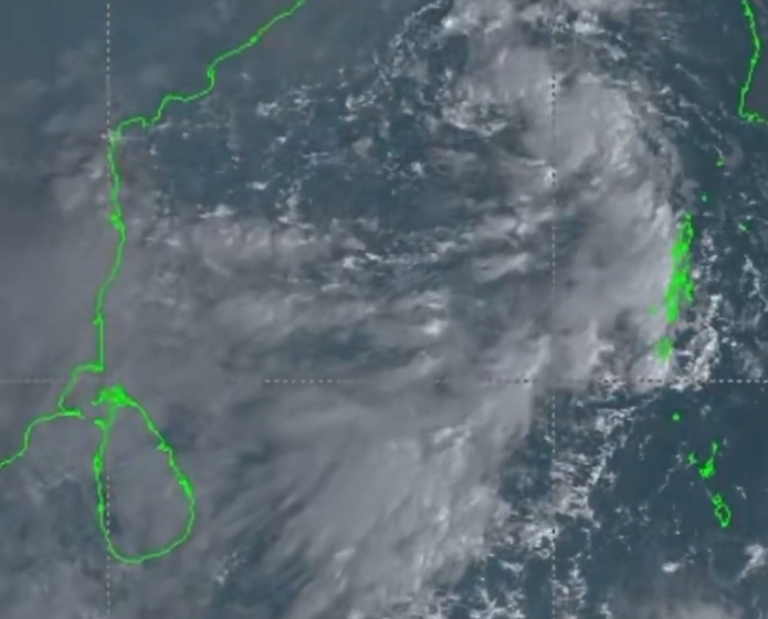 Low-pressure system moves away, but rain continues across Sri Lanka
News - Newswire Low-pressure system moves away, but rain continues across Sri Lanka The Department of Meteorology says showers and thunderstorms will continue across several parts of Sri Lanka on Friday (October 23)…
- Showers or thundershowers will occur at times in the Western, Sabaragamuwa, Central, Northern, and North-western provinces and in Anuradhapura and Galle districts
Girls’ rugby match between Sarasavi Uyana and Hemamali Girls’ School on 24 South Africa conjure comeback win despite losing two days to rain FIFA announces USA to host first Women’s Club World Cup in 2028 Sri Lanka…
-
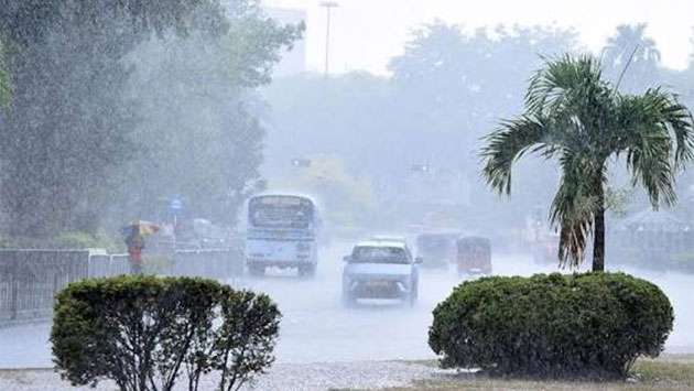 Heavy showers above 100mm expected in several provinces
Thu, 22 Oct 2026 Today's Paper Colombo, Oct. 22 (Daily Mirror) - Heavy showers exceeding 100mm are likely in several provinces and districts tomorrow as the influence of a low-pressure system near Sri Lanka is expected…
-
 Low-pressure area : Above 100 mm of rain expected in some parts of Sri Lanka - Newswire
The low level atmospheric disturbance near Sri Lanka has developed into a low-pressure area, according to the Department of Meteorology. As such, under the influence of this system, an enhancement of rainfall is…
-
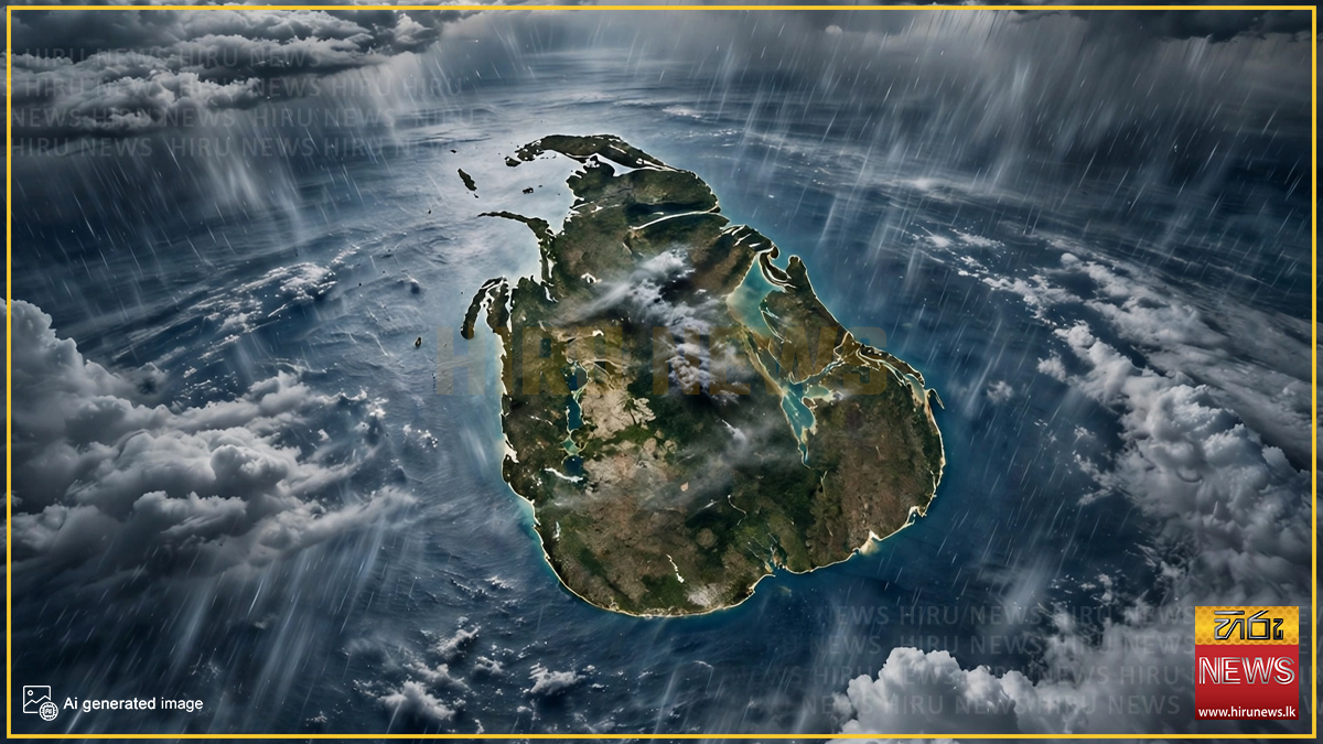 Sri Lanka to face over 100mm of rainfall today
Hiru News Sri Lanka to face over 100mm of rainfall today Thursday, 22 October 2026 - 8:07 A low-pressure area developed from the lower atmospheric disturbance near Sri Lanka, according to a statement issued by the…
-
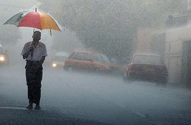 Rain threat not over yet: Fresh warning as low-pressure system moves away
The Department of Meteorology has warned of heavy rainfall exceeding 100 mm in several parts of Sri Lanka on Friday (October 23), despite the low-pressure system moving westward away from the island. According to the…
Sun & moon
Nearby
- Matara 57 km
- Beliatta 33 km
- Devinuwara 52 km
- Kataragama 48 km
- Hambantota 11 km
- Tangalle 27 km
- Wanduruppa 1 km
Forecasts, observations and alerts in the United States come from the National Weather Service (NOAA); radar from NOAA's Multi-Radar Multi-Sensor system; satellite imagery from NASA's Global Imagery Browse Services (GIBS) and NOAA's GOES satellites; the map from the U.S. Geological Survey's National Map; air quality from AirNow (EPA and its partners); hurricane information from the National Hurricane Center; climate normals and records from NOAA's Regional Climate Centers (ACIS). Forecasts outside the United States and the UV index: MET Norway (CC BY 4.0); observations outside the U.S.: airport reports via NOAA's Aviation Weather Center. Place names: GeoNames (CC BY 4.0). Data are copied on a schedule and may lag the sources; for warnings that affect your safety, follow your local National Weather Service office and emergency officials. Weather news is drawn from the 4Search index and reflects what the press published. Terms of use. How to use Weather