Install
Limit, Clarendon, Jamaica Weather
Current conditions
Forecast for this hour (no station report in the last two hours)
Forecast
10-day-
Wednesday
Light showers. High 27°. Precipitation 1.4 mm for the day.
-
Wednesday Night
Mostly clear. Low 18°. Precipitation 1.4 mm for the day.
-
Thursday
Light showers. High 28°. Precipitation 1.1 mm for the day.
MET Norway forecast updated 1 day ago.
Hourly
Hourly forecast- Now21°
- 19:0020°
- 20:0020°
- 21:0020°
- 22:0020°
- 23:0020°
- Thu00:0019°
- 01:0019°
- 02:0019°
- 03:0019°
- 04:0019°
- 05:0019°
- 06:0019°
- 07:0021°
- 08:0022°
- 09:0024°
- 10:0025°
- 11:0026°
- 12:0027°
- 13:0028°
- 14:0027°0.2
- 15:0026°0.3
- 16:0024°0.3
- 17:0023°0.3
Daily forecast
DetailsRadar
Full mapWeather news near Limit
More weather news-
 Heavy rain and flash flooding possible in New Mexico, southwest Colorado this week
A strong storm system will bring widespread rain to New Mexico and southwest Colorado Wednesday through Friday. Heavy rainfall could lead to flash flooding, especially Thursday and Friday. Several inches of rain are…
- Newly released winter outlook favors milder winter as super El Nino builds
DAVENPORT, Iowa (KWQC) - NOAA has released its official winter weather outlook for the 2026-2027 season, highlighting the Quad Cities region in a potential pattern for above-average temperatures. The primary driver…
- Monday PM Forecast: From jackets to T-shirts, riding a daily temperature seesaw
Very dry air will accomplish two things moving forward: keeping rain away and resulting in rather large temperature swings from morning to afternoon. The next week will be characterized by a daily back-and-forth from…
-
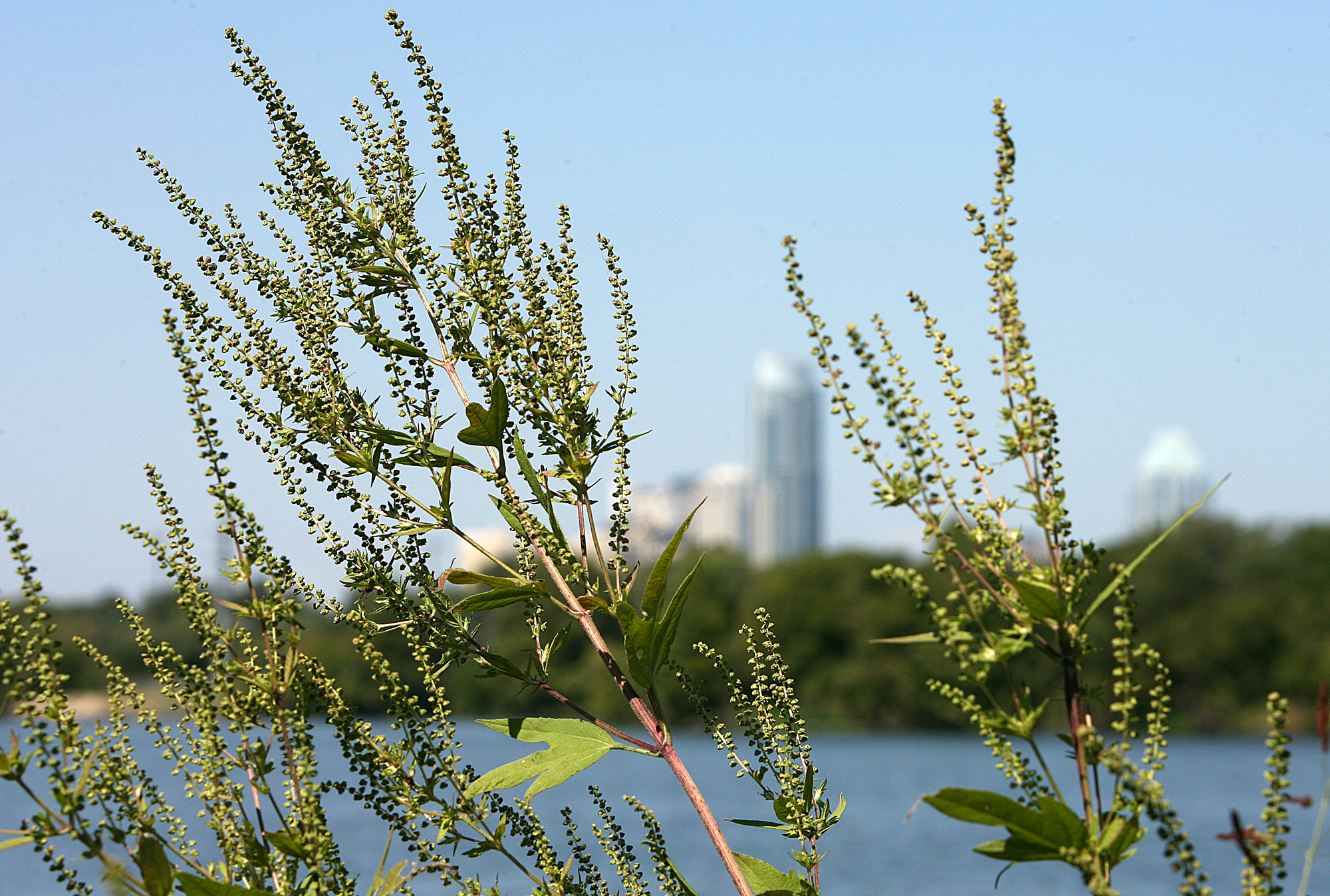 Austin pollen forecast as warm, dry weather returns
Ragweed pollen is wreaking havoc with allergies in Austin. Austin’s brief taste of fall is giving way to a stretch of sunny, warmer weather that could also keep allergy symptoms in the picture. Last week’s cold front…
-
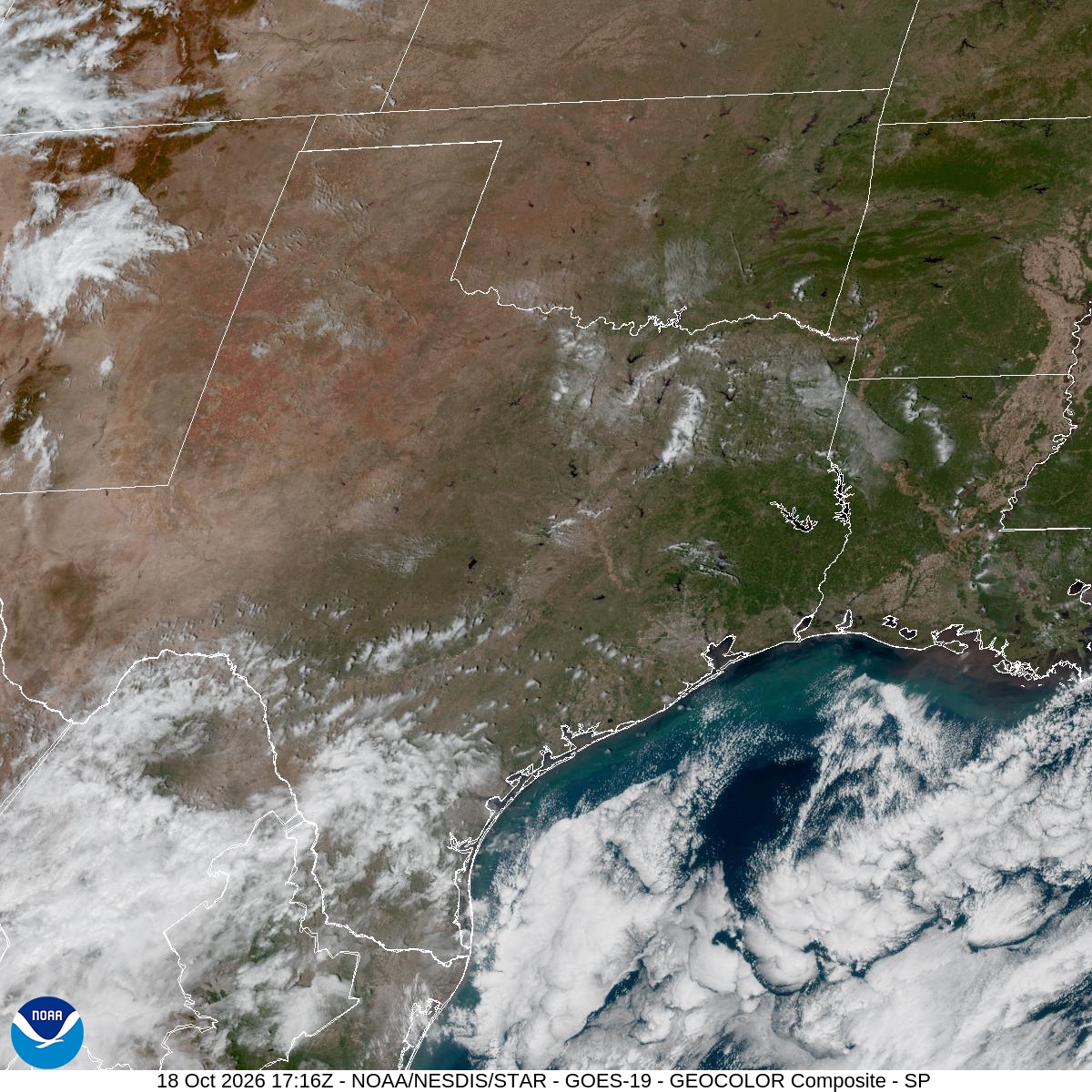 Houston pollen forecast highlights ragweed, sagebrush and elm
Houston’s brief taste of fall will give way to sunny skies and a gradual warming trend this week, with dry weather potentially keeping allergy symptoms in the picture. High pressure settling to the northeast will steer…
-
 Sunday Evening Forecast
WKTV High pressure settles over the region and keeps conditions dry and warmer for at least the next week. Fire weather will be worth watching through the period. Relative humidity could drop to or below 30% during peak…
-
 FIRST ALERT WEATHER: Cool Sunday night & mild for Monday
Sunday delivered what Mother Nature promised: cold morning lows in the middle 30s to lower 40s, followed by a mild and sunny afternoon with highs in the middle to upper 60s. That pattern is about to shift into something…
- These Are the States With the Best Weather Year-round
California and Hawaii are strong contenders for the best weather in the U.S. year-round. Coastal California offers comfortable temperatures with limited seasonal swings; Hawaii delivers consistent coastal warmth. But…
-
 Nor’easter Brings Increasing Winds and Coastal Flooding Concerns
DELMARVA - A developing nor’easter off the Mid-Atlantic coast will bring strengthening northeast winds and increasingly hazardous marine conditions to Sussex County late Sunday evening through Monday evening, with the…
-
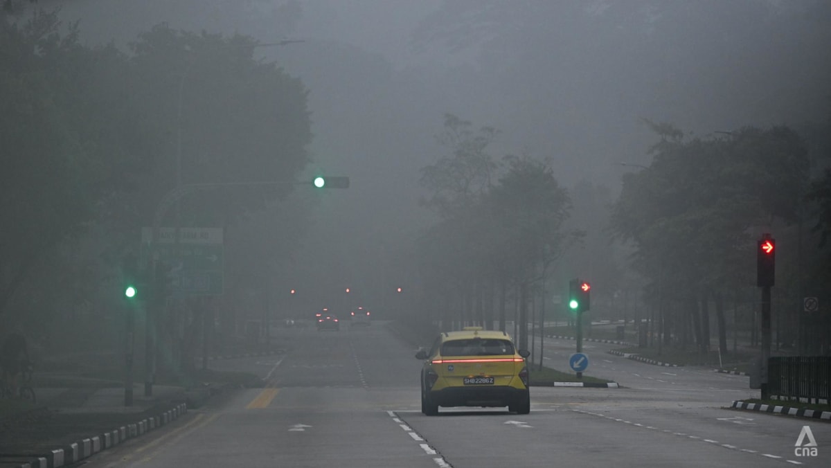 Air quality in Singapore mostly unhealthy; PM2.5 elevated in three regions
SINGAPORE: Air quality in Singapore was mostly unhealthy at 7am on Monday (Oct 19), with the 24-hour Pollutant Standard Index (PSI) ranging from 90 at a moderate level in the north to 136 at an unhealthy level in the…
Sun & moon
Nearby
- Spanish Town 57 km
- Montego Bay 59 km
- Mandeville 13 km
- May Pen 32 km
- Ocho Rios 48 km
- Old Harbour 45 km
- Linstead 46 km
- Barrett Town 53 km
- Saint Ann’s Bay 42 km
- Bog Walk 50 km
- Ewarton 41 km
- Runaway Bay 37 km
Forecasts, observations and alerts in the United States come from the National Weather Service (NOAA); radar from NOAA's Multi-Radar Multi-Sensor system; satellite imagery from NASA's Global Imagery Browse Services (GIBS) and NOAA's GOES satellites; the map from the U.S. Geological Survey's National Map; air quality from AirNow (EPA and its partners); hurricane information from the National Hurricane Center; climate normals and records from NOAA's Regional Climate Centers (ACIS). Forecasts outside the United States and the UV index: MET Norway (CC BY 4.0); observations outside the U.S.: airport reports via NOAA's Aviation Weather Center. Place names: GeoNames (CC BY 4.0). Data are copied on a schedule and may lag the sources; for warnings that affect your safety, follow your local National Weather Service office and emergency officials. Weather news is drawn from the 4Search index and reflects what the press published. Terms of use.