Install
Paternò, Sicily, Italy Weather
Current conditions
Forecast for this hour (no station report in the last two hours)
Forecast
10-day-
Wednesday
Light showers. High 25°. Precipitation 2.3 mm for the day.
-
Wednesday Night
Light showers. Low 19°. Precipitation 2.3 mm for the day.
-
Thursday
Partly cloudy. High 23°.
MET Norway forecast updated 10 hrs ago.
Hourly
Hourly forecast- Now20°
- 02:0020°0.7
- 03:0020°0.9
- 04:0019°
- 05:0020°0.2
- 06:0020°
- 07:0020°
- 08:0020°
- 09:0022°
- 10:0023°
- 11:0022°
- 12:0024°
- 13:0025°
- 14:0025°
- 15:0025°
- 16:0025°
- 17:0024°
- 18:0023°
- 19:0021°
- 20:0021°
- 21:0020°
- 22:0020°
- 23:0019°
- Thu00:0019°
Daily forecast
DetailsRadar
Full mapWeather news near Paternò
More weather news-
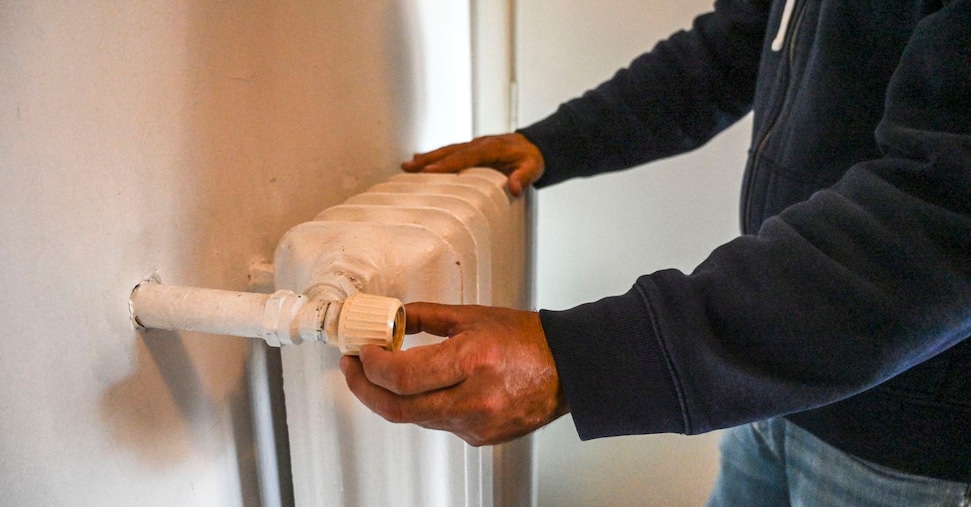 Heating: the first systems will be switched on on 15 October, but Milan and other cities are reducing the number of hours
In the final category, F, where municipalities have more than three thousand degree-days, there are no restrictions on the period or times of day, and radiators may remain on throughout the year. This category includes…
- Crisp Start, Toasty Finish: Richmond Set for Weeklong Warmup
Sunday night stays clear as temperatures fall to around 43 degrees in the city. The breeze should keep frost from forming, even as areas west of Interstate 95 turn colder, according to the National Weather Service…
-
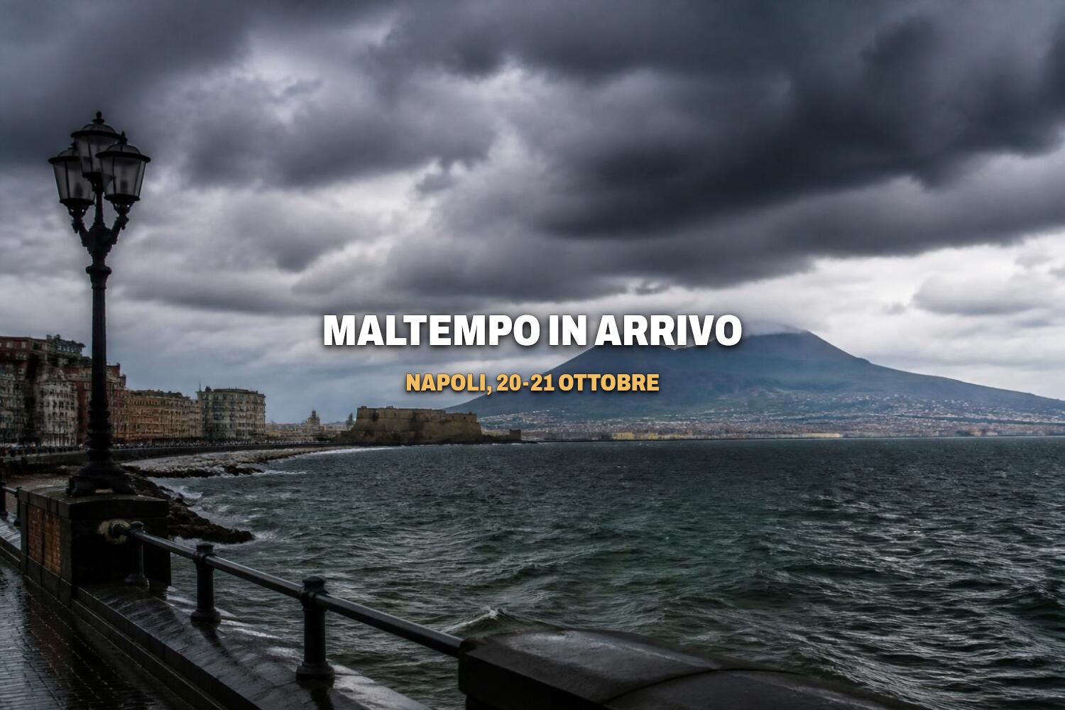 Naples Weather: Severe weather expected between October 20th and 21st.
After days of stable weather, the week of October 19-25, 2026, marks the return of severe weather to Naples and Campania. According to 3Bmeteo forecasts , a severe Atlantic low pressure system will cross Italy between…
- Weather Today
Weather Forecast and Conditions for Lazzaretto, Alghero, Sassari, Italy - The Weather Channel | Weather.com The Weather Channel Lazzaretto, Alghero, Sassari, Italy
-
 First Santa Ana winds of the season spark wildfire fears in California | CNN
As Southern California braces for its first Santa Ana winds of the season, CNN meteorologist Ali Van Fleet gives an outlook on the region’s wildfire season. An astronaut aboard SpaceX Dragon and a videographer beside a…
-
 Will Super El Niño hit your house? Scientists unpack the myths and misconceptions | CNN
CNN Climate and Weather spoke to five climate scientists about this year’s intense El Niño and the misconceptions they’re hearing. Editor Maggie Koerth and Senior Reporter Andrew Freedman recount what they learned. An…
-
 Orange haze from wildfires blankets Indonesia | CNN
A thick orange haze has blanketed parts of Indonesia and air pollution has reached dangerous levels due to ongoing wildfires. An astronaut aboard SpaceX Dragon and a videographer beside a lake in Canada share two…
-
 A fleeting flash above the storm: What is a lightning sprite?
They look like electric jellyfish and were only recently discovered. If you're in the right place at the right time, you may be able to see a lightning 'sprite.' Published Oct 15, 2026 9:17 AM EDT | Updated Oct 15, 2026…
-
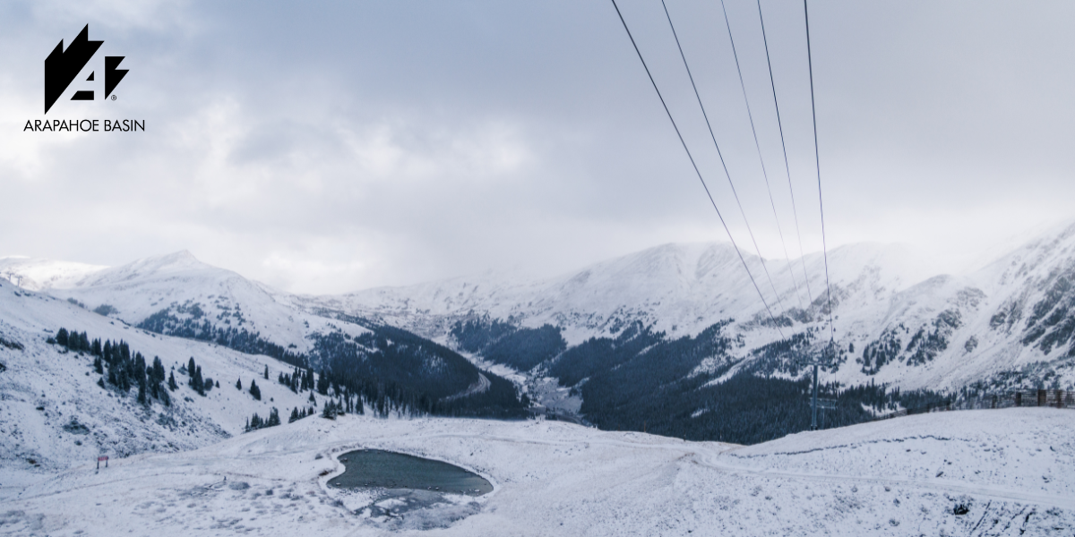 October Storms Bring Fresh Snow to Ikon Pass Country
From the Wasatch to the Rockies and European peaks, early snowfall signals the approach of the 2026–27 ski season. Winter is beginning to show itself across Ikon Pass country, with October storms bringing fresh snow to…
-
 OCTOBER STORMS BLANKET IKON PASS COUNTRY WITH SNOW
Winter weather is showing up across many Ikon Pass destinations, with fresh snow falling across Colorado, Utah, California, Montana, Wyoming, Idaho, and Europe. With more snow on the way this week, it’s time to seek…
Sun & moon
Nearby
- Catania 17 km
- Acireale 24 km
- Misterbianco 11 km
- Caltagirone 50 km
- Adrano 12 km
- Mascalucia 13 km
- Augusta 46 km
- Gravina di Catania 14 km
- Aci Catena 22 km
- Giarre 30 km
- Lentini 32 km
- Biancavilla 9 km
Forecasts, observations and alerts in the United States come from the National Weather Service (NOAA); radar from NOAA's Multi-Radar Multi-Sensor system; satellite imagery from NASA's Global Imagery Browse Services (GIBS) and NOAA's GOES satellites; the map from the U.S. Geological Survey's National Map; air quality from AirNow (EPA and its partners); hurricane information from the National Hurricane Center; climate normals and records from NOAA's Regional Climate Centers (ACIS). Forecasts outside the United States and the UV index: MET Norway (CC BY 4.0); observations outside the U.S.: airport reports via NOAA's Aviation Weather Center. Place names: GeoNames (CC BY 4.0). Data are copied on a schedule and may lag the sources; for warnings that affect your safety, follow your local National Weather Service office and emergency officials. Weather news is drawn from the 4Search index and reflects what the press published. Terms of use.