Install
Tirupati, Andhra Pradesh, India Weather
Current conditions
Forecast for this hour (no station report in the last two hours)
Forecast
10-day-
Saturday
Heavy showers. High 30°. Precipitation 14.2 mm for the day.
-
Saturday Night
Rain. Low 24°. Precipitation 14.2 mm for the day.
-
Sunday
Heavy rain. High 28°. Precipitation 20.7 mm for the day.
MET Norway forecast updated 4 hrs ago.
Hourly
Hourly forecast- Now26°
- 10:3026°
- 11:3029°0.2
- 12:3029°0.2
- 13:3030°
- 14:3030°2.6
- 15:3027°4.4
- 16:3025°2.2
- 17:3025°1.2
- 18:3025°0.6
- 19:3025°0.5
- 20:3025°0.5
- 21:3025°0.7
- 22:3024°0.4
- 23:3024°0.2
- Sun00:3024°
- 01:3024°
- 02:3024°
- 03:3024°
- 04:3024°
- 05:3024°
- 06:3024°
- 07:3025°
- 08:3026°0.2
Daily forecast
DetailsRadar
Full mapWeather news near Tirupati
More weather news-
 Cyclonic storm likely to hit North Andhra Pradesh coast on October 28, says IMD
Published - October 24, 2026 01:07 am IST - VISAKHAPATNAM A low-pressure area formed over the east-central and adjoining southeast Bay of Bengal at 5.30 a.m. on Friday is expected to become a depression on Saturday, a…
-
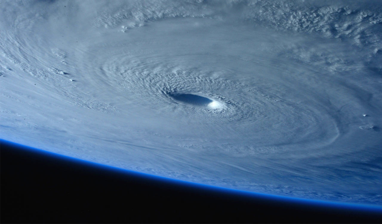 Bay of Bengal low-pressure area likely to intensify into cyclonic storm by October 26
A low-pressure area over the Bay of Bengal is likely to intensify into a cyclonic storm by October 26 and move towards the Andhra Pradesh-Odisha coast. Andhra Pradesh is also forecast to receive rainfall and lightning…
- Cyclonic storm likely by October 26; heavy rain in Coastal Andhra from October 27: IMD
Updated - October 23, 2026 11:23 am IST - VISAKHAPATNAM / ONGOLE A low-pressure area has formed over the east-central and adjoining south-east Bay of Bengal, and it is expected to intensify into a cyclonic storm over…
-
 Heavy rain in Tirupati as low pressure area forms off Tamil Nadu coast
Published - October 21, 2026 10:27 pm IST - VISAKHAPATNAM Tirupati district received heavy rain in the 24 hours ending 8:30 a.m. on Wednesday, with Tada recording 109.8 mm, Satyavedu 85.4 mm and Tirupati Aero 76.4 mm…
-
 Bay Of Bengal Low Pressure: Heavy Rain Warning For Andhra
The IMD said a surface circulation entering the North Andaman Sea may cause a low pressure over the southeast and adjoining east-central Bay of Bengal by Friday. The system may move northwest and strengthen further over…
-
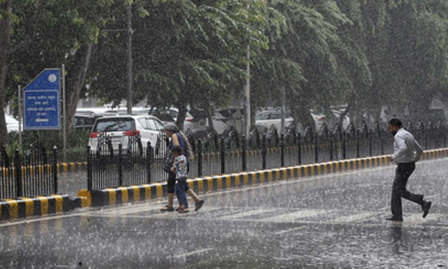 Light rain in next three hours in parts of AP, yellow alert for 11 districts
A yellow warning has been issued for 11 districts Light rain in next three hours in parts of AP, yellow alert for 11 districts There will be light rain in parts of Andhra Pradesh for the next three hours, with…
-
 Orange alert for Kakinada, Konaseema as thunderstorms forecast; low-pressure area likely over Bay of Bengal
Published - October 22, 2026 09:52 am IST - VISAKHAPATNAM The Cyclone Warning Centre (CWC), Visakhapatnam, issued an orange alert for Kakinada and Dr. B.R. Ambedkar Konaseema districts in Andhra Pradesh and Yanam…
-
 Rains forecasted for AP and Telangana due to expected low pressure area
Prakhar Jain, Managing Director of the Andhra Pradesh State Disaster Management Authority, said the system could bring heavy rains to Coastal Andhra region in the next couple of days. The Meteorological Department has…
-
 Thunderstorms likely in Nellore, Tirupati on October 21; heavy rain forecast on October 22
IMD issued an orange alert for Nellore and Tirupati districts on Wednesday; a low-pressure area is likely around October 23, and the State’s rain deficit is 59%.
-
 Rain Revives Waterfalls On Tirumala, Temperature Drops
Rain brought waterfalls to life across the Seshachalam hills in Tirumala on Wednesday, with streams flowing down rocky slopes, fog covering the ghat roads, and temperature dropping in the hill town. Fog and mist covered…
Sun & moon
Nearby
- Chittoor 59 km
- Srikalahasti 33 km
- Nagari 39 km
- Puttūr 26 km
- Venkatagiri 40 km
- Nāyudupet 60 km
- Thiruthani 55 km
- Akkarampalle 2 km
- Pīleru 52 km
- Tirupati NMA 7 km
- Podaturpet 40 km
- Nagalapuram 49 km
Forecasts, observations and alerts in the United States come from the National Weather Service (NOAA); radar from NOAA's Multi-Radar Multi-Sensor system; satellite imagery from NASA's Global Imagery Browse Services (GIBS) and NOAA's GOES satellites; the map from the U.S. Geological Survey's National Map; air quality from AirNow (EPA and its partners); hurricane information from the National Hurricane Center; climate normals and records from NOAA's Regional Climate Centers (ACIS). Forecasts outside the United States and the UV index: MET Norway (CC BY 4.0); observations outside the U.S.: airport reports via NOAA's Aviation Weather Center. Place names: GeoNames (CC BY 4.0). Data are copied on a schedule and may lag the sources; for warnings that affect your safety, follow your local National Weather Service office and emergency officials. Weather news is drawn from the 4Search index and reflects what the press published. Terms of use.