Install
Pālakkodu, Tamil Nadu, India Weather
Current conditions
Forecast for this hour (no station report in the last two hours)
Forecast
10-day-
Saturday
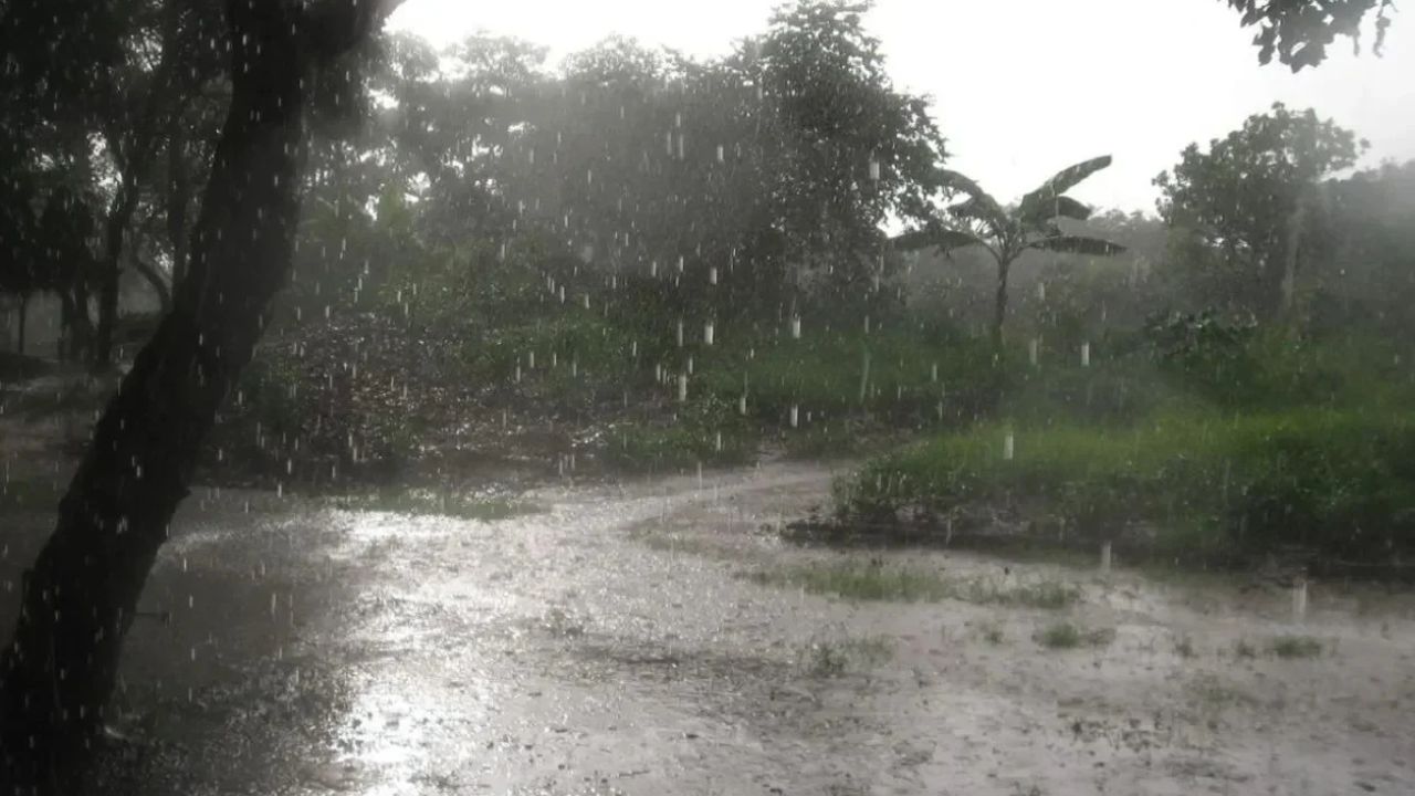
Heavy rain. High 27°. Precipitation 22.4 mm for the day.
-
Saturday Night
Heavy rain. Low 22°. Precipitation 22.4 mm for the day.
-
Sunday
Heavy rain. High 27°. Precipitation 38.2 mm for the day.
MET Norway forecast updated 11 hrs ago.
Hourly
Hourly forecast- Now23°2.8
- 18:3023°1.0
- 19:3023°1.6
- 20:3023°1.9
- 21:3023°1.6
- 22:3023°2.9
- 23:3022°2.1
- Sun00:3022°1.0
- 01:3022°0.3
- 02:3022°1.7
- 03:3022°3.2
- 04:3022°3.4
- 05:3022°1.3
- 06:3022°0.2
- 07:3023°0.3
- 08:3023°0.4
- 09:3024°0.4
- 10:3024°0.3
- 11:3026°0.3
- 12:3027°0.4
- 13:3027°1.6
- 14:3025°8.5
- 15:3024°5.0
- 16:3023°3.6
Daily forecast
DetailsRadar
Full mapWeather news in India
More weather news-
 India Weather Tomorrow (October 24): IMD Predicts Heavy Rain, Thunderstorms in Several States; Check Forecast & Latest Update
The India Meteorological Department (IMD) is forecasting heavy rainfall in several southern states and island regions, while parts of northwest India may also experience showers. The post India Weather Tomorrow (October…
- IMD Cyclone Alert in India: Bay of Bengal Storm to Intensify By Oct 26, Heavy Rain In These States; Check Full Path, Landfall
The India Meteorological Department (IMD) has cautioned that a developing weather system over the Bay of Bengal could develop into Cyclone Arnab by October 26, 2026, thus triggering heavy rainfall in coastal Andhra…
-
 Daily weather tracker: Heavy rain alert continues in southern India, Himalayas see snowfall as Delhi stays sunny
IMD issues orange alerts for heavy to very heavy rainfall in parts of Kerala, Tamil Nadu, Puducherry, Karaikal, Mahe and Lakshadweep, with up to 204.4mm possible in 24 hours. A developing weather system over the Bay of…
-
 Low pressure over Bay may turn into cyclone; rain forecast from October 27
A well-marked low-pressure system over the east-central and southeast Bay of Bengal may intensify into a cyclone and is likely to move towards India’s Andhra Pradesh coast, meteorologists said today. At the beginning of…
-
 Weather Forecast: Cyclone Threat Looms Over Bay of Bengal, Heavy Rain Forecast in Several States
A developing weather system could bring intense rain to coastal areas (Img: Pinterest) New Delhi: A developing weather system over the Bay of Bengal could bring heavy to very heavy rainfall across eastern and central…
-
 Cyclone brewing as low pressure area forms in east-central, Southeast Bay of Bengal | Live
The weather system over the Bay of Bengal is likely to intensify into a cyclone and cross the southern Odisha–northern Andhra Pradesh coast by October 28. According to the India Meteorological Department’s (IMD)…
-
 IMD alert for today: Cyclone brewing in Bay of Bengal; heavy rain forecasted for Tamil Nadu, Karnataka
The India Meteorological Department (IMD) has forecast “extremely heavy rainfall” across south peninsular India following the onset of the Northeast monsoon over Tamil Nadu, Puducherry and Karaikal, Coastal Andhra…
-
 Andhra Pradesh cyclone alert: Storm likely to hit coast on october 28
Cyclone alert for Andhra Pradesh: severe rainfall expected as storm nears coast, with red warnings issued for October 28. Andhra Pradesh is on high alert as a developing cyclone over the Bay of Bengal is expected to…
-
 Delhi's air quality improves to 'moderate' after 3 days of 'poor' quality
New Delhi, Oct 24 (PTI) Delhi’s air quality improved to the “moderate" category on Saturday morning after three consecutive days of “poor" air, offering some respite to residents. The air quality index (AQI) was…
-
 BBC Audio | What in the World | Five ways El Niño is affecting weather around the world
El Niño has been strengthening for several months now and is already having a significant impact on global weather patterns. Countries including Indonesia, India and the United States have been experiencing droughts…
Sun & moon
Nearby
- Hosūr 54 km
- Krishnagiri 28 km
- Dharmapuri 22 km
- Tirupattur 58 km
- Mūkondapalli 57 km
- Jūjūvādi 60 km
- Pallippatti 54 km
- Mechcheri 54 km
- Harūr 53 km
- Denkanikota 39 km
- Mattigiri 52 km
- Kādiganpalli 28 km
Forecasts, observations and alerts in the United States come from the National Weather Service (NOAA); radar from NOAA's Multi-Radar Multi-Sensor system; satellite imagery from NASA's Global Imagery Browse Services (GIBS) and NOAA's GOES satellites; the map from the U.S. Geological Survey's National Map; air quality from AirNow (EPA and its partners); hurricane information from the National Hurricane Center; climate normals and records from NOAA's Regional Climate Centers (ACIS). Forecasts outside the United States and the UV index: MET Norway (CC BY 4.0); observations outside the U.S.: airport reports via NOAA's Aviation Weather Center. Place names: GeoNames (CC BY 4.0). Data are copied on a schedule and may lag the sources; for warnings that affect your safety, follow your local National Weather Service office and emergency officials. Weather news is drawn from the 4Search index and reflects what the press published. Terms of use.