Install
O.C.L. Industrial Township, Odisha, India Weather
Current conditions
Forecast for this hour (no station report in the last two hours)
Forecast
10-day-
Monday
Partly cloudy. High 30°.
-
Monday Night
Partly cloudy. Low 22°.
-
Tuesday
Rain. High 31°. Precipitation 1.0 mm for the day.
MET Norway forecast updated 16 hrs ago.
Hourly
Hourly forecast- Now22°
- 23:3022°
- Tue00:3022°
- 01:3022°
- 02:3022°
- 03:3022°
- 04:3022°
- 05:3022°
- 06:3022°
- 07:3024°
- 08:3025°
- 09:3027°
- 10:3029°
- 11:3030°
- 12:3031°
- 13:3031°0.4
- 14:3029°0.2
- 15:3029°
- 16:3028°
- 17:3027°
- 18:3026°0.2
- 19:3025°0.2
- 20:3025°
- 21:3025°
Daily forecast
DetailsRadar
Full mapWeather news in India
More weather news-
 A strong cyclone is nearing India’s eastern coast
A potentially dangerous cyclone is rapidly intensifying in the Bay of Bengal and is expected to strike eastern India as soon as late Tuesday into early Wednesday local time. The storm, Cyclone Arnab, is growing into…
-
 Cyclone Arnab may turn very severe, remnants could bring intense rainfall to northern India and Nepal
Cyclone Arnab, the first cyclonic storm of 2026 in the North Indian Ocean region, formed over the Bay of Bengal on 26 October. The cyclone could intensify into a very severe cyclonic storm before making landfall along…
-
 Cyclone Arnab forms over Bay, to cross India on Wednesday as very severe storm
A deep depression over the Bay of Bengal has intensified into a cyclone named Arnab, which is forecast to strengthen further before crossing India's Andhra Pradesh coast as a very severe cyclonic storm on Wednesday. At…
- Cyclone Arnab Name's Meaning Revealed: It Wasn’t Originally Given By IMD, ISRO, Govt, But By…, How Are Cyclones Named in India?
Cyclone Arnab, which developed over the Bay of Bengal today, is intensifing and heading towards the Andhra Pradesh coast, with the India Meteorological Department (IMD) issuing a red-level cyclone warning for Andhra…
-
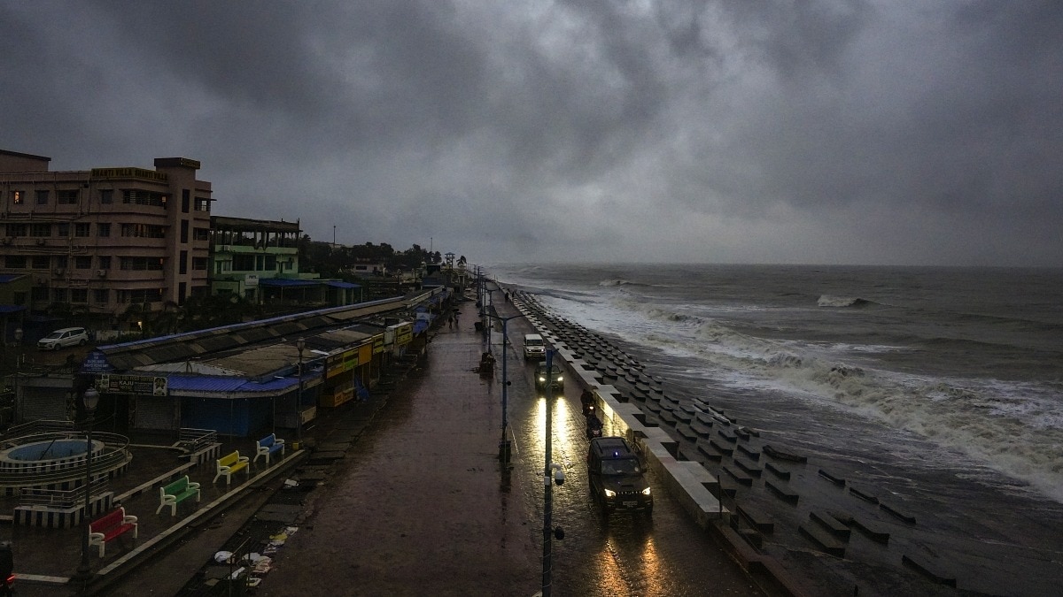 Extremely heavy rain to hit Andhra Pradesh on Tuesday as Cyclone Arnab comes close
Cyclone Arnab is expected to intensify into a very severe cyclonic storm over the Bay of Bengal on Tuesday, October 27, bringing extremely heavy rainfall to coastal Andhra Pradesh and triggering widespread rain warnings…
-
 Cyclone Arnab may take heavy rain regime away from South Peninsula
The building very severe cyclone is expected to track north-northeastwards, dragging a sprawling rain across large swathes eastern and central India, and away from most of the South Peninsula Cyclone Arnab may take…
-
 Cyclone ‘Arnab’ LIVE Updates: Deep Depression In Bay Of Bengal; Paddy, Coastal Crops Of Andhra Farmers At Risk
The India Meteorological Department (IMD) has confirmed the formation of Cyclonic Storm Arnab over the east-central and adjoining west-central Bay of Bengal, issuing a cyclone warning for the Andhra Pradesh coast and…
-
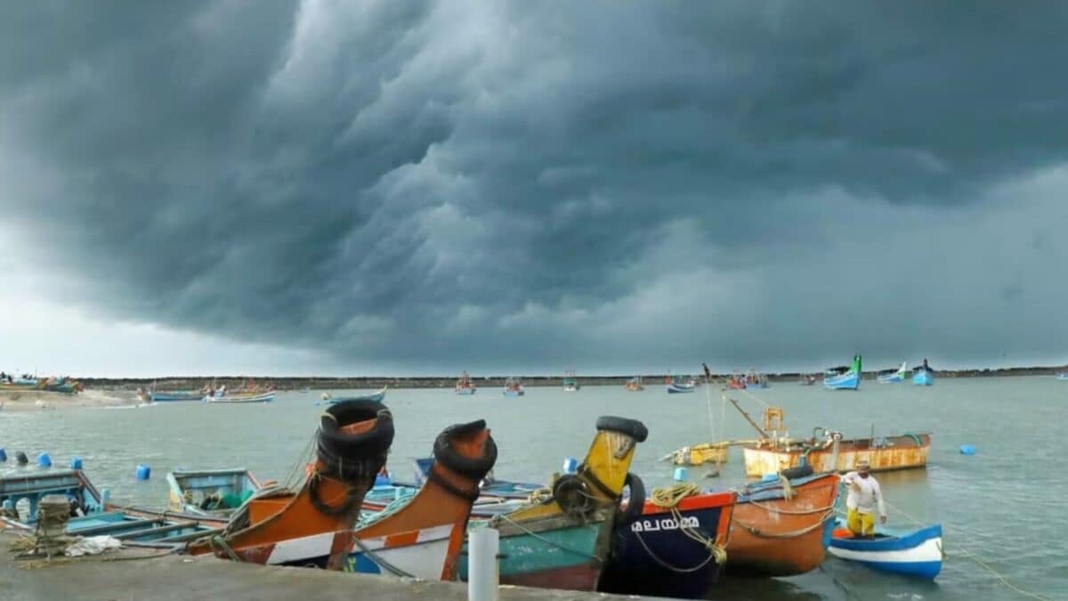 Cyclone 'Arnab': Who Named It, What Does It Mean And How Are Cyclones Named? Explained
The India Meteorological Department (IMD) said a deep depression over the east-central and adjoining southeast Bay of Bengal intensified into Cyclone Arnab on October 26. The storm is forecast to move towards the Andhra…
-
 Andhra Pradesh braces for 11th very severe cyclonic storm
Arnab could be the first VSCS to affect the State since Titli in 2018; IMD records 10 such storms between 1970 and 2023 Deepak Arnab could be the first VSCS to affect the State since Titli in 2018; IMD records 10 such…
-
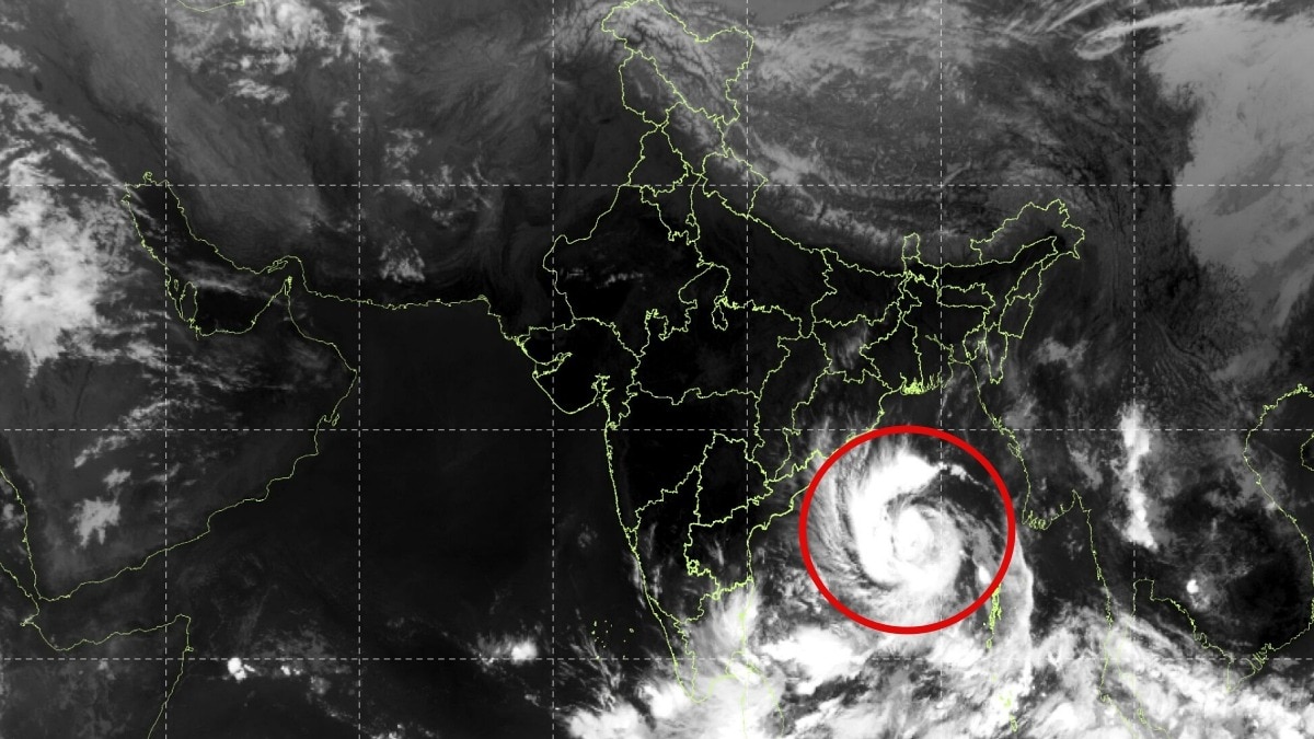 Cyclone Arnab: Isro satellite captures storm barreling towards Andhra Pradesh
India’s space-based satellite observations have captured Cyclone Arnab swirling over the Bay of Bengal as the storm intensifies and heads towards the Andhra Pradesh coast, with the India Meteorological Department (IMD)…
Sun & moon
Nearby
- Rourkela 28 km
- Raurkela Industrial Township 28 km
- Rajgangpur 1 km
- Sundergarh 58 km
- Simdega 46 km
- Birmitrapur 28 km
- Jalda 26 km
- Kuchinda 57 km
- Bānposh 23 km
- Kansbahal 7 km
- Kumārmunda 22 km
- Lathikata 32 km
Forecasts, observations and alerts in the United States come from the National Weather Service (NOAA); radar from NOAA's Multi-Radar Multi-Sensor system; satellite imagery from NASA's Global Imagery Browse Services (GIBS) and NOAA's GOES satellites; the map from the U.S. Geological Survey's National Map; air quality from AirNow (EPA and its partners); hurricane information from the National Hurricane Center; climate normals and records from NOAA's Regional Climate Centers (ACIS). Forecasts outside the United States and the UV index: MET Norway (CC BY 4.0); observations outside the U.S.: airport reports via NOAA's Aviation Weather Center. Place names: GeoNames (CC BY 4.0). Data are copied on a schedule and may lag the sources; for warnings that affect your safety, follow your local National Weather Service office and emergency officials. Weather news is drawn from the 4Search index and reflects what the press published. Terms of use. How to use Weather