Install
Mandsaur, Madhya Pradesh, India Weather
Current conditions
Forecast for this hour (no station report in the last two hours)
Forecast
10-day-
Thursday
Mostly sunny. High 31°.
-
Thursday Night
Clear. Low 21°.
-
Friday
Sunny. High 32°.
MET Norway forecast updated 1 day ago.
Hourly
Hourly forecast- Now23°
- 23:3023°
- Fri00:3022°
- 01:3021°
- 02:3021°
- 03:3021°
- 04:3020°
- 05:3020°
- 06:3020°
- 07:3021°
- 08:3024°
- 09:3027°
- 10:3030°
- 11:3031°
- 12:3031°
- 13:3032°
- 14:3032°
- 15:3031°
- 16:3031°
- 17:3029°
- 18:3026°
- 19:3025°
- 20:3025°
- 21:3024°
Daily forecast
DetailsRadar
Full mapWeather news near Mandsaur
More weather news-
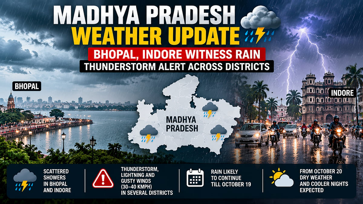 Madhya Pradesh Weather Update: Bhopal, Indore Witness Rain -Thunderstorm Alert Issued Across Districts
The rain is being caused by active cyclonic circulations over the region. Although the southwest monsoon withdrew from Madhya Pradesh in the first week of October, fresh weather systems have brought rain, lightning and…
-
 Madhya Pradesh Weather Update: Cyclonic Circulation Triggers Rain Alert In 15 Districts, Temperature Drops By 2.8°C
MP Weather Forecast Next 24 Hours: Rainfall and thunderstorms have continued across parts of Madhya Pradesh for the past 72 hours, bringing a drop of 2.8 degrees Celsius in temperature. The India Meteorological…
-
 Rain lashes Gwalior-Chambal, daytime temperatures drop:Heavy showers with strong winds continue across MP for 72 hours; alert issued for 15 districts today
Thunderstorms and rain have continued across Madhya Pradesh for the past three days, or 72 hours. The districts in the Gwalior-Chambal division have also received rainfall. Daytime temperatures have fallen by up to 2.8…
- MP Weather Update: Rain Alert In 21 Districts, Thunderstorms Expected Over Next 24 Hours
Madhya Pradesh Rain Alert 2026: The southwest monsoon withdrew from Madhya Pradesh on October 3, however, isolated and scattered rainfall still continues across several parts of the state. The Meteorological Centre in…
-
 MP Weather Update: Rain Forecast In Gwalior-Chambal; Temperatures Drop Across State, Amarkantak Records 15.8°C
Madhya Pradesh Weather Update: Northern Madhya Pradesh is witnessing changing weather conditions due to an active western disturbance and cyclonic circulation. According to the IMD Bhopal weather forecast, several…
-
 Rain alert issued for 5 MP districts, including Gwalior, Shivpuri:Downpour expected over next 4 days; Ujjain, Sagar and Rewa divisions likely to receive showers
A western disturbance and a cyclonic circulation are active over northern Madhya Pradesh. As a result, weather conditions are expected to remain unsettled in the Gwalior, Chambal, Ujjain, Sagar and Rewa divisions for…
-
 MP to witness thunderstorms and rain over the next 3:20 districts to be affected, including Gwalior, Rewa and Shahdol; no alert for Bhopal and Indore
Madhya Pradesh will experience thunderstorms, rain and lightning from 15 to 17 October. The weather will affect 20 districts in all, including districts in the Gwalior, Chambal, Rewa, Shahdol, Sagar and Jabalpur…
-
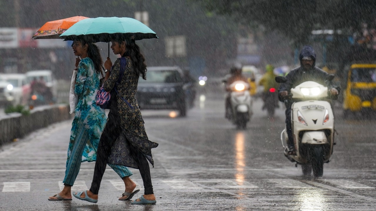 Heavy rain across South India on Friday as new Bay of Bengal system brews
Rainfall activity is expected to remain intense across parts of south India on Friday, October 23, with the India Meteorological Department (IMD) forecasting heavy to very heavy rain in several areas, including Tamil…
-
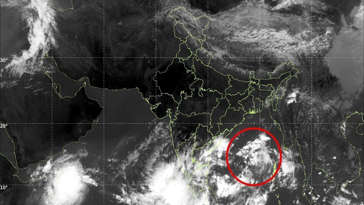 India on alert: Low-pressure system over Bay of Bengal may intensify into cyclone
A developing weather system over the Andaman Sea could mark the beginning of a fresh cyclonic threat over the Bay of Bengal, with a low-pressure area likely to form on October 23, 2026. The system is expected to move…
-
 IMD forecast heavy rains in South India – Here is the statewise forecast for today
New Delhi: The India Meteorological Department (IMD) has said that heavy to very heavy rains are possible in isolated parts of Tamil Nadu, Puducherry and Karaikal on October 22, Thursday. Kerala and Mahe would also see…
Sun & moon
Nearby
- Nimach 48 km
- Jaora 49 km
- Pratāpgarh 30 km
- Manāsa 46 km
- Shāmgarh 59 km
- Rāmpura 58 km
- Chhoti Sādri 51 km
- Panth Pīplia 15 km
- Tāl 51 km
- Sītāmau 29 km
- Suwāsra 59 km
- Kukdeshwar 50 km
Forecasts, observations and alerts in the United States come from the National Weather Service (NOAA); radar from NOAA's Multi-Radar Multi-Sensor system; satellite imagery from NASA's Global Imagery Browse Services (GIBS) and NOAA's GOES satellites; the map from the U.S. Geological Survey's National Map; air quality from AirNow (EPA and its partners); hurricane information from the National Hurricane Center; climate normals and records from NOAA's Regional Climate Centers (ACIS). Forecasts outside the United States and the UV index: MET Norway (CC BY 4.0); observations outside the U.S.: airport reports via NOAA's Aviation Weather Center. Place names: GeoNames (CC BY 4.0). Data are copied on a schedule and may lag the sources; for warnings that affect your safety, follow your local National Weather Service office and emergency officials. Weather news is drawn from the 4Search index and reflects what the press published. Terms of use.