Install
Koraput, Odisha, India Weather
Current conditions
Forecast for this hour (no station report in the last two hours)
Forecast
10-day-
Wednesday
Partly cloudy. High 28°.
-
Wednesday Night
Partly cloudy. Low 20°.
-
Thursday
Partly cloudy. High 28°.
MET Norway forecast updated 10 hrs ago.
Hourly
Hourly forecast- Now28°
- 15:3027°
- 16:3026°
- 17:3024°
- 18:3023°
- 19:3022°
- 20:3022°
- 21:3022°
- 22:3021°
- 23:3021°
- Thu00:3020°
- 01:3020°
- 02:3020°
- 03:3020°
- 04:3020°
- 05:3020°
- 06:3020°
- 07:3022°
- 08:3024°
- 09:3026°
- 10:3027°
- 11:3028°
- 12:3028°
- 13:3028°
Daily forecast
DetailsRadar
Full mapWeather news near Koraput
More weather news-
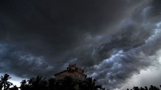 Odisha: 22 districts to witness thunderstorm and lightning
Kalinga TV a 24-hour Odia news channel is part of Kalinga Media & Entertainment Pvt. Ltd. was founded by philanthropist and educationist Dr. Achyuta Samanta with Mr. Himansu Sekhar Khatua the noted film maker at it’s…
- Sudden Showers Warning For Bhubaneswar, Kataka & 7 Odisha Dists This Afternoon
Bhubaneswar: The Meteorological Centre in Bhubaneswar has issued a nowcast warning for seven districts of Odisha, including twin cities of Bhubaneswar and Bhubaneswar: The Meteorological Centre in Bhubaneswar has issued…
- Odisha Low-Pressure Risk Grows as Bay System May Intensify
A possible low-pressure system over the Bay of Bengal may intensify after a cyclonic circulation develops around October 21, while parts of Odisha are expected to receive thunderstorms and rain over the next 24 hours…
-
 IMD Warns Twin Cities Of Thunderstorms, Moderate Rain In Next Three Hours
Bhubaneswar: The India Meteorological Department (IMD) has issued a nowcast warning for light to moderate rain accompanied by thunder and lightning at : The India Meteorological Department (IMD) has issued a nowcast…
- Rain, Thunder To Hit Bhubaneswar, Kataka & 7 Odisha Districts This Afternoon
Bhubaneswar: Rain accompanied by thunder and lightning is likely to lash seven districts of Odisha, including Bhubaneswar and Kataka cities, on Saturday af Bhubaneswar: Rain accompanied by thunder and lightning is…
-
 Favourable weather expected during Dussehra in Odisha, rain unlikely on Vijayadashami
Weather conditions are expected to remain favourable during Dussehra in Odisha, with no likelihood of rain on Vijayadashami. However, parts of southern and coastal Odisha may experience thunderstorms and rain until…
- Meteorological Centre Bhubaneswar predicts thunderstorms across eleven coastal and southern districts - Prameya News
Meteorological Centre Bhubaneswar predicts thunderstorms across eleven coastal and southern districts prameyanews.com Meteorological Centre Bhubaneswar predicts thunderstorms across eleven coastal and southern districts…
-
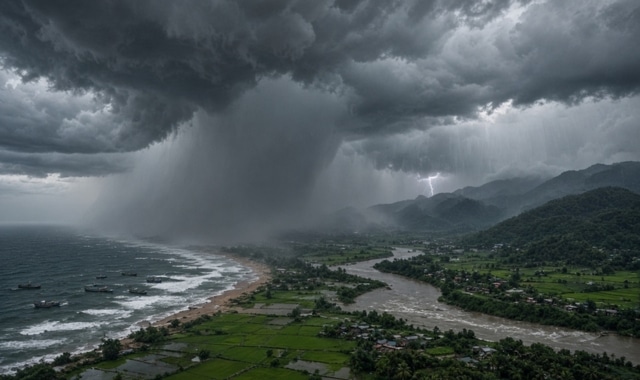 Post-Monsoon Rain Hits Odisha: Easterly Winds and Trough Line Bring Showers to Coastal & Southern Districts
Home » Post-Monsoon Rain Hits Odisha: Easterly Winds and Trough Line Bring Showers to Coastal & Southern Districts Despite the complete withdrawal of the Southwest Monsoon from Odisha on October 15, active easterly…
-
 Fresh Low-Pressure Area Likely over Bay of Bengal, Check details here
Bhubaneswar: Another low-pressure area is likely to form over the Bay of Bengal between October 22 and 27, according to a forecast by the Regional Meteorological Centre. Meanwhile, several parts of Odisha witnessed…
-
 Thunderstorms, Gusty Winds Likely In Odisha; Heavy Rain Alert For Koraput
Bhubaneswar: Thunderstorms accompanied by lightning and gusty winds of 30-40 kmph are likely at isolated places in 10 districts of Odisha, while Koraput may receive heavy rainfall on October 17-18, the India…
Sun & moon
Nearby
- Nowrangapur 50 km
- Jeypore 15 km
- Sunabeda 16 km
- Kotapārh 55 km
- Borigumma 31 km
- Damonojodi 23 km
- Kurmūr 25 km
- Kantabamsuguda 57 km
- Khatiguda 48 km
Forecasts, observations and alerts in the United States come from the National Weather Service (NOAA); radar from NOAA's Multi-Radar Multi-Sensor system; satellite imagery from NASA's Global Imagery Browse Services (GIBS) and NOAA's GOES satellites; the map from the U.S. Geological Survey's National Map; air quality from AirNow (EPA and its partners); hurricane information from the National Hurricane Center; climate normals and records from NOAA's Regional Climate Centers (ACIS). Forecasts outside the United States and the UV index: MET Norway (CC BY 4.0); observations outside the U.S.: airport reports via NOAA's Aviation Weather Center. Place names: GeoNames (CC BY 4.0). Data are copied on a schedule and may lag the sources; for warnings that affect your safety, follow your local National Weather Service office and emergency officials. Weather news is drawn from the 4Search index and reflects what the press published. Terms of use.