Install
Sijunjung, West Sumatra, Indonesia Weather
Current conditions
Forecast for this hour (no station report in the last two hours)
Forecast
10-day-
Sunday
Heavy showers. High 32°. Precipitation 15.5 mm for the day.
-
Sunday Night
Light rain. Low 24°. Precipitation 15.5 mm for the day.
-
Monday
Heavy rain. High 30°. Precipitation 11.1 mm for the day.
MET Norway forecast updated 1 day ago.
Hourly
Hourly forecast- Now24°
- 08:0026°0.2
- 09:0027°0.8
- 10:0028°1.4
- 11:0030°0.8
- 12:0032°0.2
- 13:0029°4.4
- 14:0027°4.8
- 15:0026°1.7
- 16:0026°0.4
- 17:0026°0.5
- 18:0025°0.2
- 19:0025°
- 20:0025°
- 21:0025°
- 22:0025°
- 23:0025°
- Mon00:0025°
- 01:0024°
- 02:0024°
- 03:0024°
- 04:0024°
- 05:0024°
- 06:0023°
Daily forecast
DetailsRadar
Full mapWeather news in Indonesia
More weather news-
 BBC Audio | What in the World | Five ways El Niño is affecting weather around the world
El Niño has been strengthening for several months now and is already having a significant impact on global weather patterns. Countries including Indonesia, India and the United States have been experiencing droughts…
- Will ‘off the charts’ El Niño bring snow to the UK this year?
El Niño could be the strongest the world has seen in the last four decades, as experts warn the UK isn’t immune from its impact This year’s El Niño could be unprecedented in strength and “off the charts” of what has…
-
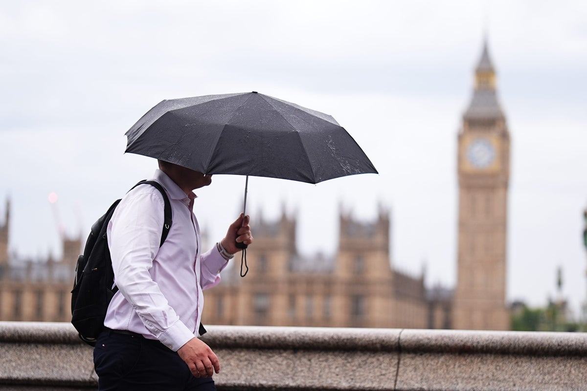 How this year’s ‘off the charts’ El Niño could affect UK weather this winter
El Niño could be the strongest the world has seen in the last four decades, as experts warn the UK isn’t immune from its impact This year’s El Niño could be unprecedented in strength and “off the charts” of what has…
-
 Subtropical Storm Josephine spaghetti models, path, trajectory
Subtropical Storm Josephine formed Wednesday afternoon, Oct. 21, according to the National Hurricane Center in Miami, Florida. Josephine was about 265 miles south of Nantucket, Massachusetts, moving north at 6 mph, with…
-
 Tropical Storm Vance has formed in the Pacific Ocean
Broomfield Enterprise The center of the cyclone was at sea and posed no threat to land. Vance was located about 520 miles south of Acapulco, Mexico. Maximum sustained winds were around 40 mph, according to an advisory…
-
 From cold snaps to stormier winters: How this year’s ‘off the charts’ El Niño could affect UK weather
El Niño could be the strongest the world has seen in the last four decades, as experts warn the UK isn’t immune from its impact This year’s El Niño could be unprecedented in strength and “off the charts” of what has…
-
 MORE HAZE, LESS SPEED
Slow down, runners — here are dos and don'ts for exercising outdoors when the PSI is high Jileen Tan is training for a personal best race time, but has had to cancel outdoor runs over the past two weeks because of poor…
-
 Latest Forecast with Chief Meteorologist Mike LaPoint
A quiet weather pattern is expected to continue through the week across North and Central Texas. High temperatures will steadily climb into the mid 80s with only some passing high clouds. No significant rain chances are…
-
 El Niño impacts global climate: fewer storms in the Atlantic, more in the Pacific
El Niño—a natural meteorological phenomenon in the Pacific Ocean that raises temperatures worldwide—has been intensifying for several months and has already had a significant impact on the global climate, reports BBC…
- A ‘super’ El Niño is impacting weather globally – here's how it could affect travel plans now and in the future
El Niño has officially arrived, and some forecasters are suggesting it could eventually develop into a rare “super” event capable of dramatically altering weather patterns across much of the planet, from the safari…
Sun & moon
Nearby
- Solok 37 km
Forecasts, observations and alerts in the United States come from the National Weather Service (NOAA); radar from NOAA's Multi-Radar Multi-Sensor system; satellite imagery from NASA's Global Imagery Browse Services (GIBS) and NOAA's GOES satellites; the map from the U.S. Geological Survey's National Map; air quality from AirNow (EPA and its partners); hurricane information from the National Hurricane Center; climate normals and records from NOAA's Regional Climate Centers (ACIS). Forecasts outside the United States and the UV index: MET Norway (CC BY 4.0); observations outside the U.S.: airport reports via NOAA's Aviation Weather Center. Place names: GeoNames (CC BY 4.0). Data are copied on a schedule and may lag the sources; for warnings that affect your safety, follow your local National Weather Service office and emergency officials. Weather news is drawn from the 4Search index and reflects what the press published. Terms of use.