Install
Bekasi, West Java, Indonesia Weather
Current conditions
Forecast for this hour (no station report in the last two hours)
Forecast
10-day-
Saturday
Heavy rain. High 34°. Precipitation 8.2 mm for the day.
-
Saturday Night
Heavy rain. Low 25°. Precipitation 8.2 mm for the day.
-
Sunday
Heavy rain. High 32°. Precipitation 14.4 mm for the day.
MET Norway forecast updated 1 day ago.
Hourly
Hourly forecast- Now26°
- 20:0026°0.2
- 21:0026°
- 22:0026°
- 23:0025°
- Sun00:0025°0.2
- 01:0025°0.2
- 02:0025°
- 03:0025°
- 04:0025°
- 05:0024°
- 06:0025°
- 07:0026°
- 08:0028°
- 09:0030°0.5
- 10:0031°0.5
- 11:0032°
- 12:0032°1.0
- 13:0031°1.0
- 14:0032°0.8
- 15:0030°0.3
- 16:0030°1.1
- 17:0027°5.1
- 18:0025°2.4
Daily forecast
DetailsRadar
Full mapWeather news near Bekasi
More weather news-
 Subtropical Storm Josephine spaghetti models, path, trajectory
Subtropical Storm Josephine formed Wednesday afternoon, Oct. 21, according to the National Hurricane Center in Miami, Florida. Josephine was about 265 miles south of Nantucket, Massachusetts, moving north at 6 mph, with…
-
 BMKG: Haze from Forest Fires Briefly Detected in Jabodetabek, Now Moving Away
This article was translated by AI. Read the original article on Kompas.com. See Original JAKARTA, KOMPAS.com - The Meteorology, Climatology, and Geophysical Agency (BMKG) has observed that the haze from forest and land…
-
 Jabodetabek Weather Friday, October 16: Except Tangerang, Jakarta-Bogor Rain in the Afternoon
JAKARTA - The weather in the Jakarta, Bogor, Depok, Tangerang, and Bekasi (Jabodetabek) regions on Friday, October 16, 2026, is predicted to vary, ranging from clear to cloudy to light and moderate rain. The air…
-
 BMKG Explains Extreme Heat in Indonesia, Temperatures Hit 38.2°C
The Meteorology, Climatology, and Geophysics Agency (BMKG) has explained the causes of the extreme heat affecting various regions in Indonesia, with temperatures reaching 38.2 degrees Celsius in Lampung. Jakarta…
-
 Hurricane Trudy to 'rapidly intensify' on course for western Mexico
Hurricane Trudy is expected to "rapidly intensify" while taking aim at the Cabo Corrientes region of western Mexico, according to the National Hurricane Center. On Thursday afternoon, Hurricane Trudy boasted 90-mph…
-
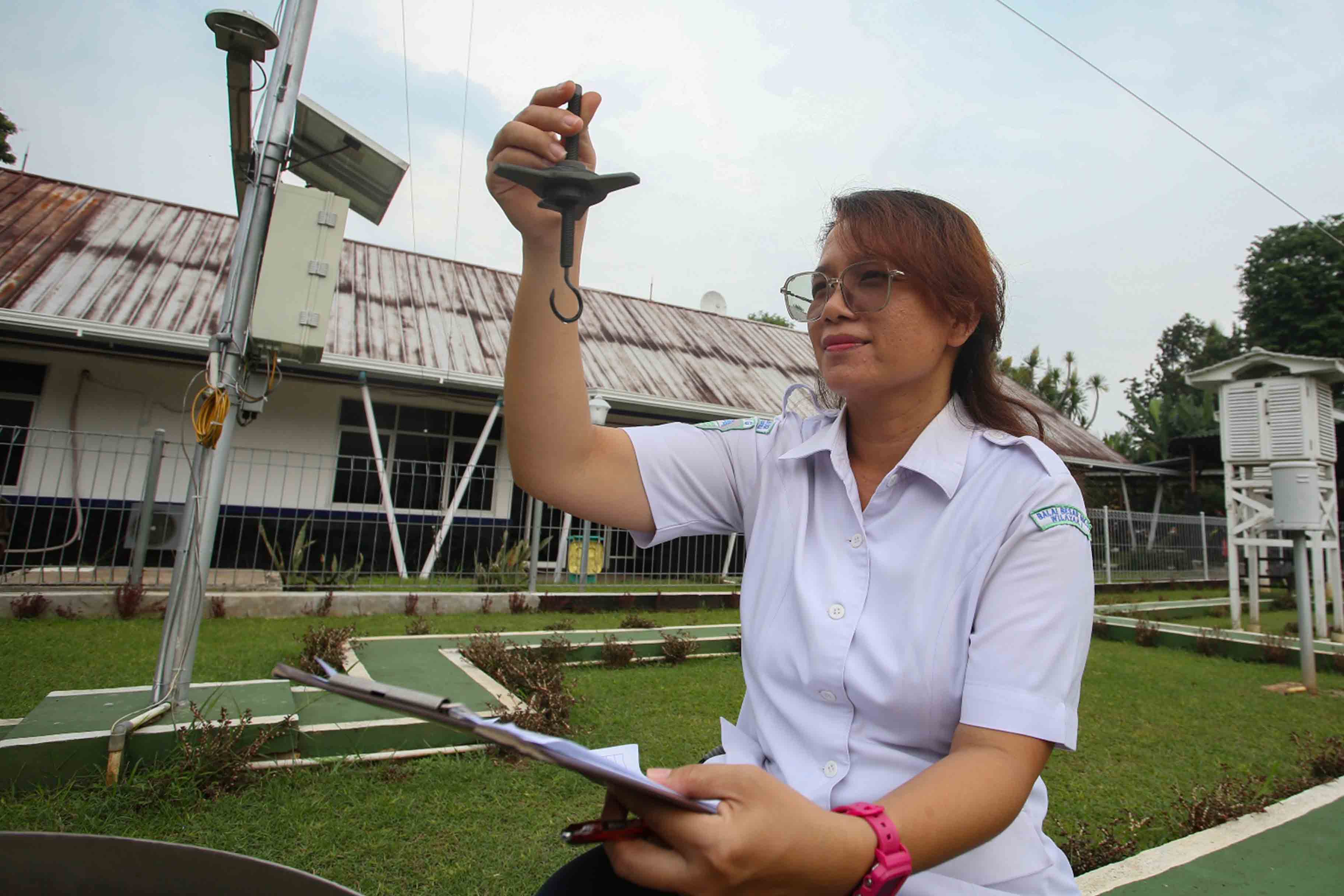 Light Rains to Blanket Most of Indonesia as Meteorology Agency Flags Thunderstorms and Haze
JAKARTA, Investortrust.id — Light showers are projected to dominate conditions across large parts of Indonesia on Sunday, according to the latest national weather forecast released by the country’s meteorological…
-
 BBC Audio | What in the World | Five ways El Niño is affecting weather around the world
El Niño has been strengthening for several months now and is already having a significant impact on global weather patterns. Countries including Indonesia, India and the United States have been experiencing droughts…
- Will ‘off the charts’ El Niño bring snow to the UK this year?
El Niño could be the strongest the world has seen in the last four decades, as experts warn the UK isn’t immune from its impact This year’s El Niño could be unprecedented in strength and “off the charts” of what has…
-
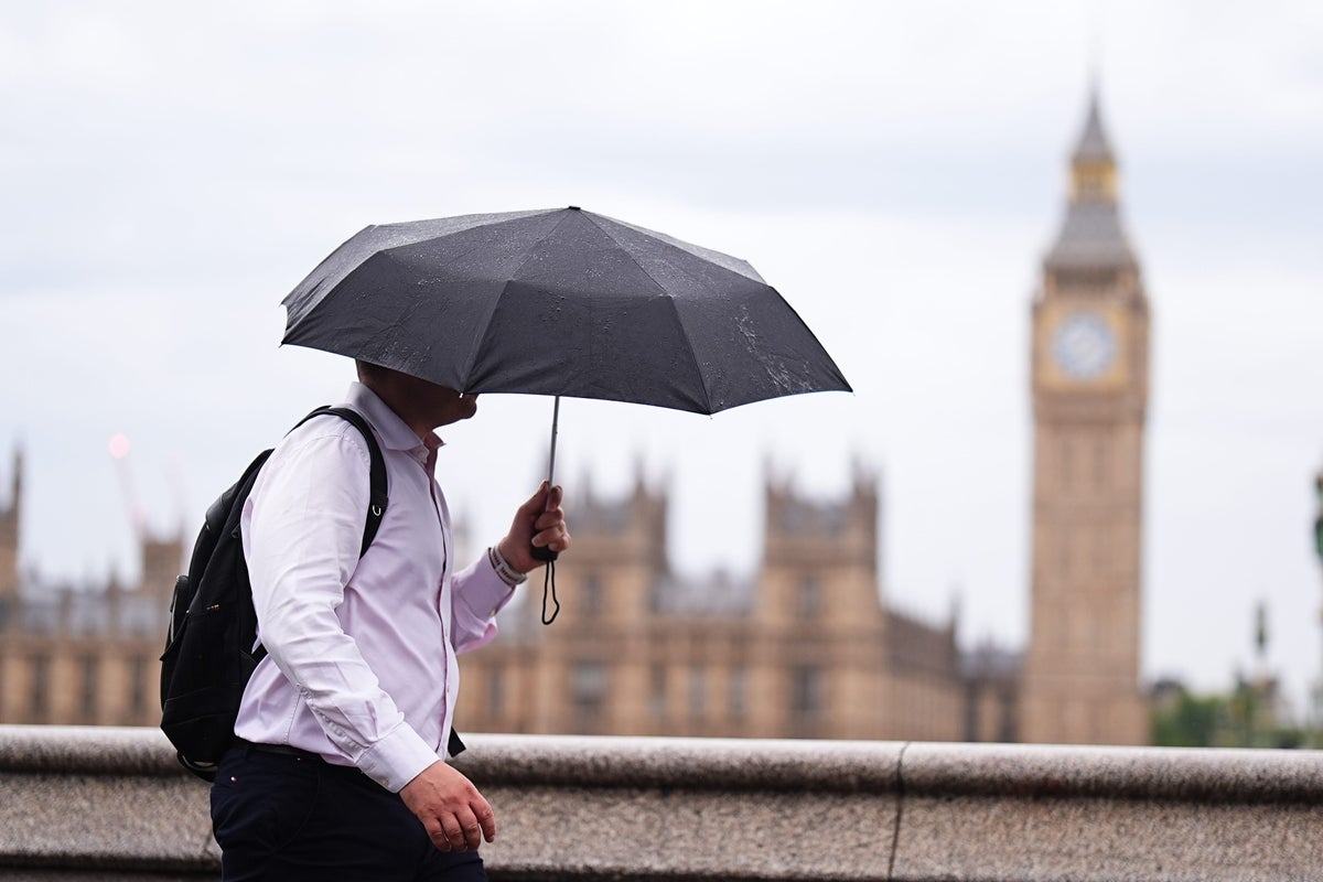 How this year’s ‘off the charts’ El Niño could affect UK weather this winter
El Niño could be the strongest the world has seen in the last four decades, as experts warn the UK isn’t immune from its impact This year’s El Niño could be unprecedented in strength and “off the charts” of what has…
-
 Tropical Storm Vance has formed in the Pacific Ocean
Broomfield Enterprise The center of the cyclone was at sea and posed no threat to land. Vance was located about 520 miles south of Acapulco, Mexico. Maximum sustained winds were around 40 mph, according to an advisory…
Sun & moon
Nearby
- Jakarta 16 km
- Depok 26 km
- Tangerang 40 km
- South Tangerang 31 km
- Bogor 46 km
- Cibinong 31 km
- Karawang 37 km
- Cileungsir 18 km
- Pasarkemis 51 km
- Citeureup 30 km
- Ciputat 33 km
- Ciampea 48 km
Forecasts, observations and alerts in the United States come from the National Weather Service (NOAA); radar from NOAA's Multi-Radar Multi-Sensor system; satellite imagery from NASA's Global Imagery Browse Services (GIBS) and NOAA's GOES satellites; the map from the U.S. Geological Survey's National Map; air quality from AirNow (EPA and its partners); hurricane information from the National Hurricane Center; climate normals and records from NOAA's Regional Climate Centers (ACIS). Forecasts outside the United States and the UV index: MET Norway (CC BY 4.0); observations outside the U.S.: airport reports via NOAA's Aviation Weather Center. Place names: GeoNames (CC BY 4.0). Data are copied on a schedule and may lag the sources; for warnings that affect your safety, follow your local National Weather Service office and emergency officials. Weather news is drawn from the 4Search index and reflects what the press published. Terms of use.