Install
Wong Chuk Hang, Southern District, Hong Kong Weather
Current conditions
Observed at Hong Kong Intl · 1 hr ago
Forecast
10-day-
Sunday
Partly cloudy. High 31°.
-
Sunday Night
Cloudy. Low 24°.
-
Monday
Partly cloudy. High 31°.
MET Norway forecast updated 3 days ago.
Daily forecast
DetailsRadar
Full mapWeather news near Wong Chuk Hang
More weather news-
 Plan My Day Victoria Tuesday
crossroadstoday.com Cool mornings, warm afternoons to continue, with increasing humidity.
-
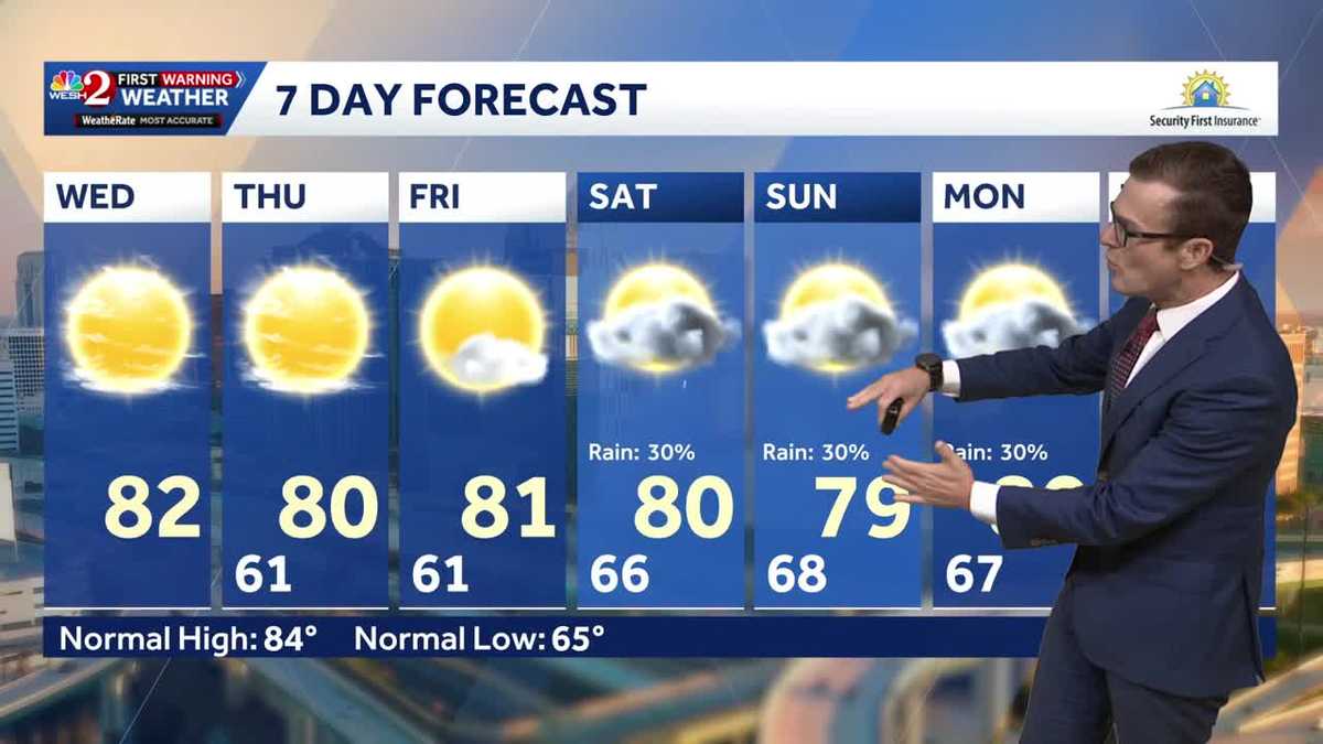 Cool this morning, mostly clear skies ahead for Central Florida
Central Florida is starting off nice and cool, with mostly clear skies expected today. High temperatures will remain around 80 degrees through the weekend, while morning lows stay in the lower 60s over the next few…
-
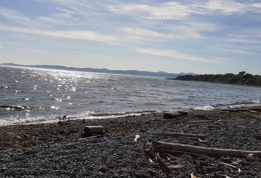 Sunny conditions dominate Greater Victoria’s forecast this week
We provide onsite septic services Although fall temperatures have set in for Greater Victoria, this week’s forecast is dominated by sunny conditions. According to Environment Canada, on Monday October 19th, conditions…
-
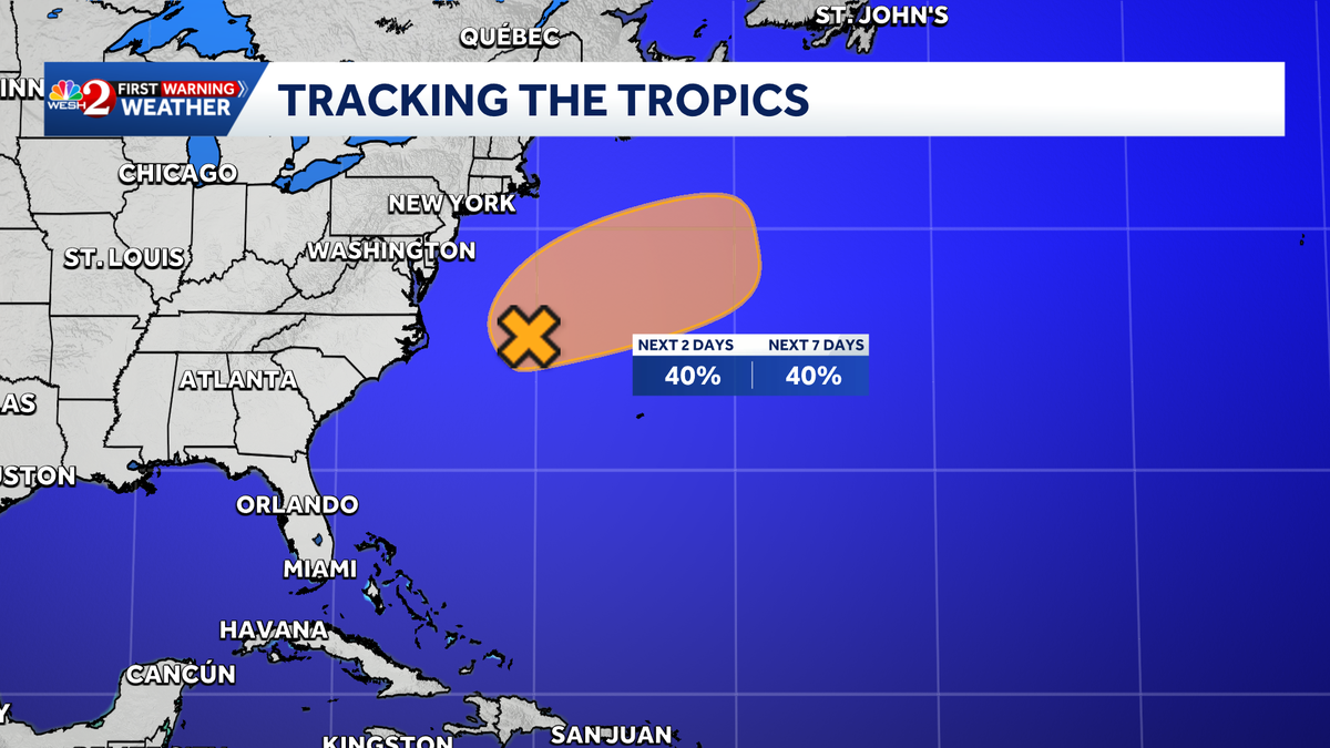 Invest 93-L has 40% chance of subtropical development in Atlantic, NHC says
A low-pressure system off the U.S. East Coast could briefly develop subtropical characteristics over the next few days, according to the National Hurricane Center. The system, designated Invest 93-L, is located a few…
-
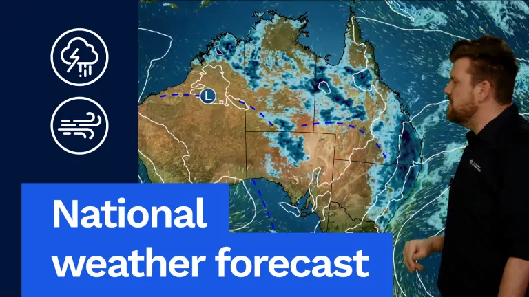 Rain, Storms Forecast Across East and North
We're likely to see widespread rain and thunderstorms and some of them could be severe, particularly through our inland areas of Queensland with large hail, damaging winds and heavy rainfall, and we could have a bit of…
-
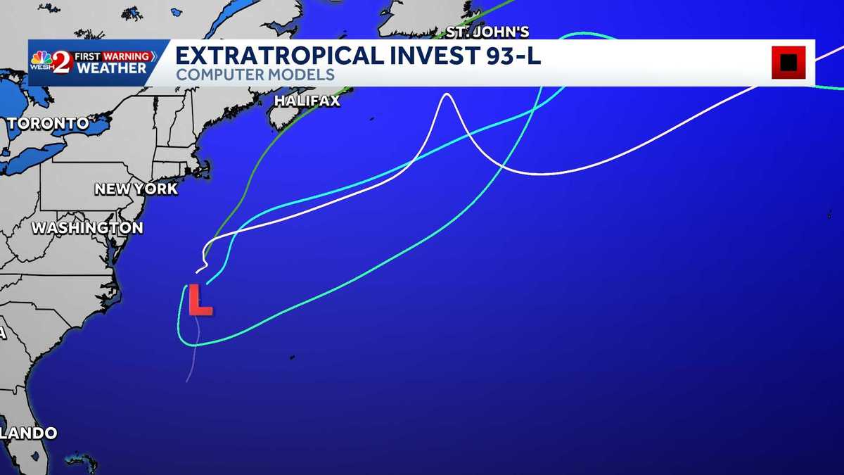 Invest 93-L: Maps, spaghetti models
The National Hurricane Center is monitoring Invest 93-L in the Atlantic. >> Bookmark this page for the latest maps and models. RESOURCES | HURRICANE SEASON SPECIAL | WESH LONG-RANGE FORECAST | WHAT TO KNOW ABOUT…
-
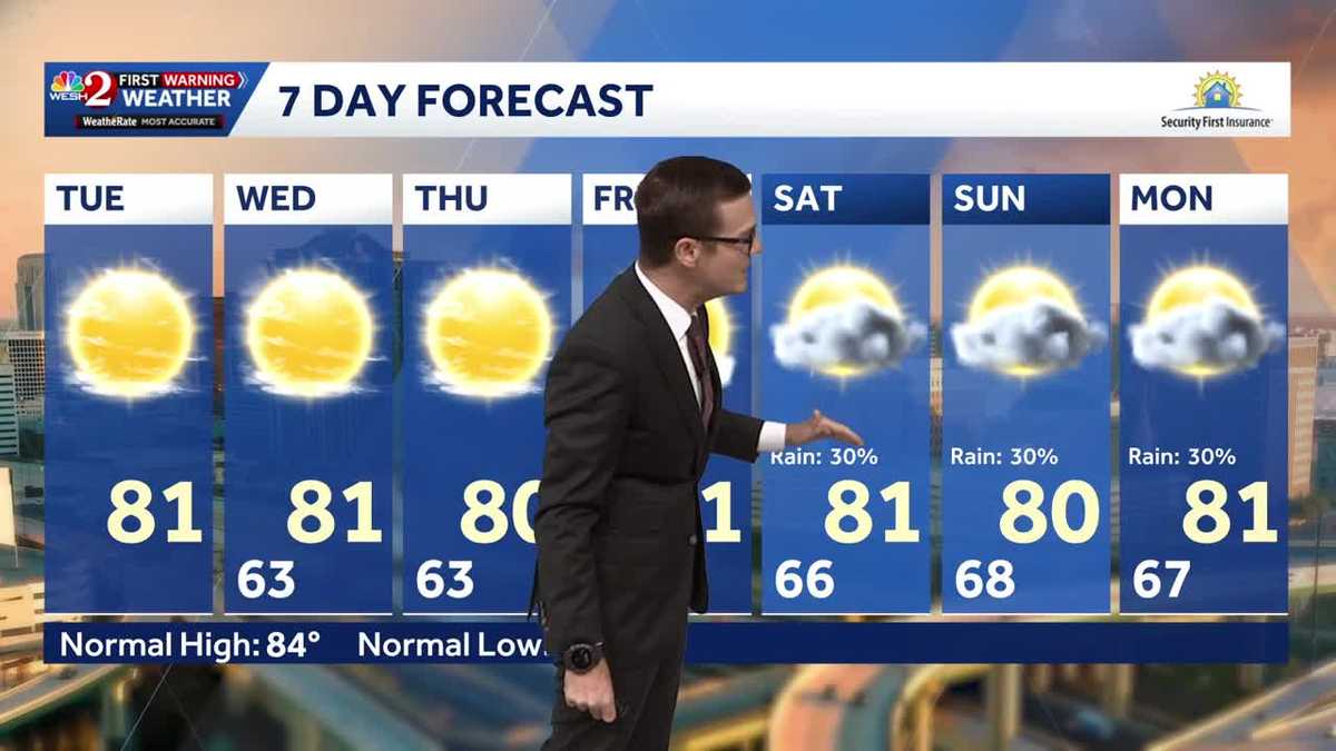 Cool morning temps, sunshine expected across Central Florida
Central Florida is waking up to cooler temperatures Tuesday morning, with comfortable conditions expected to continue throughout the day. Temperatures are starting in the 50s and 60s across much of the region, with some…
-
 Nice weather continues with small coastal rain showers Wednesday
Cool mornings, warm afternoons to continue, with increasing humidity. Cool mornings, warm afternoons to continue, with increasing humidity.What we are tracking: Nice conditions continue with mostly sunny to partly…
-
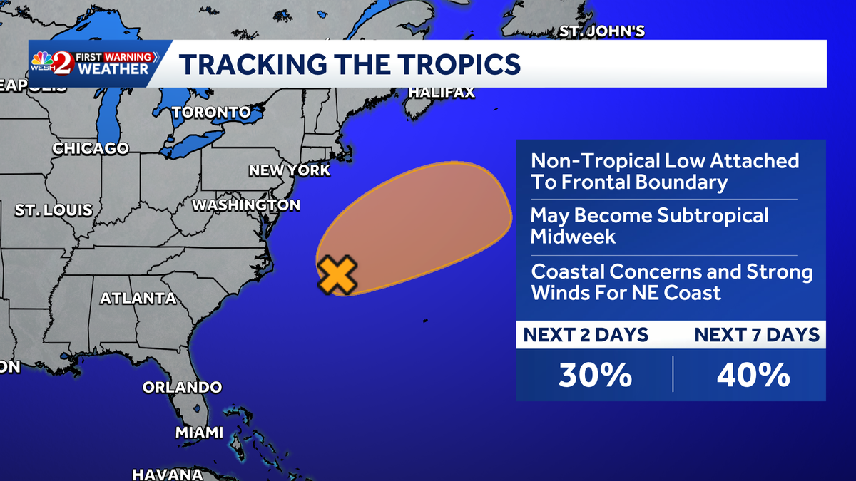 Invest 93-L could develop as dangerous surf threatens East Coast, NHC says
A storm system off the North Carolina coast has a medium chance of developing into a subtropical or tropical system, according to the National Hurricane Center. The system, designated Invest 93-L, is a powerful…
-
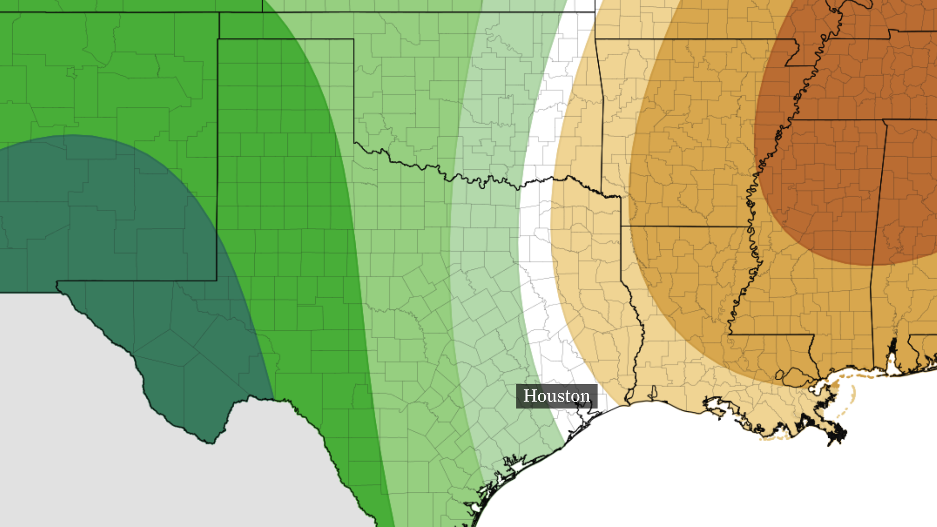 Houston drought deepens as rain chances remain slim this week
The precipitation outlook from NOAA’s Climate Prediction Center for Oct. 24-28 shows below-normal rainfall is expected near and east of Houston, with above-normal precipitation across much of the state. The Houston…
Sun & moon
Nearby
- Hong Kong 4 km
- Victoria 6 km
- Sha Tin 16 km
- Sham Shui Po 10 km
- Wong Tai Sin 12 km
- Kowloon City 10 km
- Tseung Kwan O 13 km
- Kwai Chung 15 km
- Tsuen Wan 16 km
- Tai Po 23 km
- Ma On Shan 20 km
- Tsing Yi Town 14 km
Forecasts, observations and alerts in the United States come from the National Weather Service (NOAA); radar from NOAA's Multi-Radar Multi-Sensor system; satellite imagery from NASA's Global Imagery Browse Services (GIBS) and NOAA's GOES satellites; the map from the U.S. Geological Survey's National Map; air quality from AirNow (EPA and its partners); hurricane information from the National Hurricane Center; climate normals and records from NOAA's Regional Climate Centers (ACIS). Forecasts outside the United States and the UV index: MET Norway (CC BY 4.0); observations outside the U.S.: airport reports via NOAA's Aviation Weather Center. Place names: GeoNames (CC BY 4.0). Data are copied on a schedule and may lag the sources; for warnings that affect your safety, follow your local National Weather Service office and emergency officials. Weather news is drawn from the 4Search index and reflects what the press published. Terms of use. How to use Weather