Install
Pok Hong, Sha Tin, Hong Kong Weather
Current conditions
Observed at Hong Kong Intl · 50 min ago
Forecast
10-day-
Sunday
Cloudy. High 30°.
-
Sunday Night
Partly cloudy. Low 21°.
-
Monday
Light showers. High 29°. Precipitation 0.7 mm for the day.
MET Norway forecast updated 9 hrs ago.
Hourly
Hourly forecast- Now30°
- 13:0030°
- 14:0029°
- 15:0029°
- 16:0029°
- 17:0028°
- 18:0026°
- 19:0025°
- 20:0024°
- 21:0024°
- 22:0024°
- 23:0024°
- Mon00:0024°
- 01:0023°
- 02:0023°
- 03:0023°
- 04:0023°
- 05:0022°
- 06:0022°
- 07:0023°
- 08:0025°
- 09:0027°
- 10:0028°
- 11:0029°
Daily forecast
DetailsRadar
Full mapWeather news in Hong Kong
More weather news-
 Taiwan Halts Stock Trade, Shuts Schools as Typhoon Champi Nears
Taiwan will suspend trading on its stock exchange and shut schools in most areas on Friday as Typhoon Champi approaches the island, disrupting flights and threatening heavy rainfall. Champi is currently 713 kilometers…
-
 Super Typhoon Champi Path: Will It Hit Taiwan? Forecast, Wind Speed, Warnings And Safety Measures
Super Typhoon Champi is moving across the western North Pacific towards waters east of Taiwan, raising concerns about heavy rainfall, powerful winds and possible travel disruptions. However, the latest forecasts suggest…
- Record late heat warning on 21st October as Amos Tai links Champi, El Niño and warming, warning of a warmer winter
Dimsum Daily 21st October 2026 â (Hong Kong) Hong Kong sweltered under unseasonably high temperatures today as the Observatory issued a Very Hot Weather Warning at 6.45am, setting a record for the latest occurrence of…
-
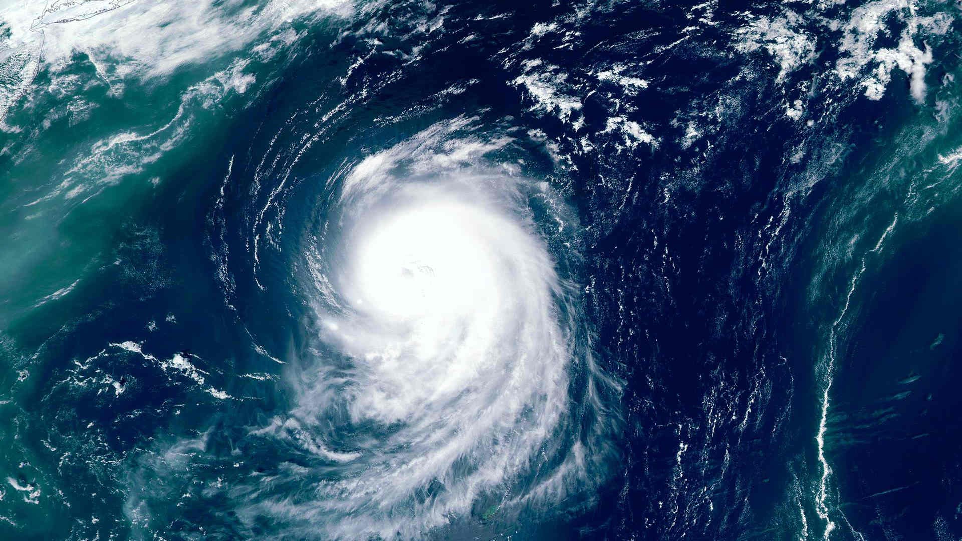 Super Typhoon Champi intensifies as East Asia braces for severe weather
Super Typhoon Champi strengthened significantly on 21 October as it moved across the northwestern Pacific, with forecasts pointing to severe weather across parts of East Asia in the coming days. Estimates of Champi’s…
-
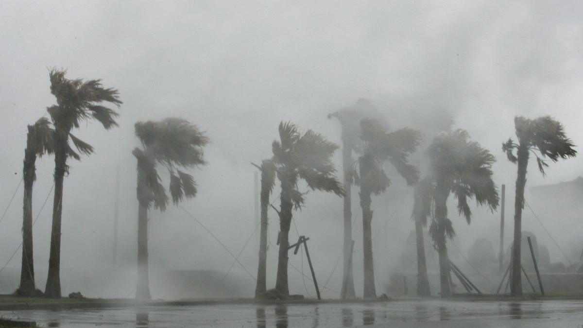 Super Typhoon Champi becomes world's strongest cyclone of 2026, winds hit 296 kmph
Super Typhoon Champi has recorded winds of 296 kmph, becoming the strongest tropical cyclone of 2026 so far as it moves towards waters east of Taiwan. Super Typhoon Champi has emerged as the most powerful tropical…
-
 MORE HAZE, LESS SPEED
Slow down, runners — here are dos and don'ts for exercising outdoors when the PSI is high Jileen Tan is training for a personal best race time, but has had to cancel outdoor runs over the past two weeks because of poor…
-
 HK bakes in record Oct heat amid latest-ever Very Hot Weather Warning
Hong Kong saw the latest issuance of a Very Hot Weather warning in a year on Wednesday, as the city sweltered during an exceptionally hot October. The warning – which was raised at 6.45am – is triggered based on a heat…
- Champi stays outside Hong Kong as sinking air brings extreme heat; Sheung Shui 37°C on Wednesday
Super Typhoon Champi is bearing down on Taiwan but will stay outside Hong Kongâs 800-kilometre tropical cyclone warning radius, while its outer sinking air is set to usher in sunny, scorching and very dry weather from…
- Haze running dos and don’ts for outdoor runners in Singapore
Published Oct 20, 2026, 12:15 PM Updated Oct 20, 2026, 07:05 PM SINGAPORE – Jileen Tan is training for a personal best race time, but has had to cancel outdoor runs over the past two weeks because of poor air quality…
- Super Typhoon Champi to threaten Taiwan; Hong Kong risk under 30%
Travellers bound for Taiwan were put on notice as Super Typhoon Champi gathered strength over the western North Pacific, with weather offices across the region steering the storm toward the island while the Hong Kong…
Sun & moon
Nearby
- Hong Kong 11 km
- Victoria 11 km
- Sha Tin 2 km
- Sham Shui Po 6 km
- Wong Tai Sin 3 km
- Kowloon City 5 km
- Tseung Kwan O 8 km
- Kwai Chung 6 km
- Tsuen Wan 9 km
- Tai Po 9 km
- Fanling 14 km
- Ma On Shan 6 km
Forecasts, observations and alerts in the United States come from the National Weather Service (NOAA); radar from NOAA's Multi-Radar Multi-Sensor system; satellite imagery from NASA's Global Imagery Browse Services (GIBS) and NOAA's GOES satellites; the map from the U.S. Geological Survey's National Map; air quality from AirNow (EPA and its partners); hurricane information from the National Hurricane Center; climate normals and records from NOAA's Regional Climate Centers (ACIS). Forecasts outside the United States and the UV index: MET Norway (CC BY 4.0); observations outside the U.S.: airport reports via NOAA's Aviation Weather Center. Place names: GeoNames (CC BY 4.0). Data are copied on a schedule and may lag the sources; for warnings that affect your safety, follow your local National Weather Service office and emergency officials. Weather news is drawn from the 4Search index and reflects what the press published. Terms of use.