Install
Cheung Chau, Islands, Hong Kong Weather
Current conditions
Forecast for this hour (no station report in the last two hours)
Forecast
10-day-
Sunday
Cloudy. High 28°.
-
Sunday Night
Cloudy. Low 27°.
-
Monday
Mostly sunny. High 28°. Precipitation 0.2 mm for the day.
MET Norway forecast updated 4 days ago.
Daily forecast
DetailsRadar
Full mapWeather news near Cheung Chau
More weather news-
 Plan My Day Victoria Tuesday
crossroadstoday.com Cool mornings, warm afternoons to continue, with increasing humidity.
-
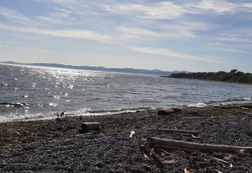 Sunny conditions dominate Greater Victoria’s forecast this week
We provide onsite septic services Although fall temperatures have set in for Greater Victoria, this week’s forecast is dominated by sunny conditions. According to Environment Canada, on Monday October 19th, conditions…
- Super Typhoon Champi to threaten Taiwan; Hong Kong risk under 30%
Travellers bound for Taiwan were put on notice as Super Typhoon Champi gathered strength over the western North Pacific, with weather offices across the region steering the storm toward the island while the Hong Kong…
-
 Plan My Day Victoria Monday
crossroadstoday.com 7 Day Extended Forecast Plan My Day Victoria Monday Warming trend expected with rising temperatures and humidity After a sunny, dry and cool weekend, a warming and humidifying trend will begin. Man…
-
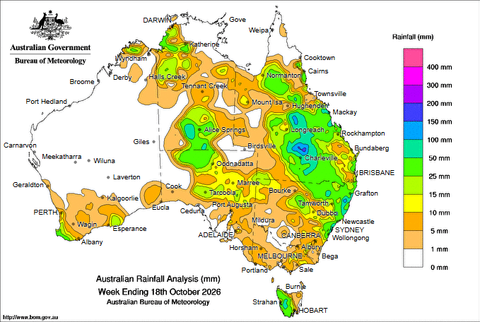 Widespread rain hits Qld and cuts highways, more forecast this week
Rainfall past seven days IN what is shaping as the most influential and widespread rain event in at least eight months, more than 100mm of rain has fallen across parts of Queensland, cutting highways and reducing…
-
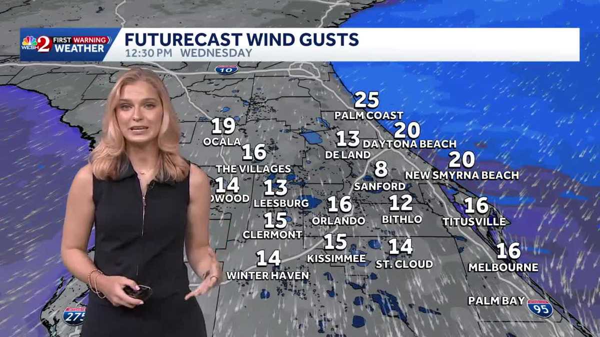 Breezy & comfortable trend for Central Florida
WESH Breezy & comfortable trend for Central Florida Track the forecast with meteorologist Victoria Wisniewski Tonight, tempertures remain in the 60s with mostly clear conditions. By Tuesday morning, expect a bright…
-
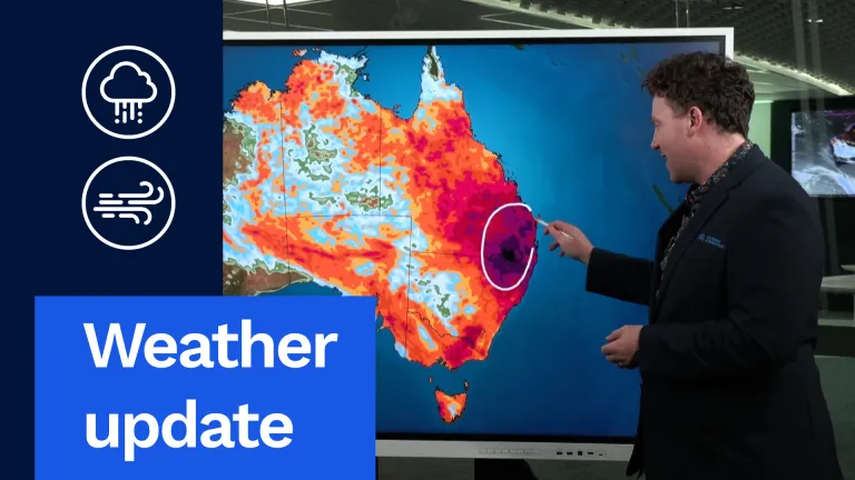 Stormy, Wet Weather to Hit Much of Australia This Week
And I want to start off with this exact map right here. This is our rainfall accumulation map. I've pushed it out through until the end of the weekend. So this is about the next six days' worth of rainfall, really…
-
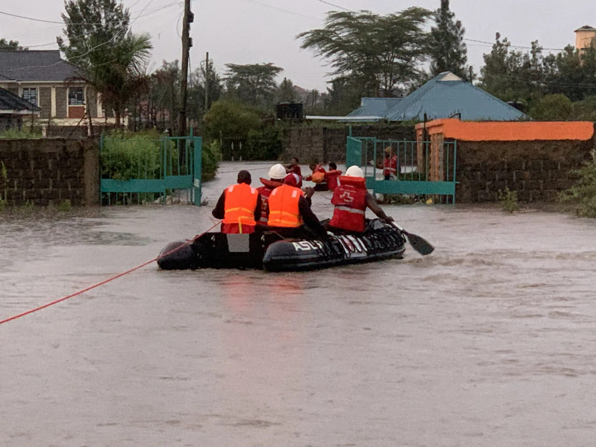 Kenya braces for El Niño rains as Met forecasts showers in 44 counties
NAIROBI, Kenya Oct 19 – Kenya is bracing for an increasingly wet October–December season, with the Kenya Meteorological Department forecasting rainfall across dozens of counties this week as the country prepares for the…
- HK Observatory expects Super Typhoon Champi to keep strengthening
Dimsum Daily 18th October 2026 – (Hong Kong) Super Typhoon Champi over the western North Pacific is expected to keep intensifying as it crosses the Guam area, the Hong Kong Observatory said, while European and US…
-
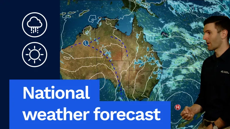 Severe Storms Possible in SA and Western Vic
G'day, David from the bureau here to take a look at the weather around the country for tomorrow, and let's have a look at the national map to start with. Here's this blocking high. It's barely been moving the last few…
Sun & moon
Nearby
- Hong Kong 17 km
- Victoria 15 km
- Tuen Mun 21 km
- Sha Tin 25 km
- Sham Shui Po 19 km
- Wong Tai Sin 22 km
- Kowloon City 22 km
- Tseung Kwan O 26 km
- Kwai Chung 21 km
- Tsuen Wan 20 km
- Yuen Long San Hui 25 km
- Yuen Long 26 km
Forecasts, observations and alerts in the United States come from the National Weather Service (NOAA); radar from NOAA's Multi-Radar Multi-Sensor system; satellite imagery from NASA's Global Imagery Browse Services (GIBS) and NOAA's GOES satellites; the map from the U.S. Geological Survey's National Map; air quality from AirNow (EPA and its partners); hurricane information from the National Hurricane Center; climate normals and records from NOAA's Regional Climate Centers (ACIS). Forecasts outside the United States and the UV index: MET Norway (CC BY 4.0); observations outside the U.S.: airport reports via NOAA's Aviation Weather Center. Place names: GeoNames (CC BY 4.0). Data are copied on a schedule and may lag the sources; for warnings that affect your safety, follow your local National Weather Service office and emergency officials. Weather news is drawn from the 4Search index and reflects what the press published. Terms of use.