Install
Tínos, South Aegean, Greece Weather
Current conditions
Forecast for this hour (no station report in the last two hours)
Forecast
10-day-
Friday
Rain. High 20°. Precipitation 1.6 mm for the day.
-
Friday Night
Partly cloudy. Low 19°. Precipitation 1.6 mm for the day.
-
Saturday
Partly cloudy. High 20°.
MET Norway forecast updated 9 hrs ago.
Hourly
Hourly forecast- Now20°0.4
- 15:0020°0.2
- 16:0020°
- 17:0020°
- 18:0020°
- 19:0020°
- 20:0020°
- 21:0019°
- 22:0019°
- 23:0019°
- Sat00:0019°
- 01:0019°
- 02:0019°
- 03:0019°
- 04:0019°
- 05:0019°
- 06:0019°
- 07:0019°
- 08:0019°
- 09:0019°
- 10:0019°
- 11:0020°
- 12:0020°
- 13:0020°
Daily forecast
DetailsRadar
Full mapWeather news in Greece
More weather news-
 Rain and Storms to Sweep Across Greece Thursday
Athens is turning to international law and diplomatic pressure after Eastern Libya backed the disputed maritime pact, as Israel, Egypt and the EU reject the move and Greece weighs its next steps in the Eastern…
- New Dust Wave Expected From Saturday as Rain Prospects Remain Uncertain
A new dust episode is expected to reach Cyprus from Saturday, with increased concentrations likely to persist throughout the weekend before gradually easing from Monday, according to officials from the Meteorological…
-
 Warmer days are coming for Houston but no runaway heat for the weekend
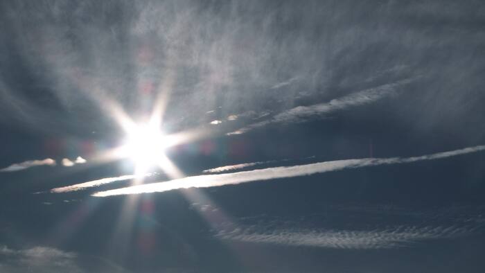
Each day, morning and afternoon temperatures will rise by a couple of degrees. Gone are the mornings in the 40s and afternoons in the 70s. It won’t be hot, but we’re losing that crisp fall feel the rest of the week…
-
 Rain and Storms to Sweep Into Greece as Winds Strengthen
Eastern Libya’s ratification of the disputed 2019 maritime agreement with Turkey is shifting the balance in the Eastern Mediterranean, highlighting Ankara’s growing influence in Benghazi and raising questions over…
-
 Heavy mountain rain with quiet and warm conditions east of the mountains
After special envoy Steve Witkoff told Putin he was a "humanitarian" for releasing a U.S. citizen deemed to have been wrongfully detained, GOP Sen. John Cornyn responded, "No. Putin is a stone cold killer." ATHENS, Oct…
-
 Heavy Rain and Thunderstorms Expected Across Western Bulgaria on Thursday
A yellow weather warning has been issued for eight regions in western Bulgaria for Thursday, October 22, as heavy rain and thunderstorms are expected with the approach of a cold front, according to the forecast. Cloud…
-
 A stubborn 'omega block' is keeping Houston warm and dry. How long will it last?
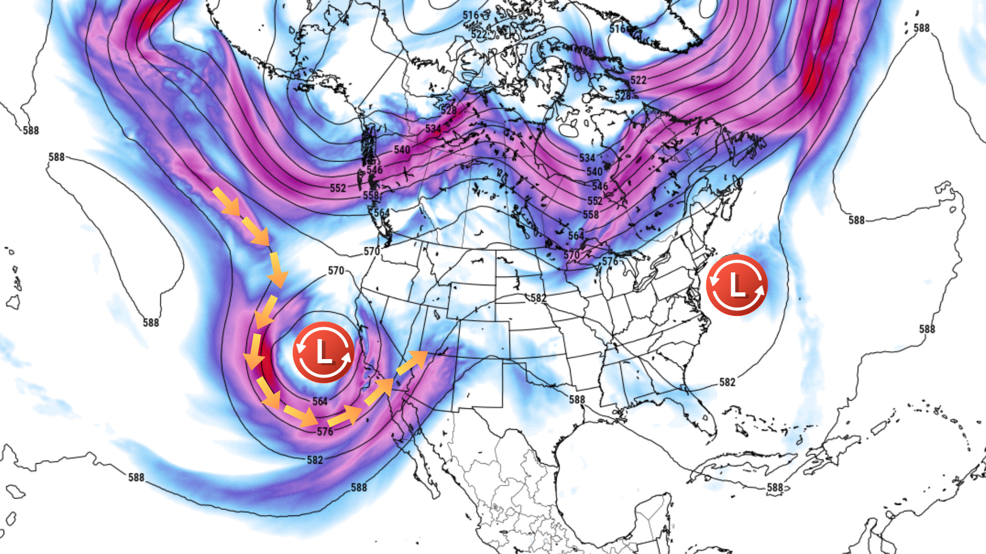
A stubborn "omega block" is setting Houston up for a warm, dry stretch, with the pattern likely to hold through the weekend. A few showers could reach coastal areas south of Houston early Wednesday morning, but most…
-
 Warmer days are coming for Houston but the humidity remains low
Click2Houston Each day, morning and afternoon temperatures will rise by a couple of degrees. Gone are the mornings in the 40s and afternoons in the 70s. It won’t be hot, but we’re losing that crisp fall feel the rest of…
-
 PAT NEAL: A winter weather forecast
Published 1:30 am Wednesday, October 21, 2026 By Pat Neal For Peninsula Daily News ONE OF MY favorite trees is an old cottonwood near my home. While I would not recommend having one of these trees anywhere near your…
-
 'Omega block' pattern will keep Houston warm, dry. What can break it?
A forecast map of 500-millibar winds, roughly 18,000 feet above the ground, shows strong winds wrapping around a low pressure system over the Southwest. The ridge of high air pressure between them is part of the “omega…
Forecasts, observations and alerts in the United States come from the National Weather Service (NOAA); radar from NOAA's Multi-Radar Multi-Sensor system; satellite imagery from NASA's Global Imagery Browse Services (GIBS) and NOAA's GOES satellites; the map from the U.S. Geological Survey's National Map; air quality from AirNow (EPA and its partners); hurricane information from the National Hurricane Center; climate normals and records from NOAA's Regional Climate Centers (ACIS). Forecasts outside the United States and the UV index: MET Norway (CC BY 4.0); observations outside the U.S.: airport reports via NOAA's Aviation Weather Center. Place names: GeoNames (CC BY 4.0). Data are copied on a schedule and may lag the sources; for warnings that affect your safety, follow your local National Weather Service office and emergency officials. Weather news is drawn from the 4Search index and reflects what the press published. Terms of use.