Install
Nanortalik, Kujalleq, Greenland Weather
Current conditions
Forecast for this hour (no station report in the last two hours)
Forecast
10-day-
Saturday
Light snow. High 1°. Precipitation 0.4 mm for the day.
-
Saturday Night
Fog. Low -2°. Precipitation 0.4 mm for the day.
-
Sunday
Snow. High 1°. Precipitation 1.4 mm for the day.
MET Norway forecast updated 3 hrs ago.
Hourly
Hourly forecast- Now0°
- 17:000°
- 18:00-0°
- 19:00-1°
- 20:00-2°
- 21:00-2°
- 22:00-2°
- 23:00-2°
- 23:00-2°
- Sun00:00-2°
- 01:00-2°
- 02:00-2°
- 03:00-2°
- 04:00-1°0.2
- 05:00-1°0.3
- 06:00-1°0.4
- 07:00-1°0.3
- 08:00-1°
- 09:00-1°
- 10:00-0°
- 11:000°
- 12:001°
- 13:001°
- 14:000°
10-day forecast
DetailsRadar
Full mapWeather news in Greenland
More weather news-
 The spooky secret hiding inside Pacific Northwest Glaciers | CNN
Glacier ice worms look like monsters from a horror movie. But they could reveal clues to how life survives in extremes — if they survive human-made warming. An astronaut aboard SpaceX Dragon and a videographer beside a…
-
 Fire whirl flares during French protests | CNN
A fire whirl was spotted briefly during anti-government protests in Clermont-Ferrand, a city in central France. An astronaut aboard SpaceX Dragon and a videographer beside a lake in Canada share two amazing views of…
-
 Super Typhoon Champi is the strongest storm of the year | CNN
Super Typhoon Champi's sustained winds swelled to 185 mph, making it the strongest storm to form on the planet this year. An astronaut aboard SpaceX Dragon and a videographer beside a lake in Canada share two amazing…
-
 Violent storms drench Corsica and southern France | CNN
On Tuesday, “unprecedented” precipitation hit Corsica, a French island in the Mediterranean. Over four months of rain (21 inches) fell in six hours, setting a new record for France. An astronaut aboard SpaceX Dragon and…
-
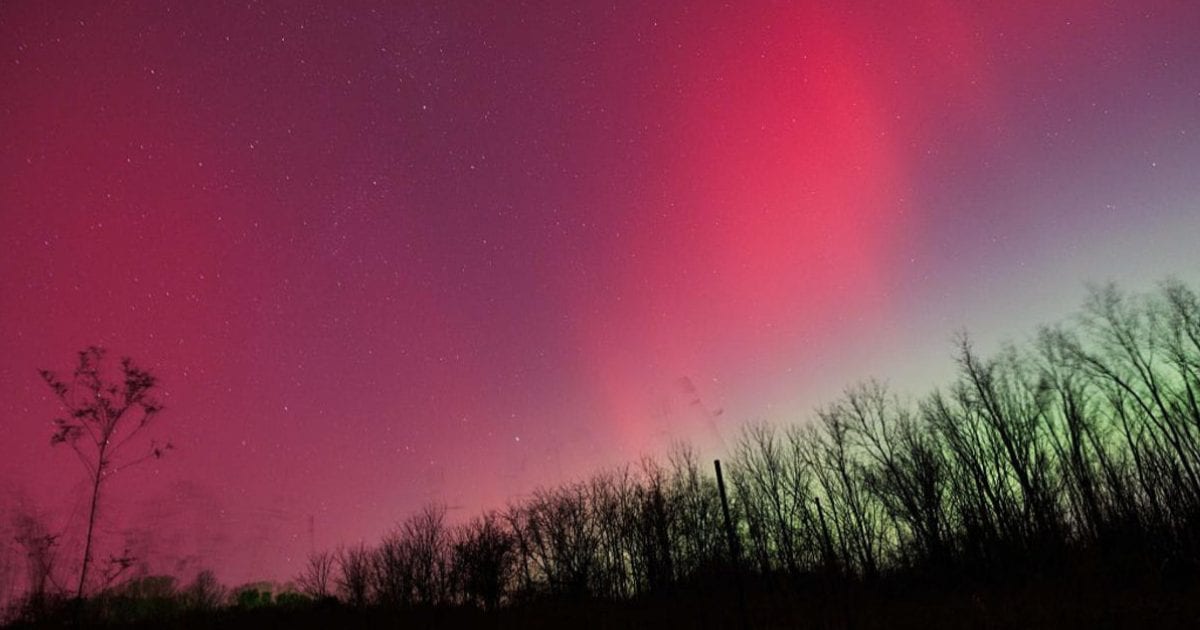 Aurora forecast: Solar wind could spark northern lights in Maine and other U.S. states on October 19-20
Residents of many of the northern U.S. states, from Washington to Maine, could get a chance to see auroras around midnight. Aurora forecast: Solar wind could spark northern lights in Maine and other U.S. states on…
-
 Trump Announces Major Oil and Mineral Exploration Plans in Greenland
The US President has announced that preparations are under way for what he described as "massive" oil, gas and mineral exploration in Greenland, reviving tensions over the Arctic island Strong winds are expected to…
Sun & moon
Forecasts, observations and alerts in the United States come from the National Weather Service (NOAA); radar from NOAA's Multi-Radar Multi-Sensor system; satellite imagery from NASA's Global Imagery Browse Services (GIBS) and NOAA's GOES satellites; the map from the U.S. Geological Survey's National Map; air quality from AirNow (EPA and its partners); hurricane information from the National Hurricane Center; climate normals and records from NOAA's Regional Climate Centers (ACIS). Forecasts outside the United States and the UV index: MET Norway (CC BY 4.0); observations outside the U.S.: airport reports via NOAA's Aviation Weather Center. Place names: GeoNames (CC BY 4.0). Data are copied on a schedule and may lag the sources; for warnings that affect your safety, follow your local National Weather Service office and emergency officials. Weather news is drawn from the 4Search index and reflects what the press published. Terms of use.