Install
Gardabani, Kvemo Kartli, Georgia Weather
Current conditions
Forecast for this hour (no station report in the last two hours)
Forecast
10-day-
Friday
Partly cloudy. High 20°. Precipitation 2.2 mm for the day.
-
Friday Night
Heavy showers. Low 11°. Precipitation 2.2 mm for the day.
-
Saturday
Light showers. High 18°. Precipitation 1.0 mm for the day.
MET Norway forecast updated 16 hrs ago.
Hourly
Hourly forecast- Now13°
- 10:0015°
- 11:0017°
- 12:0019°
- 13:0020°
- 14:0020°
- 15:0020°
- 16:0020°
- 17:0019°
- 18:0017°
- 19:0016°
- 20:0015°
- 21:0014°0.2
- 22:0014°1.6
- 23:0013°0.4
- Sat00:0013°0.4
- 01:0013°
- 02:0013°
- 03:0013°
- 04:0012°
- 05:0013°
- 06:0013°
- 07:0013°
- 08:0014°
Daily forecast
DetailsRadar
Full mapWeather news in Georgia
More weather news- Wind picks up this weekend with an eye on the tides for Coastal Georgia, Lowcountry
Friday is set to start off cool with lows in the 40s to around 50 degrees. A mild afternoon can be expected with highs in the 70s. Gusty winds arrive to start the weekend with gusts of 20-25+ mph expected, highest at…
-
 High fire danger in Cobb and much of Georgia Thursday
The National Weather Service issued a special weather statement for north and central Georgia for Thursday, Oct. 22. Weather reports can be packed with unfamiliar terms. Our plain-English guide to understanding weather…
-
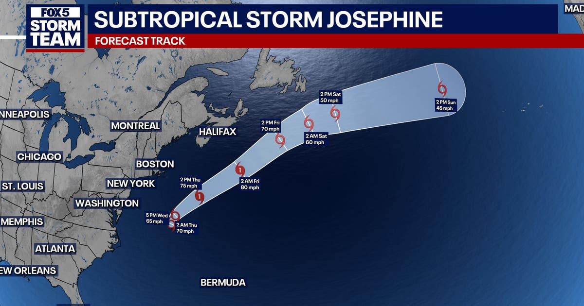 Subtropical storm Josephine forms in Atlantic: What it means for north Georgia
ATLANTA - Subtropical Storm Josephine formed Wednesday afternoon off the East Coast, becoming the latest named storm of the Atlantic hurricane season. As of 5 p.m. Wednesday, Josephine was located about 265 miles south…
-
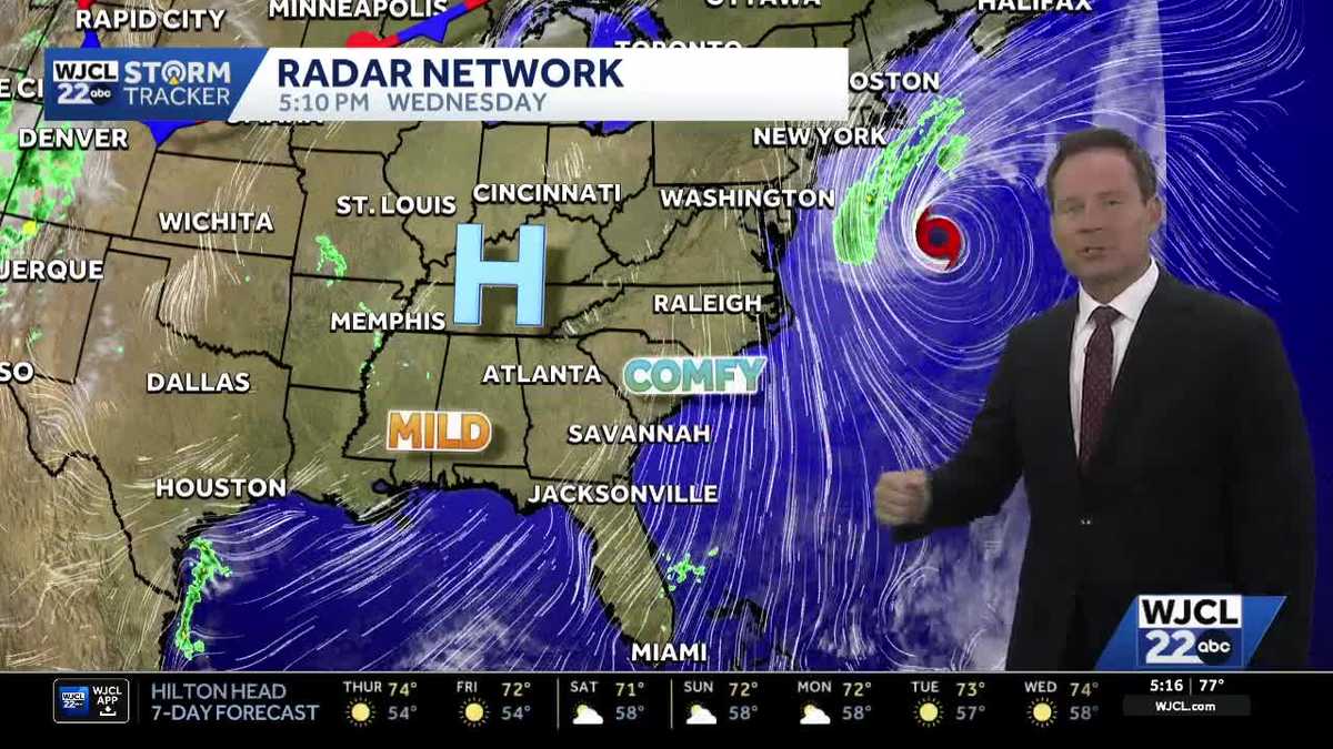 New tropical system forms & the latest on the weekend forecast for Southeast Georgia, Lowcountry
Dry weather with lots of sunshine continues this week. The next change in the weather arrives Friday into Saturday as northeast winds pick up. Wind gusts may top 30 mph at the coast to start the weekend with inland…
-
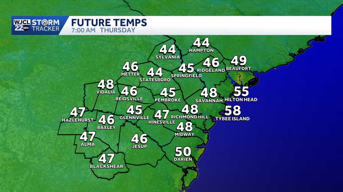 Quick temperature swings give way to a breezy start to the weekend in Southeast Georgia, Lowcountry
Cool mornings and mild afternoons remain in the forecast through the end of this week. Temperatures will once again start off chilly inland on Thursday with lows in the 40s! Grab an extra layer before leaving home…
- High fire danger expected across much of Georgia Wednesday
Cobb County and most of north and central Georgia face high fire danger Wednesday afternoon into the evening, Oct. 21, according to a special weather statement issued by the National Weather Service. Relative humidity…
-
 #Drought news October 22, 2026: Improvements occurred across portions of #Kansas, #Nebraska, #Colorado, #Wyoming, #Utah, #Arizona and #NewMexico
Drought news October 22, 2026: Improvements occurred across portions of #Kansas, #Nebraska, #Colorado, #Wyoming, #Utah, #Arizona and #NewMexico coyotegulch.blog Click on a thumbnail graphic to view a gallery of drought…
-
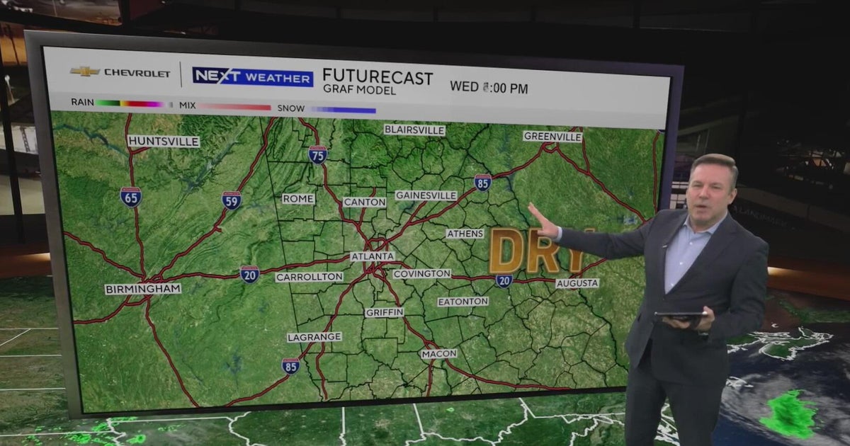 Atlanta forecast: Sunny days continue as low humidity raises fire concerns
Atlanta warms to 76 degrees after a chilly start, with dry weather expected for fans heading to State Farm Arena tonight. Low humidity keeps fire concerns elevated, while a weak front could bring slight rain chances…
-
 What to keep your thermostat at this fall as temperatures drop
People can save as much as 10 percent on heating a year by turning the thermostat back 7-10 degrees for eight hours It’s finally fall and, as the days grow colder, the need to turn on the heat rises. But what’s the…
-
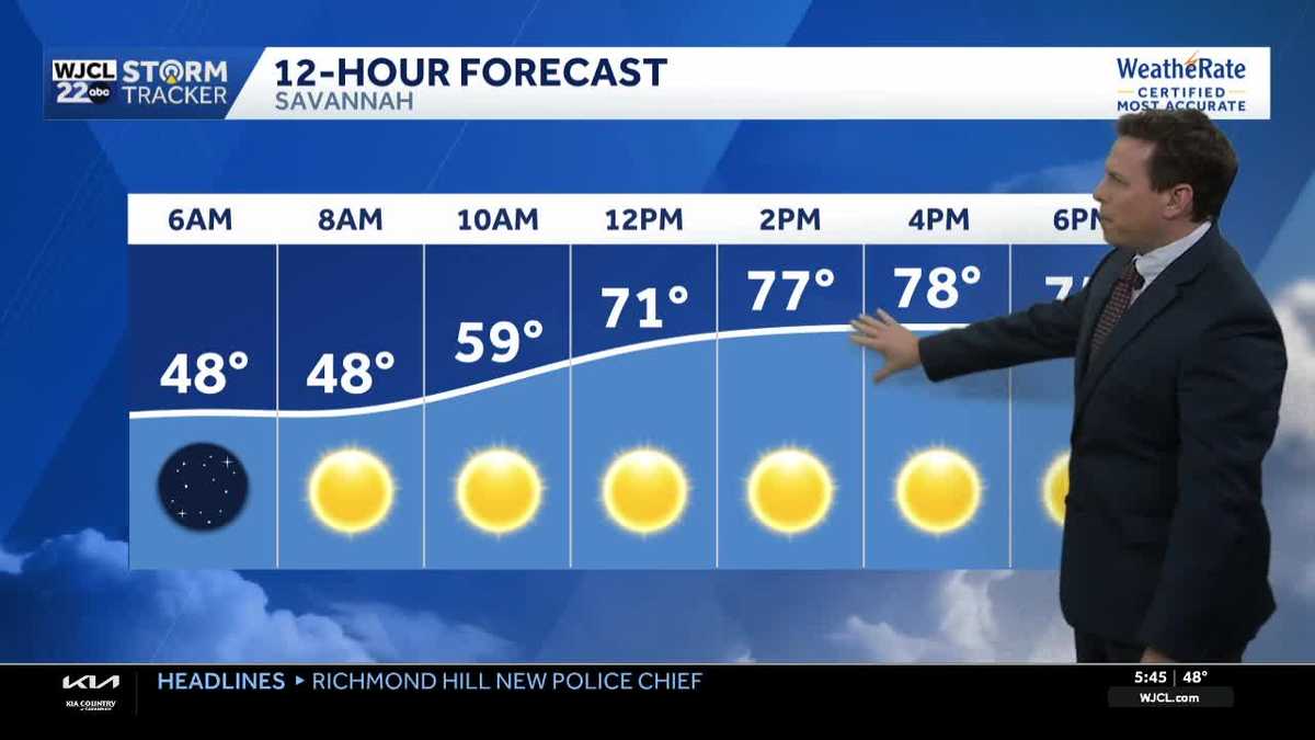 Sunny skies and pleasant fall weather continue across Southeast Georgia and the Lowcountry
Sunshine and pleasantly mild temperatures through the end of the workweek Savannah, Ga. (WJCL)- There will be sunny skies throughout the day with temperatures a few degrees milder this afternoon. Highs will be in the…
Sun & moon
Nearby
Forecasts, observations and alerts in the United States come from the National Weather Service (NOAA); radar from NOAA's Multi-Radar Multi-Sensor system; satellite imagery from NASA's Global Imagery Browse Services (GIBS) and NOAA's GOES satellites; the map from the U.S. Geological Survey's National Map; air quality from AirNow (EPA and its partners); hurricane information from the National Hurricane Center; climate normals and records from NOAA's Regional Climate Centers (ACIS). Forecasts outside the United States and the UV index: MET Norway (CC BY 4.0); observations outside the U.S.: airport reports via NOAA's Aviation Weather Center. Place names: GeoNames (CC BY 4.0). Data are copied on a schedule and may lag the sources; for warnings that affect your safety, follow your local National Weather Service office and emergency officials. Weather news is drawn from the 4Search index and reflects what the press published. Terms of use.