Install
Ringwood, England, United Kingdom Weather
Current conditions
Forecast for this hour (no station report in the last two hours)
Forecast
10-day-
Friday
Rain. High 10°. Precipitation 0.9 mm for the day.
-
Friday Night
Partly cloudy. Low 9°. Precipitation 0.9 mm for the day.
-
Saturday
Heavy rain. High 15°. Precipitation 22.2 mm for the day.
MET Norway forecast updated 10 hrs ago.
Hourly
Hourly forecast- Now9°
- 23:009°
- Sat00:009°
- 01:009°
- 02:008°
- 03:008°
- 04:008°
- 05:008°
- 06:008°
- 07:009°0.2
- 08:009°
- 09:0010°0.4
- 10:0011°0.9
- 11:0011°1.0
- 12:0011°1.4
- 13:0012°1.7
- 14:0012°2.1
- 15:0013°2.6
- 16:0013°3.2
- 17:0014°1.6
- 18:0014°0.5
- 19:0015°0.6
- 20:0015°1.5
- 21:0015°2.3
10-day forecast
DetailsRadar
Full mapWeather news near Ringwood
More weather news-
 Met Office's Storm Austen weather forecast for Southampton
The Met Office has issued a weather warning for strong winds and heavy rain as Storm Austen approaches Southampton on Friday - here is a full hour-by-hour forecast. The storm is expected to bring disruptive winds during…
-
 This Morning’s Bulletin — 10.22.26
• We’re expecting mostly cloudy skies through mid-morning today, then gradual clearing, with a high temperature near 64 degrees and a north wind 11 to 14 miles per hour, with gusts as high as 24 mph. It will be clear…
-
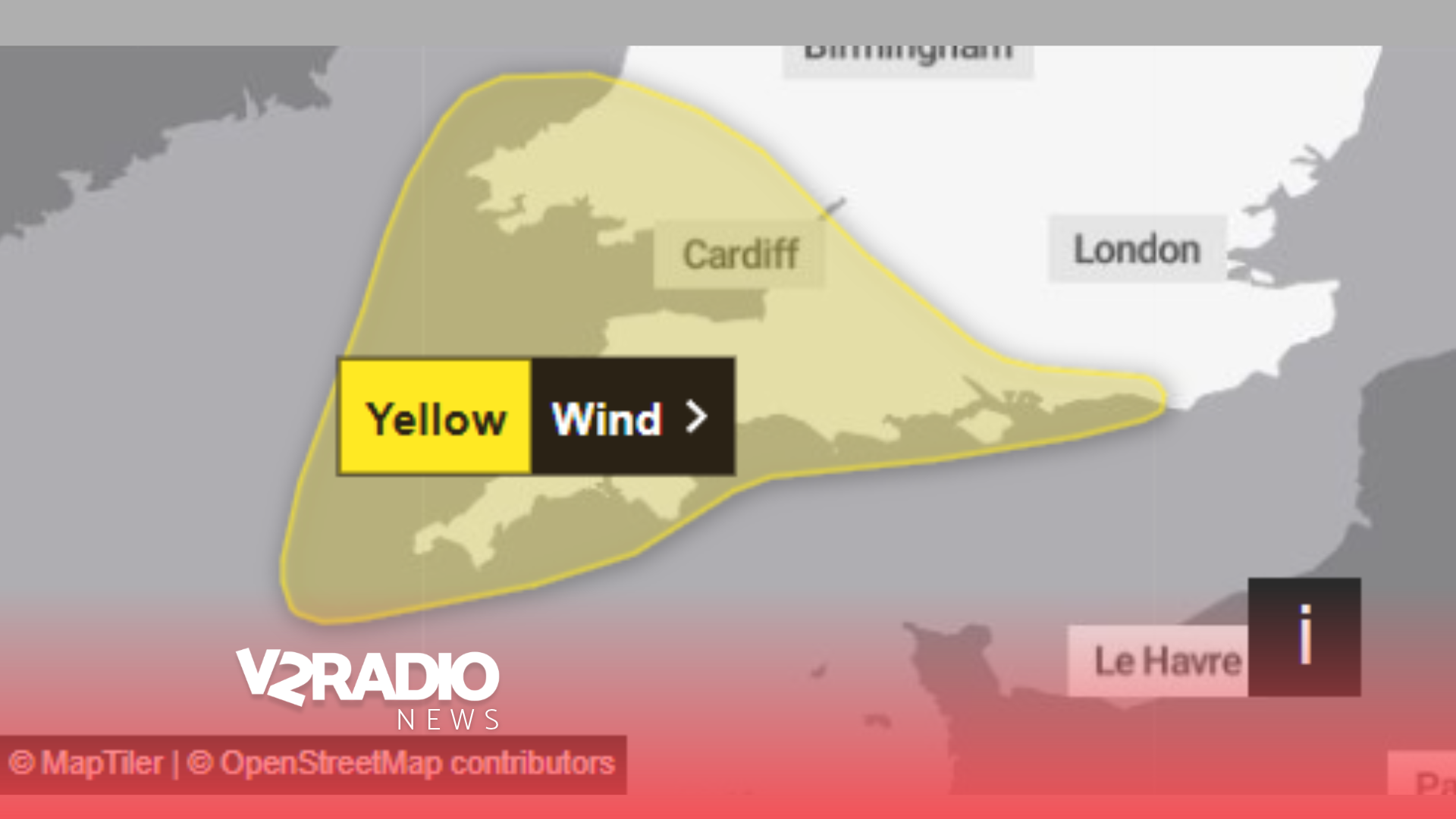 Met Office issues yellow wind warning for Sussex, Hampshire and Isle of Wight with gusts potentially exceeding 70mph
Wednesday, 21 October 2026 07:00 Residents across Sussex, Hampshire and the Isle of Wight are being warned to prepare for potentially damaging winds on Friday (23 October), with gusts possibly exceeding 70mph in some…
-
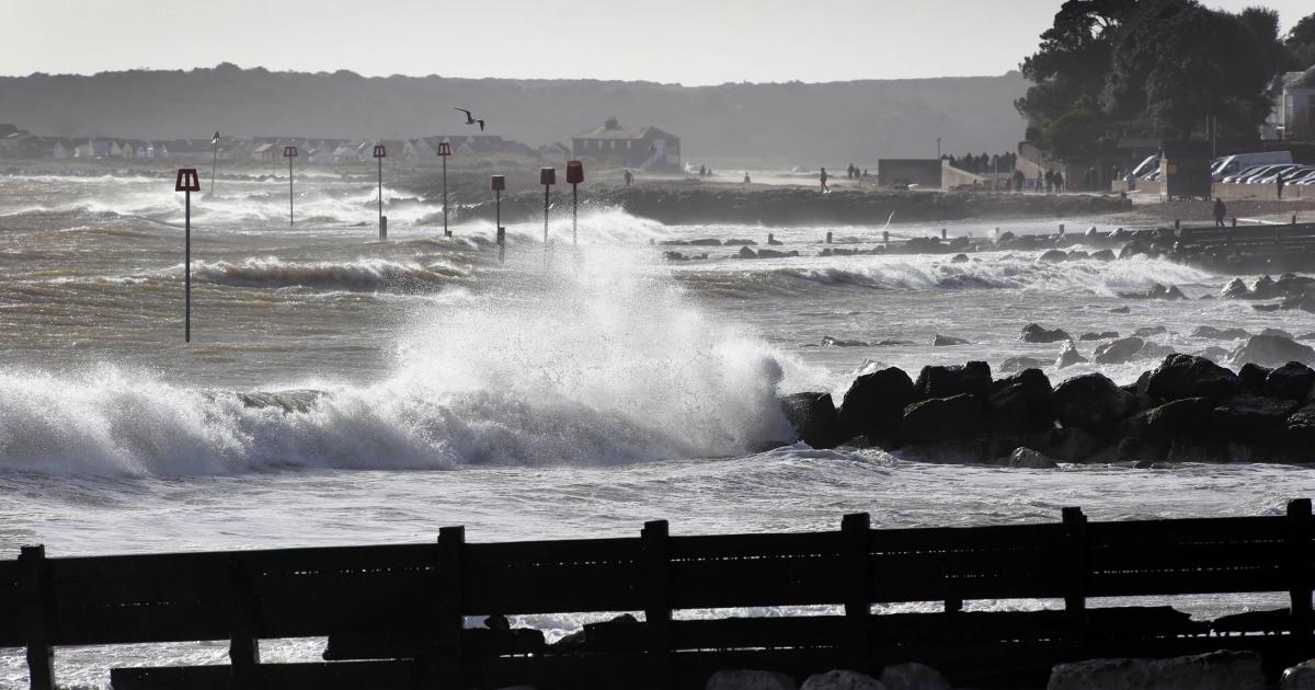 Storm Ausen - Yellow wind warning issued for BCP and Dorset
STRONG winds are expected to cause disruption and potential damage across Dorset later this week after a weather warning was issued. The Met Office has issued a yellow weather warning for wind covering the Bournemouth…
- How forecasters track rapid Atlantic cyclogenesis before a major blow — and why coastal gusts reach 70mph
Peak gusts in excess of 70mph are possible on the most exposed coastal areas, while 50-60mph are likely more widely within the warning area. Weather warnings are under constant review and could be updated as confidence…
-
 This Morning’s Bulletin — 10.20.26
• We’re expecting partly sunny skies today, with a high temperature near 65 degrees and a north wind around 14 miles per hour, with gusts as high as 26 mph. It will be partly cloudy overnight, with a low around 45…
-
 UK weather: First named storm of the season to hit Britain in just days
Britain is set to be battered by the season's first named storm, with Storm Austen to bring winds up to 70mph and potentially disruptive weather in just days. The Met Office has issued a yellow weather warning for wind…
-
 UK maps show a wet end to the week for England, before stormier weather develops next week
So far, the weekend has been marked by significantly cooler temperatures across the UK as a high-pressure system has led to a northerly breeze that’s brought an autumn chill across the country. Conditions have also…
-
 Met Office - Southampton weather forecast for next week
The Met Office is forecasting a mixed week of weather for Southampton, with temperatures set to start dropping. Saturday, October 17, will be sunny in the morning before giving way to cloudy spells, with a high of 14C…
-
 Storm Austen lashes UK as yellow wind warning widens
Storm Austen, the UK’s first named storm of the season, is bringing 80 mph gusts, travel disruption and a broad yellow wind warning across large areas. Storm Austen, the first named storm of the 2026–27 windstorm…
Sun & moon
Nearby
- Southampton 28 km
- Portsmouth 49 km
- Bournemouth 15 km
- Poole 20 km
- Gosport 47 km
- Waterlooville 53 km
- Eastleigh 34 km
- Weymouth 54 km
- Winchester 41 km
- Havant 56 km
- Salisbury 25 km
- Andover 46 km
Forecasts, observations and alerts in the United States come from the National Weather Service (NOAA); radar from NOAA's Multi-Radar Multi-Sensor system; satellite imagery from NASA's Global Imagery Browse Services (GIBS) and NOAA's GOES satellites; the map from the U.S. Geological Survey's National Map; air quality from AirNow (EPA and its partners); hurricane information from the National Hurricane Center; climate normals and records from NOAA's Regional Climate Centers (ACIS). Forecasts outside the United States and the UV index: MET Norway (CC BY 4.0); observations outside the U.S.: airport reports via NOAA's Aviation Weather Center. Place names: GeoNames (CC BY 4.0). Data are copied on a schedule and may lag the sources; for warnings that affect your safety, follow your local National Weather Service office and emergency officials. Weather news is drawn from the 4Search index and reflects what the press published. Terms of use.